Drone survey cost per acre California: 2026 pricing guide for landowners and businesses
Key Takeaways
Drone survey pricing in California depends on the work behind the flight, not acreage alone. The most useful quote defines the deliverables, accuracy, access, and intended use before assigning a price.
- Small projects often carry a minimum fee, so the per-acre figure can look high.
- Orthomosaics, elevation models, point clouds, and inspections are priced differently.
- Terrain, vegetation, airspace, travel, accuracy, and turnaround time can change the quote.
- Drone data can reduce field labor, but it does not replace every licensed land-surveying task.
- Compare providers by scope, deliverables, safety practices, and data quality—not price alone.
Understanding drone survey cost per acre in California
The phrase “drone survey cost per acre california” sounds as if one simple rate should apply to every property. In practice, California projects vary widely in terrain, access, airspace, required accuracy, and the type of information the client needs. A useful estimate starts with the project outcome and works backward to the flight plan, processing, and reporting.
Typical price ranges for different survey types
Public pricing guides commonly place photogrammetry around \\$150–\\$300 per acre and LiDAR around \\$150–\\$500 per acre, but those figures are broad planning references rather than guaranteed California quotes. A small commercial mapping assignment may cost more per acre than a large, uncomplicated tract because mobilization and processing are spread across less land. Inspection work, repeat progress imagery, and specialized modeling may be quoted by deliverable rather than acreage.
For an initial budget, treat these figures as a starting band. Then ask whether the quote includes field control, processing, contours, a 3D model, volume calculations, revisions, and travel. Those details can matter more than the headline rate.
Minimum project fees and why they matter
A provider still has to plan the mission, check airspace, travel to the property, prepare equipment, fly safely, process the data, and review the result whether the site covers two acres or twenty. That fixed work often creates a minimum project fee. As a result, a two-acre assignment may not be economical when priced strictly by multiplying a per-acre number.
The minimum is not automatically a warning sign. It becomes reasonable when the proposal clearly explains the included field time, deliverables, and assumptions. Ask what changes if the site boundary expands or a second visit is needed.
How acreage affects the effective per-acre rate
Larger sites often reduce the effective per-acre price, but only when they can be flown efficiently. A compact, open parcel may be simpler than a larger property split by trees, steep slopes, roads, or restricted airspace. Shape matters too: a long, narrow site can require more flight lines and repositioning than its acreage suggests.
A simple comparison table can help normalize competing quotes. The figures below are planning examples, not a rate card.
| Project profile | Illustrative total budget | Effective rate pattern |
|---|---|---|
| Small site, basic imagery | $1,500–$3,000 | Highest per-acre effect because of minimum fees |
| Mid-size mapping project | $3,000–$10,000 | Often more balanced across acreage |
| Large or complex LiDAR project | $10,000+ | Driven by terrain, sensor, control, and processing |
Use the table to compare the structure of a quote, not to assume that every California property fits one band. A provider should explain what the project includes and why its assumptions apply to the site.
When hourly or day rates replace per-acre pricing
Hourly or day rates make more sense when the assignment involves repeated site visits, detailed inspections, live coordination, or a corridor with changing conditions. Construction documentation may also be scheduled around milestones rather than mapped once as a single block of land. In those cases, the valuable unit is the visit, flight window, or completed deliverable.
Before approving a time-based quote, clarify the expected flight duration, processing time, travel, weather policy, and whether unused hours roll over. That prevents a low hourly rate from hiding a larger total commitment.
What is included in a California drone survey
A California drone project can produce anything from a set of high-resolution photographs to a structured 3D dataset. The phrase “survey” is therefore worth unpacking before work begins, especially when the result will support design, permitting, construction decisions, or a legal document. The deliverable list should be written into the proposal.
Aerial imagery and orthomosaic maps
Aerial imagery records the site from above, while an orthomosaic combines overlapping images into a map-like view corrected for perspective. This can help teams review access, staging, site conditions, and visible progress without walking every part of a property. High-resolution orthomosaic mapping is particularly useful when stakeholders need a shared visual reference.
The quote should state the expected resolution, coverage boundary, file format, and whether the imagery is intended for visual reference or measurement. Image capture alone is not the same as a completed mapping deliverable.
Topographic maps and elevation models
Elevation products describe changes in ground or surface height and may include contours, digital surface models, or other map layers. Their usefulness depends on vegetation, ground visibility, control, processing choices, and the accuracy standard agreed upon at the start. For site planning, the important question is whether the output fits the engineer’s or project manager’s workflow.
Ask whether breaklines, contours, coordinate systems, and known vertical or horizontal references are included. If the project needs certified survey documents, bring a licensed Professional Land Surveyor into the scope rather than assuming an aerial map fulfills that role.
3D models, point clouds, and volumetric data
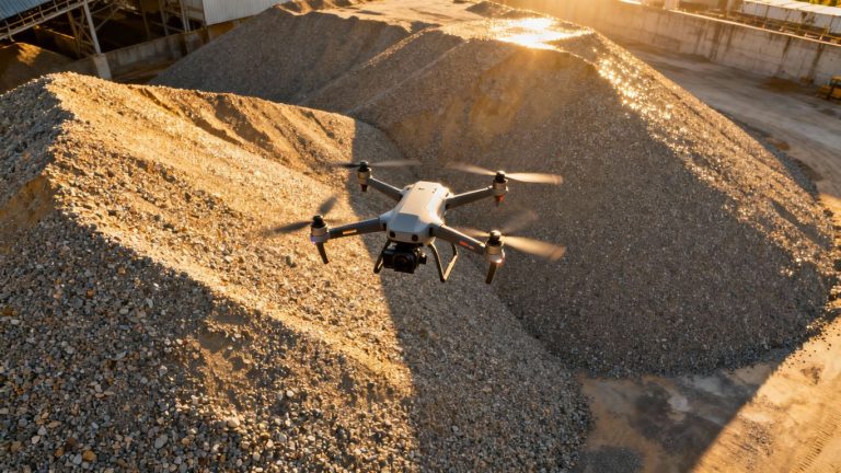
Photogrammetry and LiDAR can support three-dimensional visualization and point-cloud deliverables, while repeated captures can help track changes over time. Stockpile work is a common example: a model can support volume calculations without requiring workers to climb unstable material. California teams can review stockpile volumetrics when deciding whether that type of output fits their operation.
A 3D product is only useful when its coordinate system, coverage, density, and intended measurement use are clear. Confirm whether the quote includes a browser viewer, downloadable files, classified points, volume reports, or only a rendered model.
Ground control points and survey-grade accuracy
Ground control points are measured locations used to tie aerial data to known positions. They may be especially important where the project requires tighter accuracy, where vegetation complicates image matching, or where the client needs independent checks. RTK or PPK workflows can affect how much field control is necessary, but they do not remove the need to define and verify accuracy.
Accuracy should be described with a stated method and tolerance, not a vague promise of precision. The sensor-fusion accuracy guide offers useful background for comparing LiDAR, cameras, RTK, PPK, and control requirements. A licensed Professional Land Surveyor remains the right professional for legal boundaries and certified survey deliverables.
Data processing, revisions, and final deliverables
Processing turns flight data into usable files, and it can represent a substantial part of the project cost. Clarify who checks the output, how errors are handled, how many revision rounds are included, and how long files remain available. Also confirm ownership, retention, export formats, and compatibility with CAD, GIS, or project-management systems.
A strong proposal names the final files rather than simply promising “survey data.” It should also identify weather or access conditions that could require a reshoot and explain whether that work is included.
The factors that change drone survey pricing
Two nearby properties can receive very different quotes because the operational problem is different. A steep, wooded parcel near controlled airspace may require more planning and field time than a larger, open agricultural tract. Site complexity drives cost through several small decisions that add up.
The best way to control that cost is to provide a clear boundary, purpose, target date, known hazards, and preferred deliverables before requesting bids.
Terrain, vegetation, and site accessibility
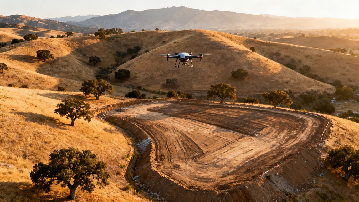
Slopes, dense vegetation, water, power lines, active equipment, and limited takeoff areas can slow a mission or reduce the usable data. Trees may hide the ground from a camera, while rough terrain can make ground control harder to place and verify. Difficult access may also require additional safety planning or a longer visit.
Share recent site photographs and access instructions with the provider. A short preflight review can reveal whether the assignment needs a different sensor, more control, or a conventional field component.
Survey accuracy and required ground control
Accuracy requirements should follow the decision the data will support. A progress overview does not normally demand the same control strategy as detailed engineering coordination. If the client needs defensible measurements, the proposal should state the reference system, checkpoints, expected tolerance, and quality-control process.
Do not select a quote solely because it uses the words “survey grade.” Ask how accuracy will be established and reported. That distinction protects both the project budget and the people relying on the data.
Project size, shape, and flight complexity
Acreage is only one measure of workload. Flight-line spacing, overlap, obstacles, takeoff locations, corridor length, and the number of separate work areas can change mission time. Multiple disconnected parcels may require more setup than one continuous property with the same total area.
When requesting a quote, provide a map file if possible. A visible boundary lets the provider evaluate the site’s shape and identify operational constraints before pricing the work.
Turnaround time and expedited delivery
Routine processing gives the provider time to schedule flights, review data, and correct issues before delivery. A rush request may require schedule changes, after-hours processing, or a second team member for quality control. That added responsiveness can carry a premium.
State the decision deadline rather than simply asking for the fastest possible delivery. A provider can then recommend a practical interim product, such as imagery first and processed mapping later, if that meets the project need.
Travel, mobilization, and additional site visits
Travel can include mileage, lodging, tolls, equipment transport, and time spent reaching a remote site. A second visit may be needed because of weather, blocked access, incomplete coverage, or a change in the requested area. These terms should be visible before the work begins.
A useful quote separates base production from travel and optional services. That makes it easier to compare local and out-of-area providers without treating every difference as a hidden fee.
Drone survey costs by project type
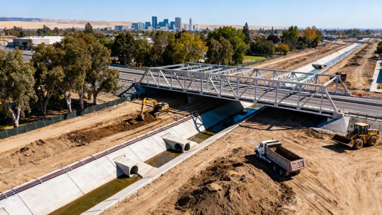
The same aircraft and pilot can support very different assignments, but the deliverable and risk profile change by industry. Construction teams may need repeat documentation, while a quarry may need a volume calculation and an agricultural client may need a field overview. Pricing should reflect that purpose.
Construction site mapping and progress monitoring
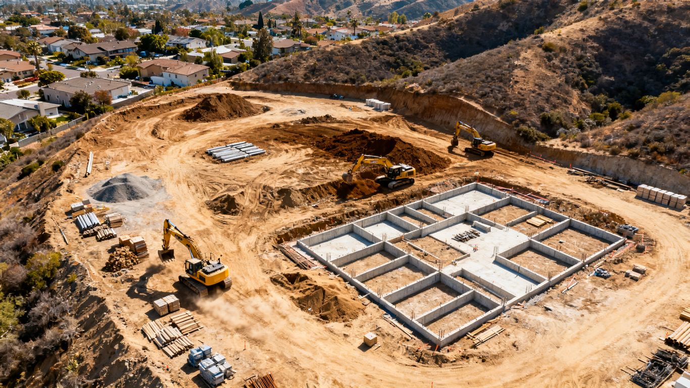
Construction mapping often involves a baseline capture followed by repeat flights at agreed milestones. The value lies in consistent viewpoints, organized files, and timely information for managers, engineers, and contractors. Construction site monitoring can be evaluated as a recurring documentation workflow rather than a one-time acreage purchase.
Ask whether the proposal includes fixed flight boundaries, repeat scheduling, comparison views, annotations, and delivery to the team’s existing platform. A lower initial price may not be the best value if every follow-up visit must be rebuilt from scratch.
Agricultural land and crop scouting
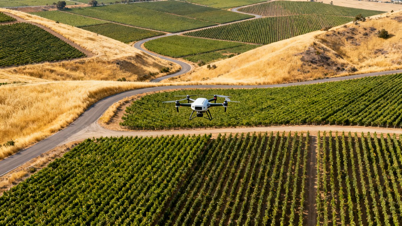
Agricultural work can cover substantial acreage, but the useful output depends on crop type, season, terrain, and the question being asked. A visual overview, vegetation assessment, or repeat comparison may require different capture settings and timing. Access and weather can also affect the flight window.
Clarify whether the deliverable is imagery, an index or analysis layer, a map, or a report. The word “survey” should not obscure the difference between general aerial information and a measurement product.
Mining, quarry, and stockpile measurements
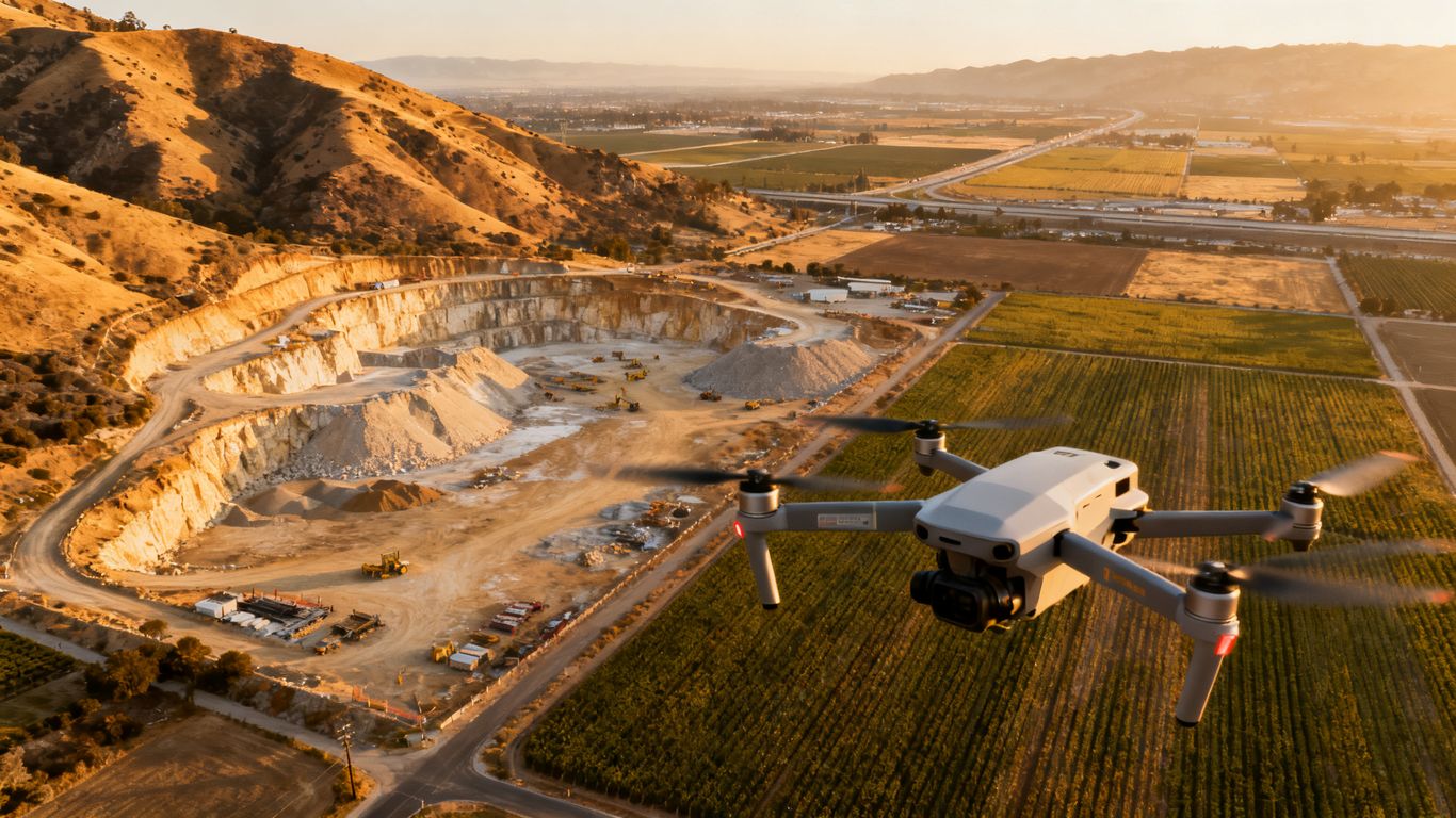
Quarries and material yards often use aerial models to estimate stockpile volumes, inspect working areas, and document changes. The cost depends on the number of stockpiles, site safety requirements, desired accuracy, control, and whether the result must be repeated on a schedule. A single broad flight may not be equivalent to a carefully separated inventory report.
For these sites, discuss exclusion zones, active equipment, dust, slopes, and safe launch locations during planning. A clear volume report and a repeatable method may matter more than the lowest capture price.
Solar, utility, and infrastructure inspections
Inspection pricing is usually tied to assets, access, risk, and the type of imagery required rather than acreage alone. High-resolution visual inspection, thermal imagery, and infrastructure documentation each involve different preparation and review. A bridge, solar array, or utility corridor may also require coordination with site owners and operations teams.
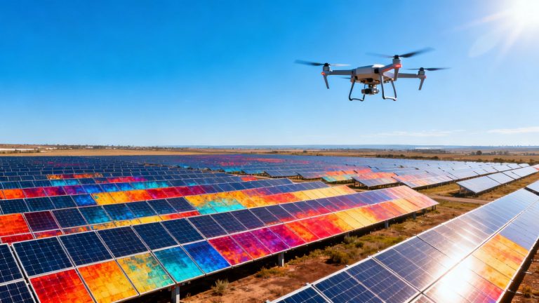
For solar assets, solar panel inspections describe a workflow using thermal and high-resolution imagery to identify issues such as hot spots, cracked cells, PID, and soiling. Confirm the asset count, inspection criteria, reporting format, and any limits on what the imagery can establish.
Real estate, development, and boundary planning
Development teams may use aerial imagery and terrain visualization during early planning, but those products do not automatically establish property lines or replace a legal survey. Aerial data can help communicate existing conditions, compare site options, and identify questions for the design team.
Budget separately for visual planning information and licensed surveying. Keeping those scopes distinct avoids paying for a deliverable that cannot legally serve the intended purpose.
California regulations and site conditions that affect costs
Regulatory planning is part of the price, even when it does not appear as a separate line item. The pilot must operate within federal rules, and the project may involve controlled airspace, people, roads, facilities, privacy concerns, or local access requirements. California’s varied geography adds another layer of planning.
A provider should explain the operational assumptions behind the quote and identify anything the client must arrange before the flight.
FAA Part 107 pilot and operational requirements
Commercial drone work generally requires an appropriately certified remote pilot and operations that comply with applicable Federal Aviation Administration rules. Limits involving airspace, visibility, weather, people, and operating conditions can affect when and how a mission is flown. Compliance planning protects the schedule as well as the site.
Ask who is responsible for preflight review, documentation, waivers when applicable, and coordination with the property representative. A low quote is less useful if it depends on an operation that cannot be performed lawfully.
Airspace authorization near airports and urban areas
Properties near airports, heliports, dense development, or other sensitive locations may require additional airspace review or authorization. Urban sites can also involve more people, structures, traffic, and communications. These factors may reduce available flight windows or require a revised mission plan.
Provide the exact site location early. Airspace work can be assessed before a provider commits to a date, and the proposal can reflect realistic scheduling rather than an optimistic assumption.
Local restrictions, privacy concerns, and land access
Federal approval does not automatically grant permission to launch from private land or operate over every neighboring area. Property access, privacy expectations, site policies, and local restrictions should be addressed with the owner or manager. Active construction sites may also require a safety briefing and coordination with supervisors.
Put launch permission and access responsibilities in writing. Doing so prevents a crew from arriving at a site where the aircraft can fly but cannot safely or legally be deployed.
Coastal, mountainous, and wildfire-affected locations
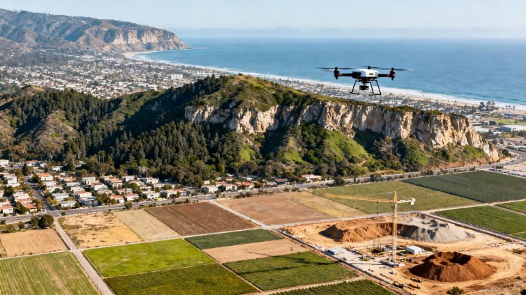
Coastal fog, wind, cliffs, steep mountain terrain, smoke, damaged access roads, and unstable ground can all affect scheduling and risk controls. Wildfire-affected areas may also involve closures, emergency activity, restricted airspace, or hazardous debris. A mission that looks straightforward on a map may need a careful site-specific review.
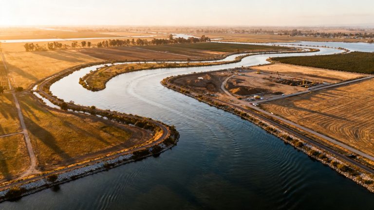
Environmental mapping can be a separate use case from construction documentation. For broader land-management work, environmental aerial data describes applications involving vegetation, wildfire prevention, coastal conservation, and difficult terrain.
When a licensed land surveyor is required
Drone imagery and models can support planning, documentation, inspection, and visualization, but they do not automatically become a boundary survey, certified topographic survey, or construction layout. California projects that require a professional land-surveying service should engage a licensed Professional Land Surveyor under the applicable rules.
This distinction should appear in the scope, especially when a client uses the word “survey” to mean a legal or certified deliverable. A drone provider may capture useful aerial information that a surveyor later incorporates into a broader professional workflow, but the roles are not interchangeable.
Comparing drone surveys with traditional land surveying
Drone capture and conventional land surveying answer overlapping but different questions. A drone can cover a broad area quickly and create a useful visual record, while ground crews may establish legal positions, collect precise points in obscured locations, or set construction controls. The right choice depends on the decision and the required authority of the final document.
Cost comparisons should therefore compare equivalent scopes. Aerial imagery is not a like-for-like substitute for a signed and sealed boundary or construction survey.
Differences in speed, coverage, and field labor
A drone can collect broad site imagery with fewer people walking through active or hazardous areas. That can reduce field disruption and make repeat documentation practical. Processing still takes time, and difficult sites may require ground verification, so the advantage is usually a change in coverage and workflow rather than instant delivery.
For project teams, the operational benefit may include fewer site interruptions and a more complete visual record. The value is greatest when the output is organized for the people making schedule, safety, and cost decisions.
Accuracy limits for legal boundaries and construction layout
Aerial models can be highly detailed without establishing legal property corners or providing construction layout. Vegetation, reflective surfaces, low-texture ground, control quality, and processing choices all influence measurement results. A model’s apparent precision should never be confused with professional certification.
Use drone data for the purposes stated in the proposal, and ask a licensed Professional Land Surveyor to handle boundary determinations, legal descriptions, or layout when required. That division is clearer and safer than treating every aerial map as a survey document.
Combining drone data with conventional survey methods
Many projects benefit from combining broad aerial coverage with targeted ground measurements. The aerial dataset can provide context and surface information, while a survey crew supplies control, boundary evidence, or points hidden by vegetation and structures. Coordination is essential so that both datasets use compatible references and naming conventions.
The scope should identify who establishes control, who verifies accuracy, and who is responsible for the final professional opinion. This approach can limit field effort without asking the drone deliverable to do work it was not designed to do.
Situations where traditional surveying remains necessary
Traditional surveying remains necessary for legal boundaries, property corners, construction staking, certain certifications, and locations where trees, buildings, or restricted airspace prevent adequate aerial capture. It may also be the better choice for small, highly detailed areas where setup costs outweigh the benefit of broad coverage.
A careful provider will say when conventional work is appropriate. That recommendation is a sign of responsible scoping, not a failure of drone technology.
Estimating potential savings and return on investment
Savings can come from faster coverage, fewer site visits, reduced exposure to hazards, and earlier awareness of changes. The return is project-specific: a single avoided rework event may matter more than a lower survey invoice, while a low-risk site may show little financial difference. Include schedule effects, staff time, access disruption, and the value of repeatable documentation in the calculation.
Compare the expected decision benefit with the total cost of capture, processing, review, and any professional surveying still required. That produces a more honest return estimate than comparing a drone quote with only the field portion of a conventional assignment.
How to budget and choose a California drone survey provider
A dependable quote should make the unknowns visible. Before comparing numbers, define the site boundary, purpose, accuracy, output formats, schedule, access conditions, and intended users. Then evaluate whether the provider can explain its process in plain language.
For teams managing construction or engineering work, organized aerial data is more useful than a folder of unexplained photographs. The provider should connect the capture plan to a real project decision.
Questions to ask about equipment, pilots, and credentials
Ask who will fly, what experience the team has with the site type, which sensor is proposed, and how safety and airspace checks are handled. Equipment matters, but the mission plan, quality controls, and ability to communicate constraints matter just as much. Confirm insurance and any site-specific training requirements.
You can also ask whether the proposed system is appropriate for the required resolution, terrain, vegetation, and deliverable. A more expensive sensor is not automatically the right choice for every project.
Reviewing sample maps, accuracy reports, and deliverables
Request representative samples that resemble your intended project. Review the map layout, file formats, coordinate reference, point density, metadata, accuracy report, and ease of sharing. If the provider cannot show how a client receives and uses the result, the quote may be describing capture rather than a complete workflow.
Pay attention to limitations as well as attractive visuals. A candid explanation of gaps, occlusions, and verification requirements is more useful than an image that looks precise but lacks supporting information.
Comparing quotes on scope instead of price alone
Put competing proposals into the same comparison frame. The following questions are useful when a quote appears unusually low or high:
- Is the flight area defined by a map or only by an acreage estimate?
- Are control, checkpoints, processing, and quality review included?
- Which files, reports, viewers, and revision rounds will be delivered?
- Are travel, airspace coordination, reshoots, and rush work clearly addressed?
Once those points are aligned, the price difference becomes easier to interpret. A higher quote may include work that another provider has left optional or unstated.
Identifying hidden fees and contract exclusions
Look for charges related to travel, lodging, permits or authorizations, additional parcels, difficult access, weather delays, reshoots, rush delivery, storage, and extra revisions. Also check whether taxes, file exports, and third-party professional services are included. Ambiguous exclusions can turn a reasonable estimate into an expensive change order.
Ask what happens when the weather is unsafe or the site is occupied. A written rescheduling policy gives both sides a practical way to protect the project schedule.
Planning repeat surveys to reduce long-term costs
If the site will be revisited, establish a repeatable boundary, capture direction, control strategy, naming system, and delivery schedule from the start. Consistency makes comparisons more useful and reduces the time spent explaining each new flight. A recurring arrangement may also make mobilization and processing easier to budget.
Discuss the cadence that matches the decision cycle rather than ordering more imagery than the team can use. For a construction manager, weekly, milestone-based, or event-triggered captures may each make sense under different conditions.
Conclusion
The most reliable way to estimate California drone survey pricing is to define the decision, deliverables, accuracy, site conditions, and schedule before discussing acreage. Drone data can improve coverage and project awareness, but legal surveying and certified work still belong with the appropriate licensed professional. For a practical project discussion, consider Aeroskape when your team needs organized aerial data capture, imaging, or inspections that support construction and engineering decisions.
Frequently Asked Questions
What is the typical drone survey cost per acre in California?
Broad planning ranges often place photogrammetry around $150–$300 per acre and LiDAR around $150–$500 per acre, but minimum fees and site complexity can make the actual effective rate much higher or lower.
Why do small properties often cost more per acre?
Small projects still require planning, travel, setup, flight, processing, and quality review. Those fixed tasks are spread across fewer acres, so a minimum project fee can dominate the effective rate.
Does a drone survey include an orthomosaic?
Not always. An orthomosaic should be listed specifically in the proposal, along with its coverage, resolution, coordinate reference, file format, and revision terms.
Can drone data replace a boundary survey?
No. Drone imagery and models may support planning or provide useful site context, but legal boundaries, property corners, and certified surveying tasks require the appropriate licensed Professional Land Surveyor.
Is LiDAR always more expensive than photogrammetry?
LiDAR often costs more because of sensor, processing, and control requirements, but the final price depends on terrain, vegetation, accuracy, area, access, and deliverables. It is not automatically the best choice for every site.
What information should be provided when requesting a quote?
Provide the site boundary, location, acreage, purpose, desired deliverables, accuracy requirements, deadline, access conditions, known hazards, and whether repeat visits are expected. A map file and recent site photos can improve the estimate.
Can weather or airspace change the final price?
Yes. Unsafe weather, restricted airspace, access problems, or operational changes can require rescheduling, additional authorization work, or a second visit. The proposal should explain how those situations are handled.