LAANC authorization at Oakland Airport: A practical guide to flying a drone legally
Key Takeaways
Flying a drone near Oakland Airport calls for careful airspace research, an appropriate LAANC request, and disciplined operation planning.
- Check the exact launch and landing location before planning the flight.
- Use an FAA-approved LAANC provider when authorization is required.
- Treat the approved altitude, area, date, and time as firm limits.
- LAANC does not replace weather checks, local permissions, or general flight rules.
- Keep authorization records and document any changes to the operation.
Understanding LAANC authorization near Oakland Airport
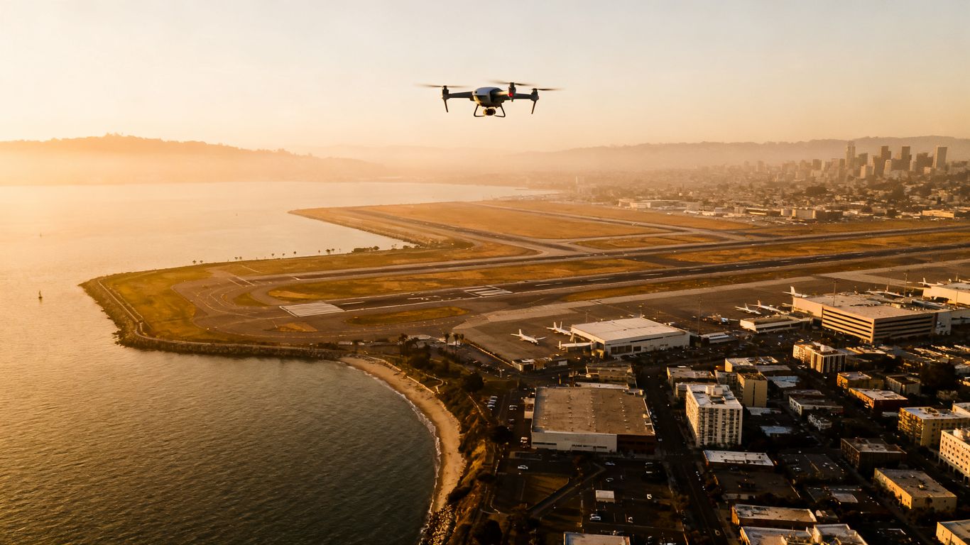
LAANC is the FAA’s Low Altitude Authorization and Notification Capability for requesting access to controlled airspace. It connects drone pilots with FAA-approved UAS Service Suppliers, which submit flight details for automated review. Near Oakland Airport, that process can provide an authorization in near real time when the proposed operation fits the available parameters. The system helps with airspace access, but it does not make an unsafe flight legal or appropriate.
What LAANC is and how it works
A pilot enters the proposed location, date, time, duration, and altitude through an approved provider. The request is checked against relevant airspace information, including UAS Facility Maps, airport data, special-use airspace, temporary flight restrictions, and other notices. If the request is approved, the authorization describes the limits that apply to that operation. The FAA explains that LAANC provides airspace authorization only, so pilots remain responsible for weather, NOTAMs, and all other applicable rules.
Why Oakland Airport airspace requires extra planning
Oakland International Airport is an active aviation environment, and nearby drone operations may interact with controlled airspace and airport traffic patterns. That makes a casual “arrive and launch” approach unsuitable, even for a short flight. A useful starting point is this Oakland drone laws guide, which outlines the relationship between Oakland-area operations, airport airspace, and federal requirements. The exact location still matters, since restrictions can change across a relatively small area.
The difference between controlled and uncontrolled airspace
Controlled airspace is managed around airports and other locations where air traffic services coordinate aircraft movement. A drone flight in controlled airspace may require authorization even when the aircraft will remain well below 400 feet. Uncontrolled airspace is not automatically unrestricted: pilots must still follow the applicable operating rules, temporary restrictions, safety requirements, and property or local limitations. Airspace status is only one part of the decision to fly.
How airport facility maps affect drone operations
FAA UAS Facility Maps show areas where the FAA may authorize routine drone operations at specified altitudes through LAANC. They are planning references, not permission to fly. A map value can help a pilot shape a request, but the authorization received through the provider controls the actual operation. If the requested altitude or location falls outside automated parameters, the flight may need further coordination instead.
Checking whether your Oakland drone flight needs approval
Before opening a LAANC app, define the operation precisely. The launch point, landing point, flight area, maximum altitude, date, and time all affect the airspace review. A few minutes spent confirming these details can prevent an inaccurate request or an approval that does not cover the flight you actually intend to conduct.
Identifying the exact launch and landing location
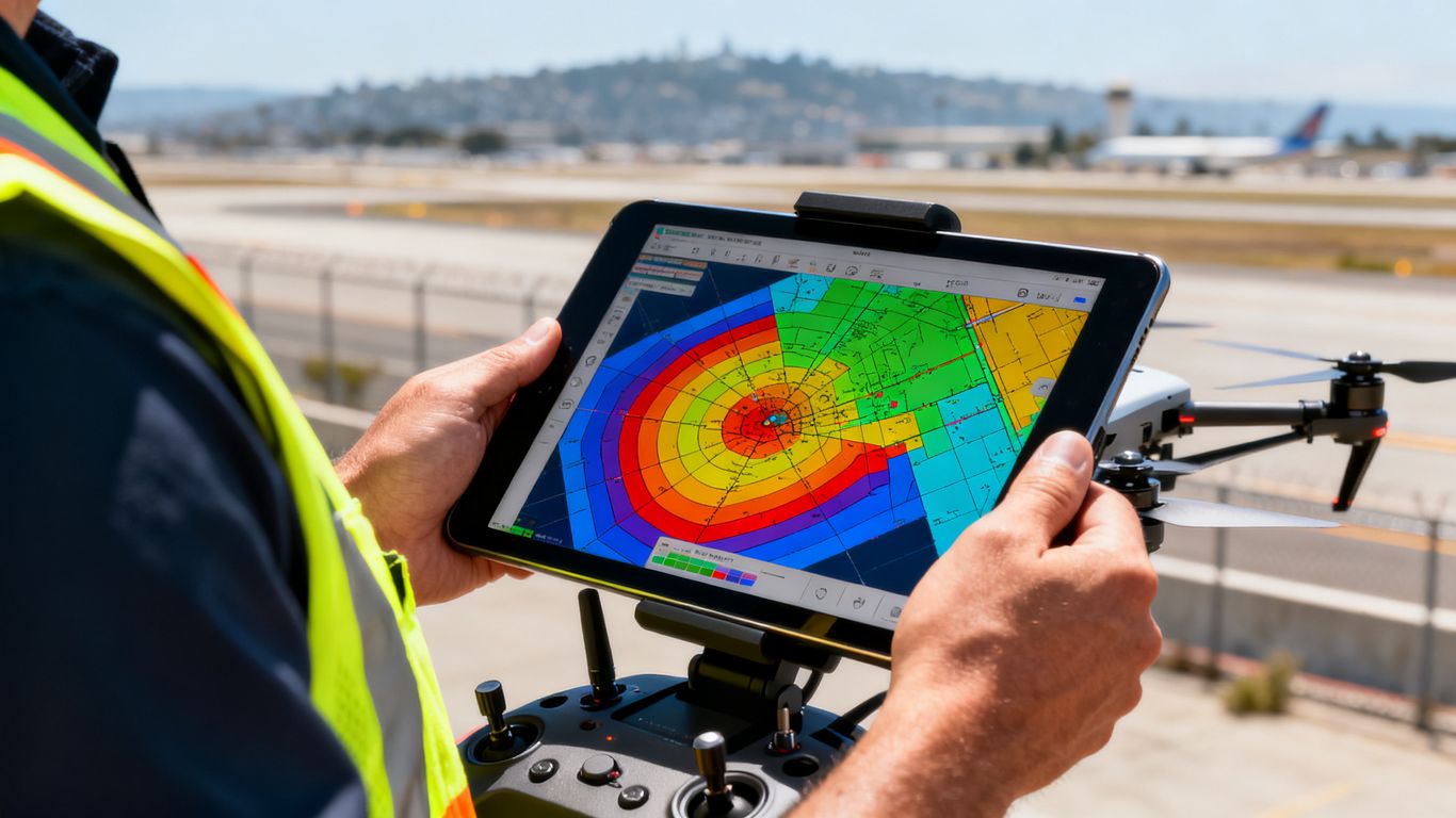
Use the actual takeoff and landing point rather than a broad city name or approximate neighborhood. Consider whether the aircraft will cross a boundary while collecting images, inspecting a structure, or repositioning between viewpoints. A flight area that seems simple on the ground may overlap an airport surface area, controlled zone, or another restriction. If the launch site changes on the day, reassess the request instead of assuming the original approval follows the aircraft.
Reviewing FAA UAS Facility Map altitudes
The facility map altitude is a useful early check for the maximum altitude that may be available through automated authorization in a particular grid. Compare it with the height needed for the work, including the structure or terrain being observed. Do not treat the grid number as a guaranteed approval or as permission to fly at that height without submitting a request. The final authorization and any operational conditions remain controlling.
Understanding authorization zones around Oakland Airport
Authorization zones may extend beyond the airport fence, and their boundaries may not match roads, parks, or property lines visible from the ground. A flight near Oakland can also be affected by other nearby airspace, so the map should be reviewed at a useful zoom level. Enter the smallest practical operating area, since a narrowly defined request is easier to compare with the proposed work than a large blanket polygon.
When LAANC approval does not replace other permissions
LAANC addresses airspace authorization, not every permission connected with a flight. Depending on the site, you may also need consent from a property owner, access approval from a client, a local park permit, or compliance with privacy and emergency-response restrictions. Check current FAA information, weather, NOTAMs, and local requirements before takeoff. For project teams, keeping these approvals together reduces confusion when the pilot and site manager are working from different locations.
Applying for LAANC authorization for an Oakland Airport drone flight
Once the operation is defined, the application is mostly a matter of entering accurate information and reading the result carefully. Choose an FAA-approved provider, review the map, and allow enough time to correct an error before the planned launch. The goal is not simply to receive an approval notice; it is to receive one that matches the real flight.
Choosing an FAA-approved LAANC provider
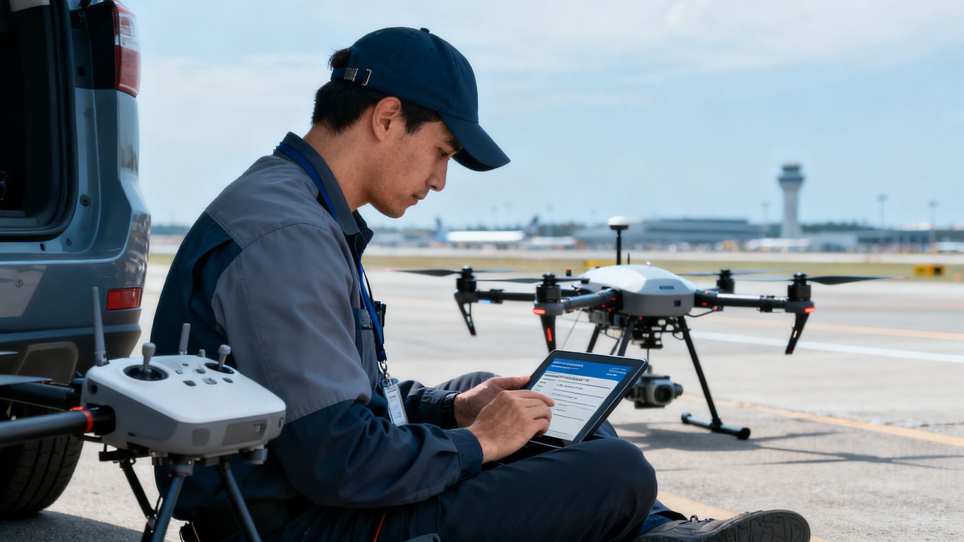
Use an application or web service provided by an FAA-approved UAS Service Supplier. The provider presents the relevant map and request fields, then sends the information through the LAANC process. Provider interfaces differ, but the underlying responsibility does not: the pilot must understand the proposed operation and confirm the submitted details. Avoid relying on an old screenshot or a saved request from a different site.
Entering the operation date, time, and altitude
Enter the intended start and end time, not a vague estimate that leaves the aircraft operating outside the request. Use the correct time zone and choose an altitude that covers the actual mission without exceeding what is available for automated approval. If the work may run late, build a realistic margin into the request where allowed. A new or amended request may be necessary when the schedule changes materially.
Providing pilot and flight details accurately
Provide the operator’s name and contact information exactly as requested, and make sure the responsible pilot can be reached during the operation. Describe the aircraft and operating purpose truthfully. The information should allow the request to be associated with the person and flight being conducted, rather than with a different team member, aircraft, or project date.
Reviewing and submitting the authorization request
Read the pre-submission summary and inspect the operating area on the map. Confirm the altitude, date, duration, and contact details before agreeing to the request. After submission, save the authorization and examine any conditions or limitations rather than assuming approval means unrestricted access. If the result does not match the mission, stop and revise the plan before launching.
Planning a safe drone operation after approval
Approval is a planning milestone, not the end of planning. The pilot still needs a site assessment, a workable visual observer or crew arrangement, and a clear response to people, vehicles, weather, and unexpected aircraft. For project teams, good preparation also keeps the flight aligned with the information the team actually needs.
Confirming the approved altitude and operating area
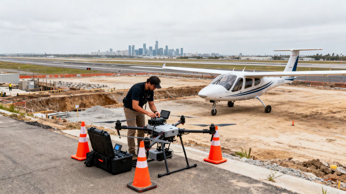
Compare the authorization with the mission plan immediately before departure. Check that the takeoff point, flight polygon, maximum altitude, date, and operating window all match. If a construction site or inspection target has shifted, update the plan rather than stretching the approved area informally. Aeroskape provides aerial imaging and drone-based construction site monitoring in Oakland, where organized visual information can support planning and progress tracking; any such work still depends on an appropriate flight authorization and site plan.
Maintaining visual line of sight
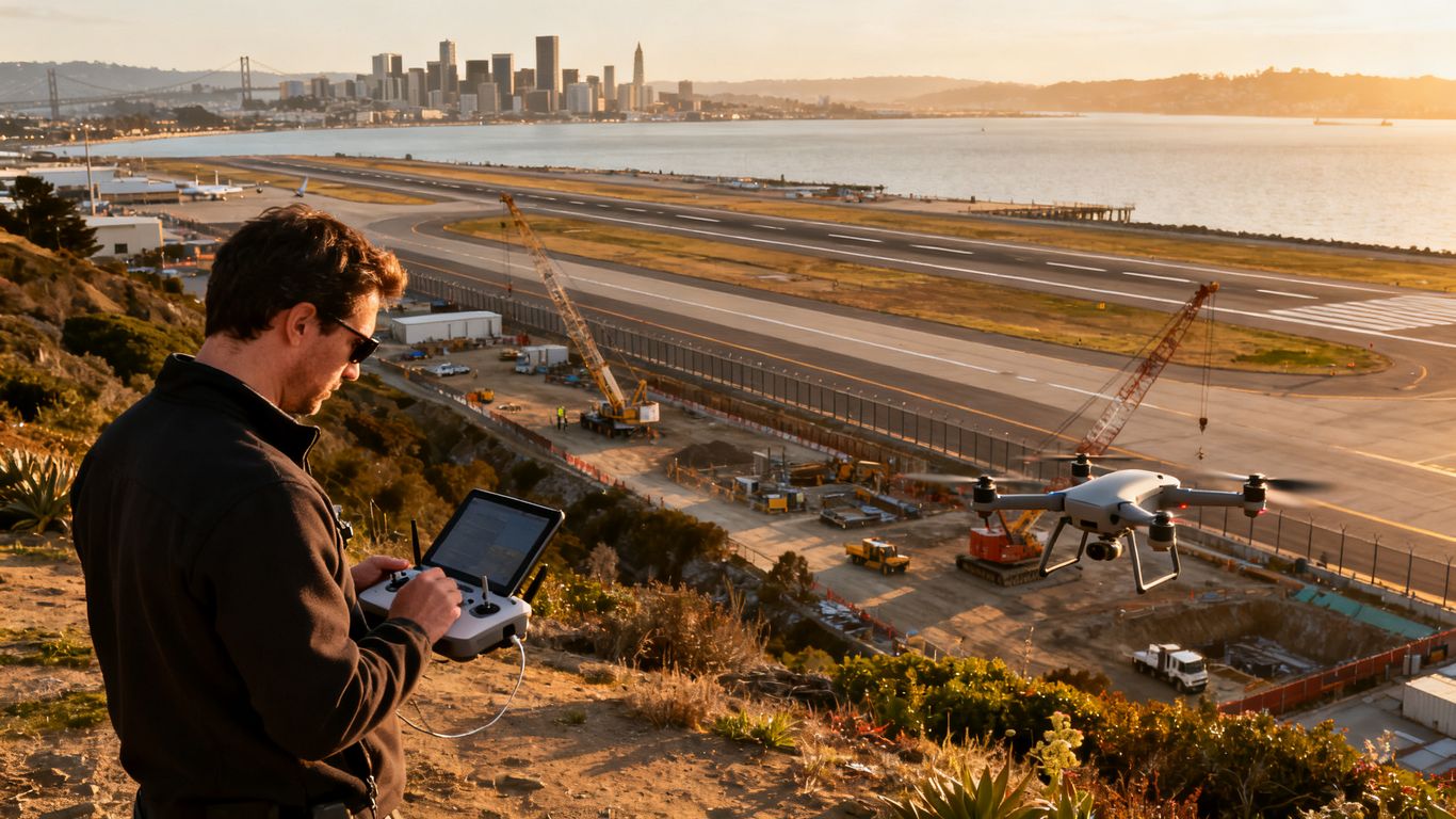
The remote pilot must maintain the level of visual awareness required by the applicable operating rules. Buildings, cranes, trees, glare, and distance can make a flight harder to monitor than it appeared on the map. Establish who is watching the aircraft, how the crew will communicate, and where the pilot can safely move if the aircraft needs to land quickly. Do not let the data-collection goal pressure the crew into losing situational awareness.
Avoiding runways, taxiways, and airport traffic
An authorization does not mean the aircraft may approach a runway, taxiway, or manned aircraft. Keep the drone clear of airport movement areas and remain alert for helicopters, airplanes, emergency activity, and changing instructions. A safe plan includes an immediate landing or hold procedure if traffic appears. The pilot should also monitor current notices and conditions before and during the operation.
Coordinating with people, property owners, and local authorities
Confirm access to the launch site and explain the work to people who may be affected. Keep bystanders outside the operating area where required, protect privacy, and avoid obstructing roads or emergency routes. For a construction project, the site superintendent can help identify cranes, deliveries, exclusion zones, and changing hazards. Clear coordination makes the approved flight more practical without treating local cooperation as a substitute for FAA authorization.
Handling flights that need more than automated LAANC approval
Not every proposed operation fits the automated pathway. A request may be limited by altitude, location, timing, or the data available for the selected area. When that happens, do not try to force the mission into a smaller description if the real flight will be larger. Rework the operation honestly or begin the appropriate further-coordination process.
When to request further coordination
Further coordination may be appropriate when the requested operation exceeds the automated altitude, falls in an area that cannot be approved automatically, or involves unusual timing or proximity concerns. Start early, since a complex request may require additional review and communication. Keep the mission description consistent across the request, risk assessment, client plan, and site briefing.
What to do if LAANC denies or limits the request
A denial or lower altitude is a signal to pause, not an invitation to launch anyway. Check whether the location pin, polygon, date, time, or altitude was entered incorrectly. If the information is correct, consider changing the launch point, reducing the area, selecting another time, or pursuing the required FAA process. Record the decision so the crew does not accidentally work from an outdated authorization.
Planning operations outside standard authorization parameters
Operations outside routine LAANC parameters require a separate compliance plan and, where applicable, FAA approval or a waiver. The process can involve more detailed operating procedures, risk controls, equipment information, and coordination. Keep the proposed flight grounded in what the crew can actually perform safely. A technically possible route is not automatically a suitable route for a live airport environment.
Allowing extra time for complex or commercial flights
Commercial work often has a fixed client schedule, but urgency does not shorten an aviation review. Build time into the project for airspace research, coordination, weather changes, site access, and a backup date. Teams can also review drone service guides when evaluating how aerial data capture, inspections, or modeling may fit a broader project workflow. The flight plan should be ready before the crew and equipment arrive.
Staying compliant during and after the flight
Compliance continues from the first map check through the final landing and record review. Keep the authorization accessible, follow the operating rules that apply to the pilot, and document deviations while they are fresh. These habits are especially useful when several people share responsibility for a project flight.
Carrying proof of LAANC authorization
Keep a digital or printed copy of the authorization available to the remote pilot. The crew should know the approved operating area, altitude, date, and time rather than relying on someone in the office to interpret them. If the provider displays conditions or an authorization number, preserve that information with the project records. Easy access supports a calm response if a site representative or authority asks about the flight.
Following Part 107 or recreational flying rules
Commercial operations generally follow 14 CFR Part 107, while recreational pilots must follow the applicable recreational framework and safety requirements. The pilot must understand which rules apply to the operation, including registration, remote identification where required, visual line-of-sight expectations, and restrictions on hazardous or careless conduct. LAANC approval does not replace those obligations.
Recording changes, cancellations, and flight details
A simple flight record can show what was planned, what changed, and what actually occurred. For a project team, capture the authorization, pilot, aircraft, launch point, time, weather, incidents, and any cancellation or relocation. Useful records include:
- The approved altitude, area, date, and operating window.
- The actual launch and landing locations.
- Weather, aircraft, crew, and unusual traffic observations.
- Any delay, cancellation, route change, or new authorization.
These notes help reconcile the flight with project deliverables and make later planning more reliable. They also prevent a team from reusing an approval after the underlying operation has changed.
Understanding penalties for unauthorized airport-area operations
Flying without required authorization can create safety risks and expose the operator to FAA enforcement or other consequences. The seriousness of the situation can depend on the conduct, location, and applicable rules. Do not assume that a small aircraft, short flight, or good intention removes the requirement. If there is uncertainty, pause the operation and verify the current requirements through authoritative sources.
Conclusion
A legal drone flight near Oakland Airport begins with precise location research and continues through accurate LAANC submission, conservative site planning, and careful recordkeeping. For teams that need project information, Aeroskape can help with aerial imaging and drone-based construction site monitoring while the responsible operator handles airspace compliance. When the work is ready to scope, contact Aeroskape to discuss an appropriate aerial data service.
Frequently Asked Questions
Do all drone flights near Oakland Airport need LAANC authorization?
Many flights in controlled airspace near an airport require authorization, but the answer depends on the exact location and applicable airspace rules. Check the current FAA map and an approved LAANC provider before flying.
How far from Oakland Airport can a drone fly without approval?
There is no reliable distance rule that applies to every location. Airspace boundaries and restrictions do not simply follow a fixed-radius circle, so review the exact launch and operating area.
Does LAANC approval allow a drone to fly anywhere in the approved zone?
No. The approval applies only to the stated conditions, including the authorized area, altitude, date, and time. The pilot must also follow all other aviation and local requirements.
How high can a drone fly after receiving LAANC authorization?
The authorized altitude depends on the location and request. The pilot must stay at or below the altitude specified in the approval and must not treat a facility-map value as automatic permission.
What should a pilot do if the LAANC request is denied?
Review the location, polygon, date, time, and altitude for errors. If the request is accurate, revise the mission or pursue the appropriate further-coordination process instead of flying without approval.
Does LAANC replace permission from a property owner?
No. LAANC addresses airspace authorization. Permission to access or use private property, public land, a construction site, or another launch location may still be required.
What records should be kept after an Oakland drone flight?
Keep the authorization, flight date and time, pilot and aircraft information, launch and landing locations, weather notes, and any changes, incidents, or cancellations connected with the operation.