About Us.
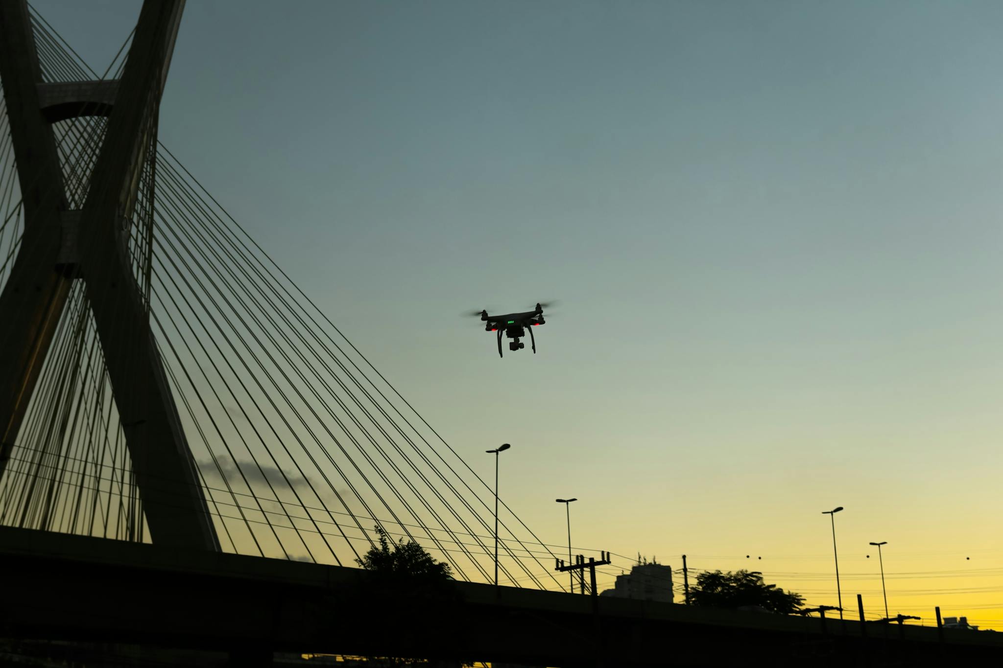
At Aeroskape, we leverage advanced aerial imaging to enhance project efficiency and coordination.
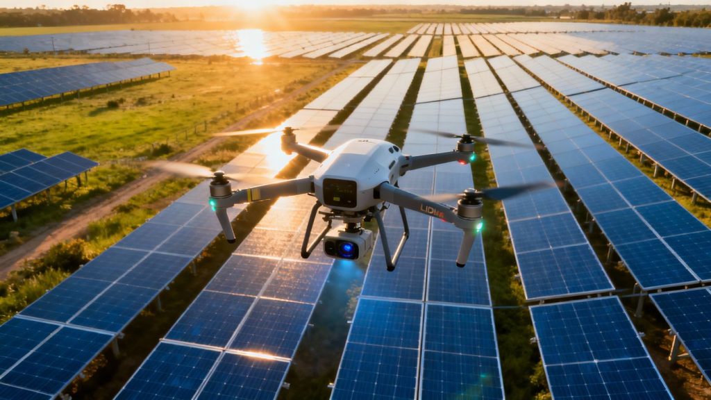
As a leading drone service provider, we deliver high-resolution aerial data capture and visual analysis for planning and documentation purposes.
Aeroskape: Top Aerial data capture Company for High-Resolution Visual Results.
Aeroskape specializes in aerial data capture and visual documentation using advanced drone technology.
We support construction and infrastructure teams with informational imagery and visual insights that enhance planning, coordination, and communication.
Aeroskape does not provide Professional Land Surveying services or certified visual estimate deliverables.
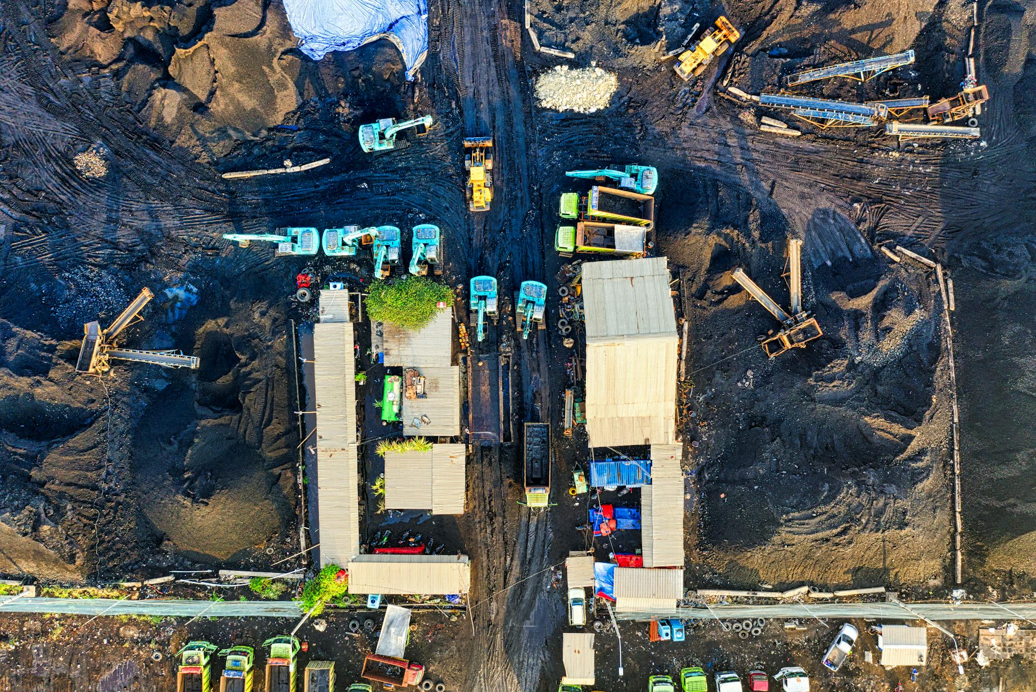
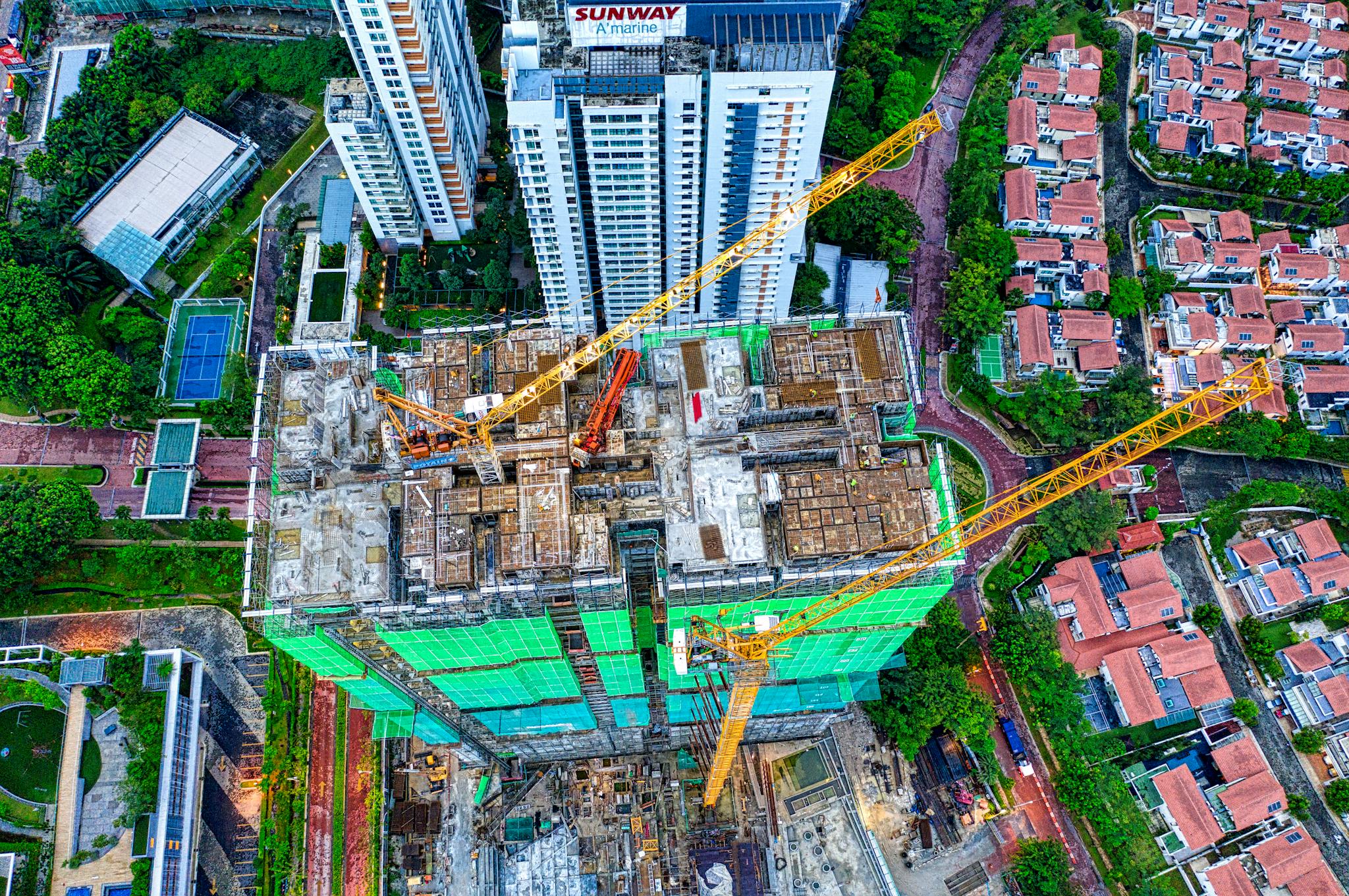
Aeroskape specializes in drone inspections, revolutionizing construction management.
Our advanced drone technology provides real-time monitoring, and high-resolution visual documentation for project reporting and planning purposes.
By leveraging 3D aerial modeling from imagery and digital twin visualizations, we enhance project efficiency and safety.
With expertise in the construction sector, Aeroskape offers tailored solutions to industry challenges, ensuring reliable visual insights and high-quality service.
Led by CEO William Brown, a retired U.S. Air Force veteran, our team is dedicated to delivering exceptional results and fostering innovation in construction management.

Aeroskape’s Vision: Top Drone Service in Northern California
Our vision is to establish Aeroskape as the premier drone services provider for both individual and corporate clients in Northern California.
We aspire to embody values of integrity, service, excellence, and teamwork.
Unlock the Potential of Aerial Imaging Services.
Read our latest blog posts to discover essential strategies for integrating drone construction site monitoring. Learn how to save costs, boost operational efficiency, and enhance safety. This guide is a must-read for construction professionals looking to stay ahead.
Certifications.


Our Unique Selling Points:
William Brown, CEO
I’m William Brown, the Owner, Principal, and Lead Pilot of Aeroskape — a data-driven aerial solutions company serving the construction industry.

William Brown
chief executive officer
With over 20 years of aviation experience, 21 years of service in the United States Air Force, and more than 5 years of expertise in drone operations, I’m committed to transforming how construction teams capture and use aerial data and visual documentation to reduce delays, mitigate risks, and drive project efficiency.
My passion for aviation and dedication to problem-solving in the built environment inspired me to launch Aeroskape in 2021.
As a certified drone operator with a Private Pilot License and FAA Part 107 certification, I specialize in thermal imaging, photogrammetry, and progress monitoring—turning aerial data into actionable visual insights for planning and documentation purposes.
I work directly with construction stakeholders, including licensed professionals, engineers, and virtual design and construction (VDC) teams, to ensure our aerial data integrates seamlessly with existing workflows and project management software.
This collaborative approach enhances safety planning, minimizes rework, and supports smarter decision-making across the project lifecycle.
My educational foundation includes associate degrees in Aviation Maintenance Technology and Customer Service from the Community College of the Air Force, a B.S. in Professional Aeronautics from Embry-Riddle Aeronautical University, and a Master’s Degree in Business with a focus on Project Management.
At Aeroskape, our mission is to make high-quality aerial data accessible, reliable, and impactful for every stage of construction.
Whether it’s monitoring earthwork, detecting thermal anomalies, or supporting pre-construction planning, I’m here to help teams unlock the full potential of aerial technology and deliver better outcomes, faster.
Explore the Benefits of Our Advanced Aerial Data Capture Company.
Aeroskape is dedicated to enhancing the quality and efficiency of construction projects in Northern California, through professional aerial imaging services.
Our mission is to deliver professional and reliable drone services, including aerial inspection, and aerial thermal data collection, to enable organizations and individuals to monitor their facilities effectively.
We specialize in the construction industry and aim to position our business as a leading drone service provider in Northern California.
We plan to expand throughout California and eventually across the nation.
We strive to be among the top 10 drone service providers in the United States within the first ten years of operation.


Contact Us.
We offer Aerial Imaging, Construction Site Monitoring, Structural Inspection Services, and more across the following locations:
Fremont, Fresno, Gilroy, Modesto, Monterey, Morgan Hill, Oakland, Sacramento, Salinas, San Francisco, San Jose, Santa Cruz, Stockton, Watsonville, Santa Clara County, Northern California, Slot777 and the surrounding areas.
Disclaimer:
Aeroskape, LLC does not provide Professional Land Surveying services. Aeroskape’s services do not include the determination of property boundaries, contours, monuments, or the authoritative position of land or fixed objects as defined under California Business & Professions Code §8726. All deliverables are provided for planning, visualization, documentation, and informational purposes only. When survey-grade or legal deliverables are required, clients should consult a licensed Professional Land Surveyor (PLS).