Drone mapping for agricultural facilities Fresno: A practical guide to planning, data, and results
Key Takeaways
Good drone mapping starts with a clear question, not simply a flight over the property.
- Define whether the project is about crops, facilities, infrastructure, or a combination.
- Match sensors, positioning, and deliverables to the accuracy the decision requires.
- Plan around Fresno weather, irrigation, workers, vehicles, and nearby airspace restrictions.
- Treat ground control, image overlap, and quality checks as part of the mapping work.
- Compare providers by usable data, safety practices, and operational value—not flight time alone.
Understanding drone mapping for agricultural facilities in Fresno
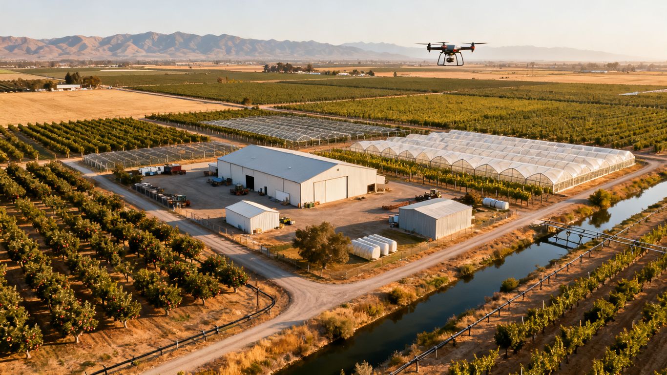
Drone mapping can give farm operators a consistent view of land, buildings, access routes, and working areas. For anyone researching drone mapping for agricultural facilities fresno, the central question is how aerial information will support a real decision. A useful project connects the flight plan to an operational need, then delivers data that people can inspect and apply. The result may be a map, a model, an inspection record, or a repeatable baseline for future comparisons.
What drone mapping can reveal across farms and facilities
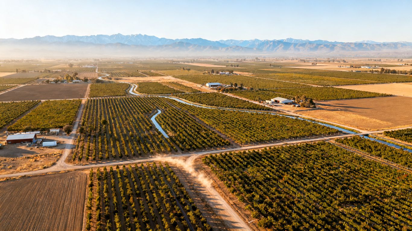
A well-planned flight can document field boundaries, crop blocks, bare areas, drainage patterns, roof surfaces, roads, ponds, and equipment yards. High-resolution imagery may reveal differences that are difficult to understand from a single ground visit, while a 3D output can help teams view slopes, stockpiles, or building relationships. The images do not diagnose every cause by themselves, so unusual patterns still need field verification and agricultural judgment.
The value is often in creating a shared visual reference. A manager, agronomist, maintenance lead, and contractor can review the same mapped area rather than relying on separate notes or scattered photographs.
Common agricultural sites that benefit from aerial mapping
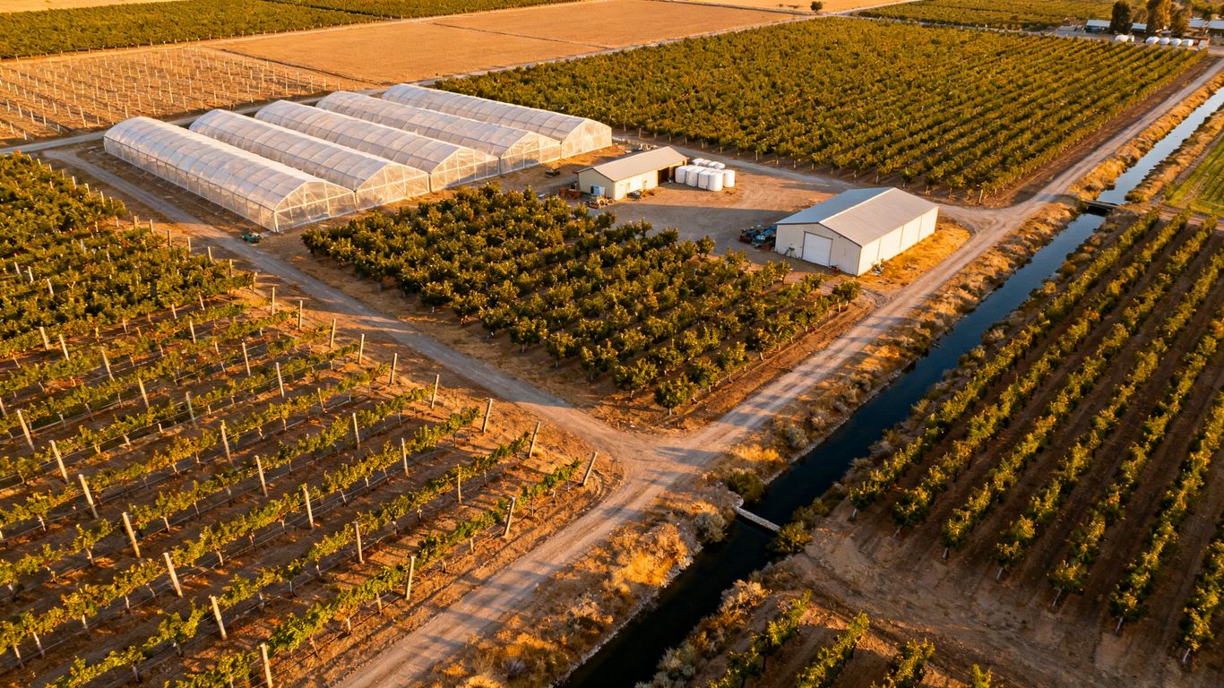
Orchards, vineyards, row-crop fields, greenhouses, packing areas, cold-storage buildings, barns, reservoirs, irrigation corridors, and farm roads can all be mapped when the scope is defined carefully. Facilities with large roofs or hard-to-reach structures may also benefit from an aerial visual record. The most useful boundary is usually operational rather than purely geographic: include the places that affect the decision being made.
For a vineyard, that might mean vine rows, headlands, access lanes, and drainage transitions. For a packing operation, it could include roofs, loading areas, parking, stormwater paths, and the route between the facility and fields. A vineyard mapping guide offers a related example of using consistent, question-driven imagery to examine rows, terrain, and variations.
How Fresno’s climate and terrain affect mapping projects
Fresno-area agricultural work is shaped by hot, dry periods, bright sunlight, dust, irrigation cycles, and seasonal changes in vegetation. Heat can affect batteries and scheduling, while wind can reduce image sharpness or make a flight unsuitable. Sun angle also matters: shadows from trees, structures, and trellises can obscure surfaces or make comparisons between dates less reliable.
Terrain may look generally level while still containing subtle grades that influence water movement. Mapping should therefore account for canals, drains, berms, orchard rows, and low points rather than treating the property as a blank rectangle. Repeat projects should use comparable timing and collection settings whenever possible.
Drone mapping compared with satellite imagery and ground surveys
Satellite imagery is useful for broad regional context and recurring observation, but it may not provide the detail or timing needed for a particular facility. Ground surveys offer close inspection and measurements at selected points, yet they can be slower across large or difficult-to-access areas. Drone mapping sits between those approaches by collecting detailed, site-specific imagery on a planned schedule.
The methods can complement one another. A drone map may help identify where a ground team should investigate, while conventional professional surveying remains the appropriate path for legally defined boundary or land-surveying work. For Central Valley projects, this aerial mapping planning guide also discusses matching technology and accuracy requirements to the project rather than assuming one method fits every site.
Defining your mapping goals and project requirements
Before anyone selects a drone, write down the decision the data must support. The same property can require different collection methods for crop review, roof inspection, drainage analysis, or construction planning. Clear requirements reduce rework and help a provider explain what the final files will and will not show. They also make quotes easier to compare.
Choosing between crop, facility, and infrastructure mapping
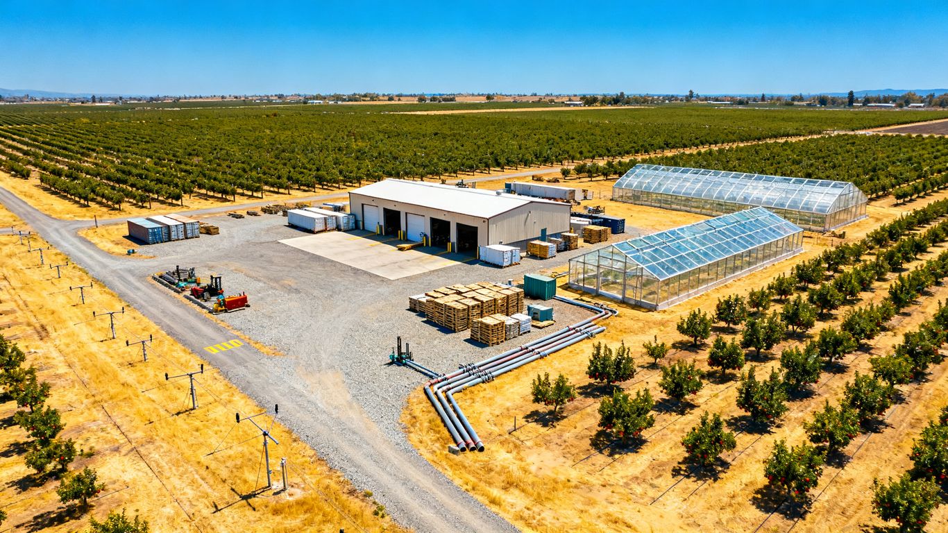
Crop mapping focuses on the condition and arrangement of planted areas, while facility mapping focuses on buildings, roofs, yards, and operational surfaces. Infrastructure mapping may cover roads, irrigation lines, canals, drainage features, utilities, or graded areas. A single mission can include more than one category, but each objective should be stated separately so the flight and processing choices remain understandable.
A practical scope might ask for an orthomosaic of the full property, detailed imagery of a packing-house roof, and elevation information along a drainage route. Separating those outputs prevents a broad field map from being mistaken for a close inspection of a structure.
Selecting the right level of accuracy and detail
Accuracy should be tied to the decision, not advertised as a generic number. Ask whether the team needs visual context, reliable relative measurements, elevation information, or data suitable for a more formal engineering workflow. Ground control, real-time positioning, sensor choice, terrain, vegetation, and processing all affect the result.
A project that only needs a current visual record may not need the same preparation as one comparing grades or calculating quantities. The provider should explain the expected accuracy, how it will be checked, and any limitations created by crops, shadows, reflective roofs, or inaccessible areas.
Identifying boundaries, access points, and no-fly concerns
Mark the project boundary before the flight, including adjacent parcels, roads, homes, worker areas, and airstrips that may affect operations. Identify launch and recovery areas, gates, overhead lines, irrigation equipment, tall trees, and places where the aircraft cannot safely operate. A site walk or pre-flight call often reveals constraints that are invisible on a general map.
It is also useful to name the people who can authorize access and pause farm operations. Written permission, property-owner coordination, and a clear contact on the ground reduce confusion when the site is busy or conditions change.
Establishing deliverables, timelines, and success metrics
A deliverables list should identify file types, coverage, coordinate reference information, image resolution, reporting needs, and revision expectations. It should also say how the files will be delivered and who is responsible for reviewing them. Success might mean documenting every roof surface, comparing drainage before and after work, or giving a manager a repeatable map before a planting decision.
Useful project questions include:
- Which areas must be included, and which can be excluded?
- What decision will the data support?
- What accuracy, resolution, and file formats are required?
- When must the first usable deliverable be available?
Those answers turn a general request into a workable scope. They also give the pilot and processing team a basis for deciding whether a reshoot or additional control is needed.
Planning a drone mapping mission
Mission planning is where operational detail becomes part of data quality. The aircraft, camera, route, altitude, timing, and crew procedures should be selected together. Agricultural properties often combine open fields with structures, trees, moving equipment, and uneven access, so a single automatic grid may not cover every need. A careful plan is usually safer and more useful than a rushed flight.
Selecting the right drone, camera, and sensors
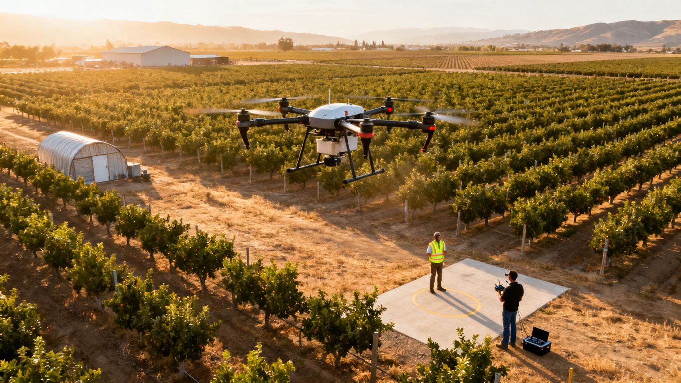
An RGB camera may be appropriate for visual documentation and photogrammetry, while other sensors can be considered when the question involves heat, vegetation differences, or terrain beneath obstructing cover. The choice depends on the requested output and the conditions at the site. Sensor selection should not be based on novelty; it should be connected to a defined agricultural or facility question.
Aircraft endurance, wind tolerance, obstacle awareness, storage capacity, and launch logistics matter too. A compact platform may work well for a small roof or contained facility, while a larger property may require multiple batteries, carefully planned segments, or more than one launch position.
Creating flight paths for fields, buildings, and equipment
Open fields are often suited to a systematic grid with consistent altitude and image overlap. Buildings, tanks, silos, and other vertical features may require additional passes or different camera angles so their sides and roofs are documented clearly. Narrow corridors such as irrigation routes or farm roads may call for a separate flight plan rather than being treated as a small part of a broad grid.
The plan should define the area of interest, turning space, takeoff and landing locations, and contingency options. It should also account for trees, wires, poles, and structures that can interrupt a simple automated route.
Accounting for weather, lighting, dust, and irrigation
Weather checks should cover wind, heat, visibility, and the chance of changing conditions during the mission. Strong contrast can affect image matching, and dust can reduce clarity or settle on equipment. Irrigation may create reflective water surfaces, muddy access, or temporary conditions that differ from the normal state of the property.
Timing should reflect the purpose of the map. A drainage review may benefit from conditions after irrigation or rain, while a repeat crop comparison may need similar lighting and growth stages on each date. The final report should record conditions so later users understand what the imagery represents.
Coordinating flights around workers, vehicles, and farm operations
A safe mission needs a simple site-control plan. Notify workers, establish a launch area, keep people clear of the operating zone, and coordinate with drivers, tractors, irrigation crews, and maintenance teams. Livestock, active loading areas, and chemical-application work may require a different flight time or a postponed mission.
The pilot should have a clear way to communicate with the site contact and stop operations when conditions change. This coordination protects people and equipment while also reducing the chance that a moving vehicle or worker interrupts a planned image sequence.
Capturing accurate aerial data
Accurate mapping depends on more than a capable aircraft. The team must create images that overlap consistently, contain enough visual detail, and can be positioned and checked against known information. Vegetation, water, dust, reflective materials, and repetitive crop rows can all complicate processing. Field notes are part of the dataset because they explain how and when the imagery was captured.
Using ground control points and real-time positioning
Ground control points provide known locations that help tie the imagery to the site. Real-time positioning technologies can improve onboard location information and may reduce the amount of ground control needed, but the appropriate setup depends on the accuracy requirement and project conditions. A provider should explain whether control points, checkpoints, or both will be used.
Points need to be visible, distributed across the project, and placed where they will not be disturbed. Their locations and descriptions should be recorded rather than assumed from memory. This is a data-quality step, not merely an accessory to the flight.
Managing overlap, altitude, and image quality
Image overlap gives processing software enough shared detail to connect adjacent photographs. Altitude affects ground sampling distance, coverage, obstacle clearance, and the amount of detail captured. Too little overlap, motion blur, poor exposure, or inconsistent camera settings can create gaps and distortions even when the route appears complete.
A field check should confirm that images are sharp, coverage is complete, and important structures are visible before the crew leaves. If a section is weak, repeating it immediately is generally easier than discovering the problem during processing.
Documenting orchards, vineyards, greenhouses, and storage areas
Rows of trees and vines can create repetitive patterns that require consistent flight lines and careful processing. Greenhouses may produce glare and unusual reflections, while storage areas can contain tall stacks, vehicles, and shaded corners. Roofs, loading zones, and equipment yards may need oblique imagery in addition to a top-down map.
The collection plan should distinguish between a broad property overview and detailed documentation of particular assets. That distinction helps the final package remain readable instead of combining every image into one oversized output.
Avoiding common data collection errors
Small planning mistakes can undermine an otherwise promising mission. Common problems include an incomplete boundary, insufficient overlap, unrecorded control points, changing camera settings, and failure to check images in the field. Water, dense canopy, reflective roofs, and uniform surfaces can also create processing gaps.
A short pre-departure review is useful:
- Confirm the boundary, launch point, and site contact.
- Check batteries, storage, positioning, and sensor settings.
- Verify that control points or checkpoints are visible and documented.
- Review sample images for blur, glare, exposure, and complete coverage.
The goal is not to eliminate every uncertainty. It is to identify avoidable errors while the crew can still correct them.
Navigating regulations and operational safety
Commercial drone work requires more than permission from a landowner. The operator must follow applicable FAA requirements, evaluate the airspace, and manage the people and property around the flight. Agricultural facilities can be spread across rural land but still sit near roads, airports, homes, or active work areas. A professional plan makes those conditions visible before launch.
Understanding FAA requirements for commercial drone flights
Commercial operations generally fall under FAA rules for small unmanned aircraft, including requirements for pilot qualification, aircraft compliance, operating limitations, and required authorizations where applicable. The exact requirements depend on the mission and circumstances, so the operator should verify current rules rather than rely on an old checklist.
The client should be able to ask who is responsible for regulatory review, what documentation will be provided, and how the operation will be paused if the conditions no longer support a safe flight. Compliance is part of the service, not paperwork added after data collection.
Checking airspace restrictions around Fresno facilities
Airspace should be checked for each site and date. Nearby airports, heliports, controlled airspace, temporary restrictions, and local operating conditions may affect where and when a drone can fly. A rural appearance does not automatically mean unrestricted airspace.
The site address, planned altitude, operating area, and timing should be reviewed together. If the property is close to an airport or other sensitive location, build authorization and communication time into the schedule instead of treating them as last-minute obstacles.
Protecting workers, livestock, crops, and nearby property
Risk controls should cover people on the property as well as neighbors, vehicles, animals, structures, and crops. Establishing a launch zone, maintaining separation, using a visual observer when appropriate, and coordinating movement around the flight area are basic practical measures. The crew should also know where emergency landing options exist.
Agricultural operations may involve dust, irrigation spray, trellis wires, moving machinery, and uneven ground. These conditions deserve a site-specific plan. A safe mission may mean flying at a different time, narrowing the area, or postponing collection.
Handling privacy, permissions, and agricultural data security
Obtain permission for the property and clarify whether adjacent areas may appear in the imagery. Discuss who can access the files, how they will be transferred, how long they will be retained, and whether images include sensitive operations or private residences. Agricultural maps can reveal production patterns and facility layouts, so ordinary data-handling discipline matters.
Use controlled sharing and name files consistently. Keep the project boundary and distribution list clear, especially when consultants, contractors, farm managers, and owners all need different levels of access.
Turning drone imagery into useful agricultural insights
The flight is only the beginning of the workflow. Imagery must be processed, checked, organized, and explained in terms that match the user’s decision. A beautiful aerial view can still be unhelpful if it lacks location information, coverage notes, or a clear connection to field and facility priorities. The most useful deliverable is one that people can revisit without needing the pilot beside them.
Producing orthomosaics, 3D models, and elevation maps
An orthomosaic combines overlapping images into a corrected map-like view. Three-dimensional models can help users examine structures, terrain, and spatial relationships, while elevation products can support review of grades, low areas, and drainage paths. The appropriate output depends on the project’s question and the quality of the captured data.
Every deliverable should include enough context to be interpreted: date, coverage, coordinate information where applicable, known limitations, and any areas that were not captured. High-resolution orthomosaic mapping is one example of how detailed, geo-referenced imagery can support measurements and site decisions across different project types.
Detecting drainage, erosion, pooling, and grading issues
Aerial data can make patterns easier to see across long field edges, access roads, berms, and drainage features. Low spots, erosion scars, sediment movement, and standing water may become candidates for closer inspection. The map identifies where to look; it does not by itself establish the cause or prescribe a remedy.
Comparing dates can add useful context when the collection methods and conditions are reasonably consistent. A manager can then combine the mapped pattern with irrigation records, soil observations, weather, and field scouting before deciding what action is warranted.
Monitoring roofs, irrigation systems, roads, and structures
Repeatable imagery can create a visual record of roof surfaces, tanks, greenhouses, pump areas, roads, gates, and other assets. It may help maintenance teams prioritize closer inspection or document changes after a repair, storm, installation, or construction activity. Hard-to-reach locations can often be reviewed from a safer distance, subject to the limits of the equipment and site conditions.
For a Fresno project that includes construction or facility work, Fresno aerial project monitoring describes aerial imaging and drone services for high-resolution visuals and project insight. The relevant output still needs to be defined for the agricultural site rather than assumed from a general service description.
Connecting mapping data with GIS and farm management platforms
A map becomes more useful when it can be viewed alongside property boundaries, irrigation zones, field records, maintenance notes, or inspection findings. Ask what formats the provider can deliver and whether the files can be imported into the systems the farm already uses. Consistent naming, dates, coordinate information, and version control make repeat mapping much easier to manage.
The handoff should include a short explanation of what each file contains. That prevents a surface model, orthomosaic, or point cloud from being treated as interchangeable products and helps the operations team use the data appropriately.
Evaluating providers, costs, and return on investment
Choosing a provider is a decision about workflow as much as equipment. Two quotes can cover the same acreage while offering different levels of planning, accuracy, processing, review, and support. Ask how the provider will turn imagery into a dependable project record and how questions will be handled after delivery. The least expensive flight is not necessarily the least expensive project if the data must be recollected.
Comparing local Fresno drone mapping companies
Compare providers by their understanding of agricultural sites, ability to plan around active operations, and clarity about deliverables. Review sample outputs that resemble the intended project, not only attractive photographs. A strong conversation should cover boundaries, access, airspace, safety, control, processing, file formats, and the intended decision.
It is also reasonable to ask whether the provider can support a repeat schedule. Consistency between flights may matter more than a one-time image, especially when the goal is to monitor drainage, facility changes, crop blocks, or maintenance conditions.
Reviewing licenses, insurance, equipment, and experience
Confirm the pilot’s applicable FAA credentials, insurance coverage, aircraft and sensor suitability, and experience with similar sites. Ask who performs quality review and whether the provider documents weather, coverage, control, and limitations. The point is not to collect impressive specifications; it is to establish that the team can operate safely and deliver interpretable data.
A provider should also be direct about what it does not provide. Drone imagery can support planning and inspection workflows, but it should not be presented as a substitute for professional land surveying where that service is legally required.
Understanding pricing factors and project-based costs
Price can depend on area, travel, access, terrain, vegetation, sensor choice, accuracy, control, processing, inspections, reporting, revisions, and turnaround. Minimum project fees may apply even when the mapped acreage is small because planning and mobilization still take time. A California drone survey cost guide offers a useful framework for comparing scope, deliverables, accuracy, and processing rather than looking only at acreage.
A clear quote should separate field collection from processing and identify optional outputs. It should also state whether a second visit, extra control, or revised deliverable would create an additional charge.
Measuring savings, risk reduction, and operational improvements
Return on investment may come from avoiding unnecessary field visits, finding a drainage concern earlier, prioritizing maintenance, documenting a condition before work, or improving coordination between farm and facility teams. Track the baseline: travel time, inspection duration, delayed decisions, rework, material movement, or incidents that the new process is intended to affect.
A simple review after delivery can ask whether the map answered the original question, whether anyone had to recreate missing information, and whether the findings changed a decision. Over several projects, those observations provide a more honest measure of value than a claim based only on the number of acres photographed.
Conclusion
Successful drone mapping for agricultural facilities in Fresno is a planned information workflow: define the question, coordinate a safe mission, capture dependable imagery, and deliver files that support a real operational decision. When accuracy, limitations, and follow-up responsibilities are clear, aerial data can complement field expertise without pretending to replace it.
Frequently Asked Questions
What is drone mapping for agricultural facilities?
It is the planned collection and processing of aerial imagery or sensor data over agricultural land, buildings, infrastructure, and related facilities to create maps, models, records, or measurements for a defined purpose.
What can an agricultural drone map show?
Depending on the equipment and mission, it may show field boundaries, crop-block patterns, roofs, roads, drainage features, structures, equipment areas, elevation changes, and other visible site conditions.
How accurate is drone mapping?
Accuracy varies with the aircraft, sensor, positioning method, ground control, flight design, terrain, vegetation, processing, and quality checks. The required accuracy should be established before collection.
When should a Fresno agricultural site be mapped?
The best timing depends on the question. Repeat comparisons benefit from similar conditions, while drainage or irrigation investigations may require imagery during or after a specific event.
Can drones map roofs and farm structures?
Yes, a mission can be designed for roofs, greenhouses, barns, packing facilities, tanks, and other structures. Vertical surfaces and obstructed areas may require additional flight paths or camera angles.
Do commercial agricultural drone flights require FAA compliance?
Commercial operations must follow applicable FAA requirements and may need airspace authorization or other operational steps. The operator should review the current requirements for the specific site and mission.
Can a drone map replace a professional land survey?
No. Drone mapping can provide valuable visual, spatial, and elevation information, but it should not be treated as a substitute for legally defined professional land-surveying services when those are required.