Landfill volume survey drone California: A practical guide to accurate aerial measurements
Key Takeaways
A reliable landfill volume survey turns aerial capture into measurements that operators can use for capacity, planning, and documentation.
- Define the survey boundary, reference system, and required accuracy before flying.
- Choose photogrammetry, LiDAR, or a combination based on terrain and site conditions.
- Plan every flight around FAA rules, site hazards, active equipment, and personnel.
- Use repeatable processing and comparison methods so volume changes remain meaningful.
- Treat aerial outputs as decision-support data and consult a licensed Professional Land Surveyor when certified or legal surveying deliverables are required.
Understanding landfill volume surveys in California
A landfill volume survey measures the shape and extent of material across a site at a particular point in time. The results can support estimates of waste volume, cover material, stockpiles, remaining airspace, and changes since an earlier survey. For California operators, the value is not simply a colorful map; it is a consistent record that can inform operations, reporting, and long-range capacity decisions.
What a landfill volume survey measures
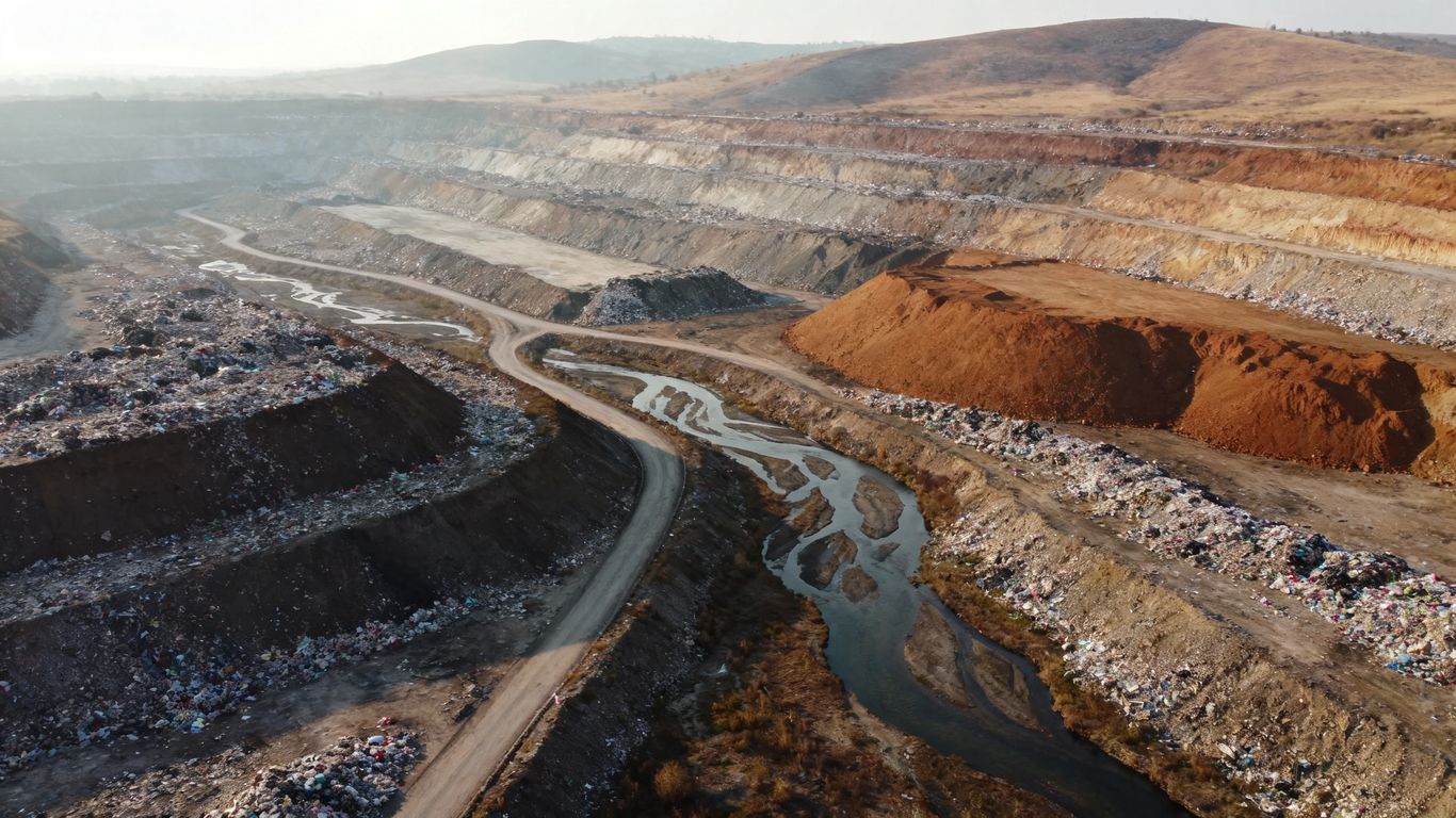
A survey typically captures the ground or waste surface, breaklines, slopes, roads, berms, working faces, and material piles within a defined boundary. Processing converts that information into a map, point cloud, surface model, or three-dimensional model from which areas and volumes can be calculated. The reference surface matters: a waste volume above a previous terrain model answers a different question from the amount of cover material in a temporary stockpile.
Before the flight, agree on the units, coordinate system, vertical datum, boundary, and intended comparison. That small amount of preparation prevents a polished deliverable from answering the wrong operational question. It also gives later surveys a repeatable baseline.
Why aerial data improves stockpile and airspace calculations
Walking a landfill surface with conventional equipment can expose people to unstable slopes, heavy machinery, and difficult access. Aerial capture gathers dense observations across broad areas without requiring a crew member to stand on every pile or waste face. With a suitable reference surface and clearly documented assumptions, the resulting model can make stockpile and airspace calculations easier to repeat.
The key is consistency rather than apparent precision alone. The same boundary, flight logic, processing settings, and quality checks should be used whenever possible. That makes a change in calculated volume more useful to an operator deciding whether a difference reflects actual site activity or simply a different method.
Common landfill areas that require surveying
The active working face is often the most obvious area, but it is rarely the only one that matters. Operators may also need current information for closed cells, intermediate cover, borrow areas, soil piles, access roads, drainage features, perimeter slopes, and areas being prepared for future development.
A survey boundary should include enough surrounding context to explain the measurement. A narrow capture around one pile may produce a number, but it can omit the toe, crest, access route, or adjacent surface needed to interpret that number safely. When the work supports environmental or engineering decisions, define those limits with the responsible project professionals.
How often sites should update volume data
There is no single interval that fits every landfill. A site receiving large quantities of waste or moving cover frequently may benefit from more frequent updates than a quiet closed cell. The practical interval depends on the rate of change, reporting obligations, weather, access, staffing, and the cost of acting on fresh information.
Many teams begin with a baseline survey and then choose a cadence tied to operational milestones. The useful question is not simply how often a drone can fly, but how often new measurements would change a decision about capacity, compaction, material movement, or site development.
Choosing the right drone survey method
The right method begins with the measurement question, not the aircraft. Photogrammetry can provide detailed visual coverage in favorable conditions, while LiDAR may be useful where terrain, vegetation, or surface texture makes image matching more difficult. A sound plan also considers positioning, control, processing, safety, and the level of accuracy the final decision actually requires.
Photogrammetry versus LiDAR for landfill mapping
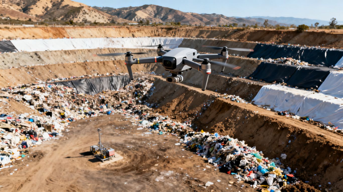
Photogrammetry reconstructs surfaces from overlapping photographs and can produce orthomosaics and three-dimensional models with strong visual detail. LiDAR records distance measurements that can describe terrain and surface form with less dependence on visible texture. Neither method is automatically better for every landfill; the choice depends on vegetation, dust, lighting, slope geometry, required density, and the desired deliverables.
A combined approach can be appropriate when imagery is valuable for interpretation and LiDAR adds useful surface information. Aeroskape describes its Aerial LiDAR service as producing dense point clouds for site analysis and visualization, while noting that clients needing certified or survey-grade deliverables should engage a Professional Land Surveyor. That distinction should remain clear in the project brief.
Selecting drones, cameras, and positioning systems
The aircraft and payload should match the footprint, terrain, wind, takeoff options, and required ground resolution. A high-resolution camera may be sufficient for an open, textured stockpile, while LiDAR can be considered for more complex surfaces. RTK or PPK positioning can improve the consistency of image locations, but it does not remove the need for quality checks or automatically make an output a legal survey.
Also review battery planning, spare equipment, calibration records, data storage, and the operator’s ability to work around a live landfill. The best specification is the one that can be flown safely and repeated reliably, not the one with the longest list of technical features.
Balancing accuracy, coverage, and project cost
Accuracy has a cost in planning, control, flight time, processing, and review. A small area requiring close inspection may justify a denser capture, while a broad operational overview may call for an efficient flight with a level of detail suited to trend monitoring. Establish tolerances before the proposal is written so the provider can price the actual need rather than an undefined idea of “survey grade.”
A useful comparison looks beyond the flight fee. Include mobilization, access coordination, control points, processing, revisions, file formats, storage, and the time your own staff will spend reviewing the result. A lower initial price may not be economical if the deliverable cannot fit the existing workflow.
When ground control points are necessary
Ground control points can strengthen the relationship between the model and known positions, especially across a large site, uneven terrain, or a project where independent verification is important. Check points, which are not used to build the model, can provide a separate quality check. Their value depends on placement, visibility, accurate coordinates, and a documented method of measurement.
They may be less necessary for some relative comparisons when the aircraft positioning and workflow are consistent, but that decision should be made against the project tolerance. If the result will support a boundary, legal description, or certified survey, involve the appropriate licensed Professional Land Surveyor rather than treating drone control as a substitute.
Planning a compliant California drone survey
A compliant flight plan joins aviation requirements with the realities of an active industrial site. The operator must understand the airspace and operating limitations, while the landfill team must define access, hazards, communications, emergency procedures, and areas that cannot be overflown. Good planning protects people and also protects the usefulness of the data.
FAA requirements for commercial drone operations
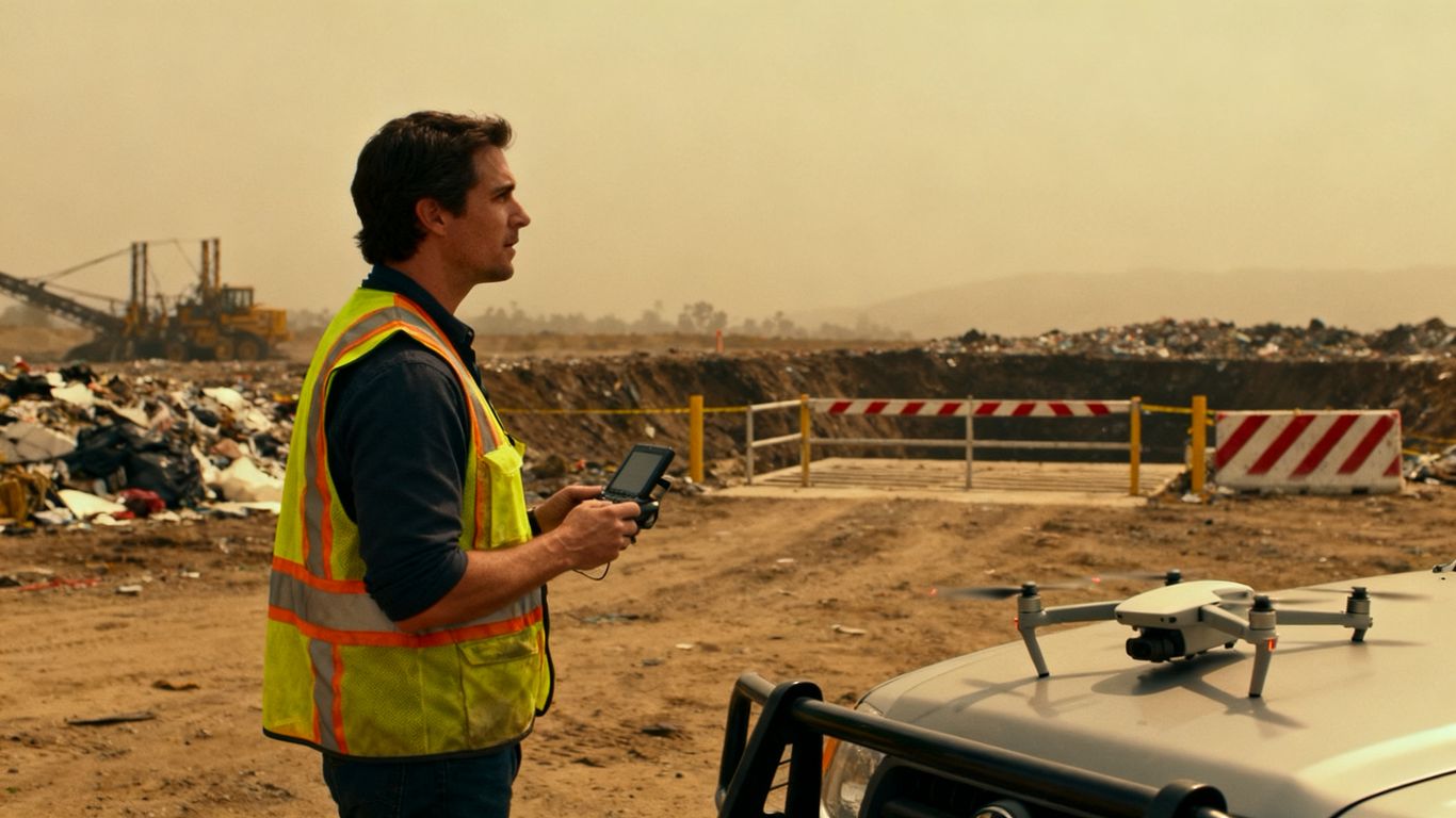
Commercial drone work in the United States generally requires an appropriately certificated remote pilot and operation under the applicable Federal Aviation Administration rules, including Part 107 unless an alternative authorization applies. The pilot should review airspace, aircraft registration, weather, operating limitations, remote identification requirements, and any needed waivers or authorizations before arriving on site.
The client should ask who is responsible for the aviation review and how changes will be handled if weather, equipment, or site activity disrupts the original plan. Documentation of the flight and any restrictions is part of a professional workflow, not paperwork to be reconstructed afterward.
California site access and safety considerations
Landfills can include steep grades, soft ground, exposed waste, gas infrastructure, leachate systems, moving vehicles, and restricted areas. A flight plan should be coordinated with the site’s safety program and access rules before the crew begins work. The launch and recovery area needs to be stable, controlled, and clear of people and equipment.
Site orientation is especially valuable for crews visiting a facility for the first time. It can identify radio channels, muster points, traffic patterns, exclusion zones, and conditions that may not be visible from an aerial map. A legally permissible flight can still be unsafe if it ignores the ground operation.
Working around personnel, equipment, and active cells
Active cells change quickly. Trucks, dozers, compactors, cranes, and temporary crews can enter a planned flight area with little notice, so the pilot and site contact need a simple stop-work process. The flight should be paused when the agreed separation from people or equipment cannot be maintained.
Schedule coordination can reduce the conflict. Some flights may be safer during a controlled window, while others can be divided into smaller areas to avoid disrupting essential work. The goal is not to force the site into an ideal flight pattern; it is to gather defensible data without adding risk to daily operations.
Managing privacy, environmental, and permitting concerns
A landfill survey may capture neighboring property, roads, workers, vehicles, or infrastructure beyond the measurement boundary. Limit the collection area where practical, secure the files, and establish who may access the imagery and derived models. If the site includes sensitive environmental features or regulated infrastructure, confirm whether additional permissions or coordination are needed.
The project brief should also describe retention, sharing, and deletion expectations. Where aerial data will inform environmental documentation or engineering decisions, keep the source files, processing notes, coordinate information, and quality records together so the result can be understood later.
Capturing accurate landfill data in the field
Field quality is determined before the first photograph is taken. A well-designed flight reduces gaps, keeps the camera geometry appropriate, and creates a record of conditions that may affect the model. The crew should leave the site with more than imagery: it should have enough notes and checks to explain how the imagery became a measurement.
Establishing the survey boundary and flight plan
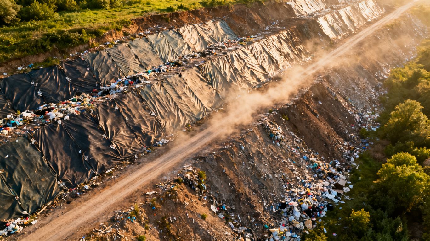
Start with a boundary that reflects the decision the survey must support. Include the surrounding terrain needed for a volume base, and identify no-fly areas, launch points, emergency landing options, and transition zones between surfaces. The planned altitude, overlap, speed, and camera angle should be selected for the required ground detail and terrain variability.
A preflight map and a short field briefing help align the pilot, site contact, and safety lead. Record the planned area, date, weather, equipment, control information, and any deviations. Those details make repeat surveys easier to compare and help explain unusual results.
Collecting overlapping aerial imagery
Photogrammetry depends on sufficient overlap and consistent image quality. The aircraft should move at a speed and height that allow the camera to collect sharp, useful frames across the whole boundary. Sun angle, shadows, reflective materials, dust, and sudden changes in elevation can all affect the quality of the reconstruction.
Before leaving, inspect the coverage rather than assuming the mission completed successfully. Look for missing strips, blurred images, gaps around steep faces, and areas hidden by equipment or terrain. A short additional flight is often less costly than discovering a critical omission during processing.
Measuring difficult areas such as slopes and waste faces
Steep slopes and near-vertical waste faces require deliberate geometry. A single overhead grid may not show the face clearly, especially where the top edge obscures the lower surface. Oblique imagery, additional flight lines, or a suitable LiDAR approach can help capture the shape, provided the method remains safe and within operating limits.
The survey boundary should extend beyond the visible crest and toe where possible. Without that context, a volume calculation may clip the feature or interpolate across an area that was never observed. Difficult surfaces deserve a specific capture plan rather than being treated as a minor variation of flat ground.
Avoiding errors caused by dust, vegetation, and changing conditions
Dust can reduce contrast and obscure surfaces, while vegetation may hide the ground beneath it. Wet material, changing waste placement, and moving equipment can also make a model look more complete than the underlying observations justify. Field notes should identify these conditions so the processing team can flag affected areas.
Use repeatable timing and methods when comparing surveys. If a later flight occurs after significant grading, rainfall, cover placement, or vegetation growth, the difference may be real but not directly comparable to a prior surface. Clear annotations prevent false precision.
Processing drone data into usable landfill measurements
Processing is where captured observations become a deliverable, and it deserves the same discipline as flight planning. The workflow should preserve the source data, document coordinate choices, check for gaps and artifacts, and distinguish measured areas from interpolated or excluded areas. The final files should be understandable to the people who will use them.
Building orthomosaic maps and 3D models
An orthomosaic combines corrected aerial images into a map-like view, while a three-dimensional model provides a more useful way to inspect slopes, piles, roads, and working faces. Processing software aligns images, reconstructs geometry, and applies positioning information or control. Review should focus on whether the model represents the site faithfully, not only on whether the software completed without an error.
Aeroskape’s 3D aerial modeling service describes high-resolution 3D maps and models from drone photogrammetry for planning, progress monitoring, and quality control. For a landfill project, the same type of visual output can help teams inspect surface conditions, provided the deliverable is matched to the intended use and is not presented as a certified land survey.
Creating digital elevation and surface models
A digital surface model may include waste, vegetation, structures, and equipment, while an elevation model may be intended to describe a particular terrain or ground surface. The distinction matters when calculating airspace or comparing a working face. Ask the provider to state what each model includes, how excluded areas were treated, and what vertical reference was used.
Quality review should examine edges, steep slopes, piles, water, vegetation, and areas with sparse observations. A visually smooth surface is not automatically a measured surface. Retaining a clear record of assumptions makes later revisions more efficient.
Calculating waste, cover, and stockpile volumes
Volume calculations compare a defined upper surface with a defined base or reference surface. The result depends on the boundary, breaklines, interpolation, coordinate system, and treatment of voids or inaccessible areas. Report those assumptions alongside the number instead of presenting volume as a context-free fact.
The following deliverables are often useful, depending on the decision being supported:
- A georeferenced orthomosaic for visual review and site context.
- A point cloud or three-dimensional model for inspecting surface form.
- A digital elevation or surface model with stated units and reference information.
- A volume report that identifies boundaries, bases, exclusions, and quality checks.
This package gives operations staff both a visual record and a measurement they can examine. It also makes it easier for an engineer or licensed survey professional to determine whether the data is suitable for a particular regulated or legal purpose.
Comparing current results with previous surveys
Multi-date comparison is most useful when the surveys share a stable reference framework. Use consistent boundaries, coordinate systems, vertical references, capture methods, and processing conventions where practical. If any of those change, document the change and avoid implying that every difference represents waste placement or removal.
A good comparison includes maps of change as well as summary quantities. Reviewers can then see whether a reported increase is concentrated in a working face, spread across a stockpile, or caused by a mismatch at the edge of the boundary. That context is often more valuable than a single net figure.
Applying survey results to landfill operations
Aerial measurements become operationally valuable when they are connected to a decision, schedule, or recordkeeping process. The same model may support capacity planning for one team, material tracking for another, and visual communication with owners or regulators. Its usefulness depends on clear assumptions, timely delivery, and a workflow people will actually follow.
Tracking remaining airspace and site capacity
Airspace estimates compare the current surface with an approved or planned design surface, subject to the assumptions and professional oversight appropriate to the project. Repeated measurements can show how quickly capacity is being consumed and whether the current placement pattern is consistent with expectations.
The result should be treated as a planning input, not an unsupported closure-date prediction. Changes in design, waste composition, cover, settlement, and operational practice can all affect capacity. Aerial data gives decision-makers a current surface; engineering judgment supplies the context.
Monitoring compaction and daily cover
Comparing surfaces over time can help teams investigate where material has settled, where cover has been placed, and where grading has changed the site. The model may reveal patterns that are difficult to see from ground level, especially across a broad working area. It does not replace required inspections or field verification, but it can help direct attention.
For meaningful monitoring, establish a consistent naming convention and survey schedule. Keep weather, active operations, and unusual site events with the dataset. Those notes can explain why two apparently similar surfaces do not compare cleanly.
Supporting billing, compliance, and progress reporting
Volume and area data can support internal quantity tracking, contractor discussions, progress updates, and documentation packages. The appropriate level of confidence depends on the use. A visual progress record and an estimate for internal planning are not automatically equivalent to a certified measurement for a contractual or legal purpose.
Define the intended audience before choosing the deliverables. A manager may need a simple dashboard or annotated map, while an engineer may need model files, metadata, and quality information. Clear labeling keeps decision-support imagery from being mistaken for a professional land survey.
Improving planning for excavation and cell development
Current surface information can help teams evaluate access routes, staging areas, grading concepts, drainage paths, and the relationship between existing conditions and a proposed cell. It can also make coordination easier when project participants cannot visit the site at the same time.
Aerial data should inform design discussions without silently replacing design responsibility. When a proposed change affects grades, boundaries, drainage, or regulated infrastructure, route the information to the qualified professionals responsible for those decisions.
Evaluating California drone survey providers
Choosing a provider is less about finding the most impressive aircraft and more about finding a workflow that fits the site. Ask how the team plans the flight, handles safety, verifies data, documents assumptions, and delivers files your staff can use. For California projects, also clarify the boundary between aerial data capture and professional land surveying services.
Questions to ask about experience and accuracy
Ask whether the provider has worked around active industrial operations, steep terrain, dust, restricted access, and changing surfaces. Request a plain-language explanation of the proposed accuracy, how it will be checked, and what conditions could reduce confidence. It is reasonable to ask for sample metadata, quality-control documentation, and an explanation of exclusions.
A provider should also be candid about limitations. A clear statement that a deliverable is for visualization or planning can be more valuable than a vague promise of precision. Aeroskape provides drone-based imaging and aerial data capture for construction and engineering projects, with an emphasis on organized information that supports project decisions.
Reviewing deliverables, turnaround times, and pricing
Compare proposals by the complete package rather than the flight alone. A useful proposal states the survey boundary, capture method, control approach, processing, file formats, review process, expected turnaround, revisions, and exclusions. It should also explain what happens if weather or site activity prevents a complete capture.
Price differences often reflect the amount of planning, processing, and quality review included. A quick, inexpensive image set may be appropriate for a visual update, while a repeatable volumetric workflow requires more structure. Match the deliverable to the decision and make that decision explicit in the scope.
Confirming data security and software compatibility
Landfill data may include operational layouts, neighboring property, infrastructure, and information that should not be broadly shared. Ask where files are stored, how they are transferred, who can access them, and how long they are retained. Confirm whether the provider can deliver common formats for your GIS, CAD, project management, or document-control systems.
It is also useful to request a small sample or confirm the review environment before the full project begins. Compatibility problems discovered after processing can delay decisions even when the underlying capture is sound. Organized naming and metadata are practical parts of data quality.
Identifying when repeat surveys or ongoing monitoring make sense
Repeat surveys make sense when the site changes quickly enough that current information affects capacity, material movement, safety planning, or reporting. They are less useful when no one has defined what action will follow a new measurement. Begin with a baseline, identify the decisions it supports, and choose a repeat interval that reflects the pace of change.
An ongoing arrangement can improve consistency because the same boundary, capture logic, and review process are easier to maintain. Still, every visit should be planned around current site conditions rather than treated as an automatic flight. A repeatable method is valuable only when it remains safe and relevant.
Make Better Site Decisions
If your team needs organized aerial information for landfill planning or related construction and engineering work, request a conversation with Aeroskape about the project scope, safety requirements, and appropriate deliverables.
Conclusion
A landfill volume survey drone California project succeeds when accurate capture, careful processing, and practical operational judgment work together. Define the question first, plan around the site, document the method, and keep certified surveying responsibilities with the appropriate licensed professional. Done that way, aerial data can give California landfill teams a clearer view of changing surfaces, available capacity, and the next decision in front of them.
Frequently Asked Questions
What is a landfill volume survey?
It is a measurement of the shape, area, and volume of selected landfill surfaces or materials within a defined boundary, usually captured at a particular date for comparison or planning.
Can drones measure remaining landfill airspace?
Drones can capture a current surface that may be compared with a planned or approved reference surface. The resulting estimate depends on the boundary, reference data, assumptions, and professional review appropriate to the project.
Is photogrammetry accurate enough for landfill work?
Photogrammetry can be suitable for many mapping and volume applications when imagery, control, processing, and quality checks are properly planned. The required accuracy should be established before the flight.
When is LiDAR useful at a landfill?
LiDAR can be useful where vegetation, limited surface texture, complex slopes, or lighting conditions make image-based reconstruction more difficult. The choice should reflect the terrain and intended deliverable.
How often should a landfill be surveyed by drone?
The interval depends on how quickly the site changes, the decisions being supported, reporting needs, weather, access, and available resources. A baseline followed by a decision-based schedule is a practical starting point.
Do ground control points always need to be used?
No. Their necessity depends on the project tolerance, positioning method, site size, terrain, and need for independent verification. They should be considered deliberately rather than included or omitted automatically.
Can drone data replace a licensed land survey?
No. Aerial imagery and models can support planning, visualization, and measurement workflows, but certified or legal surveying deliverables should be completed or reviewed by a licensed Professional Land Surveyor when required.