Aerial data capture for Sacramento infrastructure projects: A practical guide to planning, mapping, and delivery
Key Takeaways
Aerial data can give Sacramento infrastructure teams a clearer view of changing sites, but useful results depend on careful planning and defined deliverables.
- Define the project boundary, intended decisions, and required outputs before flight planning.
- Match photogrammetry, LiDAR, imagery, and elevation data to the site and project need.
- Coordinate flights with aviation rules, traffic, utilities, construction activity, and weather.
- Use consistent control, coordinate systems, and capture schedules when comparing project conditions.
- Treat accuracy checks, data security, and qualified delivery as part of the mapping work.
Understanding the role of aerial data capture in Sacramento infrastructure
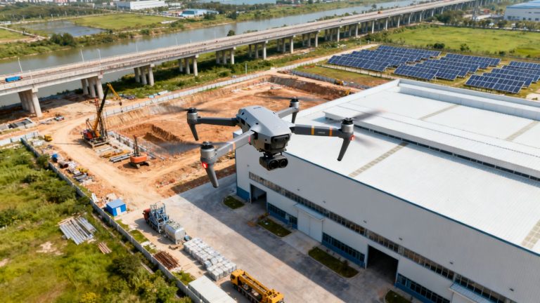
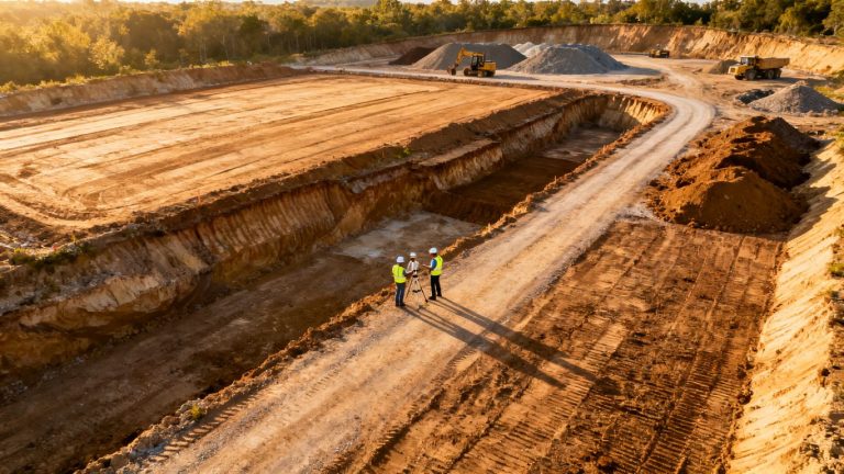
Aerial data capture for Sacramento infrastructure projects can turn a large, changing site into information that project teams can inspect from the office or field. The value is not simply a collection of attractive overhead photographs. It is a repeatable record that can support planning, coordination, documentation, and decisions about what needs attention next. For Sacramento work, that record may cover transportation corridors, utilities, drainage improvements, public facilities, or active development sites.
The right approach begins with the decision the data must support. A planning team may need broad context and visible constraints, while a construction manager may need comparable progress views or a record of material movement. Sacramento aerial imaging is one example of how project-focused visual information can support site monitoring and stakeholder updates without making the flight itself the center of the process.
What aerial data capture includes
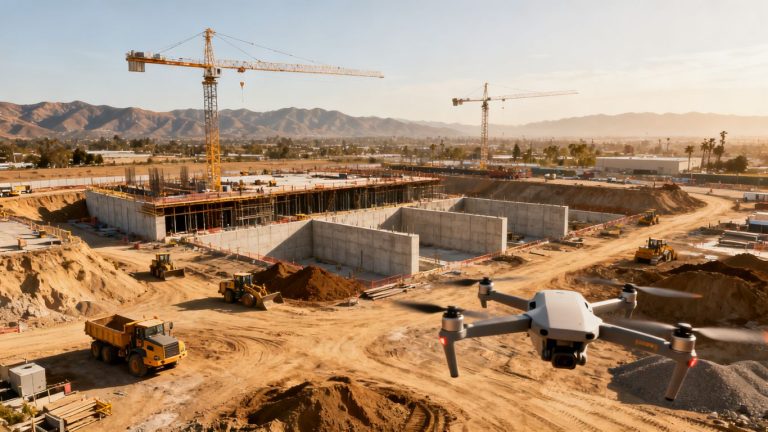
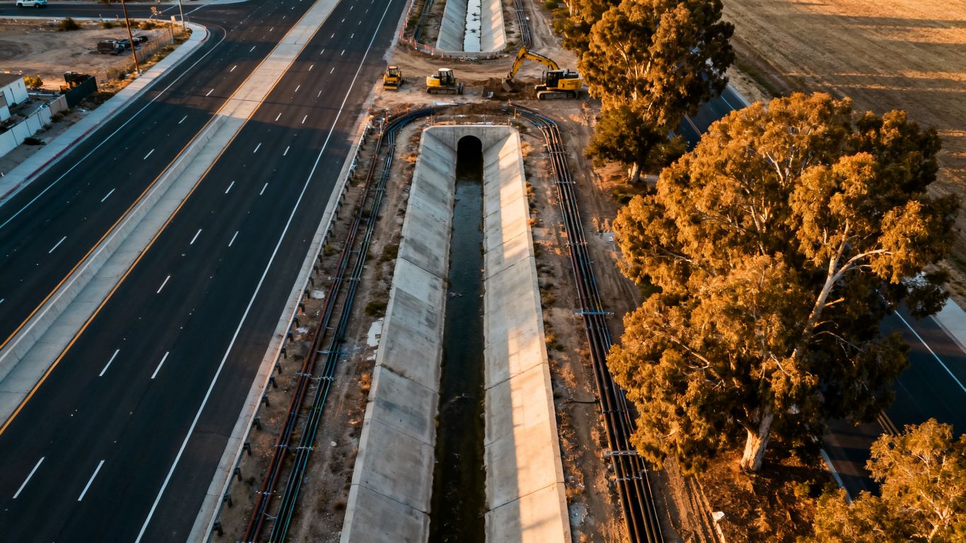
Aerial capture can include overlapping photographs, video, geospatial positioning, point clouds, elevation information, and processed visual products. The exact package depends on the mission: an infrastructure owner may need a map for context, an engineer may need a model for coordination, and a contractor may need a series of comparable observations. Establishing those needs early prevents a technically impressive dataset from being difficult to use.
It also helps to separate raw capture from processed deliverables. Photos may document conditions, while an orthomosaic or three-dimensional model can make measurement and comparison more practical. Where a project requires certified or survey-grade deliverables, the team should involve an appropriately licensed Professional Land Surveyor; aerial visualization and mapping should not be treated as a substitute for professional land surveying.
Infrastructure projects that benefit most
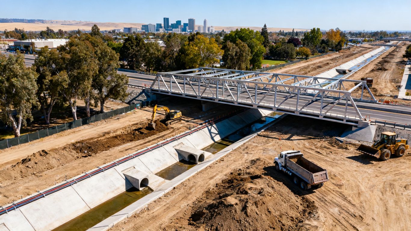
Aerial information is especially useful where conditions change quickly, access is limited, or many people need the same site view. Road and bridge work, utility corridors, grading operations, flood-control improvements, and large construction sites often benefit from a consistent overhead perspective. It can also help municipal teams communicate site conditions to people who cannot safely or conveniently visit the work area.
The strongest use cases are usually specific rather than universal. A project team might use imagery to review access routes, compare construction stages, inspect visible features, or provide context for a coordination meeting. That focused purpose makes it easier to choose the capture frequency, resolution, and output format without collecting more data than the project can use.
Sacramento-specific site and environmental considerations
Sacramento-area missions may move between dense urban settings, open agricultural edges, river-adjacent land, and busy transportation corridors. Each setting changes the flight plan. Trees, glare, dust, reflective surfaces, tall structures, overhead wires, and pedestrian activity can affect both safe operations and the quality of the resulting data.
Seasonal conditions deserve equal attention. Low winter light, summer heat, wind, smoke, and changing vegetation can influence visibility and comparisons between capture dates. A baseline should therefore record the date, conditions, control approach, and relevant site state so later images are interpreted in context rather than treated as perfectly interchangeable.
When aerial data complements conventional surveying
Aerial capture is most useful when it fills an information gap alongside established field methods. It can provide broad visual context between targeted measurements, help teams identify areas that merit closer inspection, and make field conversations more concrete. It can also reduce unnecessary exposure to active work zones, although it does not remove the need for ground verification where the task requires it.
A practical division of labor is straightforward: use aerial data for coverage, context, and change documentation, and use qualified survey professionals for regulated or certified surveying work. Clear boundaries in the scope protect the project and keep the resulting information fit for its intended purpose.
Choosing the right aerial capture technology
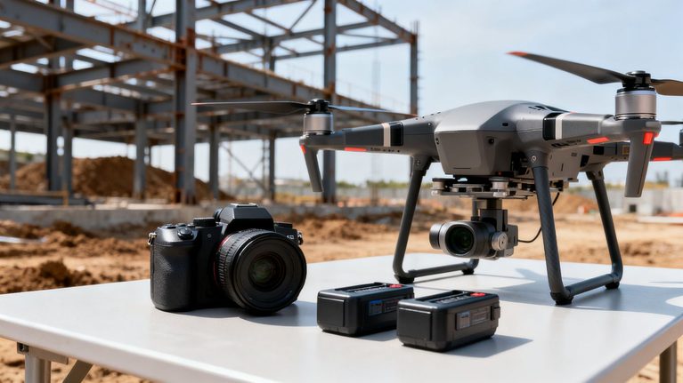
Technology selection should follow the question being asked, not the other way around. Photogrammetry can be a practical choice for visible surfaces and detailed imagery, while LiDAR may be better suited to terrain, vegetation, or complex conditions where the ground is difficult to interpret visually. The output also matters: an image set, orthomosaic, point cloud, three-dimensional model, and elevation product serve different workflows.
For project teams comparing options, Sacramento mapping resources can provide useful context about the kinds of surfaces, contours, terrain models, and three-dimensional site information associated with aerial mapping. The final specification still needs to come from the project’s accuracy, access, schedule, and coordination requirements.
Drone photogrammetry for accurate site mapping
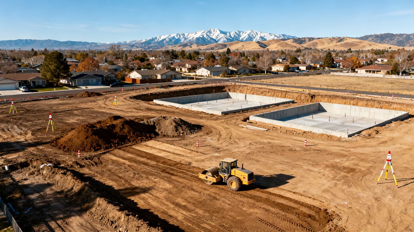
Photogrammetry builds information from overlapping photographs captured from planned positions. It works well where surfaces are visible and the project needs detailed visual coverage, an overhead map, or a three-dimensional representation of site conditions. Good overlap, suitable lighting, adequate texture, and disciplined flight planning all influence the final result.
Photogrammetry is not automatically appropriate for every feature. Uniform surfaces, deep shadows, moving objects, water, and vegetation can complicate image matching. A review of the site before capture helps the team decide whether additional control, a different sensor, or a complementary method is warranted.
LiDAR for terrain, vegetation, and complex structures
LiDAR records distance measurements to build a dense point cloud. It can be useful for understanding surface features and for sites where vegetation or complicated geometry makes image-based interpretation harder. The method still requires careful planning, appropriate control, and thoughtful processing; the sensor alone does not guarantee a fit-for-purpose result.
Aerial LiDAR is described by Aeroskape as producing dense point clouds for detailed site analysis and visualization. That scope is useful for planning discussions, progress review, and visual understanding, while projects needing certified or survey-grade deliverables should engage a Professional Land Surveyor.
Orthomosaics, 3D models, and digital elevation data
An orthomosaic combines corrected aerial photographs into a map-like view, while a three-dimensional model adds depth and perspective for inspection and coordination. Elevation data can help teams understand slopes, grading patterns, and changes in ground form. The most useful output is the one that fits the people and software who will use it after delivery.
A map for a coordination meeting may need clear imagery and a simple reference system. A design team may need a model or elevation surface that can be reviewed alongside other project information. 3D aerial modeling from imagery is one documented Aeroskape service for producing high-resolution three-dimensional models and visualizations for planning, monitoring, quality control, and environmental assessment.
Selecting sensors based on project requirements
Sensor selection becomes easier when the team writes down the conditions that could affect interpretation. Consider surface visibility, vegetation, structure height, expected accuracy, area size, repeat frequency, and whether the deliverable is visual, analytical, or intended for regulated use. A short requirements review can prevent a costly mismatch between the capture method and the final workflow.
For example, a broad progress record may prioritize consistent imagery and a manageable delivery format. A terrain-focused study may require LiDAR and stronger attention to control. In either case, the specification should state what the data will and will not be used to decide.
Planning a compliant and efficient data collection mission
A reliable mission is designed before anyone arrives on site. The plan should define the area, purpose, airspace review, safety controls, capture conditions, processing approach, and handoff. This preparation is especially valuable around Sacramento infrastructure, where roads, utilities, public activity, and active construction can converge in a small area.
Good planning also makes the schedule more honest. A flight date is only one part of delivery; approvals, site access, control placement, processing, quality review, and client coordination all take time. A clear sequence helps the project team understand when usable information will actually be available.
Defining survey boundaries and deliverables
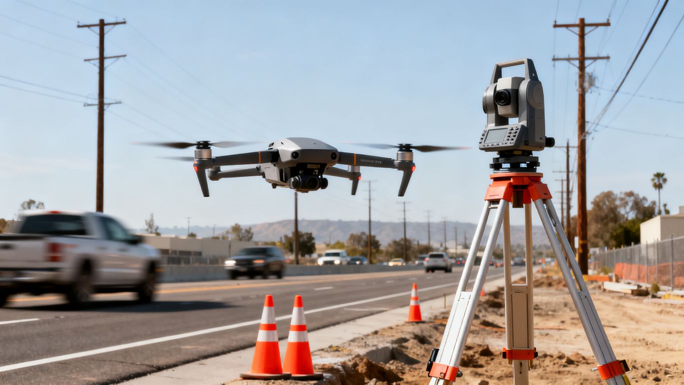
Start with a marked boundary and a written deliverable list. Include adjacent areas that affect access or interpretation, such as haul routes, staging zones, drainage paths, and utility interfaces. Then specify file types, resolution, coordinate reference, naming conventions, reporting needs, and the people responsible for acceptance.
A useful scope also identifies exclusions. If the work provides visualization data rather than certified surveying, say so plainly. This avoids later confusion when an image, model, or point cloud is used in a decision beyond the original purpose.
Addressing FAA and local operating requirements
Flight planning must account for applicable Federal Aviation Administration requirements, site permissions, operating limitations, and any local conditions that affect the mission. The operator should review airspace, nearby airports or heliports, people and vehicle exposure, launch and recovery areas, and emergency procedures before flight. Requirements can vary by location and operation, so current rules and approvals should be verified rather than assumed.
Compliance is part of project quality, not a separate administrative task. A mission that produces excellent imagery but creates avoidable safety or authorization problems is not a successful infrastructure mission.
Coordinating flights around traffic, utilities, and active construction
Infrastructure sites are rarely static. Coordinate with the superintendent, traffic control team, utility contacts, and site safety lead so the flight window matches actual conditions. The plan should identify exclusion areas, equipment movement, overhead lines, cranes, public interfaces, and a clear communication method for starting or pausing the operation.
A short preflight meeting can resolve practical details that maps cannot show. It also gives the crew a chance to confirm whether the planned launch location, visibility, and emergency landing options remain suitable when they reach the site.
Managing weather, visibility, and seasonal conditions
Weather thresholds should be agreed upon before mobilization. Wind, precipitation, smoke, heat, glare, and low visibility can affect safe control of the aircraft and the usefulness of the data. The plan should include a rescheduling trigger and a way to document conditions when a mission proceeds.
Consistency matters when the project involves repeat capture. Similar sun angles, flight parameters, control methods, and coverage limits make comparisons easier, although changing site conditions must still be recorded. A schedule that allows for a weather backup is usually more dependable than one built around a single inflexible date.
Using aerial data across the project lifecycle
The value of aerial data grows when the same project record can support more than one phase. Early imagery may inform feasibility, later capture can establish existing conditions, and repeat missions can document progress or visible changes. The handoff between phases should preserve dates, control information, file versions, and the limits of interpretation.
This lifecycle view also keeps teams from treating each flight as an isolated event. The question is not only what was captured today, but how today’s record will be compared, shared, and acted upon later.
Supporting preliminary design and feasibility studies
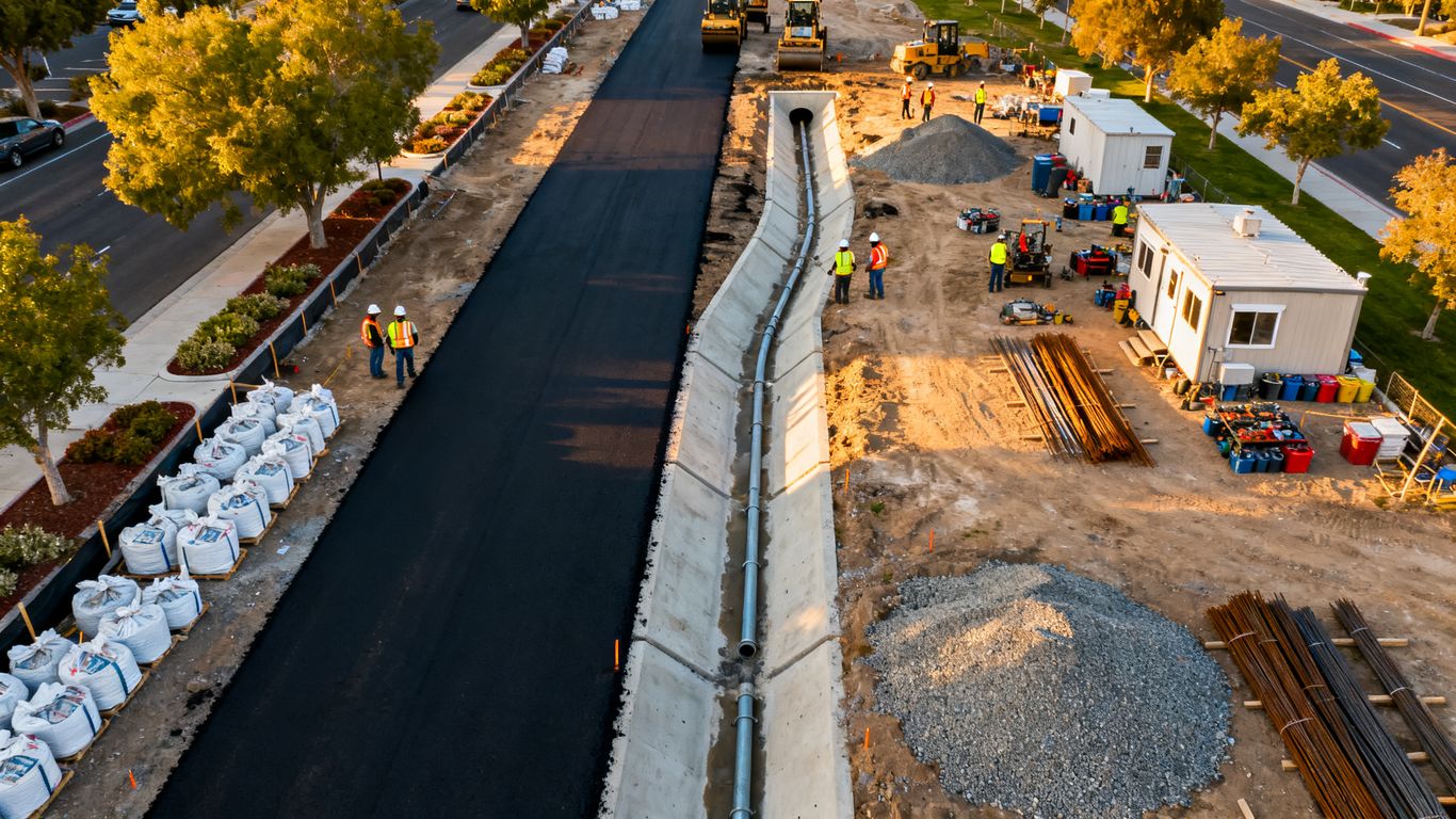
Early aerial information can help teams understand access, adjacent land uses, visible drainage patterns, staging possibilities, and broad site constraints. It gives designers and managers a shared visual starting point before detailed work is complete. Used carefully, it can help identify questions that deserve field investigation.
The output should be labeled as preliminary when it is preliminary. That simple distinction lets the team use the data productively without confusing a planning view with a final engineering or surveying document.
Establishing existing conditions before construction
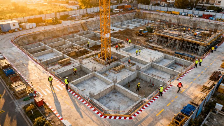
A preconstruction capture creates a dated record of visible conditions before grading, demolition, excavation, or installation changes the site. It may also document neighboring features and access conditions that become difficult to assess once work begins. Ground control, site notes, and a clear boundary make the baseline more useful.
The baseline should be delivered in a form the project team can actually retrieve. Consistent file names and a short explanation of what the data contains are often as valuable as the imagery itself.
Tracking progress and verifying quantities
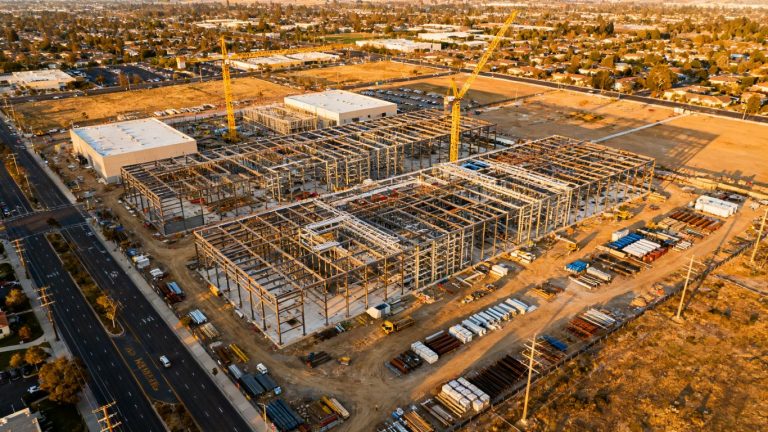
Repeat aerial capture can show movement across a site and support conversations about schedule, logistics, and visible completion. It may also assist with reviewing stockpiles or earthwork, provided the method, surface conditions, and accuracy are appropriate for the intended estimate. Any quantity derived from aerial data should be checked against the project’s measurement standards.
A compact capture schedule might include:
- A baseline before major site work begins.
- Regular progress missions tied to reporting periods.
- Event-driven flights after major grading, utility, or structural milestones.
- A final capture for closeout documentation and comparison.
This sequence gives the team both routine visibility and a way to record important transitions. It should be adjusted when site activity or weather makes a scheduled mission unrepresentative.
Documenting as-built conditions and maintenance needs
Closeout imagery can provide a visual record of completed work and visible site context. Later missions may help maintenance teams review changing conditions, access constraints, vegetation, or exposed assets before sending personnel into the field. The usefulness of the record depends on accurate dates, stable references, and clear separation between observation and interpretation.
Where an as-built deliverable has legal, design, or certification implications, the responsible professional should define and approve the required survey work. Aerial documentation can support that process without claiming to replace it.
Integrating aerial data with infrastructure workflows
Aerial information becomes easier to act on when it enters the same workflow as plans, schedules, field notes, and issue tracking. Integration does not mean every person needs every file. It means the right audience can find the right view, understand its date and limitations, and connect it to a project decision.
That requires a delivery structure agreed upon before the first mission. It also requires discipline around versions, coordinate systems, access permissions, and repeat capture settings. Small inconsistencies become expensive when a project spans months or multiple teams.
Connecting imagery and models to GIS platforms
GIS platforms can place imagery, models, and related observations in a spatial context. Before publishing, confirm the coordinate reference system, units, extent, resolution, and metadata. A technically correct file can still cause confusion if it is assigned the wrong system or lacks enough information for another team to interpret it.
The same principle applies to CAD, document management, and project collaboration platforms. Export only what the workflow needs, preserve the source record, and explain any processing or transformation that could affect measurements.
Sharing data with engineers, contractors, and agencies
Different stakeholders need different levels of detail. A project manager may need a dated visual summary, an engineer may need a model or point cloud, and an agency may need a clearly documented submission package. Organizing these outputs by date, area, and purpose makes review faster and reduces duplicate questions.
A short transmittal should state what was captured, when it was captured, how it was processed, and what limitations apply. That context protects the meaning of the data as it moves from the original operator to the people making decisions.
Creating repeatable capture schedules for project monitoring
Repeat missions should use stable boundaries, similar flight parameters, consistent control practices, and comparable deliverables whenever site conditions allow. The schedule can be weekly, monthly, milestone-based, or event-driven. The right interval depends on how quickly the site changes and how often the team can act on new information.
A repeatable program is more than a recurring calendar entry. It includes a named owner, a review process, a storage location, and a rule for escalating visible issues. Without those pieces, new imagery may accumulate without improving project coordination.
Maintaining consistent coordinate systems and control points
Control points and checkpoints create a foundation for comparing capture dates and evaluating results. Record their locations, identifiers, condition, and coordinate reference, and document any changes or replacements. If the project moves between vendors or phases, preserve that information in the handoff.
Consistency does not eliminate the need for validation. It makes validation possible and gives later users a better chance of understanding why two datasets align—or why they do not.
Evaluating accuracy, costs, and project value
Aerial capture should be evaluated against the decision it supports, not against an abstract idea of maximum precision. Some tasks need broad visual context, while others require carefully controlled measurements or professionally certified survey work. Defining the tolerance and acceptance method first keeps technology, field effort, and processing costs aligned.
Cost comparisons should include the full workflow. Mobilization, access, traffic control, control points, processing, quality review, storage, and repeat visits can all affect the project total. The cheapest flight is not necessarily the lowest-cost way to obtain dependable information.
Setting accuracy standards for different use cases
Accuracy requirements should be written in plain language and tied to a use case. A stakeholder update may prioritize clear, timely imagery, while a design-supporting surface may require stronger positional validation. The project team should identify which outputs are informational and which could influence measurements, quantities, or regulated decisions.
This distinction also makes procurement clearer. Vendors can propose an appropriate method when the scope describes the intended use, site conditions, and acceptance criteria rather than simply requesting “high accuracy.”
Using ground control and checkpoints to validate results
Ground control helps connect aerial observations to known positions, while independent checkpoints help test the resulting product. Their placement should reflect the site’s size, terrain, and complexity rather than clustering in one convenient area. Keep records of how points were established and how results were checked.
Validation findings should be included with the delivery, even when they are straightforward. A concise quality note gives engineers and managers useful context and makes later review less dependent on memory.
Comparing aerial capture with traditional survey methods
Aerial and ground methods answer overlapping but not identical needs. Aerial capture can cover broad areas and provide visual context efficiently, while field surveying may be better for targeted, regulated, or highly precise observations. Access, vegetation, safety exposure, schedule, and required certification all affect the comparison.
The sensible choice is often a combination rather than a contest between methods. Use each approach where it is strongest, and state clearly how one dataset informs or supplements the other.
Measuring time savings, risk reduction, and return on investment
Project value can be measured through shorter site-review cycles, fewer unnecessary field visits, faster issue identification, better documentation, and clearer communication. Track the baseline process before changing it, then compare time spent, rework, delays, and stakeholder response after the new workflow is established.
Avoid presenting benefits as automatic. Results depend on capture quality, delivery speed, adoption by the project team, and whether the information changes a decision. A modest, well-used dataset may create more value than a large archive that nobody reviews.
Avoiding common challenges in aerial infrastructure mapping
Most failures are avoidable when the team treats capture, processing, review, and delivery as one connected task. Missing coverage, poor lighting, inconsistent references, unclear permissions, and weak file organization can each reduce the value of an otherwise successful flight. A preflight checklist helps, but experienced judgment remains necessary when conditions change.
Data stewardship matters as well. Infrastructure imagery can reveal sensitive locations, construction activity, access points, and project schedules. Security and sharing rules should be defined before files begin moving among project participants.
Preventing incomplete coverage and unusable imagery
Confirm the boundary against current site information, allow suitable overlap, and check whether obstructions or moving equipment could block important areas. After capture, review coverage, image quality, control, and processing warnings before promising a final deliverable. A quick field check can prevent a costly return visit.
Do not hide gaps behind a polished presentation. Mark areas that were not captured or could not be interpreted reliably, explain why, and recommend the next practical step. That is more useful than implying a level of completeness the dataset does not have.
Protecting sensitive project and location data
Use controlled storage, role-based access, sensible retention periods, and secure transfer methods appropriate to the project. Remove unnecessary copies and keep a record of who received the deliverables. Teams should also agree on whether imagery may be shared outside the project group.
These practices are part of professional delivery, especially when the data includes public infrastructure, private property, or active construction operations. A clear data-handling plan helps preserve trust without slowing ordinary collaboration.
Handling restricted airspace and unexpected site conditions
Airspace restrictions, temporary flight limitations, emergency activity, unsafe launch areas, unexpected crowds, and changing equipment locations can alter a mission at short notice. The operator should have a stop-work process and a rescheduling path rather than improvising around a known hazard. Site contacts should understand that safety and compliance take priority over the planned capture time.
Unexpected conditions should be documented in the mission record. That note helps explain gaps, supports rescheduling, and gives the project team a more accurate account of what the dataset can support.
Choosing qualified operators and reliable deliverables
Review the operator’s experience with similar environments, safety planning, data processing, quality control, and communication. Ask what will be delivered, how it will be checked, and how limitations will be reported. A qualified operator should be comfortable describing both capability and boundary.
The final handoff should be organized, readable, and tied to the scope. When imagery, models, metadata, quality notes, and file indexes arrive together, the project team can use the information sooner and with less interpretation overhead.
Conclusion
A practical Sacramento infrastructure mapping program begins with a defined decision, matches capture technology to site conditions, and carries quality, compliance, and data stewardship through delivery; teams that want organized aerial information for planning, monitoring, and documentation can request a consultation with Aeroskape.
Frequently Asked Questions
What is aerial data capture for infrastructure projects?
It is the planned collection and processing of aerial imagery, positioning, elevation information, or point-cloud data to document and understand a project site. The useful output depends on the intended decision and may include maps, models, imagery, or structured records.
Is drone imagery the same as a land survey?
No. Drone imagery can complement surveying and provide valuable visual or mapping information, but it does not automatically constitute a certified or professional land survey. The project should involve a Professional Land Surveyor when regulated or survey-grade work is required.
When should a project use LiDAR instead of photogrammetry?
LiDAR may be useful for terrain, vegetation, or complex structures where image-based interpretation is difficult. Photogrammetry may be suitable for visible surfaces and detailed imagery. Site conditions and the required deliverable should guide the choice.
How often should infrastructure sites be captured?
The interval depends on how quickly conditions change and how frequently the team can act on new information. Some projects use milestone-based missions, while others use weekly or monthly schedules with additional event-driven captures.
What should be included in an aerial data deliverable?
Typical components may include processed imagery or models, metadata, dates, coordinate information, coverage details, quality notes, and file naming or indexing information. The exact package should be agreed upon before capture.
How can teams validate aerial mapping accuracy?
Teams can use appropriate ground control, independent checkpoints, documented processing methods, and a quality review tied to the intended use. Validation should be recorded with the deliverable rather than left as an undocumented assumption.
What causes aerial mapping data to become unusable?
Common causes include incomplete coverage, poor visibility, excessive motion, unsuitable overlap, unrecorded coordinate systems, obstruction, weather, and unclear deliverable requirements. Early planning and post-capture quality checks reduce these risks.