Achieving Sub-Centimeter Accuracy Drone Mapping in California: The Latest Innovations
Getting really precise maps from drones in California is getting easier, and it’s all thanks to some cool new tech. If you’re working on projects where every centimeter counts, like building roads or managing land, you’ve probably heard about sub-centimeter accuracy drone mapping California. It used to be a big deal to get that kind of detail, but things have changed a lot lately. We’re going to look at what’s new and how it can help you get the job done right.
Key Takeaways
- Combining different sensors, like LiDAR and cameras, helps make drone maps more accurate, especially in tricky spots like thick trees or bad lighting.
- Real-world tests show that specific drone mapping tools, like the MicaSense RedEdge-P or senseFly S.O.D.A. 3D, can achieve very precise results for different types of projects.
- Using RTK/PPK technology on drones significantly cuts down the need for ground control points, making surveys faster and more efficient while still getting survey-grade data.
- Automated data processing tools can speed up tasks like classifying ground points or detecting issues, turning long jobs into quick uploads.
- When picking a drone system for sub-centimeter accuracy drone mapping California projects, think about how long it can fly, what sensors it can carry, and how well it handles wind.
Achieving Sub-Centimeter Accuracy Drone Mapping in California: The Latest Innovations
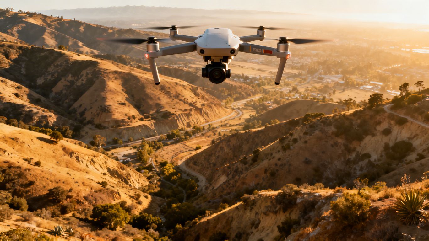
Getting drone maps that are accurate down to the centimeter level in California isn’t just about having a fancy drone; it’s a mix of smart tech and knowing how to use it. We’re seeing some really cool advancements that make this possible, even with California’s tricky terrain and weather.
Understanding Sensor Fusion For Enhanced Precision
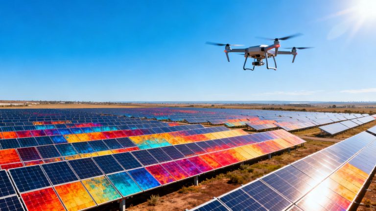
Think of sensor fusion like having multiple eyes on the job, each seeing something different. Drones are now packing multiple sensors, like LiDAR and high-res cameras, and combining their data. This isn’t just doubling up; it’s about making the final picture way more reliable. For instance, LiDAR is great at seeing through trees and giving you exact elevation data, while cameras add all the color and texture. When they work together, you get a map that’s both detailed and precise. This combined approach is key to hitting those sub-centimeter accuracy targets. It helps correct for the weaknesses of each individual sensor, giving you a more complete and trustworthy dataset for projects like land development.
Navigating Environmental Factors for Consistent Results
California’s environment can be a real challenge. You’ve got everything from foggy coastlines to dusty inland areas, and sometimes even dense forests. Different sensors handle these conditions differently. LiDAR, for example, can often see through fog or light vegetation where a camera might struggle. On the flip side, cameras are fantastic for capturing visual details in clear conditions. The trick is knowing which sensor to rely on when, or how to combine their strengths. This is where smart planning and the right drone setup come into play, especially for tasks like environmental monitoring.
Calibration Strategies for Reliable Data
Even the best sensors need to be properly set up. Calibration is like tuning a musical instrument – it makes sure everything is playing in harmony. Some drone systems come pre-calibrated, which is super convenient. Others might need a bit more attention, like manual camera calibration. Getting this right is non-negotiable if you’re aiming for survey-grade accuracy. It means the data you collect is actually what it claims to be, without any hidden errors creeping in. This attention to detail is what separates a good map from a great one.
Key Technologies Driving Sub-Centimeter Accuracy
Getting sub-centimeter accuracy from drone mapping in California is no longer just a marketing promise—it’s actually within reach thanks to some serious tech leaps. Below, let’s look at how LiDAR, photogrammetry, and cutting-edge positioning systems work together, plus why sensor tech keeps getting better.
LiDAR Versus Photogrammetry: Strengths and Weaknesses
Both LiDAR and photogrammetry have their place, and sometimes it’s not even an either/or—dual setups are common on advanced mapping drones now. Here’s a quick breakdown:
| Feature | LiDAR Mapping | Photogrammetry | Ground Survey* |
|---|---|---|---|
| Vertical Accuracy | 2-5 cm | 5-10 cm | <1 cm |
| Vegetation Penetration | Excellent | Poor | N/A |
| Collection Speed** | 1 day/100ac | 1 day/100ac | 2-4 weeks |
*Ground surveys require people on-site; drones often save time over big areas.
**Typical California terrain, estimate.
LiDAR is unbeatable under vegetation and in tough lighting, even mapping bare earth through tree cover or at dawn. Photogrammetry, on the other hand, excels over hard surfaces and delivers high-res imagery fast, as described in this piece on drone photogrammetry benefits.
- Use LiDAR in forests or where elevation detail is critical
- Use photogrammetry for large, open, or visually-detailed areas
- Hybrid payloads combine strengths, validating data from both sources
The Role of RTK/PPK in Achieving Survey-Grade Data
RTK (Real-Time Kinematic) and PPK (Post-Processed Kinematic) are the backbone of modern drone mapping accuracy. Without them, data is nowhere near "survey-grade."
- RTK delivers correction signals to your drone as it flies, keeping map positions extremely close to their real-world locations.
- PPK crunches corrections after the flight, which is great for tricky or remote sites without solid connection.
- Both methods cut down the number of ground control points (GCPs) needed, and can consistently nail down accuracy to 1-3 cm if used with good satellite visibility.
RTK correction services have made collecting reliable data possible pretty much anywhere—air, land, or even at sea—using a simple setup from a supported drone and a correction feed (see more about RTK correction services).
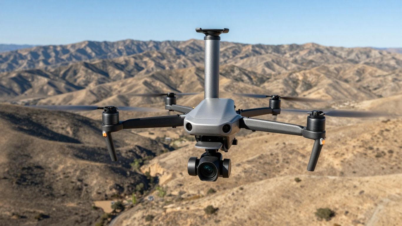
Advanced Sensor Capabilities for Complex Environments
Drones are getting smarter and more specialized. Some of the latest features include:
- Multi-sensor payloads: LiDAR, RGB, multispectral, and thermal cameras in one flight
- Real-time quality indicators: satellite count, precision dilution, live correction status
- Industry-standard accuracy compliance (like ASPRS Class 1)
- Fusion of data types, combining high-res color with laser for elevation
And it’s not just about raw data—top-tier drones now offer robust integration with platforms like AutoCAD Civil 3D, ArcGIS, and more, giving teams a straightforward workflow no matter how complex the site. (For a closer look at how these sensors underpin California workflows, check out advanced corridor mapping with LiDAR.)
Sub-centimeter accuracy is no longer a distant goal—drones with RTK/PPK, advanced sensors, and flexible processing now make it possible for California projects of all shapes and sizes. Picking the right blend of technology still matters, since every terrain and spec is a little different.
Evaluating Drone Mapping Platforms for California Projects
So, you’re looking to get some seriously accurate drone maps for your California project, and you’re wondering which platform is actually going to cut it. It’s not just about picking the flashiest drone; you’ve got to look at how it all fits together, from the sensors to the software, and how it plays nice with the tools you’re already using. Choosing the right platform is a big deal, and it can make or break your project’s success.
Assessing Accuracy Benchmarks and Real-World Performance
When we talk about accuracy, it’s easy to get lost in the numbers. A 2-centimeter error might be no big deal for a highway job, but for something like a dam inspection, that’s a whole different story. You need to see how these platforms actually handle georeferencing. Some systems, like those from Twinndigital, are verified against official control points, which gives you a solid idea of what to expect. It’s also smart to test a few systems on the same site yourself. Compare their results against traditional survey data to see whose claims hold up in your specific California environment. This kind of real-world testing is way more telling than just looking at spec sheets.
Integration with Existing Tech Stacks and Software Workflows
Nobody wants to rip out their entire software setup just to use a new drone. The best platforms will play nicely with what you’ve already got. Think about your BIM software, your construction management tools – does the drone platform talk to them easily? Some systems export directly to formats like .RCP for Autodesk ReCap, or create .E57 point clouds that work with Bentley ContextCapture. Others might need a few extra steps. It’s also worth looking at API access. If a platform has a good API, you can build custom workflows, which is a huge time-saver down the line. For instance, some platforms offer Python libraries, making it easier to automate tasks.
Cloud vs. Desktop Processing: Trade-offs for California Teams
This is a big one, especially with California’s varied terrain and connectivity. Cloud processing platforms can handle pretty much unlimited data, which is great for massive projects. However, you need a reliable internet connection, which can be a challenge in remote areas. Desktop solutions, on the other hand, work offline, which is a lifesaver when you’re out in the field with spotty service. The downside is that your processing power is limited by your local hardware. So, if you’re dealing with huge datasets, a desktop setup might take a lot longer. It really comes down to where you’ll be working and what kind of internet access you can count on.
When you’re looking at drone platforms, don’t just focus on the drone itself. The software that processes the data is just as important, if not more so. A fancy drone with clunky software can lead to a lot of headaches and lost time. Make sure the whole package, from flight planning to final deliverable, makes sense for your team and your projects.
Optimizing Data Processing and Deliverables
So, you’ve got all this amazing data from your drone flight, but what do you do with it? This is where the magic of processing and getting the right outputs really comes into play. It’s not just about flying the drone; it’s about turning those raw images and scans into something you can actually use for your California projects.
Automation in Data Processing for Efficiency
Manual processing can be a real drag, taking days or even weeks. Thankfully, a lot of the newer software is getting pretty smart. Think about automated feature extraction – software that can spot roads, buildings, or even moving cars and mask them out for you. This saves a ton of time compared to doing it by hand. Some systems can even classify ground points automatically, which is a big help for creating digital terrain models. It’s like having a digital assistant that works through the night so you don’t have to.
- Automatic detection and masking of moving objects.
- Automated classification of ground points for DTMs.
- Generation of inspection reports with anomaly detection.
The speed at which some of these platforms can process data is pretty wild. What used to take a whole workday might now be done in under an hour, especially with cloud-based solutions that can really scale up when you need them to. This speed means faster decisions on site.
Output Compatibility and Downstream Workflow Integration
Getting the data is one thing, but making sure it plays nice with your other software is another. You don’t want to spend hours converting files. Look for platforms that can export directly into formats your existing systems use, whether that’s for GIS, BIM, or other project management tools. Some drone software can push data straight into platforms like Autodesk ReCap or Bentley ContextCapture, which is a huge time-saver. It means your drone data is ready to go for the next step without a lot of fuss.
Here’s a quick look at how some systems connect:
| Drone Platform | Direct Export To |
|---|---|
| Wingtra | Autodesk ReCap |
| AgEagle | Bentley ContextCapture |
| Parrot | Cesium 3D Tiles |
Quality Indicators for Pre-Flight and Post-Flight Validation
Before you even take off, and right after you land, checking a few things can save you a lot of headaches. During the flight, some software gives you real-time feedback on things like image overlap. This helps you catch issues on the spot. After the flight, it’s all about validating the data. This could mean checking your accuracy against ground control points or just doing a visual inspection of the orthomosaic to make sure everything looks right. Having clear quality indicators means you know you’ve got reliable data for your high-resolution orthomosaic mapping needs, rather than finding out later that something went wrong.
- Real-time monitoring of image overlap during flight.
- Verification of data against ground control points.
- Visual inspection of orthomosaics for artifacts or gaps.
- Checking metadata for completeness and accuracy.
Choosing the Right System for Your California Sub-Centimeter Mapping Needs
So, you’re aiming for that sub-centimeter accuracy with your drone mapping in California, which is awesome. But picking the right gear can feel like a maze, right? It’s not just about grabbing the fanciest drone; it’s about matching the tech to what you’re actually trying to map and where.
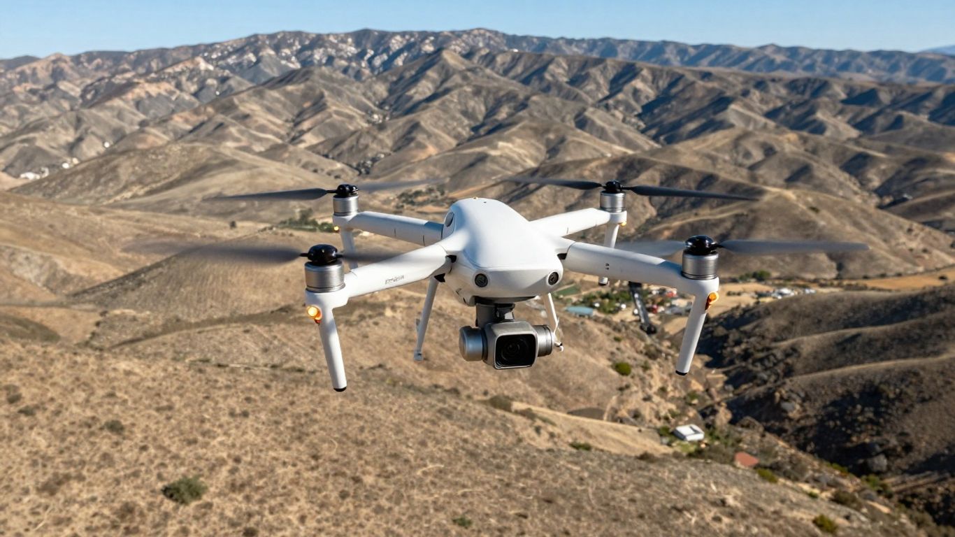
Flight Time and Coverage Area Considerations
When you’re looking at drones, think about how long they can stay in the air and how much ground they can cover in one go. This is super important, especially for those big projects across California’s varied landscapes. A drone with a longer flight time means fewer takeoffs and landings, saving you time and hassle. Also, consider the drone’s speed and its swath width – how wide a strip it maps with each pass. These factors directly impact how quickly you can get your data.
- Longer flight times: More area covered per battery, less downtime.
- Wider swath width: Fewer flight lines needed to cover the same area.
- Payload capacity: Can it carry the sensors you need for sub-centimeter accuracy?
For instance, if you’re mapping a large agricultural field or a sprawling construction site, you’ll want something that can handle hundreds of acres without needing constant battery swaps. Some systems are built for endurance, like those designed for drone-based aerial mapping in Santa Clara County, which often prioritize flight duration and coverage.
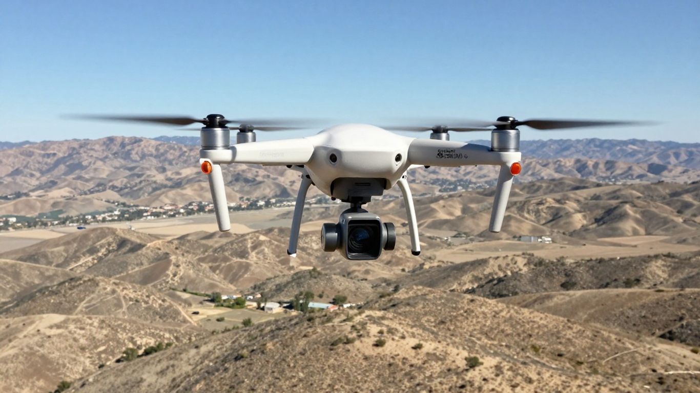
Sensor Flexibility and Payload Options
This is where the magic happens for accuracy. You’ve got options like LiDAR and high-resolution cameras (photogrammetry). LiDAR is fantastic for penetrating dense vegetation and getting a true bare-earth model, which is a lifesaver in California’s forests or areas with thick brush. Photogrammetry, on the other hand, is great for creating detailed 3D models with realistic textures, but it can struggle with dense foliage or low-light conditions.
The best systems often allow you to swap sensors or even combine data from multiple sensors. This multi-sensor fusion approach can give you the best of both worlds – LiDAR for elevation and photogrammetry for visual detail. Think about what your project demands: do you need to see through trees, or is detailed surface texture more important?
| Sensor Type | Best For | Accuracy Potential (with RTK/PPK) | Notes |
|---|---|---|---|
| LiDAR | Vegetation penetration, bare-earth terrain | 2-5 cm vertical | Works well in low light, overcast conditions |
| Photogrammetry | Detailed 3D models, texture mapping | 5-10 cm vertical | Struggles with dense vegetation, low light |
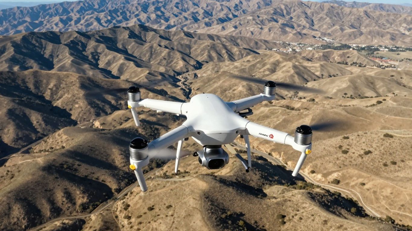
Wind Resistance and Operational Reliability
California weather can be unpredictable, especially in certain regions. You’ll encounter everything from coastal breezes to mountain winds. A drone that can handle these conditions reliably is key to getting your data without constant delays. Look at the drone’s specifications for wind resistance ratings. Some professional-grade drones are built with robust designs and advanced flight controllers to maintain stability even in gusty conditions.
Don’t underestimate the impact of wind on your data quality. Even a slight wobble can introduce errors, especially when you’re chasing sub-centimeter precision. A stable platform is non-negotiable.
When you’re evaluating systems, ask about their performance in real-world conditions. Manufacturers might list impressive specs, but how does the drone actually perform when it’s windy or the temperature changes? Checking reviews or asking for case studies from similar California projects can give you a clearer picture. Ultimately, choosing the right system is about balancing flight performance, sensor capabilities, and the specific demands of your mapping project.
The Future of Sub-Centimeter Accuracy Drone Mapping in California
So, what’s next for getting those super-precise drone maps in California? It feels like we’re just scratching the surface of what’s possible. The tech is moving fast, and it’s pretty exciting to think about where it’s all headed.
Emerging Sensor Technologies and Innovations
We’re seeing some really cool developments in sensors. Think about multi-sensor fusion, where LiDAR and high-res cameras work together. This combo gives you the best of both worlds: LiDAR for accurate elevation data, even through trees, and cameras for realistic textures. It’s like having two sets of eyes, each doing what it does best. Plus, new sensor designs are getting smaller, lighter, and more power-efficient, which means longer flight times and more coverage on a single battery. We’re also looking at advancements in hyperspectral and thermal imaging that can be integrated, adding even more layers of data to your maps beyond just geometry.
The Importance of Expert Consultation and Support
Even with all this amazing tech, figuring out the right setup for your specific California project can still be a puzzle. That’s where talking to the pros really pays off. They can help you sort through the options, like choosing between different RTK/PPK systems or deciding if a LiDAR or photogrammetry-heavy approach is best for your needs. Getting advice from folks who live and breathe this stuff means you’re less likely to end up with a system that doesn’t quite fit the bill. It’s about making sure your investment actually solves your problems.
Bridging the Gap Between Airborne Precision and Field Usability
Ultimately, the goal is to make this high-precision data easy to use on the ground. We’re talking about software that can take complex point clouds and turn them into simple, actionable deliverables. Think about automated processing that cuts down on manual work and speeds up your turnaround time. The focus is shifting towards making sure that the centimeter-level accuracy captured in the air translates directly into practical benefits for tasks like construction monitoring or land surveying. It’s about making sure that the data isn’t just accurate, but also useful for drone stockpile volumetrics and other real-world applications.
Here’s a quick look at how different technologies stack up:
- LiDAR: Great for dense vegetation, low light, and getting bare-earth models. Offers 2-5cm vertical accuracy.
- Photogrammetry (with RTK/PPK): Excellent for detailed surface textures and 3D models. Typically achieves 5-10cm vertical accuracy.
- Traditional Ground Survey: The gold standard for absolute accuracy, but much slower and more labor-intensive.
The push is on to make these advanced mapping systems more accessible and integrated into everyday workflows. It’s not just about the raw data anymore; it’s about how easily that data can be used to make better decisions on site.
Wrapping It Up
So, we’ve looked at some pretty cool tech that’s making drone mapping in California more accurate than ever. It’s clear that whether you’re dealing with tricky terrain, dense trees, or just need super precise measurements, there’s a drone and sensor combo out there for the job. From LiDAR’s ability to see through leaves to advanced cameras and smart software, the options are getting better and more specialized. It’s not just about having the fanciest gear, though; it’s about picking the right tool for what you need to do and making sure it fits into your existing workflow. The future looks bright for getting those sub-centimeter results, making projects smoother and data more reliable.
Frequently Asked Questions
What is sub-centimeter accuracy in drone mapping?
Sub-centimeter accuracy means the drone can map and measure objects with errors less than one centimeter. This level of precision is important for projects like building roads, surveying land, or checking construction sites, where even small mistakes can matter.
How do LiDAR and photogrammetry compare for mapping in California?
LiDAR uses lasers to measure distances and works well in places with lots of trees or poor lighting. Photogrammetry uses photos to build 3D maps and is great for capturing surface details and textures. In California, LiDAR is better for forests or low-light areas, while photogrammetry is good for open, sunny places.
Why is RTK or PPK important for drone surveys?
RTK (Real-Time Kinematic) and PPK (Post-Processed Kinematic) are GPS methods that help drones know their exact position. They make the maps much more accurate, often down to just a few centimeters, which is needed for professional surveying and engineering work.
What should I check before choosing a drone mapping system for my project?
You should look at how accurate the drone is, how long it can fly, what sensors it can carry, and if it can handle windy weather. Also, make sure the data it collects can be used with your current software and that it fits your project needs.
Is it better to process mapping data in the cloud or on my own computer?
Cloud processing is fast and can handle lots of data, but you need a good internet connection. Processing on your own computer works without internet, but might be slower if your computer isn’t powerful. The best choice depends on your team’s needs and where you are working in California.
How can I make sure my drone maps are accurate before I leave the field?
Check real-time quality indicators like the number of GPS satellites, signal strength, and if your RTK system is working. After flying, review the data for errors, make sure points line up with known locations, and look for any missing spots in the map. This helps you fix problems right away instead of finding them later.