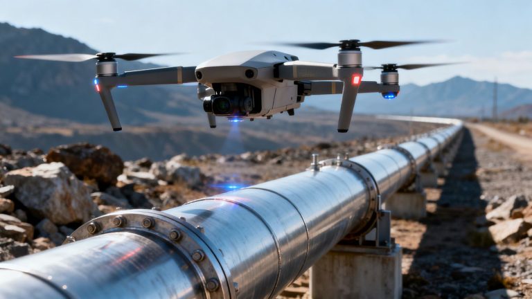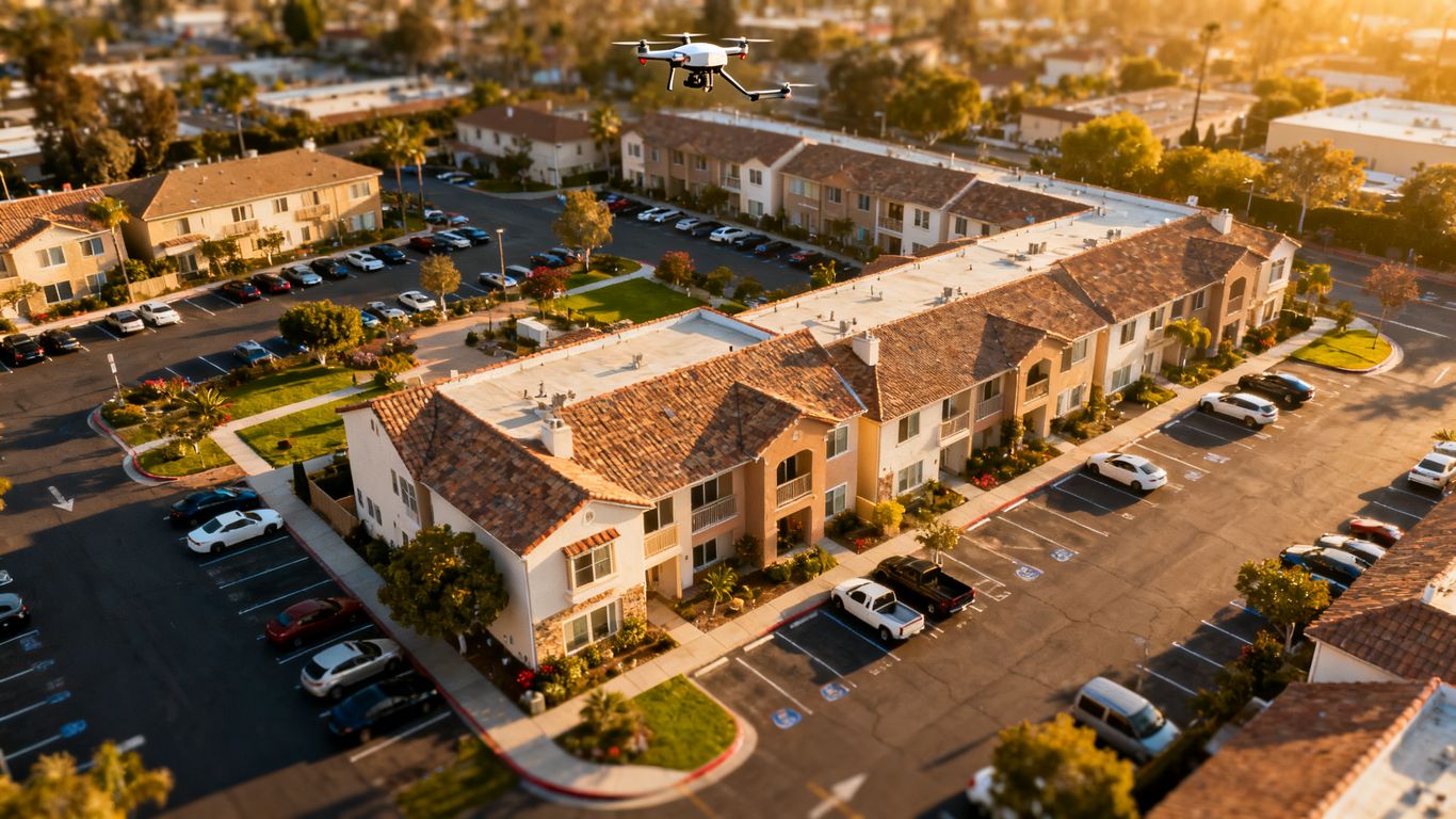
Property condition assessment drone survey California: A practical guide for owners and managers
Key Takeaways
A drone survey can make exterior property documentation faster, safer, and easier to revisit, but it works best as part of a broader assessment process.
- Define the property systems, risks, and decisions the survey must support.
- Use aerial imagery to document roofs, façades, pavement, drainage, and visible site conditions.
- Coordinate flight planning, airspace approvals, privacy, occupants, and active operations before capture.
- Treat thermal, RGB, and other sensor outputs as evidence that may require professional interpretation.
- Select a provider based on safety, insurance, deliverables, experience, and follow-up support.
Understanding drone-based property condition assessments
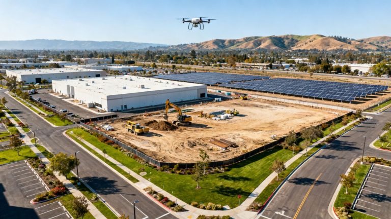
A property condition assessment examines the physical state of an asset and the maintenance issues that may affect ownership, operation, or investment decisions. A drone adds a repeatable aerial view of areas that are difficult, costly, or hazardous to reach from the ground. The resulting images do not replace engineering judgment or a complete building assessment, but they can make exterior observations more consistent and easier to document.
What a drone survey can document
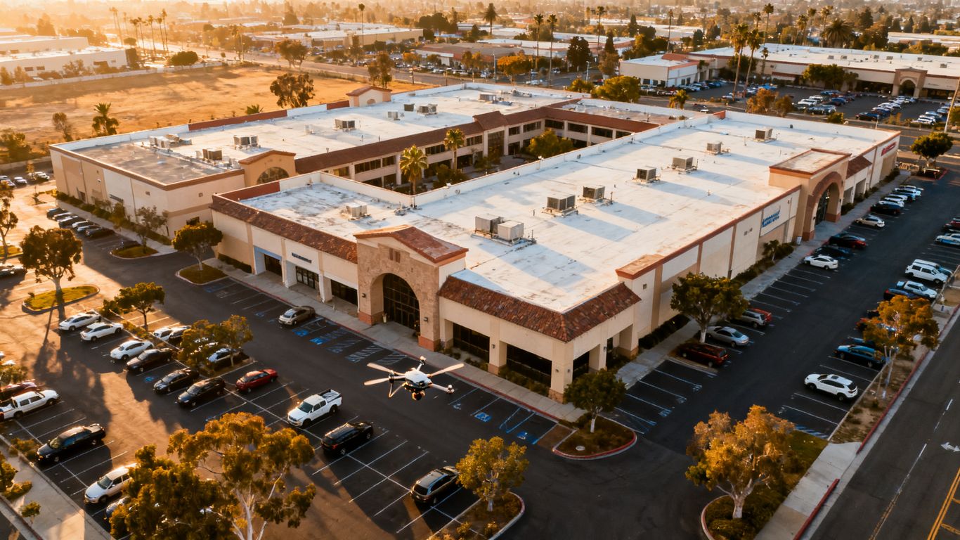
A properly planned flight can record roof surfaces, flashing, vents, gutters, parapets, façades, exterior equipment, parking areas, drainage paths, and other visible site features. High-resolution RGB imagery is useful for creating a visual record of cracks, displaced materials, staining, ponding, corrosion, vegetation growth, and apparent impact damage. The survey should be framed around observable conditions rather than conclusions about hidden causes.
For owners and managers, the value is often in having a dated baseline. A consistent view can help compare a property before and after a storm, renovation, tenant turnover, or repair program. It also gives consultants and maintenance teams a common set of images to discuss.
Properties that benefit from aerial inspections
Aerial inspections are particularly useful for large commercial buildings, multifamily communities, warehouses, industrial sites, campuses, parking structures, and properties with steep or complicated roofs. They can also help when a building has several elevations, restricted access, fragile exterior materials, or extensive grounds. Historic assets may require extra care, and a historic building restoration planning guide can help teams think through coordination with owners, conservators, and engineers.
A drone survey can be practical for a single asset, but its value grows across a portfolio. Repeated capture can give managers a comparable record of similar roofs, exterior walls, and site areas, provided the flight plan and image standards remain reasonably consistent.
How drone data complements traditional assessments
A drone supplies exterior evidence; it does not independently determine the full condition of a building system. A property condition assessment may still require interior observations, document review, interviews with facility staff, contractor input, code analysis, or specialist testing. The aerial record helps those professionals focus attention and connect observations to precise locations.
The strongest workflow gives each image a place in the larger decision. For example, a roof image showing staining may prompt a closer inspection of flashing, an interior review below the area, or a moisture investigation. That is more useful than treating a large folder of photographs as the final report.
When a drone survey may not be sufficient
A drone may not reveal concealed deterioration, interior leaks, structural conditions behind cladding, or defects hidden by vegetation, shadows, dirt, or unfavorable weather. A small image defect can also be difficult to interpret without scale, access, or supporting records. Certified measurements, legal boundary work, and professional opinions should remain with appropriately licensed professionals; aerial imaging should not be presented as professional land surveying.
Before commissioning the work, identify the questions that imagery cannot answer. If the concern involves a suspected leak, structural movement, electrical issue, or hazardous material, plan for the specialist inspection that will follow the flight rather than assuming the drone will settle the matter.
Evaluating roofs, façades, and exterior systems
Exterior systems often show the first visible signs of deferred maintenance, but they are also among the hardest parts of a property to inspect closely. Aerial capture can provide broad coverage and close views without placing an inspector on every roof edge or façade. The survey should still distinguish between a visible symptom and a confirmed failure.
Identifying roof damage and drainage issues
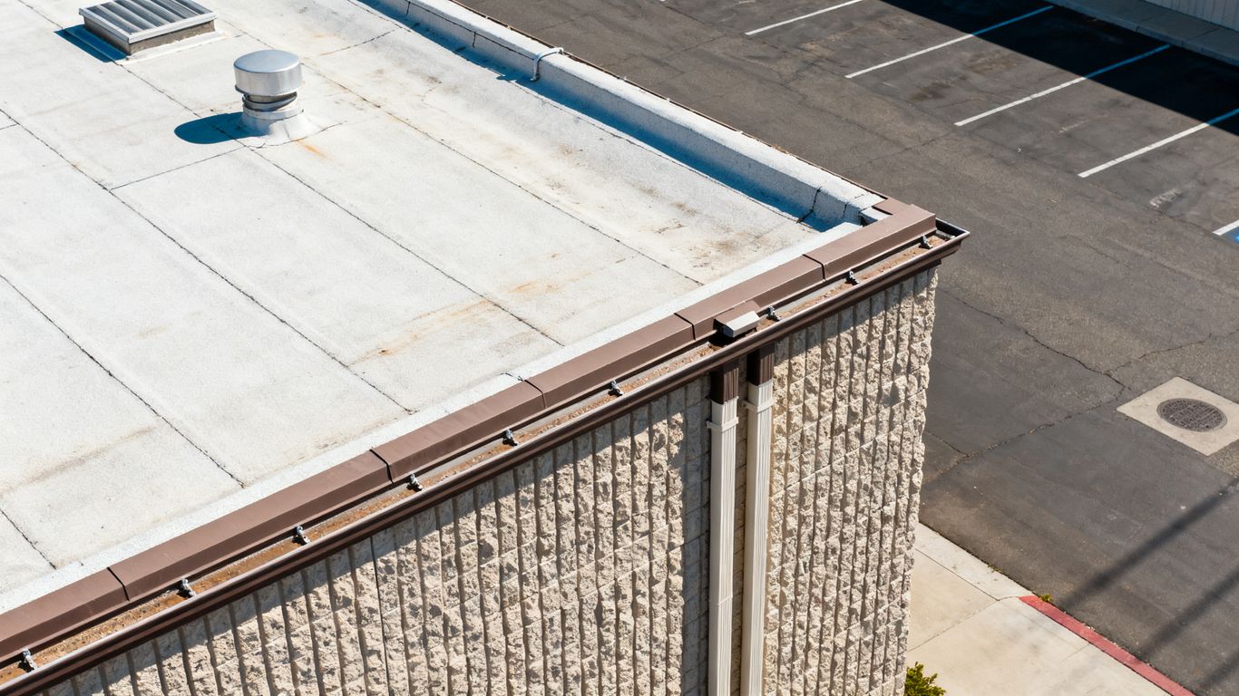
Roof imagery can document missing or displaced coverings, cracked tiles, damaged membranes, exposed flashing, blocked drains, gutter conditions, debris, and areas that appear to hold water. The camera angle matters: low oblique views can reveal raised seams or damaged edges, while overhead views help show drainage patterns and the relationship between roof sections.
A roof inspection record becomes more useful when each observation is tied to a roof area, image date, and recommended next step. For insurance-related work, teams should also preserve existing records and coordinate the aerial documentation with contractor findings and interior photographs. A roof claim inspection guide offers a useful example of how visible roof evidence can fit into that broader process.
Inspecting façades, cladding, and exterior walls
Façade capture can reveal cracked render, open joints, displaced panels, staining, impact marks, failed sealants, exposed fasteners, and vegetation at wall interfaces. Oblique imagery is especially helpful for seeing changes in plane and shadow lines that may be missed in a straight-on ground photograph. It can also help teams mark elevations that deserve a closer hands-on review.
The survey should account for window reflections, changing light, nearby trees, and architectural details that obscure the wall surface. For historic properties, the operator may need a more conservative flight plan and closer coordination with preservation professionals.
Reviewing parking lots, pavement, and site features
Property condition work extends beyond the building envelope. Parking lots, drive aisles, sidewalks, loading zones, retaining features, stormwater paths, fences, and rooftop equipment can all influence maintenance planning. An aerial view helps managers understand how individual defects relate to slopes, drainage, traffic patterns, and adjacent surfaces.
The following capture priorities can keep a broad site survey focused:
- Roof planes, edges, drains, penetrations, and rooftop equipment.
- All major building elevations, including service and rear façades.
- Parking surfaces, sidewalks, curbs, loading areas, and visible trip hazards.
- Drainage routes, erosion, ponding areas, vegetation encroachment, and site access points.
After capture, those priorities can become inspection layers or report sections rather than remaining as disconnected photographs. That makes it easier to assign a maintenance owner and decide whether a defect needs immediate attention, budgeting, or simple observation.
Detecting moisture, corrosion, and other visible defects
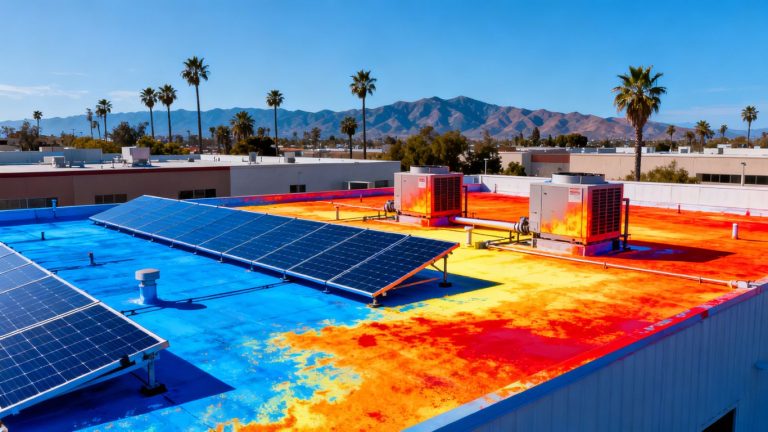
Color and texture changes may point to moisture intrusion, corrosion, biological growth, heat-related issues, or material deterioration, but RGB imagery alone cannot confirm every diagnosis. Thermal imaging can add another view when surface temperature differences are relevant, although weather, sun exposure, emissivity, wind, and building materials affect interpretation. Findings should be described carefully and verified when the consequence of a wrong conclusion is high.
Aerial thermal imaging may be useful for screening roofs, façades, equipment, and other structures for heat anomalies. Aeroskape provides Thermal Drone Inspections that use drone thermal imaging and infrared technology to identify visible heat anomalies for informational decision support. The deliverable should guide the next inspection step, not be treated as a substitute for specialist diagnosis.
Planning a property condition assessment drone survey in California
The best survey begins before the aircraft arrives. Owners and managers should define what decisions the imagery must support, what areas are included, and what conditions could limit capture. In California, planning also needs to account for airspace, site permissions, privacy, weather, nearby people, and the operating schedule of the property.
Defining the inspection scope and objectives
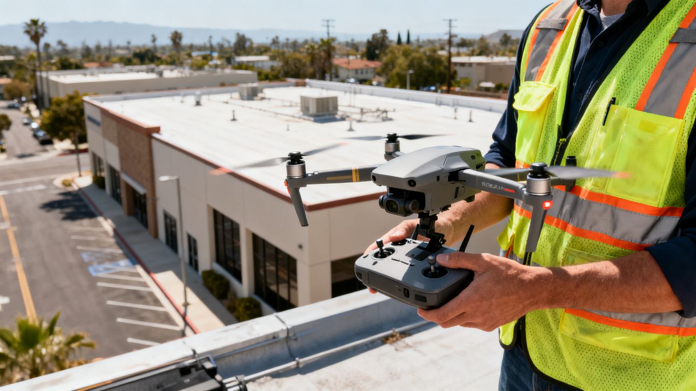
Start with the asset list and the purpose of the survey. A transaction assessment may emphasize baseline condition and deferred maintenance, while an insurance review may focus on visible storm damage, and a maintenance program may prioritize repeatable records for roofs and façades. Write down exclusions as well as inclusions so that stakeholders understand what the flight will and will not establish.
The scope should identify required image types, areas of concern, desired file formats, reporting needs, and any professional review expected after capture. If the work involves measurable or legally relied-upon deliverables, confirm the appropriate licensed professional role before the project begins.
Preparing the property and surrounding areas
A preflight walk-through can identify locked gates, reflective surfaces, overhead wires, cranes, trees, rooftop obstructions, loose materials, and areas where people or vehicles may enter the operating zone. Property staff can also clear unnecessary rooftop items, provide access information, and flag sensitive tenant or operational areas.
Preparation is not just an access issue. It reduces interruptions, improves image quality, and gives the operator a safer understanding of the site. Weather forecasts, wind, haze, rain, and intense sunlight should be considered alongside the condition the team is trying to document.
Selecting RGB, thermal, or multispectral imaging
RGB cameras are generally suited to visual documentation of materials and visible defects. Thermal sensors can identify temperature patterns that may warrant additional investigation, while multispectral sensors may be appropriate for specialized environmental or vegetation questions. The right choice depends on the inspection objective, surface conditions, deliverable, and the expertise available to interpret the data.
Sensor selection should not be driven by novelty. Ask what decision each sensor will improve and whether the survey conditions will support a meaningful result. A clear RGB record may be more useful than a technically impressive dataset that cannot be interpreted confidently.
Coordinating access, occupants, and site operations
Commercial and multifamily properties rarely become quiet simply because an inspection is scheduled. Coordinate with tenants, security, facility staff, delivery teams, maintenance crews, and contractors. Establish where the crew can stage, who can pause operations if needed, and how residents or employees will be informed about the flight.
For complex projects, a written flight plan should identify takeoff and landing areas, flight boundaries, expected timing, emergency procedures, and communication contacts. Request a site review early enough to resolve practical questions before the intended inspection date.
Understanding California drone regulations and safety requirements
A property condition assessment drone survey California project must satisfy federal aviation rules as well as site-specific permissions and operational constraints. California property rights, privacy expectations, local requirements, and facility policies can affect how a flight is planned. Compliance is not a paperwork exercise added after the imagery is captured; it shapes the flight itself.
Complying with FAA Part 107 rules
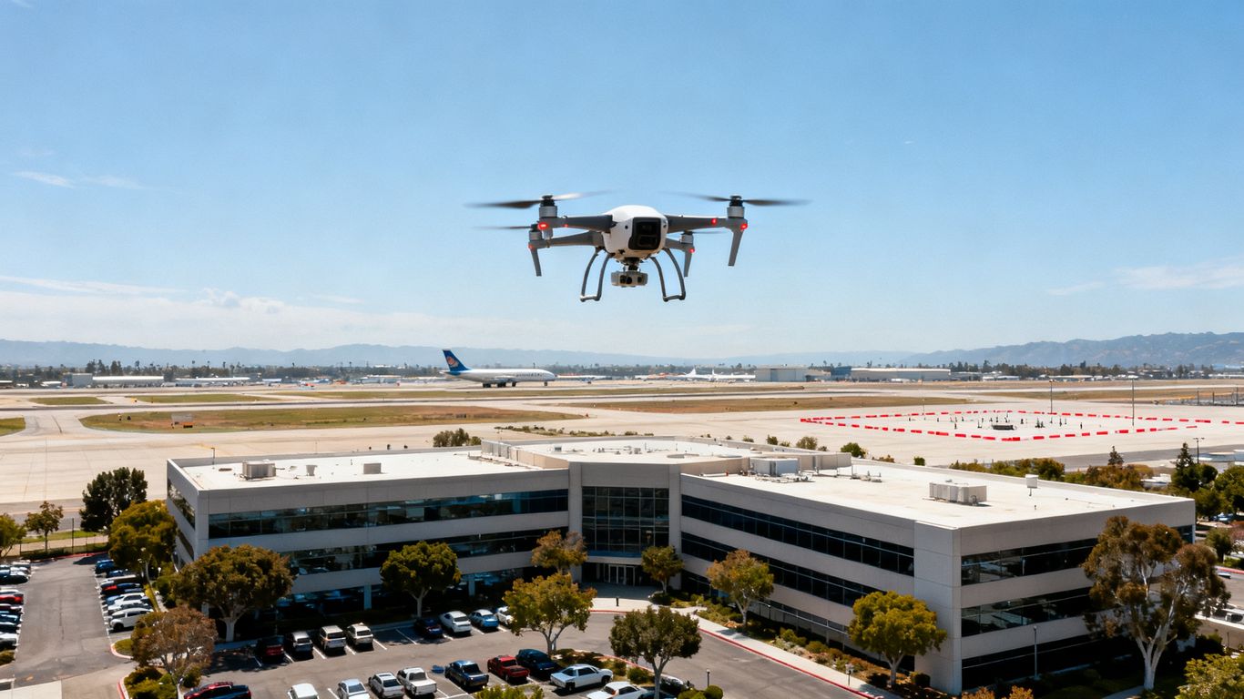
Commercial operators generally work under FAA Part 107, which addresses pilot certification, aircraft registration, operating limits, visual line of sight, weather considerations, and other requirements. The operator should be able to explain how the planned mission fits the applicable rules and what approvals or waivers may be needed.
Owners should ask for the operator’s credentials, insurance information, aircraft identification details, and emergency procedures. A provider that cannot clearly describe its compliance process creates avoidable risk for the property owner and the project team.
Managing operations near airports and controlled airspace
Airspace near airports, heliports, military facilities, and other controlled areas may require authorization or additional coordination. A flight location that appears simple from the ground can still have restrictions. The operator should check the airspace before confirming the mission and document any required approval.
Ground access and airspace authorization are separate questions. Permission to launch from private property does not by itself authorize the aircraft to enter restricted airspace, and airspace approval does not grant access to a site.
Addressing privacy, neighboring properties, and data security
A camera may capture neighboring buildings, private yards, license plates, tenants, or other information outside the client’s intended inspection area. Define flight boundaries and camera direction to limit unnecessary collection. Data should be stored, shared, and retained according to the project’s privacy and security expectations.
A written scope can specify who may receive raw imagery, processed files, reports, and links to hosted data. It can also establish how long files remain available and how sensitive areas are handled in the final deliverable.
Handling flights around people, traffic, and active facilities
People, vehicles, cranes, moving equipment, and active building operations create changing hazards. A safe plan may require a temporary exclusion zone, a spotter, a schedule adjustment, or a decision not to fly. The operator should retain authority to pause or cancel the mission when conditions no longer match the approved plan.
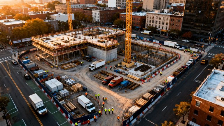
For work involving construction, utilities, or infrastructure, aerial data collection should be coordinated with the site’s existing safety program. Aeroskape’s commercial drone inspection services are described as supporting safer documentation of buildings, infrastructure, and construction sites, with attention to certifications, insurance, and local knowledge.
Turning drone imagery into actionable property data
Images become useful property data when they are organized around locations, systems, dates, and decisions. A folder of attractive aerial photographs may help a conversation, but it is less valuable than a traceable record that a manager can revisit months later. Processing choices should therefore follow the reporting need rather than the other way around.
Creating orthomosaics, 3D models, and inspection maps
An orthomosaic can provide a stitched overhead view, while a 3D model can help teams understand roof forms, façade geometry, slopes, and relationships between site features. Inspection maps can place observations over a common visual reference. These outputs are useful when their accuracy, limitations, and intended use are clearly stated.
The deliverable should include sensible naming, dates, coverage notes, and a way to locate each finding. If a project needs certified survey information or legal boundary determinations, the team should consult a licensed Professional Land Surveyor rather than treating mapping imagery as a substitute.
Using thermal imagery to investigate concealed problems
Thermal imagery can reveal temperature differences that are not visible in ordinary photographs. Those patterns may help screen for possible moisture, insulation gaps, electrical concerns, or equipment anomalies, depending on the subject and conditions. Thermal data is most useful when collected with an understanding of weather history, surface materials, time of day, and building operation.
A thermal anomaly is a lead, not a diagnosis. The report should describe where it appears, how it was captured, and what follow-up could confirm or reject the suspected issue. This avoids overstating what the sensor can prove.
Tagging defects by location, severity, and system
A consistent defect register makes the survey easier to act on. Each item can include an image reference, location, affected system, visible condition, probable priority, and recommended next step. Severity categories should be defined in plain language and applied consistently across the property.
This structure lets a manager separate urgent hazards from routine maintenance and long-term capital needs. It also gives contractors a clearer starting point for scoping work without suggesting that an aerial image alone is a repair specification.
Integrating findings with maintenance and capital planning
The final step is to connect observations to ownership decisions. Roof defects may belong in a near-term repair plan, while widespread façade wear may support a capital forecast. Repeating the same capture method over time can help teams compare conditions, provided changes in weather, lighting, equipment, and processing are recorded.
A good report is therefore not simply a visual archive. It explains what was observed, where it was observed, how certain the observation is, and what decision or inspection should follow.
Comparing costs, timelines, and inspection methods
Price comparisons are meaningful only when the scope and deliverables are comparable. A quick flight that produces raw images is not equivalent to a coordinated inspection with processing, defect tagging, thermal capture, reporting, and follow-up. Owners should compare the complete work plan, not just the aircraft’s time in the air.
Factors that influence drone survey pricing
Survey pricing can change with property size, number of buildings, roof complexity, travel, airspace, site access, sensor selection, processing, reporting, and requested revisions. Minimum project fees may apply even to small properties because planning, insurance, mobilization, and compliance work still require time. A California drone survey cost guide explains why deliverables and site conditions can matter more than a simple per-acre comparison.
Request an itemized proposal that separates capture, processing, analysis, travel, and optional services. Ask whether the price includes a revisit if weather or site operations prevent complete coverage.
Comparing drone surveys with lifts, scaffolding, and manual inspections
Drones can reduce the need to place people or equipment at every elevated observation point, but they do not eliminate all hands-on inspections. Lifts and scaffolding may still be necessary for tactile examination, repairs, material sampling, or close confirmation of a suspected defect. Manual ground review remains valuable for areas hidden from the air.
The sensible comparison is often a blended method: use aerial capture to screen and document broad areas, then reserve access equipment and specialist time for locations that warrant closer examination. That approach can reduce unnecessary disruption while preserving the depth of the assessment.
Estimating turnaround time for different property types
A small, accessible building may be captured quickly, while a large campus, multifamily community, industrial site, or complex urban property may require multiple flight plans and processing steps. Weather, airspace approvals, tenant coordination, and the requested level of reporting can extend the schedule. Turnaround should be discussed as a complete workflow, not just a flight duration.
Ask when the team will deliver raw imagery, processed maps, preliminary observations, and the final report. Those milestones help managers align the inspection with a transaction, claim, budget cycle, or planned repair.
Measuring the return on preventive maintenance decisions
The return from a drone survey is not limited to a lower inspection invoice. Better documentation can help prioritize repairs, reduce repeat site visits, support insurance records, improve contractor conversations, and establish a baseline for future comparison. The financial value depends on whether the findings lead to better-timed decisions.
Track practical outcomes such as avoided access costs, earlier identification of water entry, fewer emergency callouts, more accurate repair scopes, and improved capital forecasts. The survey earns its place when the information changes what the property team does next.
Choosing a qualified California drone inspection provider
Provider selection should focus on operational discipline and the usefulness of the final information. A polished website does not reveal whether a team can manage a busy multifamily property, explain image limitations, or deliver files that another professional can use. Interview providers against the actual risks and decisions in the scope.
Verifying licenses, insurance, and flight experience
Confirm the pilot’s FAA qualifications, aircraft registration and identification requirements, insurance coverage, local flight experience, and process for checking airspace. Ask how the provider handles people, vehicles, weather changes, emergency landings, and sensitive neighboring properties. Written answers are preferable to vague assurances.
Experience should match the property. A provider familiar with open rural sites may need a different operating plan for a dense apartment community, hospital campus, warehouse, or active construction site.
Reviewing sample reports and deliverables
Ask to see a redacted sample showing how images, maps, defect locations, limitations, and recommendations are organized. Check whether a reader can move from a finding to its location and supporting evidence without guessing. Also confirm the file formats, image resolution, map references, report ownership, hosting arrangements, and retention period.
The report should make uncertainty visible. If a condition is only a visual indication, it should be labeled that way rather than written as a confirmed failure.
Evaluating experience with commercial and multifamily properties
Commercial and multifamily sites introduce operational details that can affect both safety and data quality. There may be residents, deliveries, rooftop access controls, privacy concerns, multiple ownership stakeholders, and recurring maintenance programs. Ask how the provider has handled similar coordination and whether the proposed workflow fits the property’s daily operation.
For construction and engineering teams, Aeroskape’s LiDAR drone surveys are described as producing topographic maps, earthwork calculations, and progress monitoring data for project workflows. That capability is relevant when a property assessment overlaps with site development or infrastructure planning, but it should not be assumed to replace certified land surveying.
Asking about follow-up inspections and long-term monitoring
A one-time survey answers one point-in-time question. If the property has recurring leaks, active repairs, construction work, or a high-value maintenance program, ask whether the provider can repeat the capture with a comparable scope. Consistent timing, viewpoints, sensor choices, and file organization make change easier to evaluate.
Also ask how revised findings will be handled after a specialist visit or repair. A useful long-term record preserves the original observation while adding the later inspection result, repair status, and next review date.
Contact Aeroskape
Owners, managers, and project teams can contact Aeroskape to discuss an aerial imaging or inspection scope suited to the property, its operating conditions, and the decisions the resulting data must support.
Conclusion
A property condition assessment drone survey California owners and managers can use effectively is carefully scoped, safely flown, clearly reported, and paired with the professional review that visible imagery cannot replace. When the workflow connects aerial evidence to maintenance priorities and capital decisions, the survey becomes more than a collection of photographs: it becomes a practical record for managing the property over time.
Frequently Asked Questions
What is a property condition assessment drone survey?
It is an aerial data-collection method used to document visible conditions around a property, often including roofs, façades, pavement, drainage, and other exterior features. It supports a broader property condition assessment but does not replace every component of that assessment.
What types of properties can benefit from drone inspections?
Commercial buildings, multifamily communities, warehouses, industrial facilities, campuses, parking structures, and complex sites can benefit when elevated or widely distributed exterior areas are difficult to document from the ground.
Can a drone inspect the inside of a building?
A standard exterior drone flight cannot inspect interior rooms or concealed building conditions. Interior walkthroughs, records review, specialist testing, and hands-on inspections may still be needed.
Can drone imagery confirm a roof leak?
Drone imagery may document visible staining, ponding, damaged materials, or thermal patterns that suggest an issue. Confirming the source of a leak usually requires additional inspection and professional interpretation.
How long does a property drone survey take?
The flight itself may be brief, but the full schedule depends on property size, airspace, access, occupants, weather, sensor selection, processing, and reporting requirements. A provider should give milestones for capture and deliverables.
Is FAA Part 107 compliance required for commercial drone work?
Commercial drone operations generally must follow applicable FAA requirements, including rules concerning pilot certification, aircraft registration, operating limits, and airspace. The operator should explain the compliance steps for the specific mission.
Does a drone survey replace a licensed land survey or engineer?
No. Aerial imagery can support inspection and planning, but it should not be represented as professional land surveying, a legal boundary determination, or an engineering conclusion unless the appropriate licensed professional has provided that service.