
DRONE PHOTOGRAMMETRY SERVICES.

Drone Photogrammetry Services: Revolutionizing 3D data capturing for Construction
The world of construction and site planning is rapidly evolving with the integration of cutting-edge technology.
Among these advancements, drone photogrammetry services have become an indispensable tool for construction professionals and planners alike.
By combining high-tech drones with photogrammetry techniques, this service revolutionizes 3D data capture.
This page delves into how drone photogrammetry is transforming project management, offering unparalleled reliability, efficiency, and cost-effectiveness in construction and site planning projects.
What is Drone Photogrammetry and How Does it Work?
Understanding the Basics of Drone Photogrammetry
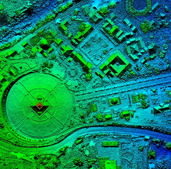
3D aerial modeling from imagery is the process of capturing high-resolution aerial images with drones, which are then processed using specialized software to create detailed 3D visual models and informational site visualizations.
This technique combines the capabilities of drone technology and photogrammetry to create reliable and reliable representations of large areas.
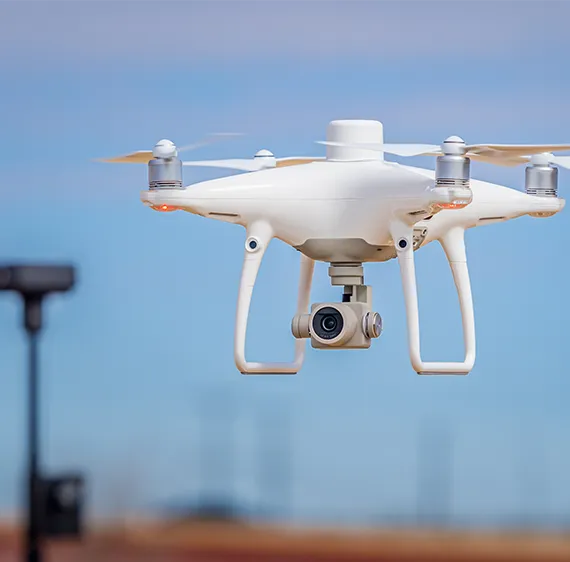
Drones equipped with high-quality cameras fly over the site, taking pictures from various angles.
The images are later stitched together, offering a comprehensive 3D map that can be used for various data capture and planning needs.
Why Drone Photogrammetry is a Game-Changer
The primary advantage of drone photogrammetry services lies in their ability to significantly reduce the time and cost associated with traditional data capture methods.
Traditional ground-based methods can be time-consuming, requiring teams to physically measure and map large areas, often leading to errors or inconsistencies.
Drone photogrammetry not only accelerates this process but also provides more detailed data.
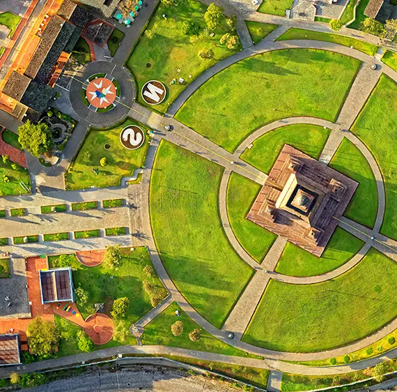
By using drones for aerial imaging, it’s possible to capture high-resolution images from multiple angles and elevations, resulting in a comprehensive visual model of the construction site for informational and coordination purposes only.
Ready to leverage the power of drone photogrammetry for your next project?
Contact us today to schedule your consultation and see how we can help you optimize your processes.
Ready to leverage the power of drone photogrammetry for your next project?
Contact us today to schedule your consultation and see how we can help you optimize your processes.
Key Benefits of Drone Photogrammetry in Site Planning
Unmatched Reliability and Reliability
One of the most notable advantages of 3D drone capture is the remarkable reliability it provides.
3D aerial modeling from imagery delivers high-resolution visual detail suitable for large-scale construction projects, land development planning, and environmental monitoring for informational purposes only.
The ability to generate reliable 3D models allows construction professionals to plan, visualize, and execute projects with confidence, knowing that they are working from detailed data.
Speed and Efficiency in Data Collection
Aerial data capture is not only faster but also more efficient compared to traditional ground-based documentation methods.
With the ability to cover large areas in a short time, drones can capture comprehensive data within hours, while conventional methods could take days or even weeks.
This efficiency not only accelerates project timelines but also reduces labor costs and minimizes disruptions to ongoing operations.
Contact us today to discuss how our drone photogrammetry services can help expedite your project timeline with highly reliable, rapid data collection.
Applications of Drone Photogrammetry Services in Construction and Infrastructure
1. For Site Planning and Design
During the early stages of construction or land development, reliable site capture is critical for efficient planning.
3D aerial modeling from imagery provides high-resolution visual models that help illustrate site terrain characteristics, existing structures, and environmental conditions for planning and visualization purposes.
These maps help project managers and architects plan designs that optimize space and align with project goals.
Furthermore, 3D models allow for a visual representation of the site, which can be invaluable for stakeholder discussions and decision-making.
2. Progress Monitoring and Quality Control
As a construction project progresses, monitoring and documenting changes in the landscape is vital.
With drone photogrammetry services, it’s easy to track site changes over time.
Drones capture real-time aerial images, allowing for reliable progress monitoring and quality control checks.
This helps ensure the project remains on schedule and that any discrepancies or delays are addressed before they become major issues.
Regular aerial data capture can also support volumetric visual estimates for planning and visualization purposes only, helping teams monitor material quantities and site activity.
Looking to enhance your construction project monitoring?
Our drone photogrammetry services offer detailed and real-time site progress updates.
Contact us today!
The Role of Drone Photogrammetry in Environmental Impact Assessments
Conducting Environmental Assessments with Drone Technology
Drone photogrammetry services are increasingly being used to collect aerial data for these assessments.
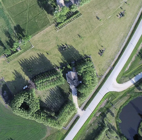
With drones, you can capture detailed imagery of the land, vegetation, and nearby water bodies.
This high-resolution data is invaluable for identifying potential environmental risks and ensuring that a project aligns with local environmental regulations.
Monitoring Environmental Changes Over Time
Once the construction process begins, monitoring the ongoing environmental impact is essential.
Drones offer a proactive solution by capturing images over time, making it easier to detect any environmental changes such as erosion or habitat disruption.
This continuous surveillance helps project managers take corrective action before issues escalate, ensuring the project remains sustainable and compliant with environmental standards.
Partner with us for expert drone data capture to support your environmental impact assessments.
Reach out today for more information!
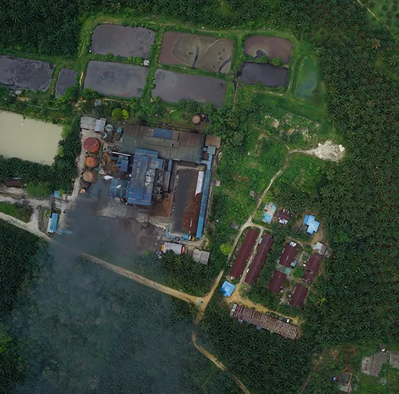
looking ahead
The Future of Drone Photogrammetry: Advancements and Trends
Integration of AI and Machine Learning in Data Analysis
The future of 3D drone capture is bright, with advancements in AI and machine learning poised to make drone photogrammetry even more efficient and reliable.
These technologies can help analyze large datasets faster, providing insights that were previously difficult to obtain.
AI-driven data processing can enhance visual analysis, support automated anomaly detection, and enable faster decision-making, ultimately improving project coordination and outcomes.
The Rise of Autonomous Drones
As drone technology evolves, autonomous drones are becoming a reality.
These self-flying drones are equipped with advanced navigation systems that allow them to perform data collection with minimal human intervention.
The rise of autonomous drones will further streamline site planning processes, allowing for faster, safer, and more cost-effective data collection in the construction industry.
Stay ahead of the curve by embracing the latest trends in drone photogrammetry.
Contact us today to learn how we can help you take advantage of these innovations.
Choosing the Right Drone Photogrammetry Service Provider
Ensure that the provider uses the latest drone models and photogrammetry software for optimal reliability and efficiency.
A reputable service provider should also offer excellent customer support, providing consultation and guidance throughout the project to ensure the best results.
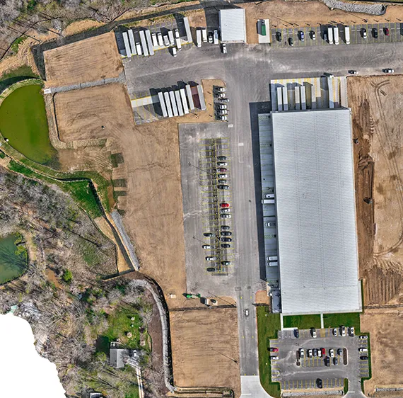
Factors to Consider When Hiring a Service Provider
Look for a provider with a strong track record in the construction industries.
Review their portfolio of completed projects to ensure they have the experience necessary to handle your unique requirements.
Additionally, ensure that their drones are equipped with high-quality cameras, capable of capturing the level of detail needed for detailed drone photogrammetry services.
Ready to work with a trusted drone photogrammetry provider?
Contact us now to get started and see how we can enhance your next project with our expert services.
Frequently Asked Questions (FAQs)
We offer Aerial Imaging, Construction Site Monitoring, Structural Inspection Services, and more across the following locations:
Fremont, Fresno, Gilroy, Modesto, Monterey, Morgan Hill, Oakland, Sacramento, Salinas, San Francisco, San Jose, Santa Cruz, Stockton, Watsonville, Santa Clara County, Northern California, and the surrounding areas.
Disclaimer:
Aeroskape, LLC does not provide Professional Land Surveying services. Aeroskape’s services do not include the determination of property boundaries, contours, monuments, or the authoritative position of land or fixed objects as defined under California Business & Professions Code §8726. All deliverables are provided for planning, visualization, documentation, and informational purposes only. When survey-grade or legal deliverables are required, clients should consult a licensed Professional Land Surveyor (PLS).