
Aerial LiDAR Data Capture.
Aerial LiDAR Services for Site Visualization and Analysis
Aeroskape provides LiDAR data capture to generate dense point clouds that support visualization and general analysis of site conditions.
These outputs help teams understand surface features, document project status, and support planning workflows.
Aeroskape does not establish survey control and does not provide certified or survey-grade deliverables. When licensed surveying services are required, clients should engage a Professional Land Surveyor (PLS).
When efficiency and high-resolution visualization matter most, aerial LiDAR services give you the confidence to move forward with reliable data.
This technology is transforming the way industries handle reality capture, and site analysis. Using airborne or drone-mounted sensors, LiDAR (Light Detection and Ranging) captures millions of laser points across a site to create high-resolution 3D models of landscapes, vegetation, and built environments.
Traditional survey methods often require weeks of manual work, can put workers at risk in hazardous locations, and may leave gaps in site visibility.
Aerial LiDAR data capture addresses these challenges by covering large areas in minutes while delivering high-density point clouds for detailed visualization purposes only.
For construction managers, government planners, engineers, and environmental specialists, this means faster decisions, fewer errors, and safer operations.
Whether your project involves designing transportation corridors, conducting floodplain analysis, or monitoring urban expansion, aerial LiDAR provides the insights required to reduce risks and improve outcomes.
The technology integrates seamlessly with GIS and CAD systems, giving you actionable data in formats that work directly with your planning and design workflows.
Aeroskape specializes in aerial LiDAR services using advanced drone technology to capture high-resolution data.
Our aerial LiDAR solutions are designed for professionals in construction, civil engineering, utilities, and environmental sectors who require fast, high-resolution, and cost-effective terrain and structure data.
Ready to enhance your project with reliable aerial LiDAR services?
Contact our team today to schedule a consultation.
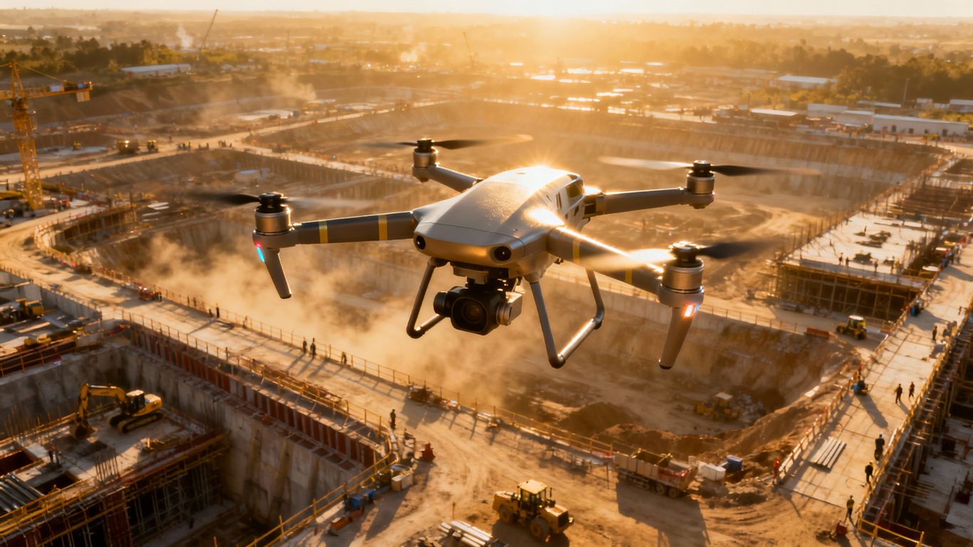
What Is Aerial LiDAR?
Aerial LiDAR (Light Detection and Ranging) is a remote sensing method that uses pulsed laser light emitted from a drone to capture variable distances to the ground.
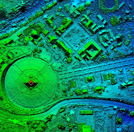
These data points produce detailed 3D point clouds, enabling the creation of Digital Elevation Models (DEMs), Digital Terrain Models (DTMs), Digital Surface Models (DSMs), and derived surface visualizations for informational use only.
Unlike photogrammetry, LiDAR penetrates vegetation to provide detailed ground surface visualization data, making it ideal for dense, uneven, or vegetated landscapes.
Why Choose Our Drone LiDAR Services?
Aerial LiDAR Services Overview
Surface Visualization Data & Terrain Modeling
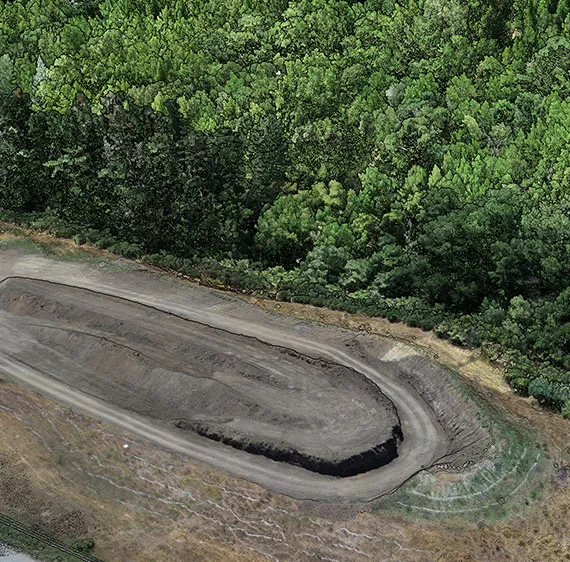
- Earthwork and Cut/Fill Volume Visual Estimates (Planning & Visualization Only)
- Utility Corridor & Powerline Visualization
- Floodplain Analysis & Hydrological Modeling
- Slope Analysis & Grading Plans
- Vegetation Management & Forest Inventory
Industries We Serve
Construction & Site Development
Civil Engineering
Utilities & Energy
Transportation & Infrastructure
Environmental & Land Management
Municipal & Government Planning
What You’ll Receive
We deliver processed LiDAR data in industry-standard formats such as .LAS, .LAZ, .DXF, .DWG, GeoTIFF, and more-fully compatible with GIS and CAD platforms.
Note: Aeroskape provides aerial data acquisition and processing services. When projects require licensed interpretations or certified deliverables – such as project area coverage or engineered site plans – we collaborate with licensed land surveyors and professional engineers to ensure full compliance with state regulations.
Typical Deliverables Include:
3D Point Clouds
Digital Terrain Models (DTM)
Digital Surface Models (DSM)
Contour Lines (1ft, 2ft, or custom intervals)
Orthomosaics (optional photo overlay)
Feature Extraction (roads, structures, vegetation)
Benefits of Aerial LiDAR Services for Modern Projects
The demand for aerial LiDAR services continues to grow because of the measurable benefits they deliver.
Projects across California rely on LiDAR for speed, detail, and safety—all of which directly impact budgets and timelines.
Improved Efficiency with Aerial LiDAR Services
Time is one of the biggest costs in any project. Aerial LiDAR services dramatically shorten the time needed to gather site data.
Instead of spending weeks with ground crews, a single drone or aircraft flight can collect all the required information in a few hours.
This efficiency means stakeholders can review results faster, adjust plans sooner, and keep projects moving without costly downtime.
Superior Detail in Site Analysis
Even small errors in site data can lead to expensive rework later.
LiDAR delivers dense point clouds with high-resolution detail, capturing subtle surface elevation variations for visualization purposes only.
This allows engineers to plan earthworks, drainage systems, and infrastructure placement with confidence.
High-resolution detail reduces mistakes, ensures better compliance with design specifications, and helps projects finish on schedule.
Enhanced Safety in Data Collection
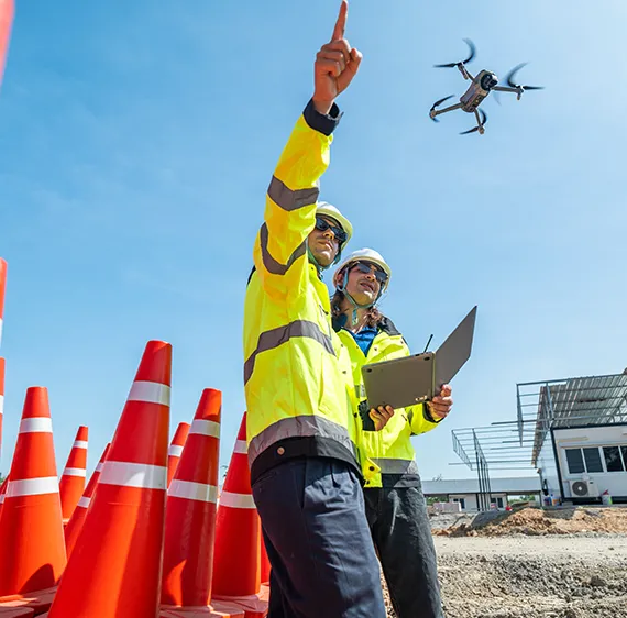
Documenting rugged terrain, construction zones, or areas with heavy traffic can be dangerous. Aerial LiDAR reduces the need for ground crews to physically access risky locations.
By capturing data from above, teams stay safe while still receiving comprehensive coverage of the site.
This combination of safety and efficiency makes LiDAR a preferred choice for industries operating in challenging environments.
Want to reduce project delays and improve site analysis detail?
Book aerial LiDAR services with our experts today.
Applications of Aerial LiDAR Services.
The versatility of aerial LiDAR services makes them valuable across numerous sectors. From urban planning to forestry management, LiDAR data helps organizations solve complex challenges with reliable insights.
Looking for reliable LiDAR data to support infrastructure or environmental projects?
Contact us today to learn more about our aerial LiDAR services.
Infrastructure Planning and Design
Infrastructure projects like roads, highways, and utility corridors require detailed elevation models to ensure proper grading and alignment.
Aerial LiDAR data provides engineers with detailed surface and structural context data.
This reduces the risk of unexpected challenges during construction and improves long-term project performance.
Environmental and Floodplain Studies
Environmental specialists use LiDAR to study watersheds, monitor erosion, and model flood risks.
The technology provides a clear picture of terrain and vegetation coverage, making it easier to predict how water will move through landscapes.
This information supports flood mitigation planning and environmental conservation efforts.
Urban Development and Land Use Planning
Cities use aerial LiDAR services to track growth, update zoning models, and plan future developments.
By analysing changes in terrain and land use, municipalities can make informed decisions about infrastructure investment, environmental impact, and community growth.
How Aerial LiDAR Services Work
Understanding the process behind aerial LiDAR services helps clients see how data is captured and transformed into actionable insights.
Data Collection Using Drone or Aircraft Systems
Aircraft or drones equipped with LiDAR sensors fly over the project site, sending out laser pulses that bounce back from the ground and structures.
These return signals are recorded to capture distances with high-resolution detail.
Millions of such data points are collected during a single flight.
Processing and Modelling Data
After collection, the raw data is processed to remove noise and classify objects such as buildings, vegetation, and ground surfaces.
This processing results in highly detailed digital elevation models (DEMs), contour visualizations, and 3D visualisations tailored to the client’s needs.
Delivering Actionable Insights
Once processed, the data is delivered in formats compatible with GIS, CAD, or BIM software.
This ensures the information is ready to use immediately for design, planning, or monitoring purposes.
Clients benefit from detailed, practical insights without needing additional conversion or formatting.
Why Choose Our Aerial LiDAR Services?
Choosing the right provider for aerial LiDAR services is essential for reliable results and dependable support.
Partner with us for aerial LiDAR services that deliver reliable results, useful insights, and improved project outcomes.
Industry Expertise and Certifications.
With industry-recognized certifications, we ensure safe, compliant operations that meet strict California and FAA regulations.
Clients can trust that every project is handled by trained professionals.
Advanced Technology and Equipment
Our equipment performs reliably across challenging conditions, including forested areas and rugged terrain.
Integration with Client Workflows
Our LiDAR outputs are delivered in client-ready formats, ensuring smooth integration with engineering, construction, or planning software.
This reduces time spent on conversion and maximises usability.
Technology We Use
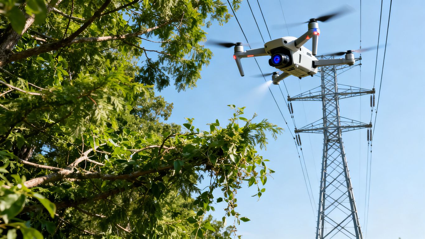
Our fleet includes professional-grade drone LiDAR systems with integrated GNSS and IMU sensors for maximum detail.
We use industry-leading post-processing tools to ensure clean, classified data ready for analysis.
Whether you’re preparing for construction, assessing terrain, or managing infrastructure, Aeroskape delivers LiDAR drone data you can trust.
Based in Northern California, we serve projects statewide and beyond.
Contact us today to learn how our aerial LiDAR services can accelerate your project
Outcomes You Can Expect from Aerial LiDAR Services.
Investing in aerial LiDAR services leads to measurable outcomes that benefit both day-to-day operations and long-term project success.
Faster Project Timelines
Rapid data collection means less downtime and quicker decisions.
This speed allows teams to adapt faster to challenges and maintain steady project progress.
Cost Savings on Site Documentation and Rework
Detailed LiDAR data reduces errors and prevents costly rework.
Efficient material planning, correct grading, and volume visual estimates save money across the project lifecycle.
Support for Compliance and Reporting
With timestamped, Georeferenced records, aerial LiDAR services provide the documentation required for regulatory submissions, internal audits, and stakeholder reporting.
What’s ahead
Future of Aerial LiDAR Services
The future of aerial LiDAR services is bright as technology continues to evolve.
Real-Time Analytics for Better Decision-Making
Emerging LiDAR systems will connect directly to analytics platforms, providing real-time site data.
Teams will be able to track progress and make decisions instantly.
Expanding Role in Sustainable Development
As sustainability becomes a key focus, aerial LiDAR helps reduce waste and improve resource allocation.
Detailed data support environmentally responsible planning and green building practices.
Frequently Asked Questions
We offer Aerial Imaging, Construction Site Monitoring, Structural Inspection Services, and more across the following locations:
Fremont, Fresno, Gilroy, Modesto, Monterey, Morgan Hill, Oakland, Sacramento, Salinas, San Francisco, San Jose, Santa Cruz, Stockton, Watsonville, Santa Clara County, Northern California, and the surrounding areas.
Disclaimer:
Aeroskape, LLC does not provide Professional Land Surveying services. Aeroskape’s services do not include the determination of property boundaries, contours, monuments, or the authoritative position of land or fixed objects as defined under California Business & Professions Code §8726. All deliverables are provided for planning, visualization, documentation, and informational purposes only. When survey-grade or legal deliverables are required, clients should consult a licensed Professional Land Surveyor (PLS).