Cost of drone inspection vs traditional inspection: A practical cost comparison guide
Key Takeaways
The cost of drone inspection vs traditional inspection depends on much more than the quoted flight or labor rate. The right comparison includes access, downtime, safety, data needs, and the value of receiving usable information quickly.
- Drone inspections can reduce access equipment, setup time, and worker exposure on suitable sites.
- Traditional inspections remain necessary when defects require physical contact, probing, or specialized testing.
- Pricing may be hourly, daily, per asset, per square foot, fixed fee, or subscription-based.
- Processing, reporting, travel, airspace planning, and repeat visits can materially change the final cost.
- A hybrid approach often provides the best balance of aerial coverage and hands-on verification.
Understanding the main cost drivers
Inspection pricing is shaped by the work surrounding the inspection, not simply by the aircraft in the air. A small, accessible asset may need only a short visual capture, while a large or complex site can require detailed planning, specialized sensors, more processing, and a carefully structured report. Comparing methods fairly means accounting for the full workflow from preparation through delivery.
Equipment, labor, and operator expertise
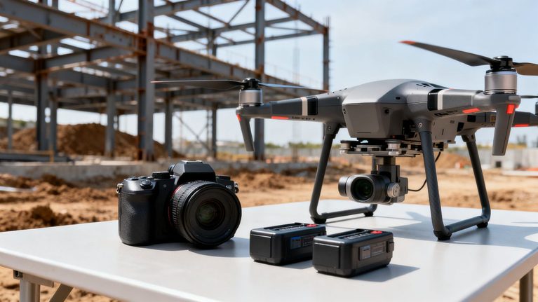
A drone inspection quote commonly reflects aircraft, cameras, batteries, software, insurance, maintenance, and the time of the pilot or inspection team. Operator expertise matters because safe flight planning and useful image capture require more than basic piloting. The team must understand the asset, maintain appropriate standoff distances, manage changing conditions, and collect evidence that can support a practical decision.
Traditional inspections also include equipment and labor, although those costs may appear in different places on the proposal. An inspector may need ladders, lifts, harnesses, specialized tools, or additional personnel. The most useful quote makes these inputs visible rather than presenting an artificially narrow field rate.
Travel, access, and setup requirements
Travel time, mobilization, parking, site induction, permits, and pre-inspection coordination can influence either method. A drone may reduce physical access work, but it still requires a suitable launch area, a safe operating plan, and compliance with applicable aviation and site rules. Remote or restricted properties may also require more planning than a simple local flight suggests.
For traditional work, access can become the dominant expense. A difficult roof, tall facade, bridge underside, or operating industrial area may require equipment delivery and a crew to establish a safe work zone before inspection begins. Those preparations should be included when comparing the total cost rather than treated as unrelated project overhead.
Inspection scope, site size, and asset complexity
Scope determines how much capture and review are needed. A single visual check is different from a complete record of multiple elevations, recurring progress documentation, thermal imagery, measurements, or asset-by-asset reporting. Site size affects flight time, battery changes, image volume, and the amount of data a reviewer must organize.
Complexity can also favor a mixed workflow. A drone may efficiently document broad conditions, while a specialist verifies a small number of suspected defects at close range. This avoids paying for intensive access across an entire site when only a few locations need hands-on attention.
Data processing, reporting, and storage costs
Raw imagery is rarely the final deliverable a project team needs. Processing may include image organization, mapping, model creation, thermal review, measurements, annotations, and a report that connects findings to locations. Storage and access requirements matter too, especially when inspections are repeated over months or must be shared with owners, engineers, contractors, and insurers.
A provider should explain what is included: capture only, edited photographs, mapped outputs, a written report, or a more structured data package. Aeroskape’s Commercial Drone Inspection service is described as providing high-resolution imagery, terrain visualization, and 3D aerial modeling for construction projects, so a buyer should ask which deliverables apply to the specific scope rather than assume every project receives the same output.
Comparing typical pricing models
There is no universal inspection price because providers package the work in different ways. An hourly rate may look attractive for a short visit but exclude processing or travel. A fixed fee may be easier to budget, while a subscription can make sense when the same asset must be reviewed repeatedly. The proposal should make the unit of pricing and included deliverables easy to compare.

Per-hour and per-day inspection rates
Hourly and daily rates are common when the scope may change during the visit or when several nearby assets will be captured together. They can work well for exploratory work, but the buyer should confirm whether the clock starts at arrival, setup, launch, or actual image capture. Ask separately about travel, waiting time, weather delays, and post-processing.
This model is most useful when the inspection plan is flexible and the client can define a clear stopping point. Otherwise, a low field rate can create an uncertain final bill once mobilization and reporting are added.
Per-asset and per-square-foot pricing
Per-asset pricing creates a direct relationship between the number of roofs, poles, panels, structures, or other units and the invoice. Per-square-foot pricing can be practical for large, consistent surfaces, but it may not capture obstacles, height, restricted access, or the difference between a basic image set and a detailed analysis.
The buyer should ask whether minimum charges apply and whether unusually complex assets are priced separately. A rate based on area is not necessarily comparable to a rate that includes a complete report and annotated findings.
Fixed-fee inspection packages
A fixed-fee package gives a project team a clearer budget when the scope is well defined. It may include planning, flight operations, a specified number of assets, processing, and a report. The value depends on the boundaries: vague language around revisions, additional flights, or deliverable formats can make an apparently simple package difficult to evaluate.
A strong package states what happens if weather prevents capture or if the initial imagery reveals an area that needs a closer look. Those terms help both sides avoid surprises without turning every change into a dispute.
Ongoing monitoring and subscription plans
Recurring inspections can be priced monthly, quarterly, or by an agreed number of site visits. This approach is useful for construction progress, maintenance programs, inventory changes, and assets where trend information matters more than a single snapshot. It can also reduce repeated procurement and planning effort.
Before choosing a subscription, confirm how changes in site size, reporting needs, weather, and access restrictions affect the price. A recurring plan is worthwhile when the data will influence decisions regularly, not simply because the monthly rate appears lower.
Cost comparison by inspection type
The inspection type changes the cost balance considerably. A roof visual review has different access issues from a bridge assessment, while a solar program may depend on sensor selection and the number of panels or sites. The table below offers a framework for comparing cost categories, not a universal price list.
Roof and building inspections
Drone imagery can document roof surfaces, walls, equipment, and other exterior conditions without putting an inspector on every difficult surface. The final cost depends on building height, roof geometry, obstructions, image detail, thermal requirements, and whether the client needs measurements or only photographs. A useful comparison also includes ladder, lift, or rooftop access costs in the traditional estimate.
For general background on scope and pricing variables, this drone roof inspection guide is a relevant external reference. It should be treated as background rather than as a quote for a particular property.
Construction site progress inspections
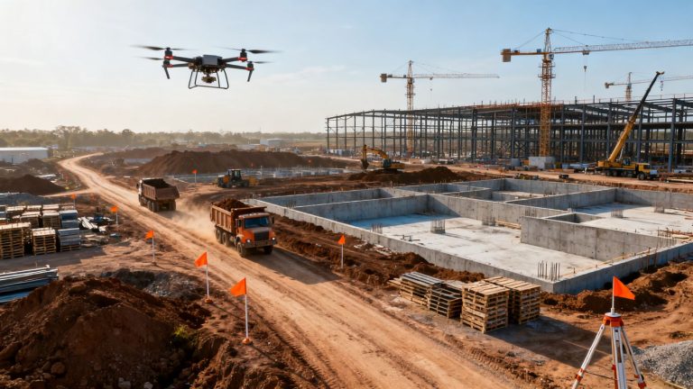
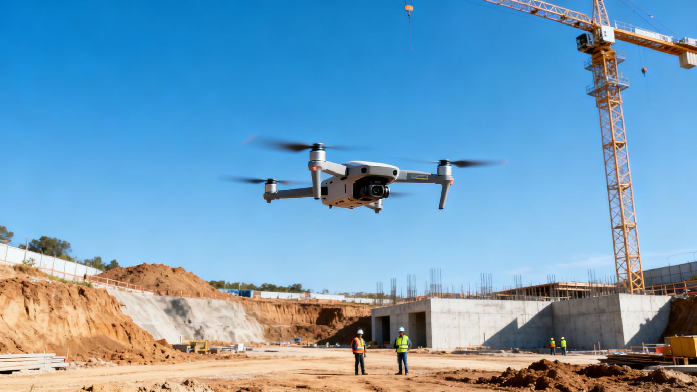
Construction teams often value regular, repeatable capture because conditions change quickly. Aerial imagery can support progress records, coordination, visual communication, and review of areas that are inconvenient to inspect on foot. Costs rise with site size, visit frequency, required mapping, and the level of organization expected in the final data.
A recurring program may be less expensive in practical terms when it helps identify issues early, reduces unnecessary site walks, and gives remote stakeholders a consistent view. The benefit is strongest when the information is connected to actual scheduling, coordination, or quality decisions.
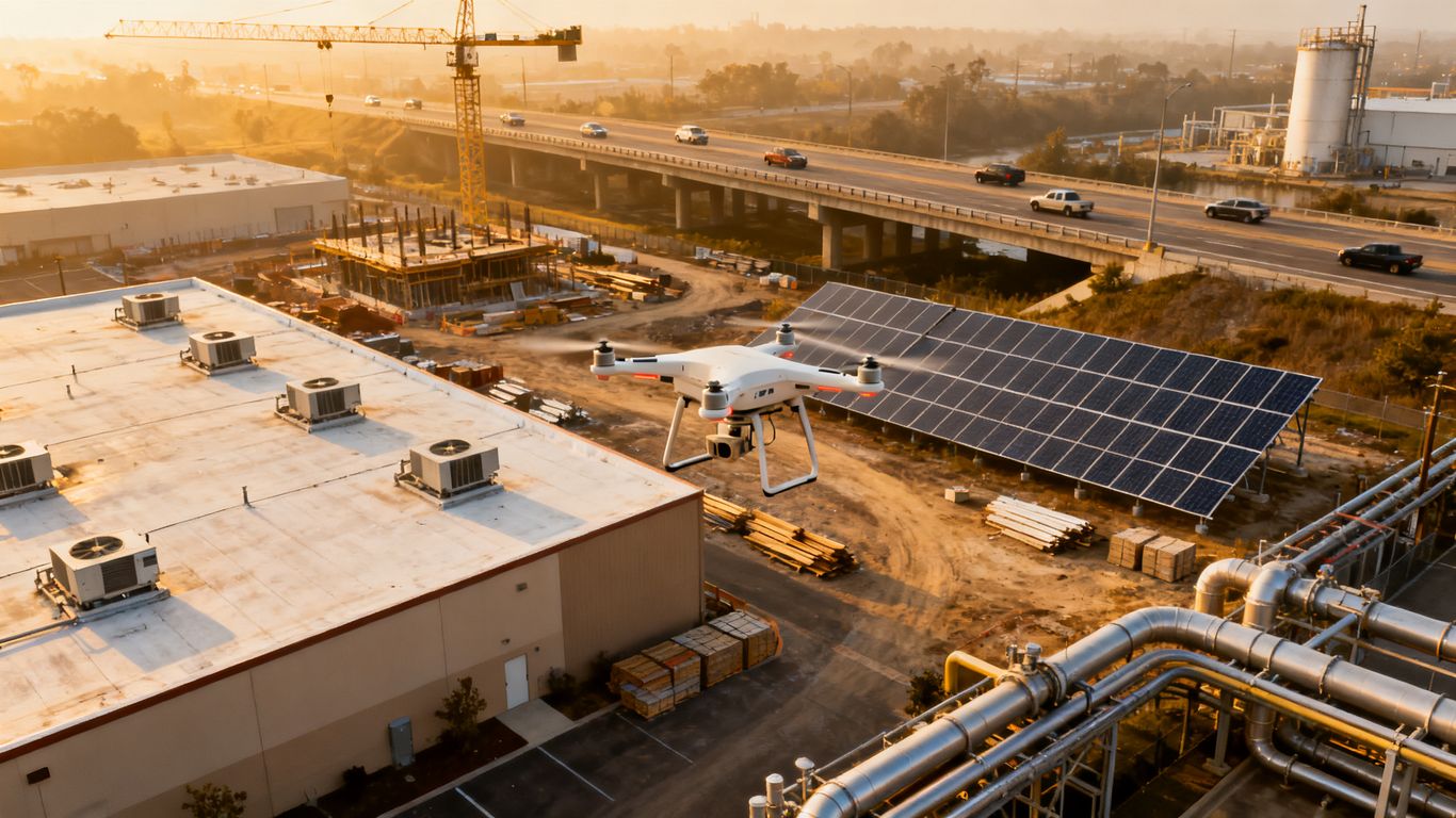
Solar panel and industrial asset inspections
Solar and industrial inspections may require thermal and RGB data, careful sensor operation, and analysis by people who understand what the imagery can and cannot show. Aeroskape’s Thermal Drone Inspections service describes high-resolution thermal imagery for identifying heat anomalies, water infiltration, energy loss, faulty electrical systems, and compromised insulation. The proposal should specify whether thermal capture, interpretation, and reporting are included.
The number of assets and the desired level of defect documentation usually matter more than flight time alone. A broad screening inspection and a detailed maintenance report are different services, even if both use a drone.
Bridges, towers, and other infrastructure
Infrastructure inspections can involve height, traffic control, restricted areas, complex geometry, and strong documentation requirements. Drone capture may reduce the need for extensive access equipment, but the work still requires careful planning and may need additional inspection methods for structural conclusions. Costs should reflect the level of detail, sensor type, access constraints, and review process.
For bridge-related planning, this overview of bridge inspection services fits the topic because it discusses drone-based data such as LiDAR scans and thermal imaging. Any project team should still confirm the applicable engineering, owner, and regulatory requirements before relying on a particular deliverable.
A simple comparison matrix can help separate the main cost categories:
| Inspection type | Drone cost drivers | Traditional cost drivers | Common decision factor |
|---|---|---|---|
| Roof or building | Capture area, height, processing, thermal needs | Ladders, lifts, access labor, rooftop time | Exterior coverage and access risk |
| Construction site | Visit frequency, mapping, reporting, site size | Site walks, travel, coordination time | Timely progress information |
| Solar or industrial | Sensor choice, asset count, analysis, reporting | Crew size, shutdowns, manual access | Coverage and maintenance priority |
| Bridge or tower | Airspace, geometry, traffic controls, detail level | Rope access, lane closures, specialized equipment | Safety and disruption |
The matrix is most useful when each row is filled with project-specific assumptions. It prevents a low flight price from being compared with a traditional estimate that includes every access and safety cost.
Direct and hidden costs of traditional inspections
Traditional methods remain valuable, but their quoted price may not capture every consequence of physical access. Equipment staging, worker protection, traffic control, and production interruptions can appear in separate budgets. These costs are especially significant when the inspection is repeated or the asset is difficult to reach.
Scaffolding, lifts, and rope-access equipment
Access equipment can be a major line item for tall buildings, elevated structures, roofs, towers, and industrial facilities. Delivery, assembly, operation, removal, and inspection of the equipment all add time. Rope access may reduce some staging requirements, but it still involves specialized personnel, planning, and exposure to work at height.
Aerial capture may reduce the amount of equipment needed for a visual review, although it does not automatically replace access for every defect or testing requirement. The fair comparison is between the complete access plan and the complete aerial workflow.
Site closures and production downtime
A traditional inspection may require a lane closure, restricted work area, equipment shutdown, or separation from active operations. Even a short interruption can carry a meaningful cost when crews, customers, vehicles, or production lines are affected. That cost belongs in the inspection decision because it is caused by the chosen method.
A drone operation can also require a controlled area and coordination, but the disruption may be narrower depending on the site. The provider should explain the proposed operating boundary, timing, and any restrictions so the operations team can plan realistically.
Safety procedures and worker exposure
Safety planning is essential for both methods, but traditional access can place people closer to fall hazards, traffic, energized equipment, or unstable surfaces. Additional personnel and protective systems may be necessary. These measures are not waste; they are responsible operating costs, and they should be included in a serious comparison.
Aerial inspection can reduce exposure in suitable situations by allowing personnel to remain on the ground during visual data capture. It does not eliminate all site risk, however, and it must still be conducted under an appropriate flight and safety plan.
Repeat visits and limited visual coverage
Physical inspections may be constrained by the time and expense required to reach every area. As a result, teams may inspect selected locations and return only when a concern becomes more evident. That can leave gaps in the record and make changes harder to compare across time.
A repeatable aerial workflow can broaden visual coverage and create a more consistent record, provided the capture plan and reporting standards remain stable. The savings are not only in the individual visit; they may also come from finding issues before they require a larger response.
Where drone inspections can reduce costs
The strongest financial case for drones usually comes from the total workflow rather than a cheap flight rate. Aerial capture can reduce time spent moving people and equipment, limit disruption, and make repeat documentation easier. Those benefits matter most when the site is large, elevated, hazardous, or frequently changing.
Faster data collection across large areas
A drone can capture a broad exterior area in a relatively short field visit, subject to weather, airspace, and site conditions. That can be useful for long roofs, construction sites, stockpiles, solar fields, and linear infrastructure. Faster capture does not necessarily mean instant answers; processing and review still take time, but the field portion may be more efficient.
For teams managing changing sites, organized aerial data can reduce the delay between a condition occurring and decision-makers seeing it. This is where Drone-as-a-Service can fit recurring construction monitoring needs, since the documented service is positioned around project monitoring, site analysis, safety, high-resolution imagery, and real-time data.
Fewer personnel and less specialized access equipment
When a visual inspection can be performed from the ground with an aircraft operating above or around the asset, the project may need fewer access specialists and less heavy equipment. The exact reduction depends on the site plan, required sensors, and whether a follow-up visit is needed.
The practical question is not whether a drone eliminates every person or every piece of equipment. It is whether the aerial workflow reduces the amount of specialized access required for the portion of the inspection that can be completed remotely.
Lower disruption to operations
Aerial capture may allow an owner to keep more of a site operating during inspection, particularly where climbing, lifting, or lane closures would otherwise interfere with work. This can be valuable at active construction sites, industrial facilities, and transportation assets. Coordination is still necessary, and a drone operation should never be treated as an excuse to ignore site controls.
When disruption is reduced, the benefit can extend beyond the inspection invoice. Crews may avoid idle time, deliveries may continue, and managers may not need to reschedule related work around a long access setup.
Easier repeat inspections and historical comparisons
Repeatable flight plans and consistent reporting can make it easier to compare conditions over time. That supports maintenance planning, progress documentation, and conversations about whether a condition is new, stable, or changing. It also reduces the need to reconstruct what an earlier inspection team saw from memory.
The quality of the comparison depends on consistent capture, useful file organization, and clear dates and locations. Historical value is created by a dependable process, not merely by storing a large collection of photographs.
Evaluating quality, accuracy, and limitations
Cost savings matter only when the inspection answers the question the project team is asking. Drone imagery can be detailed and useful, but it has limits related to line of sight, lighting, weather, sensor capability, and the nature of the suspected defect. A low price is poor value if the work must immediately be repeated using another method.
When drone imagery is sufficient
Drone imagery is often suitable for visual documentation of accessible exterior surfaces, progress conditions, apparent damage, site changes, and areas where a close visual record is the main need. It can also help a team prioritize where a more intensive review should occur. The provider should describe the expected resolution, coverage, and deliverable rather than promise an unlimited level of detail.
The right question is whether the imagery supports the decision at hand. If a project manager needs to confirm visible progress across a large site, aerial data may be enough. If an engineer needs to determine material strength, the answer will be different.
Situations requiring hands-on or specialized testing
Physical access may still be necessary for probing, sampling, tactile evaluation, nondestructive testing, component operation, or close verification of a suspected defect. Some findings cannot be confirmed from an image, regardless of image quality. Engineering judgments and regulatory requirements may also call for methods beyond aerial observation.
A responsible scope states what the drone inspection does not establish. It should not be presented as professional land surveying or as a substitute for a licensed Professional Land Surveyor where survey-grade or legal deliverables are required.
Weather, airspace, and site-access constraints
Wind, rain, poor visibility, extreme temperatures, nearby airports, temporary flight restrictions, and crowded work areas can affect scheduling. Urban sites and active facilities may require additional coordination or authorization. These factors can create a second visit, so a quote should explain how weather delays and access changes are handled.
Traditional methods have constraints too, including unsafe surfaces, traffic, production schedules, and equipment availability. Comparing reliability means considering which method is more workable under the actual site conditions, not assuming that either one is always available.
Data accuracy, documentation, and reporting standards
Accuracy depends on the purpose of the inspection and the process used to capture and review the data. A visual record, a map, a model, a thermal image, and a measured engineering deliverable each have different requirements. Ask how locations are identified, how files are named, how findings are reviewed, and what quality checks are performed.
A report should make the result usable for the intended audience. Clear annotations, dates, viewpoints, limitations, and recommended follow-up can be more valuable than a large but unorganized image archive.
How to calculate the better-value inspection method
A practical comparison begins with two complete scopes, not two headline prices. List everything required to collect the information, make it usable, and act on it. Then consider costs that appear in operations, safety, scheduling, and later maintenance rather than only in the vendor invoice.

Estimating the total cost of a drone inspection
Start with the proposed field rate or package, then add travel, planning, permits or authorizations if applicable, specialized sensors, processing, reporting, storage, and any expected follow-up. Confirm whether the quote includes a pilot, observer, data reviewer, and revisions. If the site is large or recurring, estimate the cost per visit and across the full inspection period.
A useful estimate also assigns a reasonable contingency for weather or access changes. The goal is not to inflate the number; it is to avoid comparing a complete traditional workflow with an incomplete aerial one.
Calculating the full traditional inspection cost
For the traditional option, include inspector labor, travel, access equipment, setup and removal, safety systems, traffic control, shutdowns, escorts, reporting, and repeat visits. If internal staff must coordinate the work or supervise a closure, include that time where it is material. Production or schedule impacts should be recorded separately so they are not lost in a general overhead category.
This exercise often reveals that the visible inspection fee is only one part of the cost. It also makes the decision easier to explain to procurement, operations, safety, and project leadership.
Measuring downtime, safety, and risk-related savings
Some benefits are easier to estimate than others. Downtime can be calculated from affected hours and the cost of delayed work. Access savings may come from avoided equipment rental or reduced crew time. Safety value is harder to place in a single number, but reduced exposure and fewer complex access activities remain relevant decision factors.
The estimate should stay honest and avoid claiming that every drone visit prevents an incident or eliminates a future repair. Use conservative assumptions and distinguish direct savings from possible benefits.
Comparing upfront price with long-term return on investment
A method with a higher initial quote can still be better value if it produces more usable information, avoids disruption, or supports earlier action. Conversely, a drone inspection is not automatically economical if the output cannot answer the technical question or requires immediate duplicate testing. Compare the cost per decision supported, not only the cost per flight.
For recurring programs, consider the value of consistent history, faster review, and fewer avoidable return trips. A simple spreadsheet with assumptions for visit frequency, downtime, access equipment, processing, and follow-up can make the tradeoff visible.
Choosing the right inspection approach
The best method depends on the asset, the question, the consequences of missing a defect, and the deliverable required. Drone inspection and traditional inspection are not always competing choices; often, one provides broad coverage while the other confirms selected findings. Good providers will define those boundaries clearly.
When a drone-only inspection makes sense
A drone-only visual inspection may be appropriate when the asset is suitable for remote observation, the site can support safe flight, and the deliverable does not require physical testing or survey-grade legal work. It can be especially practical for broad exterior coverage, progress documentation, or an initial condition review.
The scope should still state the limitations and the expected level of detail. If the purpose is clear and the output matches it, a drone-only workflow can be efficient without being oversold.
When traditional inspection remains necessary
Traditional inspection remains necessary when hands-on evaluation, sampling, testing, operation of equipment, or close contact with a material is central to the question. It may also be required by an owner, engineer, regulator, insurer, or asset-management standard. Difficult flight conditions can make a physical approach the more reliable option on a particular day.
That does not make aerial data irrelevant. Drone imagery may still help plan the work, identify priority areas, or document conditions before and after hands-on inspection.
When a hybrid inspection delivers the best value
A hybrid approach begins with aerial capture across the asset and follows with focused physical inspection where the imagery indicates a concern. This can reduce the area requiring lifts, rope access, or shutdowns while preserving the ability to confirm important findings directly. It is often a sensible choice for large or complex infrastructure.
The provider and technical lead should agree in advance on what triggers follow-up. Clear escalation criteria keep the workflow efficient and prevent a broad visual inspection from being mistaken for a complete structural or engineering assessment.
Questions to ask inspection providers before hiring
Before accepting a proposal, ask questions that expose the full scope and the practical limits of the service. A short list can make competing quotes much easier to compare:
- What exactly is included in capture, processing, reporting, and storage?
- Which access, airspace, weather, and site conditions could change the price?
- What equipment, sensors, qualifications, insurance, and safety planning apply?
- Which findings can the deliverable support, and which require hands-on follow-up?
- How will files, locations, limitations, and repeat inspections be documented?
The answers should be specific to the asset and decision, not just a general description of drone technology. That level of detail is the best protection against paying for data that does not fit the project.
Conclusion
The cost of drone inspection vs traditional inspection is best judged as a complete operational decision: include access, labor, downtime, safety, data processing, reporting, and the value of timely information, then choose the method—or combination of methods—that answers the project question responsibly; teams ready to discuss a practical scope can request a quote.
Frequently Asked Questions
Is a drone inspection always cheaper than a traditional inspection?
No. Drones can reduce access, labor, and disruption costs in suitable situations, but specialized sensors, complex airspace, processing, or follow-up testing can increase the total. The correct comparison uses complete scopes for both methods.
What factors have the biggest effect on drone inspection cost?
Site size, asset complexity, travel, access conditions, flight planning, sensor requirements, reporting detail, and repeat frequency commonly affect the price. Weather and airspace constraints may also require additional planning or visits.
What costs are often missed in traditional inspections?
Commonly overlooked items include scaffolding, lifts, rope-access crews, traffic control, shutdowns, escorts, setup time, worker safety systems, and lost production time. Repeat visits and limited coverage can add further expense.
Can drone imagery replace a hands-on inspection?
Sometimes it can replace a visual access task, but it cannot replace every physical evaluation. Probing, sampling, nondestructive testing, material assessment, and certain engineering or regulatory requirements may still require hands-on work.
How should inspection providers present their prices?
A useful proposal identifies the pricing model, included area or assets, field work, travel, processing, reporting, storage, revisions, weather terms, and follow-up conditions. It should also state limitations and any assumptions that could change the final cost.
Are recurring drone inspections better than one-time inspections?
Recurring inspections can provide better value when conditions change regularly or when historical comparisons support maintenance and project decisions. They are less useful when the asset has a one-time need and no practical reason for continued monitoring.
When is a hybrid inspection the best choice?
A hybrid inspection is often suitable when aerial imagery can cover a large area efficiently but selected locations need physical confirmation. It can reduce extensive access work while preserving the hands-on evidence required for important findings.