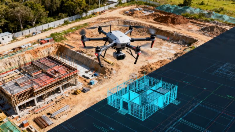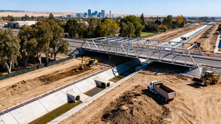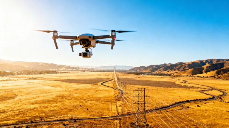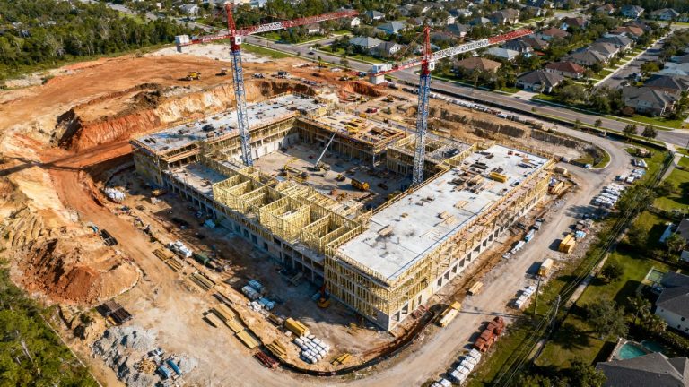
Drone surveying for levee inspection in Stockton: A practical guide for safer, smarter assessments
Key Takeaways
A well-planned drone inspection can make levee conditions easier to document, compare, and discuss. It should support—not replace—the judgment of qualified inspectors and engineers.
- Define the levee segment, inspection questions, and intended deliverables before flying.
- Match RGB, LiDAR, thermal, or specialty sensors to the site conditions.
- Use repeatable flight paths, accurate positioning, and clear anomaly records.
- Treat aerial findings as decision support, not a substitute for every ground investigation.
- Choose a provider that delivers organized data in formats your team can use.
Understanding the role of drone surveying in levee inspection
Levees are working infrastructure, exposed to water, weather, vegetation, traffic, animals, and changing ground conditions. Drone surveying for levee inspection stockton projects can provide a broad visual record without asking crews to walk every difficult or hazardous area first. The strongest inspection programs combine aerial information with field verification and engineering judgment.
Why Stockton levees require regular monitoring
Stockton’s levee environment includes waterways, developed areas, access roads, and long linear embankments. Conditions can change gradually through settlement, erosion, seepage, vegetation growth, or damage around drainage features, so a single inspection is only a snapshot. Regular monitoring creates a useful history and helps teams distinguish a new anomaly from an older, stable condition.
A practical program also considers timing. A survey after unusual rainfall, high-water conditions, construction activity, or maintenance work may answer a different question than a routine seasonal flight.
How aerial data complements ground inspections
A drone can cover a long alignment efficiently and give inspectors a consistent perspective across slopes, crests, and adjacent areas. High-resolution imagery can help a field team identify where closer examination is worthwhile, while mapped outputs make it easier to discuss the same location with operations staff, engineers, and decision-makers.
San Joaquin County’s public safety drone program has also used aerial footage to help engineers review potential issues in a levee system, illustrating how remote observation can support—not replace—professional review. For broader project context, Stockton aerial imaging can help teams think about how visual data fits into local construction and infrastructure workflows.
Inspection issues drones can help identify
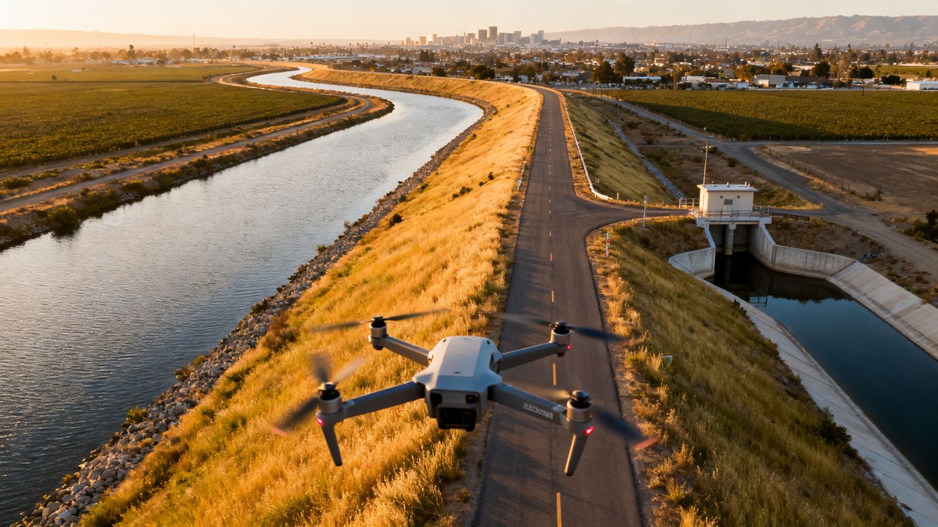
Aerial imagery may reveal bare or disturbed soil, rilling, animal activity, unwanted vegetation, ponding, blocked drainage, damaged access roads, and changes around structures. Oblique views are particularly useful for understanding slope faces and transition areas that are hard to interpret from a single ground-level photograph.
The value comes from location and comparison, not just image quality. Each observation should be tied to a map position, capture time, viewing direction, and a short description of what still needs to be checked in the field.
![Aerial drone view of Stockton levee corridor]
When drone surveying is not enough
Aerial data cannot reliably answer every subsurface, structural, or material question. Inspectors may still need to walk the site, take measurements, examine culverts and gates closely, investigate seepage, or coordinate geotechnical and hydraulic analysis. Dense vegetation, reflective water, poor light, wind, and restricted access can also limit what a sensor records.
The final report should state those limitations plainly. It should separate observed conditions from interpretations and identify which findings require confirmation by the responsible technical professionals.
Planning a drone survey for a Stockton levee
Planning determines whether a flight produces useful inspection evidence or simply a large folder of photographs. Start with the management question, then define the corridor, site constraints, sensor needs, and delivery format. A Stockton project may also require coordination with adjacent property owners, water agencies, roads, utilities, or emergency personnel.
Defining the inspection area and objectives
Map the levee segment before mobilization and identify what lies on both sides of the alignment. The scope should state whether the goal is baseline documentation, post-event assessment, maintenance planning, change detection, or support for a specific repair decision.
Specify the expected outputs as well. A field team may need geotagged photographs, while managers may need a map with marked anomalies and engineers may need a model or elevation-related dataset for further analysis.
Reviewing site access, airspace, and local requirements
Confirm launch and recovery locations, permissions, public access, nearby homes, roads, bridges, utilities, and water hazards. The pilot should review current airspace conditions and any applicable FAA, local, agency, or property requirements before the field day rather than treating compliance as an afterthought.
A written access plan also prevents avoidable delays. It should identify who opens gates, where vehicles can park, how the crew communicates, and what happens if a launch point becomes unavailable.
Choosing the right season and weather conditions
The best timing depends on the inspection question. Lower vegetation may improve visibility of soil and drainage features, while a post-storm flight may document effects that a routine survey would miss. Avoid assuming that one season is ideal for every sensor or every levee segment.
Wind, glare, rain, haze, and changing shadows affect both flight safety and image consistency. Establish minimum conditions in advance and be willing to reschedule when the resulting data would be difficult to interpret.
Building a safe flight and emergency response plan
A flight plan should cover the route, altitude, overlap, launch points, crew roles, hazards, battery management, lost-link response, and landing alternatives. It should also account for pedestrians, boat traffic, wildlife, overhead lines, and the possibility of an unplanned aircraft or vehicle entering the operating area.
Before departure, the team can use a short sequence to keep the plan practical:
- Confirm airspace status, permissions, weather, and site access.
- Brief the crew on roles, boundaries, communications, and emergency actions.
- Inspect the aircraft, batteries, controller, sensors, and positioning equipment.
- Record the planned flight and stop criteria before takeoff.
That preparation gives the pilot a clear basis for pausing or ending the operation when conditions change.
![Drone crew planning levee inspection near Stockton]
Selecting the right drone and sensors
Sensor selection should follow the inspection question, not the other way around. One levee segment may need detailed visual documentation, while another may benefit from elevation data or a targeted thermal review. The deliverable must also be realistic for the terrain, vegetation, weather, and accuracy requirements.
RGB cameras for visual documentation
RGB cameras are often the starting point for condition records because they capture familiar color imagery that inspectors can review quickly. A carefully planned set of nadir and oblique photographs can document slope faces, crest roads, drainage outlets, structures, access conditions, and visible surface changes.
Consistency matters more than dramatic footage. Similar distance, lighting, overlap, and camera angles make current images easier to compare with later inspections.
LiDAR for terrain, vegetation, and elevation data
LiDAR can add useful elevation information where terrain form, vegetation, or ground-surface variation matters. Aeroskape’s Aerial LiDAR service is described as supporting topographic mapping and earthwork calculations, with LiDAR data able to provide analysis in vegetated or challenging terrain.
That capability does not remove the need to define accuracy requirements or validate the output. A project team should agree on the coordinate system, control approach, classification needs, and intended use before the flight.
Thermal imaging for moisture and seepage indicators
Thermal imagery records temperature differences that may help direct attention toward unusual areas. It can be useful as a screening layer for possible moisture or seepage indicators, but temperature patterns are affected by sun, shade, wind, surface material, and time of day.
A thermal result should therefore be treated as an indication for investigation, not proof of a leak. Aeroskape’s Thermal Drone Inspections describe infrared imagery for identifying water infiltration and other thermal anomalies, with deliverables intended for informational purposes.
Multispectral and bathymetric tools for specialized conditions
Multispectral sensors may add information about vegetation condition, while bathymetric tools can support questions involving submerged terrain or water depth. These systems are more specialized and can introduce additional planning, calibration, water-clarity, or processing requirements.
Use them when they answer a defined question. Buying or requesting a complex sensor without a clear interpretation plan can create expensive data that does not improve the inspection decision.
Conducting the levee inspection workflow
Field execution should be repeatable enough that another qualified team can understand what was captured and under which conditions. That means documenting control, flight settings, weather, crew observations, and any interruptions. A disciplined workflow also reduces the chance that a visually impressive dataset lacks the information needed for reliable comparison.
Establishing ground control and survey accuracy
Ground control points, check points, or onboard positioning methods can help connect imagery to a known coordinate framework. The appropriate approach depends on the required accuracy, terrain, visibility, and intended deliverable. Markers must be placed safely and recorded clearly so they do not become a source of confusion.
Aeroskape provides drone-based imaging and aerial data capture, not Professional Land Surveying services under California Business and Professions Code §8726. When a project needs survey-grade or legal deliverables, involve a licensed Professional Land Surveyor and define the responsibilities in writing.
Capturing consistent flight paths and image overlap
Use planned corridors and repeatable camera settings wherever conditions allow. Adequate overlap supports mapping and three-dimensional reconstruction, while oblique passes help show vertical faces, transitions, and structures that a straight-down flight can miss.
The pilot should record deviations caused by wind, obstacles, people, or battery changes. Those notes become valuable during processing and help explain gaps or differences between flight lines.
Inspecting slopes, crest roads, drains, and structures
Review the levee as a connected system rather than as isolated photographs. Slopes, crest roads, toe areas, drains, pipes, gates, culverts, crossings, and nearby water edges can influence one another, and a condition at one feature may explain an observation at another.
Commercial Drone Inspection is described as providing high-resolution imagery, terrain visualization, and 3D aerial modeling for inspection and planning. Used within an appropriate scope, those types of outputs can give a project team a shared visual reference before field follow-up.
Recording anomalies with precise locations and timestamps
An anomaly record should be concise but specific. Include the location, date and time, direction of view, visible condition, approximate extent when measurable, and recommended follow-up. Do not hide uncertainty; label an observation as suspected, confirmed by field review, or awaiting technical assessment.
This is where organized data becomes more useful than a raw image archive. A manager can assign the issue, an inspector can revisit it, and an engineer can understand the evidence without guessing which photograph applies.
Turning drone data into actionable inspection findings
Processing is not merely a presentation step. It turns many individual captures into a spatial record that can be reviewed, measured, and compared. The final package should make the next decision easier, whether that means scheduling maintenance, requesting field verification, or escalating a concern for engineering analysis.
Creating orthomosaic maps and 3D models
An orthomosaic can provide a continuous map view of the surveyed area, while a three-dimensional model can help users examine slopes, structures, and surface form from different angles. Both require appropriate image quality, overlap, positioning, and processing settings.
A clear index is just as important as the model itself. Include the survey boundary, coordinate reference, capture date, known limitations, and a simple explanation of how to navigate or use the files.
Measuring erosion, settlement, cracking, and vegetation growth
Some surface conditions can be measured or estimated from mapped data when the resolution and accuracy support it. Examples include the visible extent of erosion, changes in surface elevation, vegetation encroachment, or the position of a crack that is large enough to resolve.
Measurements should include context and confidence. A number without its reference surface, method, date, and tolerance can appear more certain than the data warrants.
Comparing current results with previous surveys
Repeat surveys become much more valuable when they use similar boundaries, control, flight geometry, and processing conventions. Compare like with like, and keep a record of changes in weather, vegetation, water level, or sensor configuration that could affect the appearance of the site.
The comparison should highlight meaningful change rather than every pixel difference. A stable area can serve as useful context, while a newly disturbed area may deserve closer attention even if its absolute size is modest.
Prioritizing repairs by severity and potential risk
Inspection findings should lead to an understandable action path. A simple priority framework can combine visible severity, proximity to water or critical structures, rate of change, consequence of failure, and the need for immediate field confirmation.
The table below illustrates a starting framework rather than a substitute for agency criteria or engineering judgment.
| Finding pattern | Initial response | Follow-up consideration |
|---|---|---|
| Minor surface change with no apparent progression | Document and monitor | Recheck during the next planned inspection |
| New erosion, ponding, or animal disturbance | Field verification and maintenance review | Assess extent, cause, and nearby features |
| Possible seepage or settlement near a structure | Prompt technical review | Coordinate field measurements and engineering assessment |
| Rapid change or threat to access or stability | Escalate immediately | Follow the responsible agency’s emergency procedures |
This kind of structure helps keep the report focused on decisions, while leaving technical conclusions to the professionals responsible for the levee.
Managing compliance, safety, and data quality
A safe inspection is a successful inspection only when the resulting data is also usable and appropriately documented. Levee work often occurs around moving water, public access, roads, wildlife, and sensitive infrastructure. The operating plan should address those realities alongside flight performance.
Following FAA rules and pilot certification requirements
The operator should confirm the applicable FAA operating requirements, pilot certification, airspace permissions, aircraft limitations, and any waivers or authorizations needed for the mission. Requirements can depend on location, operation type, people nearby, time of day, and aircraft behavior.
Keep compliance records with the project file. A short flight log, authorization record, weather note, and incident record can answer important questions months after the inspection.
Protecting people, property, and sensitive infrastructure
Establish a controlled operating area where practical and keep the crew aware of pedestrians, vehicles, boats, livestock, overhead lines, and nearby structures. Avoid exposing bystanders to unnecessary risk, and do not assume that a remote-looking levee is unoccupied.
Sensitive location data should also be handled deliberately. Decide who may access imagery, models, coordinates, and anomaly reports, especially when the survey includes public facilities or private property.
Addressing wind, water, wildlife, and communication hazards
Wind can affect aircraft stability and image sharpness, while water can create glare and difficult recovery conditions. Birds may approach the aircraft, vegetation may obscure a landing area, and cellular coverage may be inconsistent along a long corridor.
Build practical alternatives into the plan: a second launch site, a clear lost-communication procedure, spare batteries, a visual observer when appropriate, and a conservative stop rule. Small precautions are easier to manage before a problem develops.
Verifying accuracy through quality-control checks
Quality control should occur in the field and during processing. Review image sharpness, overlap, exposure, geotags, control points, coverage gaps, coordinate reference, and model artifacts before issuing the deliverable.
A second review can catch errors that are easy to miss when the operator knows how the data was collected. The final package should state what was checked, what was excluded, and what limitations remain.
Estimating costs and choosing a Stockton drone surveying provider
Project price depends on much more than the number of flight minutes. A short corridor with difficult access, specialized sensors, extensive control, or complex reporting may require more planning and processing than a larger, straightforward area. Ask for a scope that separates field collection, processing, analysis, travel, and optional follow-up.
Factors that influence project pricing
Common cost drivers include corridor length, terrain, access, airspace restrictions, sensor selection, accuracy requirements, control, repeat visits, turnaround time, and the number of requested deliverables. Emergency mobilization or difficult weather windows may add planning complexity as well.
A useful proposal connects each cost to a project need. If a line item does not support a defined inspection question or deliverable, ask what decision it enables.
Questions to ask about equipment and deliverables
Ask which sensors will be used, how coverage and overlap will be planned, how positioning will be established, and what quality checks are included. Also clarify whether the provider supplies only imagery or organized maps, models, anomaly registers, and documentation that your team can review.
A provider’s drone service guides can be a useful starting point when comparing general applications, but the project conversation should still address the specific levee, conditions, and intended use.
Evaluating surveyor experience with levees and waterways
Look for experience operating near water, public access, linear infrastructure, and changing field conditions. Ask how the team handles launch-site changes, wildlife, wind, communication gaps, privacy, and coordination with the owner or agency.
Also confirm professional boundaries. A drone provider may supply valuable visual and aerial data while a licensed Professional Land Surveyor or engineer remains responsible for legal survey, design, or technical conclusions where required.
Choosing reports, maps, and data formats for long-term use
Request formats that fit your existing workflow and preserve future value. Depending on the project, that may include original imagery, georeferenced images, orthomosaics, three-dimensional models, point clouds, photographs, a findings register, and a concise narrative report.
Agree on naming, coordinate systems, metadata, retention, and revision procedures before delivery. When the next inspection follows the same conventions, historical comparison becomes faster and more defensible.
Conclusion
A successful Stockton levee drone inspection is built around a clear question, a safe and compliant flight, appropriate sensors, careful quality control, and findings that people can act on. Aerial data can extend field awareness and create a repeatable record, but it works best as part of a broader inspection and engineering process; when you are ready to discuss a project, start a conversation about the right scope and deliverables.
Frequently Asked Questions
What can a drone inspection show on a levee?
It can document visible surface conditions such as erosion, vegetation growth, ponding, access-road damage, drainage issues, and changes around structures. It cannot answer every subsurface or structural question.
How often should a levee be surveyed with a drone?
The schedule depends on the levee’s condition, owner requirements, season, recent events, construction activity, and inspection objectives. Routine surveys can establish a baseline, while targeted flights may follow storms or reported changes.
Which drone sensor is best for levee inspection?
RGB imagery is useful for general visual documentation. LiDAR can support terrain and elevation analysis, while thermal or specialty sensors may help with specific questions. The choice should follow the inspection objective and site conditions.
Can drone imagery detect seepage?
Thermal imagery or visible surface indicators may help identify areas for follow-up, but they do not prove seepage on their own. Suspected seepage should be investigated using appropriate field and technical methods.
Do drone inspections replace walking the levee?
No. Drones can help prioritize areas and provide a broad record, but ground inspections remain necessary for close examination, measurements, access to structures, and confirmation of many findings.
Are drone inspection results a legal land survey?
Not automatically. Survey-grade or legal deliverables may require a licensed Professional Land Surveyor, defined control procedures, and project-specific standards. Confirm those requirements before the work begins.
What should a final levee inspection package include?
It may include organized imagery, maps, models, location-based findings, dates, metadata, limitations, and recommended follow-up. The package should match the users’ workflow and preserve enough context for future comparison.