
Aerial Data Capture in Stockton.
Aerial Imaging in Stockton for Reliability Construction Projects
In Stockton’s fast-moving construction industry, efficiency, safety, and reliability are more than goals—they are necessities.
Aerial imaging in Stockton has become the go-to solution for project managers, engineers, and developers who need real-time insights and reliable data.
With drone-enabled visuals, you gain a clear perspective of every site, whether it’s a large infrastructure project or a downtown development.
By adopting aerial imaging, you’ll reduce costly delays, improve planning, and enhance communication with stakeholders.
Within the first flight, you receive high-resolution images and data that help track progress, assess safety risks, and validate compliance.
For Stockton’s construction leaders, aerial imaging is not just a tool — it’s a smarter way to build with confidence.
Construction Site Monitoring in Stockton for Real-Time Oversight
Keeping track of progress across complex projects can be challenging.
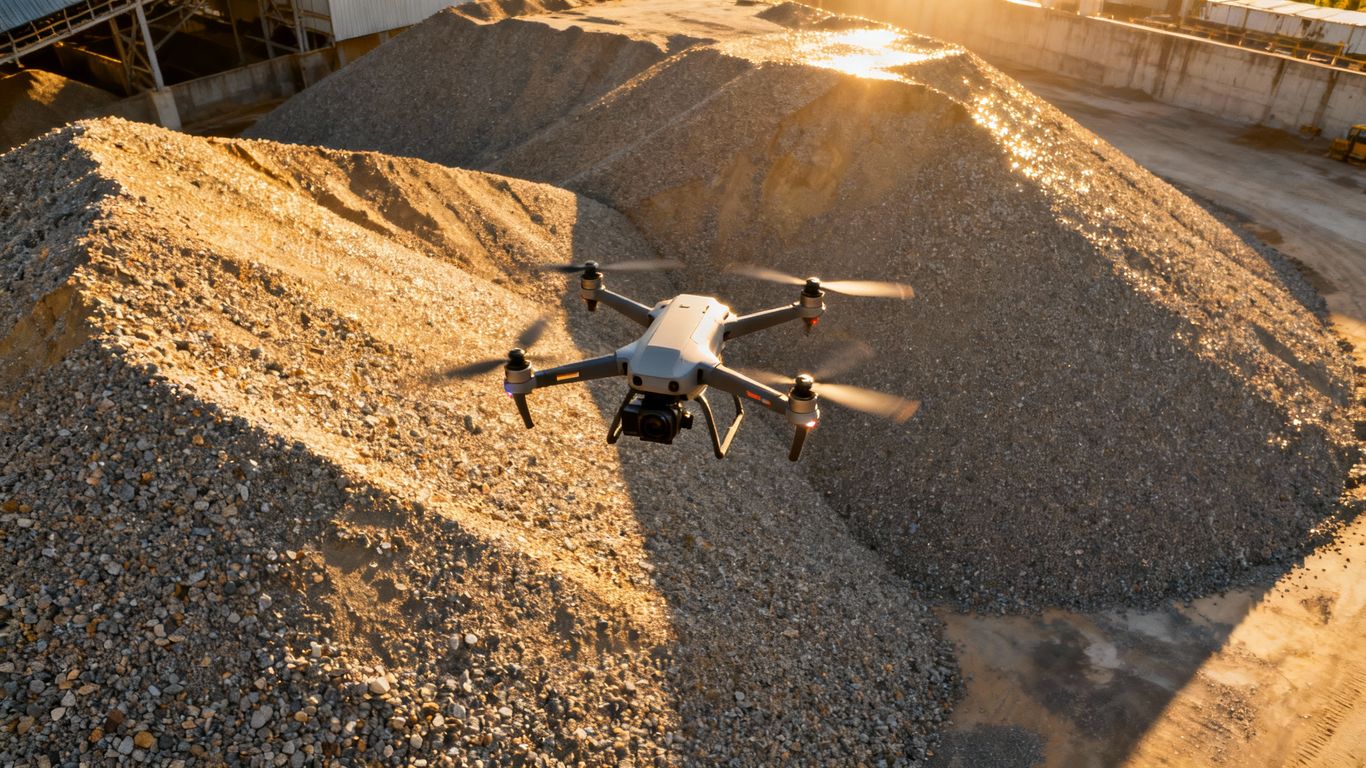
Construction site monitoring in Stockton provides high-resolution aerial views that document every stage of development.
You’ll be able to compare timelines, spot safety hazards, and share updates instantly with your team.
Need real-time construction site monitoring in Stockton?
Book a drone data capture session today and stay on top of every milestone.
Safety and Compliance with Construction Site Monitoring in Stockton
Transparent Reporting with Construction Site Monitoring in Stockton
From investors to regulatory authorities, aerial reports enhance transparency. Construction site monitoring in Stockton allows you to showcase progress with visuals that are easy to interpret and share.
Structural Inspections Using Aerial Imaging in Stockton
Traditional inspections often involve scaffolding, lifts, or risky climbs.
Aerial imaging in Stockton allows you to safely inspect roofs, façades, and high structures with close-up, high-resolution visuals.
This improves safety while speeding up the inspection process.
Make inspections safer and more efficient.
Contact our aerial imaging team in Stockton for a site review.
Damage Assessment with Aerial Imaging in Stockton
After storms or accidents, drone-based aerial imaging in Stockton quickly evaluates damage so you can plan repairs without delay.
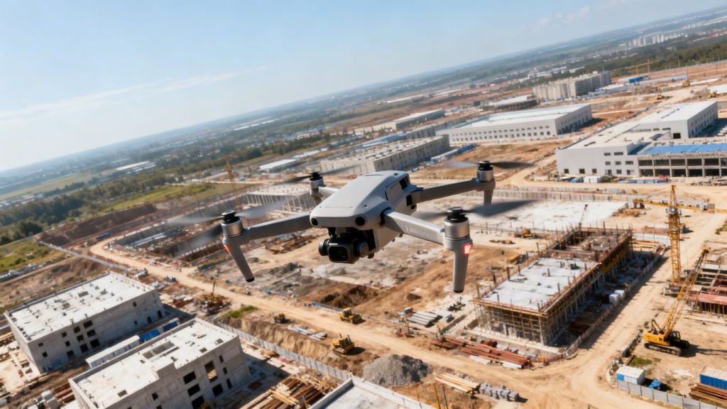
Timestamped Images also provide valuable documentation for insurance claims.
Enhancing Collaboration with Aerial Imaging in Stockton
Sharing site visuals across cloud platforms ensures that everyone — from contractors to clients — has the same clear understanding of site progress.
This reduces miscommunication and speeds up decision-making.
Cost Savings and ROI from Construction Site Monitoring in Stockton
Investing in drone services for construction site monitoring in Stockton saves time and reduces labour costs.
Quick aerial data capture can replace lengthy manual inspections and provide more reliable data for decision-making.
Save costs and boost efficiency.
Schedule your Stockton construction site monitoring service today.
Reducing Rework with Construction Site Monitoring in Stockton
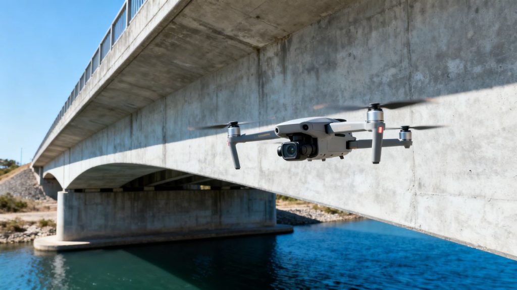
By detecting issues early, aerial monitoring helps prevent costly rework.
This means smoother timelines, better budgeting, and improved client satisfaction.
Meeting Regulatory and Environmental Standards with Aerial Imaging in Stockton
Stockton construction projects must meet strict compliance and environmental guidelines.
Aerial imaging in Stockton provides timestamped records of erosion controls, protected zones, and safety compliance.
Stay compliant with confidence.
Learn how our aerial imaging in Stockton supports regulatory reporting.
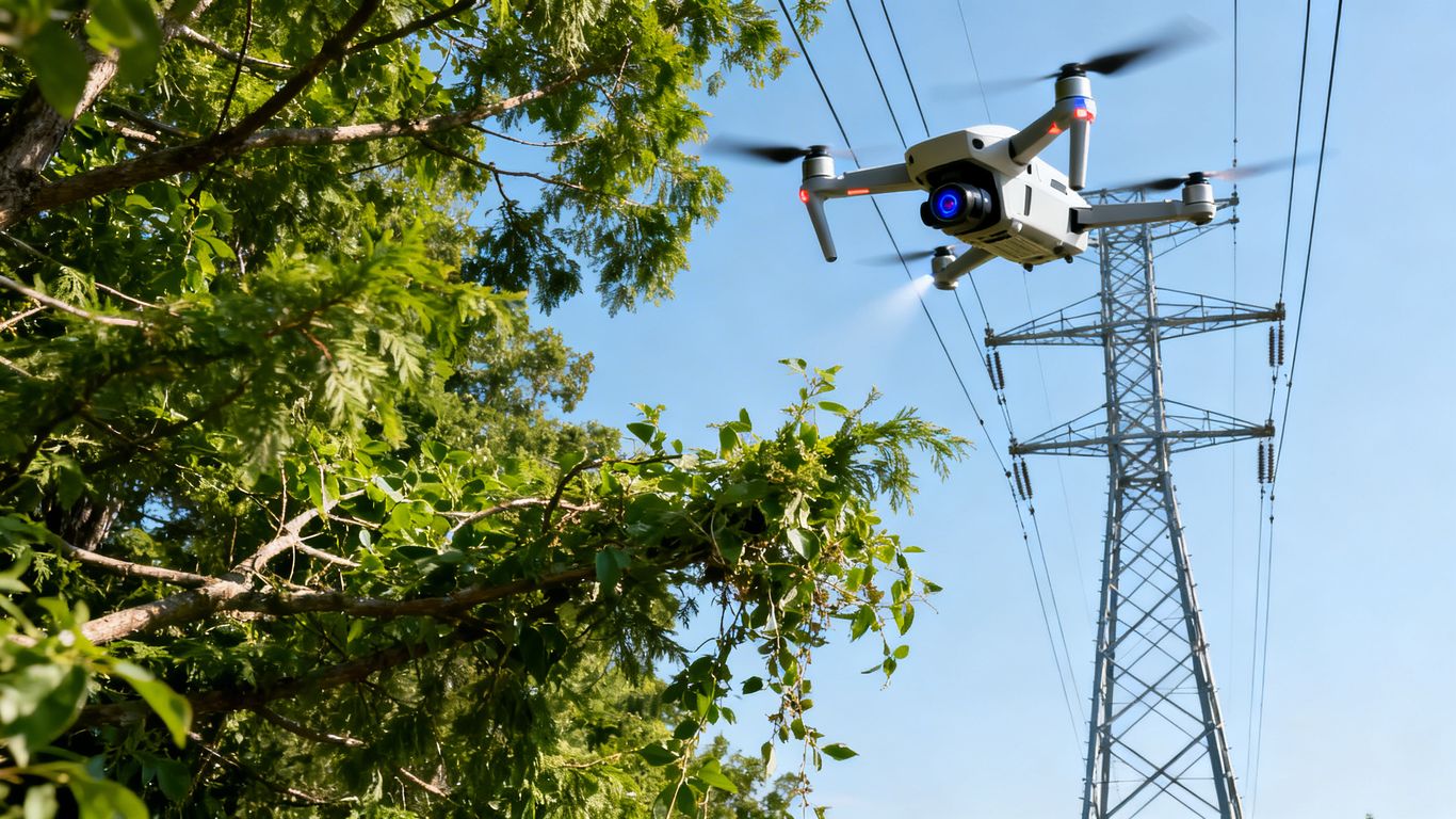
Choosing the Right Provider for Aerial Imaging in Stockton
Selecting the right partner is key to maximising the benefits of aerial imaging in Stockton.
Look for a provider with advanced drone technology, strong safety protocols, and proven experience with local projects.
Work with Stockton’s aerial imaging specialists.
Contact us to discuss your project needs.
Frequently Asked Questions
We offer Aerial Imaging, Construction Site Monitoring, Structural Inspection Services, and more across the following locations:
Fremont, Fresno, Gilroy, Modesto, Monterey, Morgan Hill, Oakland, Sacramento, Salinas, San Francisco, San Jose, Santa Cruz, Stockton, Watsonville, Santa Clara County, Northern California, and the surrounding areas.
Disclaimer:
Aeroskape, LLC does not provide Professional Land Surveying services. Aeroskape’s services do not include the determination of property boundaries, contours, monuments, or the authoritative position of land or fixed objects as defined under California Business & Professions Code §8726. All deliverables are provided for planning, visualization, documentation, and informational purposes only. When survey-grade or legal deliverables are required, clients should consult a licensed Professional Land Surveyor (PLS).