Drone moisture intrusion detection for commercial roofing: A practical guide to faster, smarter inspections
Key Takeaways
Drone imagery and thermal data can help commercial roofing teams find areas that deserve closer attention before small defects become expensive repairs.
- Moisture may travel far from the original breach, making visual leak tracing unreliable.
- Thermal imagery can reveal temperature anomalies associated with wet insulation or trapped water.
- A useful inspection starts with clear roof zones, flight conditions, safety controls, and deliverables.
- Aerial findings should be validated with hands-on testing before major repair decisions are made.
- Repeatable drone inspections create a clearer record for maintenance, budgeting, warranty, and insurance work.
Understanding moisture intrusion in commercial roofs
Commercial roof moisture rarely announces itself at the point where water entered. It can move through membranes, insulation, seams, and decking before appearing inside the building. A practical inspection therefore looks beyond visible staining and connects roof conditions with thermal behavior, drainage, and construction details. The goal is not simply to find a wet-looking spot, but to understand what it may mean for the roof system.
Common sources of hidden moisture
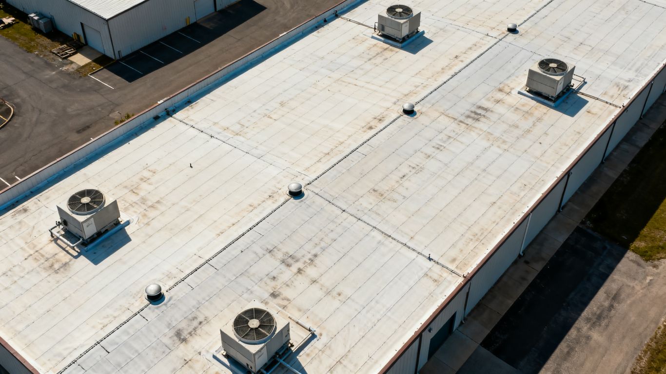
Punctures, open seams, failed flashing, clogged drains, deteriorated coatings, and poorly sealed penetrations are common pathways for water. HVAC supports and other rooftop equipment can create additional stress where fasteners or joints interrupt the membrane. Ponding water may also expose weak areas that are difficult to recognize from the ground.
A roof can look broadly intact while moisture is accumulating below the surface. That is why inspection notes should connect visible defects with nearby low points, penetrations, drains, and transitions rather than treating each mark as an isolated issue.
Why leaks are difficult to locate
Water does not always follow a straight path through a commercial roof assembly. It may travel along a deck, insulation joint, or membrane layer and emerge some distance from the entry point. Interior stains can therefore point to a symptom rather than the actual breach.
Visual inspection remains useful for documenting exposed defects, but it is limited when the problem is beneath the roof surface. Aerial views can add context across a large roof, while thermal observations may help identify areas that warrant closer examination. Guidance on infrared roof inspections also describes the value of combining aerial infrared photography with ground-level review rather than relying on one view alone.
How trapped moisture affects roof systems
Wet insulation can lose performance and add weight to parts of the assembly. Continued exposure may contribute to deterioration of membranes, decking, fasteners, and supporting materials. The longer moisture remains undetected, the harder it can be to separate a localized repair from a broader replacement decision.
The condition of the roof assembly, its age, drainage, insulation type, and recent weather all affect the consequences. Early investigation supports better decisions because it gives owners a chance to determine whether drying, localized repair, or more extensive work is appropriate.
When moisture intrusion becomes a structural risk
Moisture becomes more concerning when it is persistent, widespread, or close to compromised decking and structural supports. Sagging areas, recurring interior leaks, soft materials, corrosion, and visible deformation deserve prompt attention from qualified roofing professionals. A drone image can help locate and document a concern, but it does not establish structural capacity.
For that reason, aerial evidence should be treated as part of an escalation process. A suspected high-risk area should be isolated, reviewed by the responsible building or roofing team, and tested using methods appropriate to the roof assembly.
How drones support commercial roof inspections
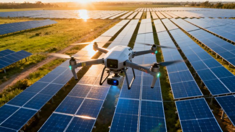
Drones add a broad, repeatable perspective to commercial roof inspections without requiring a person to walk every fragile, steep, or difficult-to-access surface. They can capture roof-wide context as well as close views of details that are hard to see from the ground. When paired with suitable thermal equipment and professional interpretation, the resulting record can help teams decide where hands-on inspection is most valuable.
Combining aerial imaging with roof observations
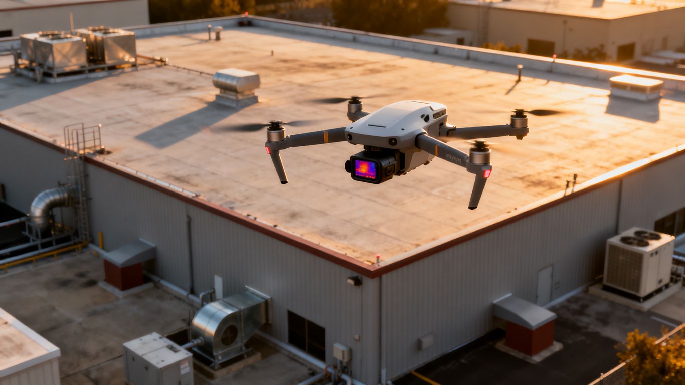
Aerial imagery is most useful when it is connected to observations made by people who understand roofing systems. A roof plan, visible defect notes, weather history, and interior reports can help explain what appears in the imagery. The drone does not replace that context; it makes the roof easier to review as a whole.
Aeroskape provides Commercial Drone Inspection with real-time, high-resolution imagery, terrain visualization, and 3D aerial modeling. For a commercial roof, those documented deliverables can give project managers a clearer visual record of hard-to-reach areas and support decisions about where to investigate next.
Using thermal cameras to identify temperature anomalies
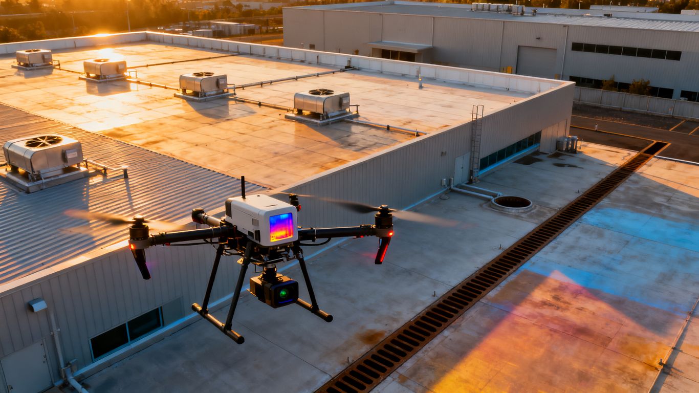
Thermal cameras record differences in surface temperature. Under suitable conditions, areas with retained moisture may cool or warm differently from surrounding dry materials, creating an anomaly that deserves review. The result is an indication, not proof, so a thermal pattern must be considered alongside roof construction, weather, insulation, and visible conditions.
A thermal inspection can be especially helpful for screening a broad roof before selecting smaller areas for confirmation. Aeroskape describes Thermal Drone Inspections as using infrared imaging to identify hidden heat anomalies and capture high-resolution thermal images that can help pinpoint water infiltration and compromised insulation. Deliverables remain informational and should support, not replace, qualified professional judgment.
Capturing high-resolution images of vulnerable areas
High-resolution RGB imagery can document seams, flashings, drains, penetrations, rooftop equipment, edge conditions, and apparent membrane damage. It also preserves a visual record that can be revisited when a repair estimate or maintenance question arises later. Close imagery is more useful when each view includes enough surrounding context to identify the location.
Flight planning should balance detail with coverage. Overly tight images may show a defect without showing where it sits on the roof, while only wide images may miss the small conditions that explain a leak.
Comparing drone inspections with traditional methods
A drone inspection and a hands-on roof inspection answer related but different questions. Aerial work can improve access, speed, and documentation, while traditional methods provide tactile observations and direct testing. A sensible program often uses both rather than framing one as a universal substitute for the other.
| Inspection approach | Useful contribution | Main consideration |
|---|---|---|
| Aerial RGB imagery | Roof-wide context and visible defect records | Does not reveal every subsurface condition |
| Thermal imaging | Temperature patterns that may indicate retained moisture | Requires suitable conditions and interpretation |
| Hands-on review | Direct observation and physical testing | Requires safe access and qualified personnel |
| Core sampling or moisture measurement | Confirmation of suspected wet materials | Intrusive or localized, depending on method |
The comparison becomes clearer when the inspection goal is defined first. A roof owner seeking a broad condition record may begin with aerial imagery, while a suspected wet area may require thermal screening followed by hands-on confirmation.
Planning a drone moisture detection inspection
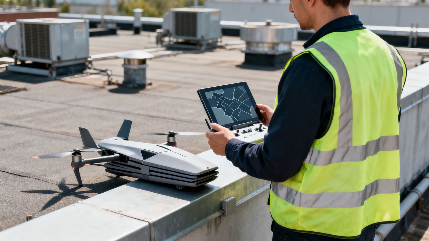
Good results depend as much on preparation as on the aircraft and camera. Before a flight, the team should define what decisions the inspection needs to support, which roof zones matter most, and what evidence will be delivered. That preparation also reduces confusion when imagery from several buildings or inspection dates must be compared.
Defining inspection goals and roof zones
Start with a specific question: is the team screening for possible moisture, documenting storm damage, checking recurring leak areas, or building a baseline condition record? Divide the roof into logical zones using building wings, drainage areas, equipment clusters, expansion joints, and known repair history.
Share roof plans, prior reports, interior leak locations, and recent maintenance records when available. This information helps the flight team frame the capture plan and helps the reviewer distinguish an isolated anomaly from a pattern.
Choosing the right drone and sensor configuration
Sensor selection should follow the question being asked. RGB cameras are suited to visible condition documentation, while thermal sensors can identify temperature differences that may warrant further investigation. A mapping or modeling workflow may be useful when the team needs organized spatial context rather than a folder of disconnected images.
The deliverable should be agreed upon before the flight. It might include georeferenced imagery, annotated views, a roof map, a three-dimensional model, or a condition report, depending on the project need. Clear expectations prevent a technically impressive capture from becoming an impractical data set.
Selecting suitable weather and flight conditions
Thermal observations depend on conditions before and during the flight. Recent rain, cloud cover, wind, roof coatings, surface color, shading, and building equipment can affect temperature patterns. The roof should also be dry and safely accessible for any planned follow-up work.
A repeatable schedule is preferable to rushing into marginal conditions. If the data may be compared with a later inspection, record the time, weather, sensor configuration, and relevant site conditions so apparent changes are easier to interpret.
Addressing airspace, privacy, and site safety requirements
The inspection plan should account for airspace authorization, pilot qualifications, site boundaries, nearby people, adjacent properties, building occupants, and rooftop hazards. Establish a launch and recovery area, communicate the work window, and keep nonparticipants clear of the operation.
Aeroskape positions its drone services around safety, compliance, and quality in flight planning. That operational discipline matters on commercial sites where an inspection must fit around tenants, workers, deliveries, and other active activities without creating a new hazard.
Interpreting aerial and thermal inspection data
Collected imagery becomes useful only after it is organized and interpreted in context. Reviewers should compare thermal patterns with RGB images, roof plans, construction details, and known leak history. A clear report distinguishes observed conditions from interpretations and identifies what should happen next.
Distinguishing moisture patterns from false positives
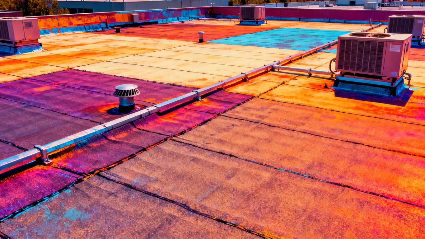
A thermal anomaly may be associated with moisture, but it can also result from shading, equipment, different materials, surface repairs, insulation variation, or changing exposure to the sun. One isolated color difference should not automatically become a leak finding. Patterns that persist across related images and align with roof conditions deserve more attention.
Review the thermal image beside a visible-light image and note the time and environmental conditions. This simple comparison can prevent an apparent anomaly from being treated as a confirmed defect before anyone has tested it.
Reviewing roof seams, penetrations, drains, and flashing
Thermal review should be paired with a deliberate visual scan of the details most likely to admit water. Look at membrane seams, pipe boots, curbs, skylights, drains, scuppers, edge metal, wall transitions, and areas around rooftop equipment. The surrounding roof surface provides the context needed to judge whether a defect is active, aged, or unrelated to the anomaly.
Location accuracy matters. A finding that says “north roof” is less useful than one tied to a roof zone, nearby drain, grid reference, or annotated image that another professional can locate without guessing.
Validating findings with core samples or moisture meters
Thermal data is a screening and prioritization tool, not a substitute for confirmation. Qualified roofing professionals may use moisture meters, probes, core samples, or other methods suited to the assembly. The choice should account for the roof warranty, intrusion requirements, insulation composition, and the potential consequences of creating an opening.
Confirmation should be targeted rather than random. The strongest candidates are areas where the thermal pattern, visible condition, drainage behavior, and history point in the same direction.
Documenting severity, location, and recommended action
Reports should state what was observed, where it was found, how confident the interpretation is, and what action is recommended. Images should retain enough context for a maintenance team to locate the area, while annotations should avoid presenting an indication as a final diagnosis.
A practical report may classify findings as monitoring, routine maintenance, targeted confirmation, or urgent professional review. That structure turns a large image set into a manageable work plan and makes the reasoning behind each recommendation easier to follow.
Using drone findings to prioritize repairs
The value of drone moisture intrusion detection commercial roofing work is not only the discovery of anomalies. It is the ability to sort those findings by risk, access, cost, and likely consequence. Property teams can then direct limited inspection and repair resources to the areas where they matter most.
Separating urgent defects from routine maintenance
An active opening near a drain, exposed decking, significant ponding, or evidence of continuing interior damage should usually receive more attention than cosmetic surface wear. That does not mean an image alone establishes urgency. It means the finding deserves a faster review by the people responsible for the roof.
A consistent priority system helps avoid two common errors: treating every anomaly as an emergency or allowing a potentially serious condition to sit in a general maintenance queue. The classification should be reviewed when new site evidence becomes available.
Estimating the potential impact of trapped moisture
The likely impact depends on the size and location of the affected area, the roof assembly, the duration of exposure, and the condition of nearby materials. Moisture close to seams or structural transitions may require a different response from a small isolated area in otherwise sound insulation.
Cost planning should include investigation, access, temporary protection, repair, testing, and possible disruption to building operations. Aerial data can improve the initial scope, but it should not be used to promise a repair cost without field verification.
Creating repair maps and condition reports
A repair map can show roof zones, image locations, suspected anomalies, visible defects, and proposed next steps. Use the same naming convention across photographs, thermal captures, drawings, and field notes. That small discipline makes handoffs between owners, contractors, consultants, and facility teams much easier.
The report should also preserve uncertainty. Marking a location as “confirm moisture” is more defensible than labeling it “wet insulation” when no physical test has been completed. Clear language protects the usefulness of the record.
Supporting warranty and insurance documentation
Dated aerial imagery can document visible roof conditions before and after a storm, maintenance project, or repair. It may help organize evidence for a claim or warranty discussion, but it does not determine coverage. Contractor findings, interior photographs, repair records, policy terms, and professional assessments remain important.
For California insurance work, roof claim documentation can provide a useful reference for combining aerial evidence with contractor findings and other records. The same principle applies to moisture investigations: use imagery as one part of a complete documentation package.
Improving commercial roofing maintenance with drone inspections
A single flight can answer an immediate question, but recurring inspections create a more useful management record. Over time, comparable imagery can show whether a seam, drain, coating, or ponding area is stable or changing. That turns inspection from an isolated event into an asset-management practice.
Establishing a recurring inspection schedule
The right schedule depends on roof age, exposure, occupancy, weather, warranty requirements, prior leak history, and the consequences of failure. A baseline inspection followed by seasonal or event-driven reviews may be appropriate for some properties. Others may need closer attention around known trouble areas.
The schedule should specify the capture method, roof zones, required deliverables, and review process. Repeatability matters more than simply increasing the number of flights.
Tracking changes across multiple inspection cycles
Use consistent flight lines, camera settings where practical, image naming, roof-zone boundaries, and reporting categories. Compare like with like, while still recording changes in weather, equipment, repairs, and roof access. A new thermal pattern may reflect a changed surface condition rather than a new leak.
Change tracking is most valuable when it leads to an action. A growing area of concern can prompt confirmation, budgeting, or temporary protection before the next major weather event.
Integrating findings into asset management systems
Inspection records should be stored where facility and project teams already manage work orders, warranties, roof plans, and capital forecasts. Link each finding to a location, date, image set, status, responsible party, and next review date. Avoid leaving critical evidence in an unstructured folder that only one person understands.
Aeroskape focuses on organized, visual, decision-ready data for construction and engineering projects. That orientation is useful when aerial records need to support project decisions rather than remain as raw imagery.
Measuring cost savings and maintenance outcomes
Measure outcomes that matter to the owner: fewer emergency callouts, faster confirmation of suspected leaks, reduced access risk, better repair scoping, less disruption, and clearer capital planning. Compare the full workflow, including planning, processing, review, field confirmation, and repairs.
A drone inspection is not automatically less expensive in every situation. A practical comparison of inspection costs should account for access equipment, labor, downtime, data needs, and the value of a hybrid aerial and hands-on workflow.
Limitations and best practices for reliable results
Drone inspections are powerful when their limits are understood. They can improve visibility and reduce unnecessary exposure, but they cannot identify every defect or replace professional evaluation. Reliable work comes from matching the sensor to the question, controlling the conditions, and documenting uncertainty honestly.
Understanding when thermal imaging may be inconclusive
Thermal imaging may provide weak or confusing results when temperature differences are small, the roof has recently been wet, cloud cover changes rapidly, or materials respond differently to heating and cooling. Shading, rooftop equipment, reflective surfaces, and multiple insulation layers can also complicate interpretation.
An inconclusive scan is still useful if the report says why it was inconclusive and what additional evidence is needed. Rescheduling, changing the capture window, or using a different confirmation method may be more responsible than forcing a definitive conclusion.
Managing wind, rain, roof coatings, and insulation variables
Wind can affect aircraft stability and surface cooling. Rain changes the roof’s thermal behavior, while coatings, ballast, membrane color, and insulation type influence how heat is stored and released. These variables should be recorded with the inspection so later reviewers understand the conditions behind the imagery.
Site logistics matter as well. Protect launch areas, coordinate with occupants, maintain safe separation from people and equipment, and postpone work when conditions exceed the approved operating plan.
Avoiding overreliance on automated detection
Software can help organize images, flag patterns, and speed review, but an automated flag is not a diagnosis. Algorithms may miss defects, highlight benign temperature differences, or perform differently across roof materials. Human review remains necessary to connect the data with construction details and building history.
A useful report separates captured evidence, interpretation, confidence, and recommended follow-up. That structure keeps the inspection practical and prevents polished visuals from creating false certainty.
Working with qualified roofing and drone professionals
The strongest workflow brings together an appropriately qualified drone operator and professionals who understand commercial roofing, thermal interpretation, and the building’s operational context. Confirm insurance, safety procedures, airspace compliance, sensor capabilities, deliverables, data handling, and the limits of the service before work begins.
Aerial inspection supports professional judgment; it does not confer authority to diagnose structural conditions or perform regulated services outside the provider’s scope. When a finding could affect safety, warranty, insurance, or structural decisions, involve the responsible specialist early.
Conclusion
Drone imagery and thermal screening can make commercial roof inspections more systematic, accessible, and easier to document, especially when large or difficult surfaces need an initial review. The best results come from a planned workflow that combines aerial evidence with roof expertise, physical validation, clear reporting, and repeat inspections. For teams ready to discuss a project, plan an inspection with a qualified aerial data provider and define the decisions the work needs to support.
Frequently Asked Questions
Can drones detect moisture under a commercial roof?
Drones equipped with thermal cameras may identify temperature patterns associated with retained moisture or wet insulation. Those patterns are indicators and should be confirmed with appropriate hands-on testing.
Is thermal imaging enough to diagnose a roof leak?
No. Thermal imaging can help locate areas for investigation, but weather, roof materials, shading, equipment, and insulation can create misleading patterns. A qualified professional should interpret and validate the finding.
When is the best time to perform a thermal roof inspection?
The best timing depends on the roof assembly, local weather, recent rain, solar exposure, and the temperature contrast needed for the inspection. The inspection team should select conditions that support a meaningful comparison between suspected and surrounding areas.
Do drone inspections replace traditional roof inspections?
No. Drones improve access, coverage, and documentation, while hands-on inspections provide direct observation and physical testing. Combining both methods usually produces a more reliable assessment.
What should a commercial roof inspection report include?
A useful report identifies inspection dates and conditions, roof zones, imagery, visible defects, thermal indications, confidence levels, locations, limitations, and recommended follow-up. It should distinguish observed evidence from conclusions that still require confirmation.
How often should a commercial roof be inspected with a drone?
Frequency depends on roof age, exposure, occupancy, maintenance history, warranty requirements, and the consequences of failure. A baseline inspection followed by recurring or event-driven reviews can help establish a practical program.
Can drone imagery support an insurance or warranty claim?
Dated aerial imagery can document visible conditions and help organize a claim or warranty record. It does not determine coverage, so it should be combined with policy information, contractor findings, interior evidence, repair records, and other required documentation.