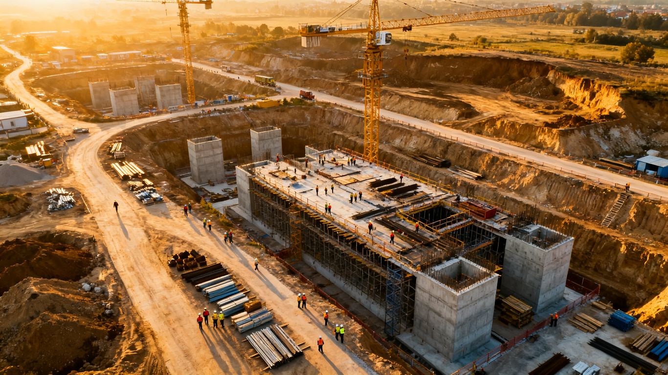
Drone photography pricing for construction companies: A practical guide to costs and contracts
Key Takeaways
Construction drone pricing depends less on the aircraft itself than on the work required before, during, and after each flight. A useful quote makes those moving parts visible.
- Define whether you need photographs, video, mapping, modeling, or inspection imagery.
- Ask how travel, permits, airspace constraints, editing, and rush delivery affect the price.
- Compare deliverables, flight counts, file formats, turnaround times, and usage rights.
- Recurring progress work is often easier to budget when milestones and outputs are agreed in advance.
- Choose a provider based on safety, compliance, data quality, and practical project value—not just the lowest rate.
What determines drone photography pricing for construction companies
The phrase drone photography pricing for construction companies covers several different services, so there is no single reliable rate. A short shoot for a few progress photos is a different job from a recurring documentation program, a mapped site, or an inspection of a difficult structure. The clearest estimates connect the price to the decisions the resulting information will support.
Project size, site complexity, and flight time
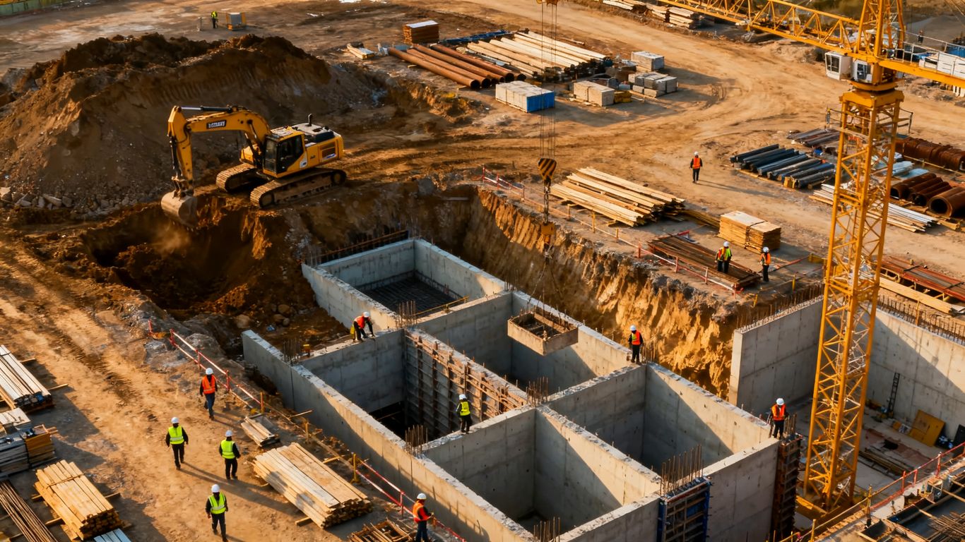
A larger site generally takes more planning, more flight time, and more time to organize the resulting files. Tall structures, cranes, active equipment, restricted access, changing work zones, and multiple areas of interest can also make a straightforward flight more involved. Ask whether the estimate covers only time in the air or also the site briefing, safety coordination, setup, and post-flight file handling.
A small project may fit an hourly booking, while a complex site may be better priced as a defined scope. The latter gives both sides a clearer basis for discussing what happens if weather, access, or site conditions change.
Photo, video, mapping, and inspection requirements
Still photography is usually the simplest output, but even that can vary by camera resolution, composition, number of locations, and editing expectations. Video adds capture planning, shot lists, music or narration decisions, editing, and export requirements. Mapping and modeling require consistent image overlap, suitable ground conditions, processing, and often more technical review than ordinary photography.
Inspection imagery has its own demands. The pilot may need close, repeatable views of particular components, while the client may need organized images that can be reviewed alongside drawings, work orders, or field notes. A quote should describe the output rather than simply promise “drone footage.”
Location, travel, permits, and airspace restrictions
The project address affects travel time, mileage, lodging, local coordination, and the practical availability of a pilot. Airspace restrictions, nearby airports, temporary flight limitations, and site-specific rules can add planning time or require an authorization process. Those costs should be discussed before the contract is signed, not discovered on the invoice.
Weather and site operations matter too. A flight may need to be moved around crane activity, concrete placement, public access, or a safety stand-down. Flexible scheduling can be valuable, although it may carry a different price than a tightly defined appointment.
Pilot experience, insurance, and equipment capabilities
Experience is not just a résumé item. A capable pilot should be able to plan a safe operation, communicate with the site team, recognize when conditions are unsuitable, and capture consistent information. Insurance coverage, aircraft capabilities, backup planning, and the ability to work within a construction site’s procedures all contribute to the quote.
For teams seeking organized aerial information rather than a folder of disconnected images, Aeroskape describes its work as drone services for construction and engineering projects, including aerial data capture, imaging, and inspections. That distinction is useful when comparing providers: ask how the information will be organized and delivered for project decisions.
Typical drone photography pricing models
Most construction providers use one of several pricing structures, or combine them. The right model depends on whether the work is occasional, recurring, highly standardized, or technically specialized. Read the scope carefully, since two quotes with the same headline price may include very different amounts of editing and data processing.
Hourly and half-day rates
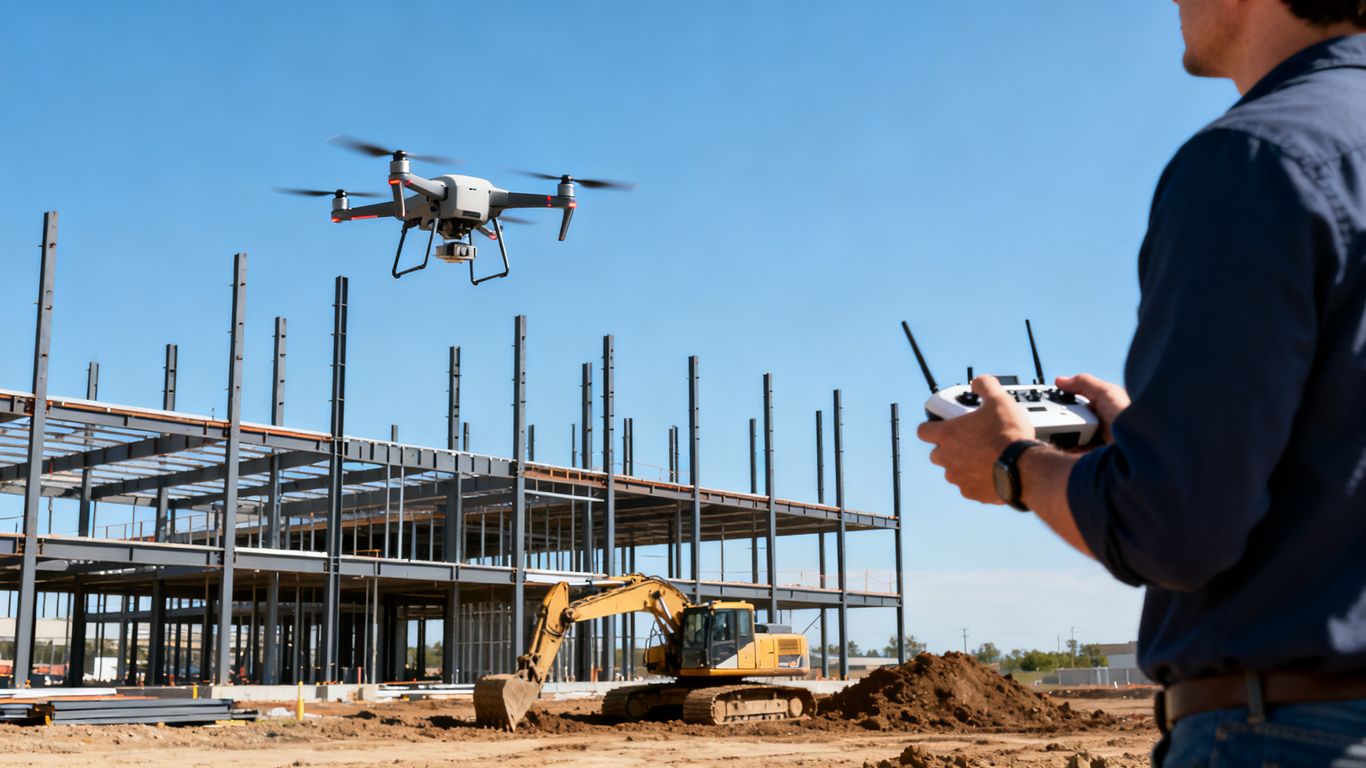
Hourly and half-day rates work well when the site visit is short and the deliverables are relatively simple. They can also suit an initial consultation, a single progress visit, or a small number of requested photographs. Confirm the minimum booking time and whether travel, setup, editing, and delivery are billed separately.
An hourly rate is not automatically the least expensive choice. If the site requires extensive coordination or the client needs several edited outputs, a project rate may offer better visibility into the final cost.
Per-flight and per-project pricing
Per-flight pricing can be practical when the flight plan and output are repeatable. Per-project pricing is often easier for a defined campaign, because it can include planning, a set number of flights, specified deliverables, and a delivery schedule. Either way, the proposal should state what happens when an additional flight is needed because of weather or an inaccessible work area.
A useful contract separates the base scope from change-order conditions. That keeps a low initial estimate from becoming an unexpected final bill.
Monthly progress documentation packages
Recurring construction updates are often priced monthly or by milestone. A package may include a regular visit, a consistent set of viewpoints, selected edited images, and delivery to the project team. Consistency is the main benefit: stakeholders can compare the same areas over time instead of interpreting unrelated one-off flights.
Before agreeing to a package, set the visit frequency, cancellation terms, weather policy, expected turnaround, and storage or handoff process. If the schedule changes, both parties should know whether a missed visit is rescheduled or simply removed from the month.
Add-on fees for editing, rush delivery, and specialized outputs
Raw imagery, lightly selected photographs, edited marketing images, short videos, maps, and models are different deliverables. Rush work may require rearranging an existing flight schedule or prioritizing post-processing. Specialized outputs can also involve additional software, quality control, or technical coordination.
A simple quote should show those distinctions plainly. The following comparison is a useful starting point when reviewing line items:
| Pricing component | What it may cover | What to clarify |
|---|---|---|
| Flight time | On-site aircraft operation | Minimum booking and travel time |
| Production | Selection, editing, or video assembly | Number of final files and revisions |
| Data processing | Maps, models, or organized datasets | Required accuracy, format, and processing scope |
| Expedited service | Priority scheduling or delivery | Deadline, availability, and surcharge |
The table is not a universal rate card; it is a checklist for making quotes comparable. A provider that explains each component is usually easier to manage than one that presents a single unexplained total.
Estimated costs for common construction drone services
Construction budgets need planning ranges, but published prices vary substantially by region, scope, pilot experience, and deliverable. Treat any online number as an orientation point rather than a promise. The most useful estimate is tied to a site visit, a defined output, and a realistic schedule.
Aerial photos for marketing and project updates
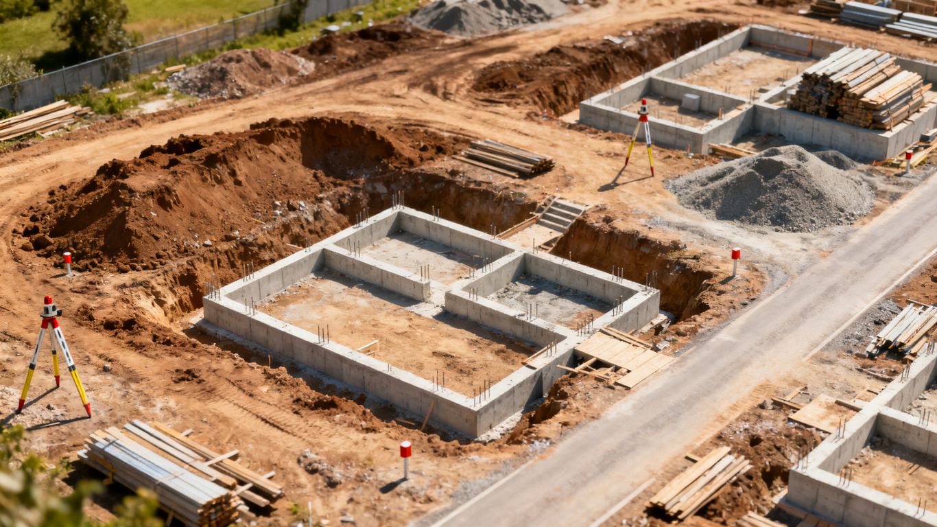
Basic aerial photography generally costs less than mapping, modeling, or a full video production because the capture and post-processing are simpler. The final price still depends on the number of viewpoints, site size, editing, requested resolutions, and whether the photographs are for internal reporting, public relations, or commercial marketing.
For a project update, a small selection of carefully framed images may be enough. For marketing, the brief may call for a more deliberate shot list, multiple site visits, color correction, and usage terms that allow broad distribution.
Progress videos and time-lapse documentation
Progress videos can be priced as a single shoot, a recurring sequence, or a larger production that combines aerial footage with ground-based material. Time-lapse documentation requires consistent framing and a reliable schedule, not just one attractive flight. Editing choices—length, music, captions, voiceover, and revisions—can change the cost considerably.
A construction team should decide whether the goal is internal communication, owner reporting, public updates, or a polished project film. That decision prevents paying for production features that will not be used.
Orthomosaic maps, 3D models, and site surveys
Mapping and modeling are data projects, not simply higher-resolution photography. They may require a planned grid, image overlap, control information, processing, review, and delivery in a format the project team can actually open and use. Site size, vegetation, elevation changes, required detail, and the intended application all affect the estimate.
Aerial data can support planning and documentation, but it should not be casually represented as a legal or professional land survey. Where survey-grade or legal deliverables are required, involve a licensed Professional Land Surveyor. For visual site models and project documentation, 3D Aerial Modeling from Imagery is a more precise description of the type of service being considered.
Roof, façade, and structural inspection imagery
Inspection imagery may cost more than routine progress photos because access, flight paths, lighting, safety controls, and documentation standards can be more demanding. The client should identify the asset, the areas of concern, the desired level of detail, and whether the output needs annotations or a structured report.
Aeroskape Commercial Drone Inspection describes high-resolution imagery, terrain visualization, and 3D aerial modeling for construction decision-making and access to hard-to-reach or hazardous areas. When comparing this kind of service, focus on how findings will be delivered to the people responsible for maintenance, planning, or corrective action.
How to compare drone photography quotes
A quote is easier to evaluate when it reads like a small project plan. Look beyond the aircraft, camera, or headline hourly price and ask what the team will receive, when it will arrive, and how it can be used. This is where many apparent bargains lose their advantage.

Deliverables, resolution, and file formats
Ask for a list of final files, not just a phrase such as “high-resolution photos.” The list might distinguish selected images from all captured images, edited files from raw files, and web-ready exports from full-resolution originals. For maps and models, confirm the file type, coordinate reference, level of detail, and intended software environment.
The deliverable should match the decision. A project executive may need a concise visual report, while a design or field team may need an organized set of images and technical files. Paying for incompatible data is still wasted spend.
Number of flights and project milestones included
A recurring quote should state how many visits or flights are included and which milestones they correspond to. It should also identify whether multiple areas can be covered during one visit, how long each visit is expected to last, and what additional work costs if the construction schedule shifts.
Ask whether the same viewpoints will be repeated. Consistent capture makes progress easier to assess and can reduce debate over whether a visible change reflects actual work or a different camera position.
Turnaround times, revisions, and usage rights
Turnaround should be written as a number of business days or a specific delivery date. For video and edited images, clarify how many revision rounds are included. Usage rights deserve equal attention: internal reporting, owner communication, advertising, social media, and third-party publication may not be treated the same way.
The contract should also explain who retains raw files, how long files are stored, and whether the client can share the final material with owners, designers, insurers, or subcontractors. These details are small until a project needs them.
Insurance certificates, safety procedures, and compliance
Commercial construction work calls for more than attractive imagery. Ask for proof of appropriate insurance, the pilot’s qualifications, pre-flight planning procedures, site communication expectations, and a clear process for stopping a flight when conditions are unsafe. A provider should be comfortable documenting how the operation fits the site’s safety requirements.
For a second pricing perspective, this drone cost reference can help frame broad market variables, but local conditions and the actual scope should carry more weight than a national range. Compliance and risk controls are part of the service, not optional extras.
How construction companies can reduce drone photography costs
Reducing cost does not mean removing the planning that makes aerial work useful. It means avoiding preventable site visits, unclear deliverables, and processing that no one needs. Small improvements in coordination can make recurring work more efficient without lowering the quality of the information.
Plan flights around existing site schedules
Coordinate the flight with milestones the project team already tracks. A visit timed with a major pour, installation phase, excavation milestone, or owner walkthrough can produce more value than a random calendar date. Share the expected flight window with the superintendent and safety team so the pilot is not waiting for access.
A written shot list also helps. It keeps the visit focused and reduces the temptation to request a second flight because a key area was overlooked.
Bundle recurring progress updates
If the project needs monthly or milestone documentation, request a recurring scope instead of negotiating every visit separately. A stable schedule can reduce administrative time and make it easier for the provider to repeat viewpoints, organize files, and plan travel.
Build reasonable flexibility into the agreement. Construction schedules move, and a package with a clear weather and rescheduling policy is more useful than a rigid plan that fails at the first delay.
Prepare locations and access before the pilot arrives
The site team can reduce paid waiting time by preparing access, contact information, safety requirements, and the areas to be captured. Remove avoidable obstacles where possible and identify no-go zones before the pre-flight briefing. If the pilot needs a site escort, arrange one in advance.
A practical pre-flight checklist can include:
- Confirm the site contact and arrival instructions.
- Identify active cranes, restricted areas, and changing hazards.
- Mark the requested viewpoints or assets.
- Confirm the delivery format and deadline.
These steps are simple, but they turn on-site time into productive capture. They also give the pilot enough context to raise safety questions before launching.
Choose only the data and deliverables the project needs
More files do not automatically create more value. Decide whether the project needs selected photographs, a video, a recurring visual record, a map, a model, or inspection documentation. If a technical output will not be opened by anyone on the team, it may not belong in the scope.
Aeroskape Drone-as-a-Service describes access to imagery, topographic mapping, and progress monitoring without the expense of owning equipment or hiring operators. That type of service model can be worth considering when a company needs repeatable aerial data but does not want to purchase every capability outright.
When to use a drone service package or hire in-house
The choice between an outside provider and an internal program is a business decision, not just an equipment decision. Consider frequency, geography, required outputs, staff availability, compliance responsibilities, and the consequences of a missed or poorly planned flight. A modest internal setup may be sensible for frequent basic documentation, while specialized work can justify a vendor.
Cost considerations for occasional projects
For occasional projects, an outside provider usually avoids the upfront cost of aircraft, cameras, batteries, software, storage, training, and insurance administration. The company pays for a defined service when it needs one and can request capabilities suited to that particular site.
This approach is especially practical when flights are irregular or when the work sometimes involves mapping, modeling, or inspection rather than ordinary photos. The comparison should include internal staff time, not just the invoice from a vendor.
Benefits of recurring vendor agreements
A recurring agreement can provide continuity across milestones and reduce the effort of finding, briefing, and onboarding a new provider for every visit. It can also establish consistent viewpoints, naming conventions, delivery folders, and review expectations. Those habits make the resulting record more useful to project managers and owners.
Negotiate the operational details early. A good agreement still allows changes when the schedule, weather, access, or project priorities shift.
Equipment, training, and compliance costs for in-house teams
An internal team must account for more than the aircraft purchase. Costs may include additional batteries, maintenance, software, data storage, pilot training, insurance, staff time, site coordination, and procedures for safe operation. Someone must also own the responsibility for keeping qualifications and records current.
Internal capability can work well when the company has a clear operating owner and enough repeatable work to keep the process familiar. It is less attractive when flights are rare or when the desired outputs require specialized processing.
Evaluating return on investment for drone documentation
Return on investment may come from faster progress reviews, fewer unnecessary site visits, better communication, earlier visibility into conditions, or a stronger project record. Estimate those benefits conservatively and compare them with the full cost of the program, including review time and data management.
A useful test is whether the imagery changes a decision or prevents a problem. If it does, the value is broader than the number of photographs delivered. If it does not, the scope may need to be simplified.
Conclusion
Construction drone pricing becomes easier to manage when the contract describes the actual work: planning, flight time, safety controls, processing, deliverables, and follow-up. Define the project decisions first, then choose the service model and outputs that support them without paying for data the team cannot use.
Frequently Asked Questions
What is the typical cost of drone photography for a construction project?
Costs vary by location, site complexity, flight time, pilot experience, and deliverables. A short photo visit generally costs less than recurring video, mapping, modeling, or inspection work, so a defined scope is needed for a meaningful estimate.
Is construction drone work usually billed hourly or by project?
Both approaches are common. Hourly billing can suit a short, simple visit, while per-project or recurring pricing may provide clearer budget control when the scope includes planning, editing, multiple flights, or technical outputs.
What makes aerial mapping more expensive than ordinary photos?
Mapping typically requires a planned capture pattern, consistent image overlap, processing, quality review, and a specified data format. Site size, terrain, required detail, and the intended use can all affect the price.
Should a quote include editing?
It should state whether editing is included and describe the expected result. Confirm the number of selected or final files, resolution, export formats, revision rounds, and whether raw imagery is included.
How can a construction company reduce drone service costs?
Coordinate flights with existing milestones, prepare access and safety information, bundle recurring visits, and request only the outputs the project will use. Avoiding repeat visits and unnecessary processing can reduce total cost.
What should a construction company ask about compliance?
Ask about pilot qualifications, insurance, airspace and permit requirements, pre-flight planning, site coordination, weather procedures, and the process for stopping an unsafe operation. These details should be clear before work begins.
Is drone imagery the same as a professional land survey?
No. Aerial photographs, visual models, and other drone outputs should not automatically be treated as legal or professional land surveys. When survey-grade or legal deliverables are required, consult a licensed Professional Land Surveyor.