Using drone imagery for construction schedule verification: A practical guide
Key Takeaways
Using drone imagery for construction schedule verification works best when flights, processing, and schedule reviews follow one repeatable workflow.
- Define the areas, milestones, and quantities that need visual verification.
- Repeat flight paths and capture conditions so site comparisons remain meaningful.
- Use orthomosaics, 3D models, point clouds, and measurements as schedule evidence.
- Record field conditions, limitations, approvals, and decisions alongside each capture.
- Treat aerial data as project controls information, not simply as a collection of photographs.
Understand how drone imagery verifies construction progress
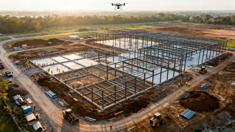
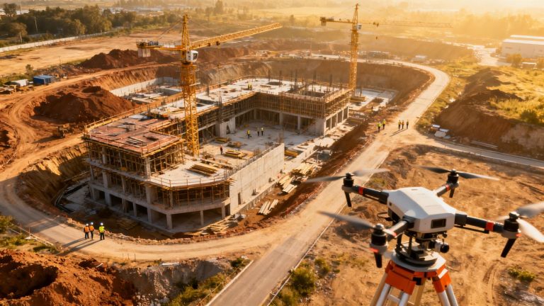
A construction schedule describes intended work, while imagery shows what was physically present on a particular date. Comparing the two gives project teams a clearer basis for discussing progress, constraints, and upcoming decisions. The process is most useful when every capture is tied to a defined milestone or work area rather than collected without a question in mind.
Aerial documentation also creates a shared view for people who are not on site every day. It can support planning conversations, field reviews, and records of changing conditions without suggesting that imagery replaces the judgments of qualified project professionals.
Comparing planned milestones with actual site conditions
Start with the schedule activities that can be observed from above: excavation, grading, foundations, structural installation, paving, utilities, or material placement. For each activity, identify the planned start, planned finish, and physical evidence that would indicate meaningful progress. The comparison then becomes more precise than asking whether a project simply “looks on track.”
A useful review pairs a dated capture with the relevant drawing, look-ahead plan, or schedule update. Differences should be described plainly—for example, an access route remains blocked, a foundation area is incomplete, or material is staged outside its planned zone. Construction-specific drone solutions can support this kind of monitoring and progress-tracking workflow when the project calls for organized aerial information.
Measuring completed work across project areas
Visual review becomes stronger when it is supported by measurements. Depending on the deliverable and its accuracy, teams may compare mapped areas, stockpile volumes, linear features, elevations, or visible installed quantities. The measurement should always identify its source, date, units, and limitations so that a convenient number does not become false precision.
For earthwork and material management, a separate capture of defined zones can help establish consistent quantity comparisons. Measurements are most defensible when the same boundaries and calculation method are used from one reporting period to the next.
Identifying delays, sequencing issues, and out-of-order activities
Progress imagery can reveal that a successor activity has begun before prerequisite work is complete, or that a planned work front is inaccessible. It may also show that crews, equipment, or materials are concentrated in an area different from the one assumed by the schedule. These observations do not automatically prove responsibility for a delay, but they give the team a concrete starting point for investigation.
Review the image alongside daily reports, meeting notes, weather records, and change documentation. That combination helps separate a genuine sequencing issue from a temporary condition, such as a short access restriction or a recently completed activity that has not yet appeared in the schedule update.
Creating an auditable visual record of progress
An auditable record is more than a folder of attractive aerial photographs. Preserve the capture date, approximate area, flight conditions, processing version, control information, and reviewer notes. Use consistent file names and retain the original source data where the project’s recordkeeping requirements call for it.
Time-stamped visuals can make later conversations more specific, especially when site conditions change quickly. They should be stored with the corresponding schedule review or report, not separated from the decision they helped inform.
Plan a drone data-collection workflow
A reliable workflow begins with project questions, not equipment. Decide what needs to be verified, how often the answer may change, and who will use the resulting documentation. That preparation keeps flights focused and reduces the risk of collecting large volumes of imagery that no one can interpret promptly.
The plan should also define responsibilities. Someone needs to own the schedule comparison, someone must coordinate safe site access, and someone must confirm that the processed outputs meet the intended use. Clear ownership is especially valuable when a project spans several areas or contractors.
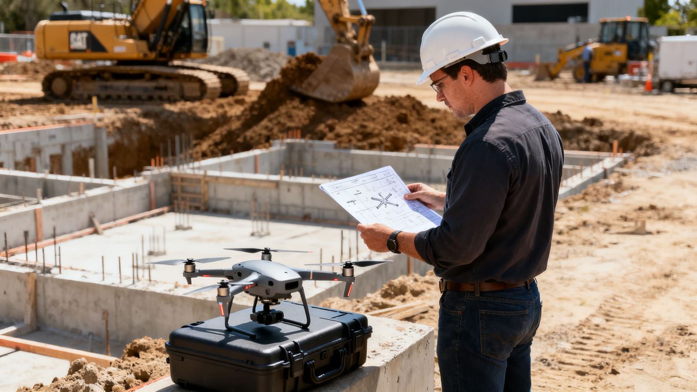
Defining the project areas and schedule milestones to monitor
Divide the site into practical monitoring zones, such as earthwork limits, building pads, structural areas, utility corridors, and laydown spaces. Then associate each zone with milestones that can be observed or measured. This creates a manageable capture plan and makes later comparisons easier to explain.
A zone may need more frequent review during a critical handoff than during a period of low activity. The plan should state what evidence will count as progress and which conditions should be escalated for a closer field review.
Choosing flight frequency based on construction pace
Flight frequency should follow the rate of change and the cost of waiting for reliable information. A slowly changing site may need periodic captures, while active grading, concrete placement, or complex coordination may justify more frequent documentation. The right cadence is the one that gives decision-makers information before the next meaningful choice is made.
Avoid treating daily flights as automatically better. Processing capacity, weather, site disruption, and review time all affect whether a high cadence produces useful decisions or simply creates an archive that grows faster than the team can evaluate.
Establishing repeatable flight paths and camera settings
Repeatability matters because comparisons are easier when the area, perspective, overlap, and image quality are reasonably consistent. Record the planned boundary, altitude or operating parameters where appropriate, camera settings, and any changes made for site conditions. A repeatable plan does not mean every flight will be identical; it means deviations are visible and explainable.
Before the first recurring capture, test the workflow on a representative area. Confirm that the resulting imagery shows the features needed for schedule review and that the file sizes and processing time fit the project’s reporting rhythm.
Coordinating pilots, site teams, and safety requirements
The pilot and site team should agree on access routes, active equipment, exclusion areas, overhead hazards, radio or phone contact, and the timing of the flight. A short preflight coordination step can prevent a safe operation from becoming a disruption to production. It also helps identify areas that cannot be captured and need another form of documentation.
Document who authorized the flight, who was notified, and what restrictions applied. Aeroskape provides aerial data capture for contractors, a service category that fits projects needing planned aerial visualizations, progress tracking, and compliance-oriented documentation.
Capture accurate imagery on active jobsites
Good schedule verification depends on the quality and consistency of the capture. A blurry image, incomplete site boundary, or poorly documented change in lighting can weaken an otherwise sensible comparison. Capture decisions should therefore reflect the intended measurement and review use, not just the desire for a broad overhead view.
Accuracy is also a matter of context. The final product should state what was captured, how it was positioned, and what it cannot establish. That discipline supports useful decisions without implying that every aerial output is a professional land survey.
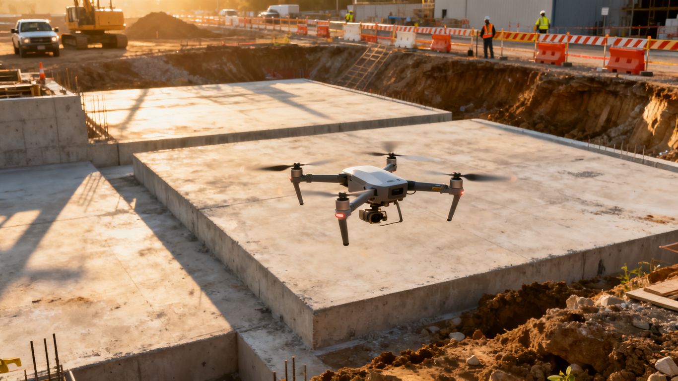
Selecting drones, sensors, and image resolutions
Choose the platform and sensor according to the features that must be seen or measured. High-resolution imagery may be appropriate for fine visual review, while LiDAR or other capture methods may better suit certain terrain, vegetation, or geometric questions. Coverage, battery planning, processing requirements, and site restrictions matter as much as camera resolution.
The deliverable should drive the choice. If the project only needs broad progress photographs, a different setup may be suitable than one intended to produce mapped surfaces or detailed 3D documentation.
Using ground control points and checkpoints
Ground control points and independent checkpoints can help connect imagery to known positions and provide a way to assess the resulting model. Place and document them so they remain visible, stable, and distributed across the area of interest. Their usefulness depends on proper placement, identification, and the accuracy of the reference information.
Do not present a controlled result as universally accurate. Report the tolerance appropriate to the method and purpose, and keep the control records with the project deliverable so another reviewer can understand how the output was checked.
Managing weather, lighting, obstructions, and site access
Wind, rain, glare, shadows, dust, reflective surfaces, cranes, temporary structures, and moving equipment can all affect capture quality. A flight plan should allow for safe alternatives, including postponement or a smaller capture area when conditions prevent reliable coverage. The safest decision may be to wait rather than force a flight into poor conditions.
Site access can change from one day to the next. Coordinate around deliveries, lifts, active work zones, and restricted areas, then note any parts of the site that were not captured. That note is essential when someone later interprets an apparently missing feature.
Documenting flight dates and field conditions
Each capture should have a simple field record: date and time, pilot, site area, weather, unusual lighting, access limitations, control status, and relevant operational notes. This information gives later reviewers a reason for differences between two captures and helps determine whether an apparent change is real.
A consistent record also makes handoffs easier. Project managers can connect the processed output to a schedule update without having to reconstruct the circumstances of the flight from memory.
Process imagery into usable construction documentation
Raw photographs become useful schedule evidence only after they are organized, processed, checked, and tied to a project question. Processing choices should be documented because changing software settings, boundaries, or reference data can affect comparisons between reporting periods.
The aim is not to create the most elaborate model possible. It is to produce a clear, appropriately accurate record that project participants can review and use. Aeroskape offers 3D aerial modeling from imagery, which aligns with workflows requiring high-resolution 3D models and visual data for planning or progress monitoring.
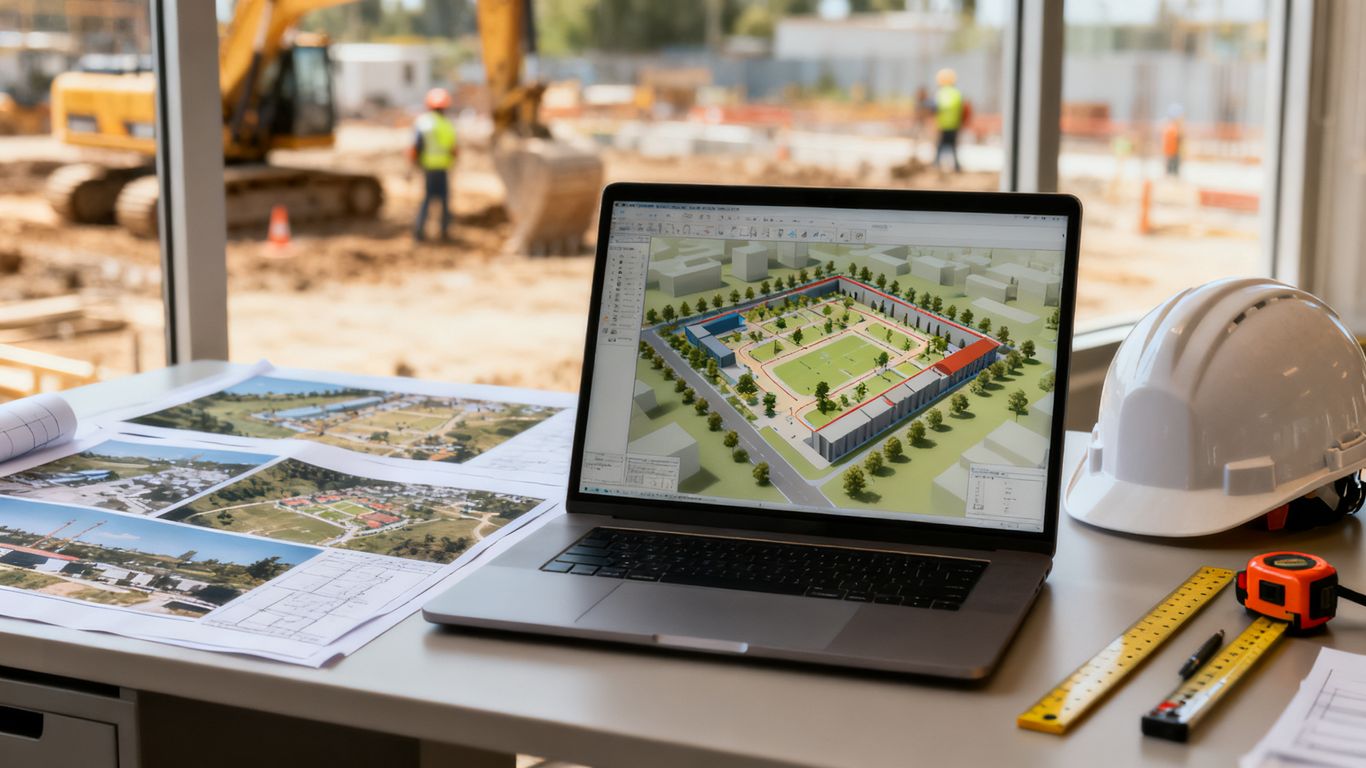
Creating orthomosaics, 3D models, and point clouds
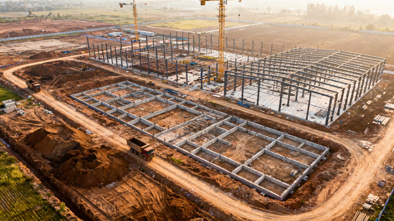
An orthomosaic can provide a consistent top-down view, while a 3D model or point cloud can help describe shape, elevation, and spatial relationships. Select outputs based on the question at hand. A schedule review may need a clear mapped surface and annotated photographs, whereas a quantity review may require a measurable model with documented control.
Explain the processing date, coordinate reference, covered area, and any excluded imagery. That basic metadata prevents users from treating every output as interchangeable.
Aligning current imagery with previous site captures
Alignment is central to change detection. Use consistent coordinate references, boundaries, and recognizable features where possible, then inspect the registration before drawing conclusions. If a previous capture used different control or coverage, state that limitation instead of presenting the comparison as exact.
Side-by-side views are useful for communication, but measured differences should come from the processed data and documented method. A visual change may reflect camera angle, shadow, temporary storage, or processing variation rather than completed construction.
Organizing files by location, date, and project phase
A predictable structure helps people find the evidence behind a schedule discussion. Use project and area identifiers, capture dates, phase names, output types, and revision information. Keep raw imagery, processed outputs, control records, review notes, and published reports connected but clearly distinguished.
The structure should work for someone joining the project months later. If a file name requires personal knowledge to interpret, the system is not yet doing enough of the recordkeeping work.
Checking image quality before analysis
Quality control should happen before measurements or schedule conclusions are published. Review coverage, focus, overlap, exposure, control visibility, model completeness, and obvious alignment errors. Flag areas affected by equipment, vegetation, shadows, or access restrictions.
Use a short acceptance checklist and record the reviewer’s decision. If a deliverable is incomplete but still useful for a limited purpose, describe that purpose clearly rather than allowing the output to circulate without context.
Compare drone data with the construction schedule
The comparison step translates mapped site conditions into schedule information. It requires a shared vocabulary between field teams, planners, engineers, and project leadership. Rather than asking whether an image “looks good,” ask which activity it supports, what physical evidence is visible, and how confident the team should be in the comparison.
This is where dated visual evidence becomes part of project controls. The imagery does not replace schedule logic or field verification, but it can expose a discrepancy early enough for the team to investigate and respond.
Linking visual evidence to activities and milestones
Create a direct connection between each observation and the schedule activity, location, and status date it relates to. An annotated map, measurement, or image reference should make it possible for another reviewer to find the evidence quickly. Use the same activity names and area labels as the project’s established controls when practical.
For complex work, one milestone may require several kinds of evidence: visible installation, quantity completion, inspection release, or access for the next trade. Aerial imagery usually addresses only the physical conditions it can observe, so the remaining evidence should be identified rather than assumed.
Using quantity and area measurements to assess completion
Measurements can improve percent-complete discussions when the quantity basis is agreed in advance. Define the boundary, unit, calculation date, and comparison baseline. For example, a mapped area may support a grading discussion, while a stockpile volume may support material tracking, subject to the accuracy and conditions of the capture.
The following structure keeps measurement conversations tied to their intended use:
| Evidence type | Useful schedule question | Key qualification |
|---|---|---|
| Orthomosaic or annotated photo | Is work visibly present in the planned area? | Visibility does not prove concealed completion. |
| Surface or 3D model | Has a measurable area or elevation changed? | Accuracy depends on control, coverage, and processing. |
| Point cloud or mapped feature | Does the installed geometry appear in the expected location? | Obstructions may hide or distort features. |
| Time-series comparison | Has the work front changed since the last status date? | Temporary staging can resemble permanent progress. |
The table is a guide for selecting evidence, not a substitute for project-specific acceptance criteria. When the measurement and schedule basis agree, the resulting conversation is usually more focused and easier to document.
Reviewing planned-versus-actual progress trends
A series of consistent captures can show whether a work area is advancing, stalled, or changing in a way the schedule does not anticipate. Plotting or annotating these observations against status dates helps the team see trends rather than overreact to one unusual capture. The review should include both completed work and constraints that may affect the next period.
Trend evidence is most useful when it reaches the people who can change sequencing, access, procurement, or staffing. A report that arrives after the decision window has little control value, even if the imagery itself is excellent.
Distinguishing schedule delays from temporary site conditions
A photograph can show that an area is occupied, wet, obstructed, or apparently inactive, but it cannot always explain why. Check weather, permits, inspections, design changes, material deliveries, and field reports before classifying the observation as a delay. The schedule comparison should distinguish an observed condition from the cause assigned to it.
That distinction protects the record and keeps discussions constructive. Drone data is strongest when it narrows the question that the project team must answer, rather than pretending to answer every contractual or operational question by itself.
Integrate verification into project controls
Aerial verification becomes more valuable when it follows the same reporting rhythm as the rest of the project. Decide where findings will be published, who reviews them, and how an observation becomes an action, decision, or approved change. Without that connection, even accurate imagery can remain isolated from the controls process.
The goal is a dependable handoff from capture to interpretation to action. Teams should be able to see what changed, understand its schedule relevance, and confirm what happened next.
Sharing findings with owners, contractors, and inspectors
Tailor the presentation to the audience without changing the underlying evidence. Owners may need a concise milestone view, contractors may need area-specific observations, and inspectors may need dated documentation tied to a defined condition. Use annotations and plain language to show what is known, what is uncertain, and what requires field confirmation.
A shared review can also reduce conflicting descriptions of the same area. Keep the published version controlled, and preserve comments or decisions that materially affect the project record.
Connecting drone outputs with BIM and project management platforms
Where the project’s systems support it, connect mapped imagery, models, or reports to locations, design references, activities, and issue records. The integration should preserve dates and revisions so users know which capture supports which decision. Start with a narrow, useful workflow rather than attempting to connect every possible data source at once.
Aeroskape describes 3D drone mapping for BIM as a workflow involving photogrammetry or LiDAR, updated 3D models, and scan-to-BIM coordination. Any integration should still be tested against the project’s own coordinate systems, permissions, naming conventions, and review requirements.
Updating look-ahead plans and recovery strategies
The schedule conversation should end with a practical response. If a work front is behind, the team may need to revise access, resequence trades, confirm materials, or create a recovery option. The aerial record can support that discussion by showing the affected area and the date when the condition was observed.
Do not treat a visual discrepancy as an automatic instruction to accelerate work. Confirm the cause, evaluate safety and quality implications, and record the responsible decision-makers before changing the plan.
Maintaining approval records and change documentation
Store the reviewed image, model, measurement, schedule reference, comments, and approval or disposition together. If the project uses formal change control, connect the aerial evidence to the relevant request, directive, or meeting record. This preserves the chain from observation to decision.
Revision history matters when updated processing or new field information changes an interpretation. A clear record should show what was known at the time and what was added later.
Address accuracy, compliance, and implementation challenges
A drone program is only useful when its limits are understood. Accuracy depends on capture conditions, control, processing, terrain, coverage, and the purpose of the measurement. Compliance also extends beyond the aircraft: privacy, site safety, airspace, permissions, data handling, and contractor coordination all belong in the workflow.
Start with a modest, repeatable use case and evaluate whether the information arrives in time to affect decisions. Aeroskape’s aerial data collection services are positioned around site visibility, documentation, and project decision support, but each project still needs its own scope, safety plan, and acceptance criteria.
Understanding survey tolerances and measurement limitations
State the expected tolerance and the conditions that may affect it before measurements are used for payment, acceptance, or dispute review. Surface complexity, vegetation, water, reflective materials, occlusions, control quality, and model resolution can all influence the result. A mapped quantity may be suitable for planning while requiring additional verification for a contractual determination.
This boundary is particularly important in California. Drone imagery and processed models can support construction documentation, but they should not be presented as professional land surveying services when the work falls within regulated surveying practice.
Protecting privacy, safety, and airspace compliance
Establish who may authorize flights, how workers and visitors will be protected, what airspace requirements apply, and how imagery containing people or neighboring property will be handled. Coordinate with the site’s safety lead and follow applicable aviation and operating requirements. A written preflight process is easier to review than informal assumptions.
Data security deserves similar attention. Limit access to project participants who need it, preserve the original records appropriately, and define how long imagery and derived outputs should be retained.
Managing inconsistent imagery and incomplete site coverage
Not every capture will be comparable. Weather, equipment changes, blocked areas, altered control, and different processing settings can create gaps in a time series. Mark those gaps clearly and avoid drawing a trend from captures that do not share a reasonable basis.
When coverage is incomplete, combine the aerial record with ground photographs, field reports, or another approved source. The aim is a transparent record of what was observed, not an artificially complete picture.
Calculating costs, time savings, and return on investment
Evaluate the workflow against the decisions it improves, not only against the number of flights. Consider planning and pilot time, processing, storage, review, safety exposure, reduced travel, earlier issue discovery, and the cost of acting on incomplete information. Compare those inputs with the value of more timely quantity checks, clearer coordination, or better documentation.
A practical pilot can establish a baseline: how long the existing process takes, how often information is available, which errors or delays occur, and what changes after aerial verification is introduced. That evidence gives the team a more credible basis for expanding the program.
Conclusion
Using drone imagery for construction schedule verification is most effective as a disciplined project-control practice: define the question, capture consistently, process carefully, compare against the schedule, and preserve the reasoning behind each decision. Teams that need organized aerial information can request project support from Aeroskape, while still defining project-specific requirements for safety, accuracy, compliance, and review.
Frequently Asked Questions
What does construction schedule verification with drone imagery involve?
It involves capturing dated aerial information, processing it into usable maps or models, and comparing observable site conditions with planned activities, milestones, and quantities.
How often should a construction site be captured?
The appropriate frequency depends on how quickly the site changes, which milestones matter, how soon decisions must be made, and how much processing and review capacity the team has.
Can drone imagery prove that a schedule activity is complete?
It can provide visual or measured evidence of observable conditions, but it may not confirm concealed work, inspections, approvals, or contractual completion without supporting records.
What outputs are useful for progress reviews?
Common outputs include dated aerial photographs, orthomosaics, 3D models, point clouds, measurements, annotations, and comparisons with earlier captures or design references.
How can teams improve the accuracy of drone measurements?
Use appropriate capture settings, sufficient coverage, documented control and checkpoints, consistent processing, quality checks, and clearly stated tolerances and limitations.
What should be recorded after each flight?
Record the date and time, area captured, pilot, field conditions, access limitations, control information, unusual conditions, processing details, and any areas that were not covered.
Can drone data replace every site inspection or survey?
No. Drone data can reduce some exposure and improve visibility, but it does not replace required inspections, professional judgments, regulated surveying services, or field verification of conditions that imagery cannot observe.