Drone punch list documentation for commercial construction
Key Takeaways
Drone imagery can make commercial construction punch lists more complete, safer to inspect, and easier to verify. The strongest results come from a repeatable workflow rather than from the flight alone.
- Define inspection areas, milestones, and acceptance criteria before flying.
- Use consistent flight paths, camera settings, and file names for useful comparisons.
- Pair aerial evidence with ground inspections for interior details and close-up defects.
- Turn every observation into a location-specific item with an owner and next action.
- Preserve compliance records and measure whether the process improves closeout.
Understand the role of drones in commercial construction punch lists
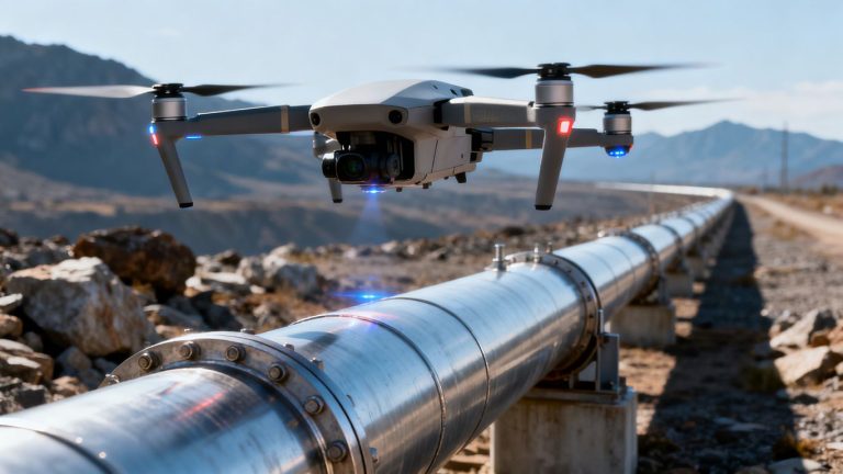
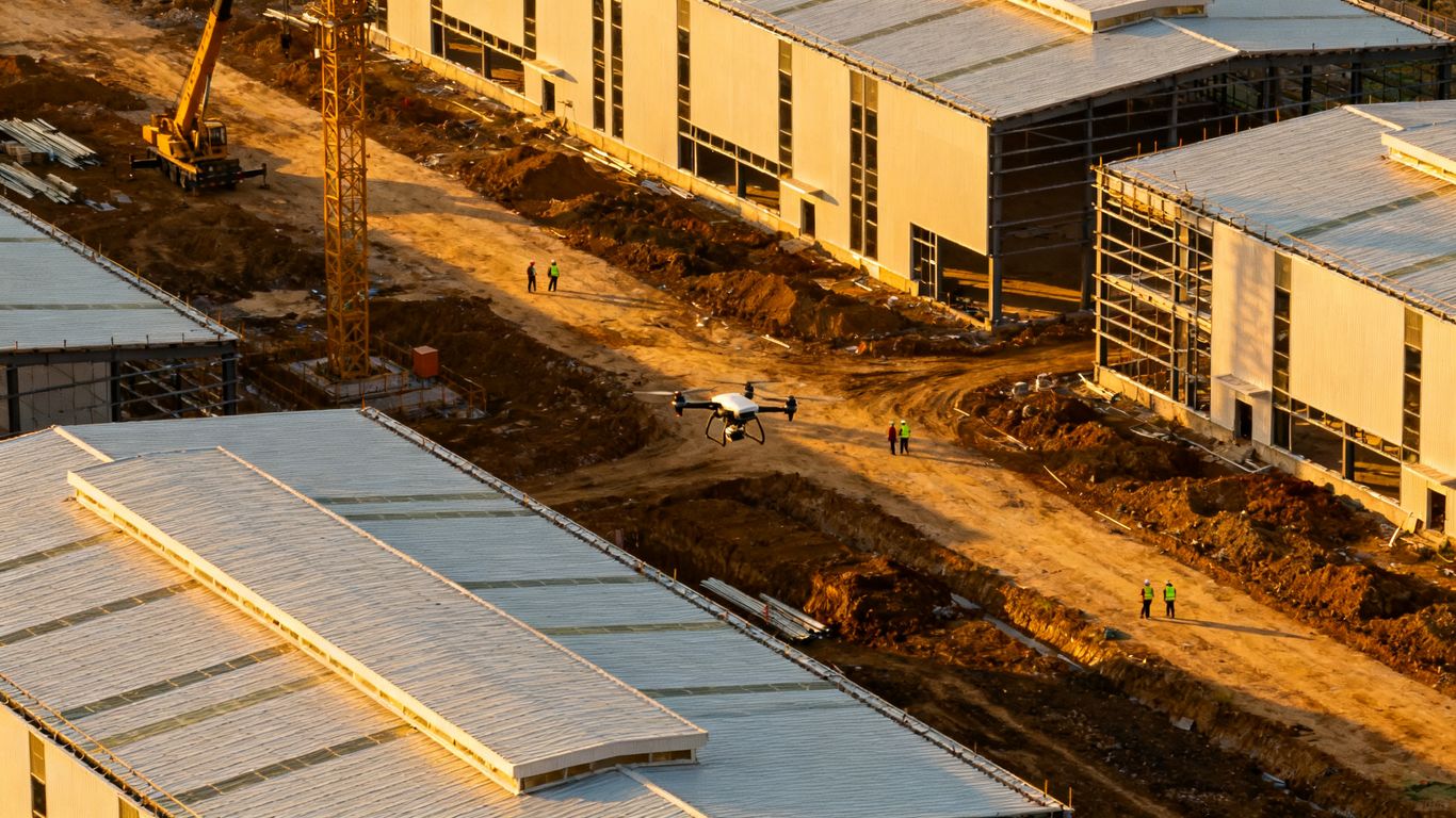
A drone does not replace a punch walk. It adds a visual layer that helps teams inspect exterior conditions, review inaccessible areas, and preserve dated evidence of what was visible at a particular stage. Good drone punch list documentation commercial construction work is therefore less about collecting attractive aerial footage and more about creating records that someone can retrieve and act on.
What drone punch list documentation includes
A useful record normally combines still images, video, capture dates, flight locations, and enough site context to identify the building area. It may also include orthomosaic maps, 3D models, thermal reports, or measurements when those deliverables suit the inspection question. The record should make clear whether an image shows unfinished work, a suspected defect, a safety concern, or simply a condition that needs closer review.
The best documentation also preserves the relationship between the broad view and the detail view. An image of an entire façade gives context, while a closer frame can show the joint, panel, coping, or opening that needs attention. Without that connection, a folder full of images still leaves reviewers guessing.
How aerial imagery complements traditional inspections
Aerial capture is particularly useful for roofs, upper façades, parapets, site edges, and other places that are costly or hazardous to reach. It gives the superintendent, architect, owner, and trade partner a shared visual reference before someone decides whether a lift, scaffold, or hands-on inspection is necessary. Ground teams remain essential for interiors, concealed assemblies, tactile checks, and workmanship questions that a distant camera cannot settle.
A hybrid approach is usually more reliable than choosing one method. Guidance on drone vs. manual inspections similarly frames aerial data as a complement to manual evaluation, especially when exterior coverage and worker safety are priorities.
Which construction defects drones can and cannot document
From a suitable distance, a drone may document visible staining, missing exterior components, damaged finishes, ponding, incomplete sitework, debris, or apparent alignment issues. It can show where a condition is located and how extensive it appears. It cannot, by itself, confirm concealed damage, verify a fastener’s torque, establish the cause of moisture, or determine whether a component meets a specification.
That boundary should appear in the punch list itself. Use language such as “visible gap at west elevation” or “area requires ground verification,” rather than turning an image into an unsupported diagnosis. Clear limits protect decisions and reduce the chance that a visual observation is mistaken for a final technical finding.
When drone capture adds the most value
Drone capture is most valuable when access is difficult, the exterior is large, conditions are changing quickly, or several parties need the same evidence. It is also useful before closeout, when a consistent record can help distinguish work completed since the last visit from items that remain open. Repeated imagery becomes more informative when it uses the same viewpoints and a known schedule.
For a broader look at construction drone photography, teams can consider how aerial views support site surveys, progress tracking, inspections, and asset documentation without treating every flight as a punch inspection.
Plan a drone-based punch list workflow
A practical workflow starts before the aircraft leaves the ground. The team should agree on what will be inspected, when evidence is needed, who can approve a flight, and how findings will move from observation to resolution. A small amount of planning prevents a large amount of sorting later.
Define project areas, milestones, and inspection criteria
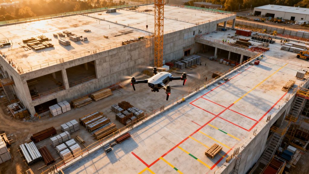
Break the site into recognizable zones: roof sections, elevations, courtyards, parking areas, retaining features, and active work fronts. Pair each zone with milestones such as enclosure, weatherproofing, substantial completion, or final exterior review. Inspection criteria should describe what reviewers are looking for, including incomplete installation, visible damage, water management concerns, housekeeping, or discrepancies from the approved design.
The criteria should be specific enough to guide the pilot and reviewer, but not so narrow that an obvious issue is ignored. A short preflight brief can identify priority areas, recently changed conditions, and surfaces that need close coverage.
Coordinate drone flights with site access and safety requirements
Flight planning belongs in the site coordination process. Confirm access windows, active cranes, delivery routes, exclusion zones, nearby occupants, and the location of people working below or near the planned path. The pilot should know who can pause work and who receives the all-clear before launch.
A local provider such as 1st Choice Aerials describes its construction services as including site evaluations, progress monitoring, and aerial inspections. Whether the work is internal or outsourced, the same principle applies: define the operational handoff instead of treating the flight as an isolated media task.
Establish naming conventions and file organization
File names should answer basic questions without opening every image: project, date, zone, elevation, capture type, and sequence. Keep original files separate from edited exports, and retain a simple index that connects flight folders to the inspection milestone. Consistency matters more than cleverness.
A straightforward folder structure might separate raw imagery, reviewed evidence, issued punch items, and closeout verification. Avoid renaming files in ways that erase the original capture date or sequence, since those details can matter when conditions are disputed.
Assign responsibility for reviewing and resolving issues
The pilot collects evidence, but the project team decides what the evidence means and what happens next. Establish a reviewer who can classify observations, a trade lead who can respond, and a project manager who can close or escalate the item. Set a review window while the site conditions are still familiar.
A simple responsibility map keeps the workflow moving:
- The pilot confirms coverage, capture time, and flight records.
- The reviewer validates the location and describes the visible condition.
- The responsible trade proposes or completes the corrective action.
- The project manager verifies closure and preserves the supporting evidence.
This division prevents a common failure: a well-organized image archive with no clear owner for the work it reveals. The image is useful only when it enters a decision process.
Capture high-quality imagery for punch list records
Image quality is not just resolution. A technically sharp photograph can still be poor documentation if it lacks scale, location, consistent lighting, or a view that explains the condition. Capture should be planned around the question the reviewer needs to answer.
Choose the right drone, camera, and flight settings
Select aircraft and cameras according to the site, required detail, weather, and operating constraints. Use settings that preserve detail without producing motion blur, and capture both context and closer views where safe and permitted. If thermal imagery or measurement deliverables are required, confirm that the sensor and processing workflow support that purpose before the flight.
The aircraft should also be appropriate for the environment. A compact system may be practical for constrained areas, while a platform with better stability or specialized sensors may suit larger or more demanding inspections. Equipment choice should follow the inspection requirement, not the appeal of a particular specification.
Plan repeatable flight paths and coverage zones
Repeatability makes change easier to see. Record the approximate altitude, direction, camera angle, orbit position, and zone boundaries for recurring captures. Mark the areas that need overlapping coverage, and include a few stable reference views so later reviewers can compare like with like.
For larger sites, divide the work into flights that can be reviewed independently. This keeps filenames and locations manageable and makes it easier to identify a missed elevation before the crew leaves the site.
Capture roofs, façades, sitework, and hard-to-reach areas
Start with the broad context, then move toward the detail that supports a likely punch item. Roofs may require edge, drain, penetration, and surface views; façades may need elevation-wide images followed by focused views of joints, openings, or finishes. Sitework capture can document access, grading appearance, paving, drainage features, and remaining materials from a consistent perspective.
The goal is not to force every condition into an aerial frame. If a suspected issue requires touch, measurement, or interior access, record the visible clue and route it to the appropriate ground inspection.
Protect image quality in changing weather and light
Weather, glare, haze, wind, and low sun can all alter what a camera reveals. Avoid capturing a critical comparison under conditions that make the previous record impossible to interpret. Note unusual weather or lighting in the flight record, and reshoot important areas when the difference could affect judgment.
The broader construction documentation process benefits from dated images taken from consistent vantage points. That discipline matters here too: a plain, repeatable image often has more closeout value than a dramatic but incomparable view.
Turn drone data into actionable punch list items
The handoff from imagery to punch list is where many programs either become useful or stall. A reviewer must be able to locate the condition, understand what is visible, identify who should respond, and know what evidence will close the item. A photo alone is not a complete issue record.
Link photos and video to precise building locations
Use floor plans, elevation names, grid lines, roof zones, or site coordinates to connect each observation to a physical place. When possible, include one context image and one detail image. The context frame helps a trade find the area, while the detail frame supports the description.
If the team uses maps or models, keep the location label consistent across the image folder, punch list, and project record. A location such as “north elevation, level 3, bay 6” is far more actionable than “back wall.”
Add descriptions, severity levels, and responsible trades
Descriptions should state what is visible and what action is needed without overstating certainty. Severity can reflect safety, water intrusion risk, impact on occupancy, schedule, or the need for further investigation. Assign the responsible trade only after checking scope and site conditions.
A useful issue record typically includes these fields:
| Field | Practical purpose | Example approach |
| Location | Directs the team to the condition | East elevation, level 2, grid C |
| Observation | Describes what the image shows | Sealant appears incomplete at joint |
| Priority | Supports sequencing | High, medium, or routine |
| Responsible trade | Identifies the next owner | Exterior envelope trade |
| Closure evidence | Defines what resolves the item | New image after repair and review |
The table is a starting structure, not a substitute for judgment. A reviewer should still explain why an item matters and what would count as satisfactory completion.
Distinguish incomplete work from visible defects
An unfinished area may be correct for the project phase, while a damaged or poorly installed element may be a defect. Compare the image with the schedule, approved drawings, specifications, and recent progress record before assigning blame or urgency. This distinction keeps the punch list fair and prevents normal sequencing from becoming unnecessary rework.
When the evidence is ambiguous, mark the item for verification. A carefully limited observation is more useful than a confident conclusion that a trade later has to challenge.
Create documentation that contractors can act on
Contractors need a location, a condition, an expected action, and a path to closure. Avoid vague notes such as “fix façade” when the image can support a more precise instruction about the elevation, component, or visible deficiency. Include the capture date when timing affects responsibility.
The same evidence can support a construction punch list workflow when teams need to create, manage, and resolve items from visual records. The tool or folder structure matters less than whether each item remains connected to a place and a decision.

Manage compliance, privacy, and jobsite safety
A punch list flight still carries operational and legal responsibilities. The team must plan for airspace, people, property, equipment, and data before capture begins. Treat compliance as part of the workflow, not as paperwork added after the fact.
Follow FAA requirements for commercial drone operations
Commercial operators in the United States generally need to follow applicable FAA requirements, including the rules governing remote pilots, aircraft operations, airspace, and authorizations. Requirements can vary with the location and mission, so the responsible operator should verify current conditions before each flight rather than relying on an old approval.
The project team should also understand who is legally responsible for the operation. Hiring a pilot does not remove the need for site coordination or a clear record of permissions.
Maintain flight logs, pilot credentials, and site approvals
Keep the pilot’s credentials, aircraft information, date and time, location, weather notes, authorizations, and site approval with the project record. If a flight is paused, repeated, or altered, note why. These details make the imagery easier to trust and easier to explain later.
A consistent log also helps identify why two captures differ. The explanation may be a changed flight path, different light, or a new obstruction rather than a construction change.
Protect workers, occupants, and neighboring properties
Use exclusion zones, spotters where appropriate, controlled launch areas, and clear communication with crews. Never assume that a quiet moment means the site is safe to fly. Consider neighboring lots, public areas, occupied spaces, and sensitive operations when selecting the route and camera angle.
Safety planning should favor the least disruptive capture that answers the inspection question. If the flight creates more risk than value, use a ground camera, lift, or scheduled inspection instead.
Address privacy, security, and data retention concerns
Images can capture workers, occupants, license plates, neighboring property, or security-sensitive areas. Limit collection to what the project needs, control access to raw files, and establish retention periods before the archive grows. Share edited or cropped evidence when full-resolution originals are not necessary for the recipient.
The project’s information requirements should guide retention. Preserve records needed for closeout, claims, or contractual obligations, and dispose of material that has no continuing purpose according to the project’s policy.
Integrate drone documentation with construction technology
Aerial imagery becomes more useful when it can be found beside the project information it explains. Integration does not require every team to build a complex system. It requires stable identifiers, compatible exports, and a clear source of truth for current issues.
Connect aerial data with BIM, plans, and site maps
Use consistent coordinates, elevations, grid references, and zone names when connecting imagery to drawings, models, or site maps. Depending on the scope, teams may use orthomosaic maps, 3D models, thermal reports, or other processed deliverables. The chosen output should answer a defined project question rather than add data for its own sake.
Resources on drone data for construction workflows describe these kinds of deliverables across planning, monitoring, inspections, and final documentation. In a punch list context, the main benefit is traceability: reviewers can move from a broad site view to the exact area under discussion.
Sync punch list records with project management platforms
If the project uses a management platform, establish how image links, locations, status fields, comments, and closure evidence will be transferred. Avoid parallel lists that can drift apart. One system should show the current status, while the underlying image archive preserves the original evidence.
Test the process with a small set of items first. A short pilot will expose mismatched field names, permission problems, and file-size limits before the closeout period becomes busy.
Use progress comparisons to verify completed work
Compare images only when their viewpoints, dates, and conditions are understood. A before-and-after pair can show that a visible issue changed, but it may not prove that the underlying work meets every specification. Use the comparison to guide verification, then retain the final evidence with the item’s closure record.
Repeated captures also help separate genuine progress from a change in camera position. That is why planned routes and stable reference views matter as much as image sharpness.
Preserve an auditable record for owners and stakeholders
An auditable record should show what was captured, when it was captured, how it was reviewed, what decision followed, and how the item was closed. Keep the original file, issued image, description, status history, and final verification connected where practical. Owners and stakeholders can then see not only the result but the path to that result.
The record should remain understandable to someone who was not on the site that day. Plain location labels and restrained descriptions usually serve that audience better than unexplained technical output.
Measure the impact of drone punch list documentation
Measurement should focus on decisions and outcomes, not on the number of images collected. A program earns its place when it improves coverage, reduces avoidable exposure, shortens review cycles, or gives stakeholders better evidence. Establish a baseline before changing the process.
Track inspection time and coverage improvements
Record how long comparable areas take to inspect, how many zones are covered, how often a return visit is required, and how much time reviewers spend finding evidence. Do not treat a faster flight as an improvement if it produces more ambiguity or missed conditions.
The site coverage page on drone progress monitoring discusses faster aerial surveys and consistent visual reporting as ways to improve oversight. For an individual project, measure actual time saved rather than adopting a general claim as a guaranteed result.
Monitor closeout speed and repeat deficiencies
Track the time from capture to issued item, from issued item to response, and from response to verified closure. Also count items reopened because the first correction was incomplete or the evidence was insufficient. These measures show whether documentation is helping the closeout process or merely adding another review step.
A declining number of repeated deficiencies may indicate that trades are receiving clearer information. It may also reflect a change in scope, so interpret the numbers alongside project phase and work type.
Evaluate documentation accuracy and stakeholder visibility
Sample closed items and ask whether an independent reviewer can locate the condition, understand the observation, and confirm the resolution. Check for missing zones, mislabeled files, unsupported conclusions, and images that do not show enough context. Feedback from owners, architects, superintendents, and trade partners can reveal different gaps in the same record.
The strongest documentation is understandable without a meeting to decode it. That standard is demanding, but it is a useful test for any visual inspection process.
Build a repeatable process for future projects
After closeout, revise the flight plan, naming rules, review roles, and retention policy based on what actually happened. Keep templates for zone maps, flight logs, issue fields, and acceptance criteria, but allow each project to adjust them for its site and contract. A repeatable process should reduce setup time without turning judgment into a rigid checklist.
The result is a practical system: capture only what answers a project question, describe it precisely, assign it clearly, and preserve the evidence needed to verify the outcome.
Conclusion
Drone imagery can strengthen commercial construction punch lists when it is treated as project evidence rather than standalone photography. With planned coverage, careful limits, clear issue ownership, and a documented path to closure, aerial records help teams inspect difficult areas and make closeout decisions with greater confidence.
Frequently Asked Questions
What is drone punch list documentation in commercial construction?
It is a structured record of aerial images or video used to identify, locate, review, and verify exterior construction conditions during closeout or other inspection milestones.
Can drones replace a traditional punch walk?
No. Drones can improve exterior coverage and access, but traditional inspections remain necessary for interiors, concealed work, tactile checks, measurements, and detailed technical verification.
What construction areas are best suited to drone inspection?
Roofs, upper façades, parapets, site edges, large exterior surfaces, and difficult-to-reach areas are often good candidates, provided the flight can be conducted safely and legally.
How should a drone image become a punch list item?
Connect it to a precise location, describe only what is visible, assign a priority and responsible trade, state the expected action, and define what evidence will verify completion.
How often should a construction site be captured?
The schedule should follow project milestones, risk, scope, and the rate of change. Weekly, milestone-based, or targeted captures may all be appropriate depending on the project.
What records should be kept for a commercial drone flight?
Keep applicable pilot credentials, flight details, aircraft information, approvals, weather notes, original imagery, processed outputs, and the review or issue records connected to the capture.
How can teams improve the quality of drone punch list records?
Use repeatable routes, consistent naming, context and detail images, clear location references, careful weather notes, and a defined review process that includes trade ownership and closure verification.