Aerial mapping for Central Valley civil engineering projects: A practical guide to planning, accuracy, and project delivery
Key Takeaways
Aerial mapping can give Central Valley project teams a clearer starting point, provided the work is planned around engineering requirements rather than imagery alone.
- Define the survey boundary, accuracy requirements, coordinate system, and final deliverables before collecting data.
- Match photogrammetry, LiDAR, or orthomosaic imagery to terrain, vegetation, access, and project goals.
- Use control points, checkpoints, and documented quality checks to evaluate whether data is fit for design decisions.
- Treat aerial mapping as a complement to—not an automatic replacement for—traditional field surveying.
- Select a provider that delivers organized, decision-ready information with clear limits and supporting documentation.
Understanding the role of aerial mapping in Central Valley civil engineering
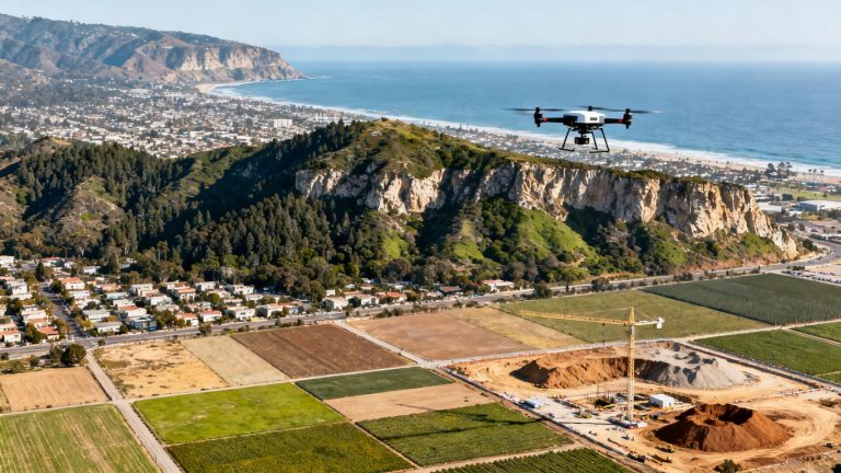
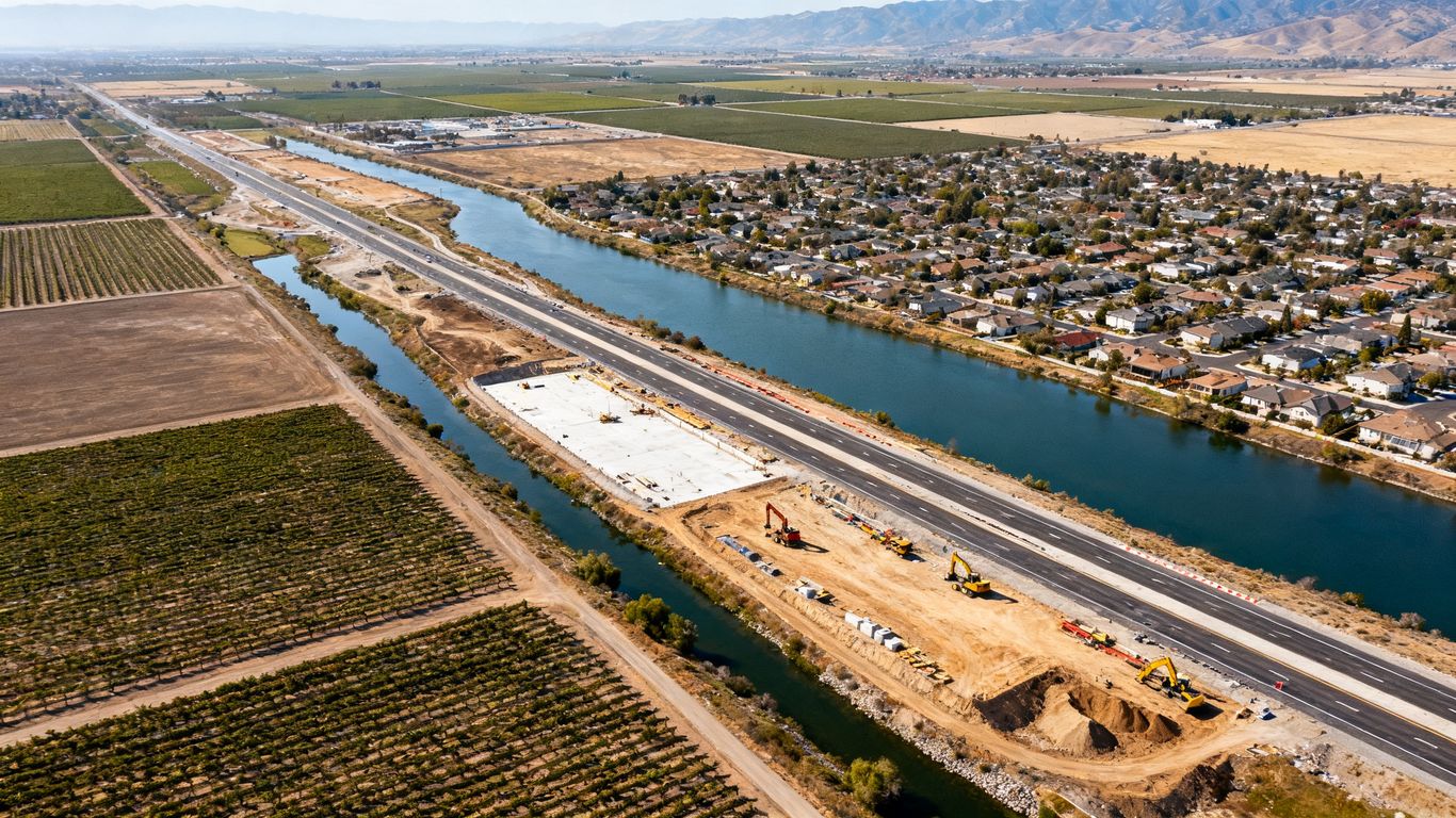
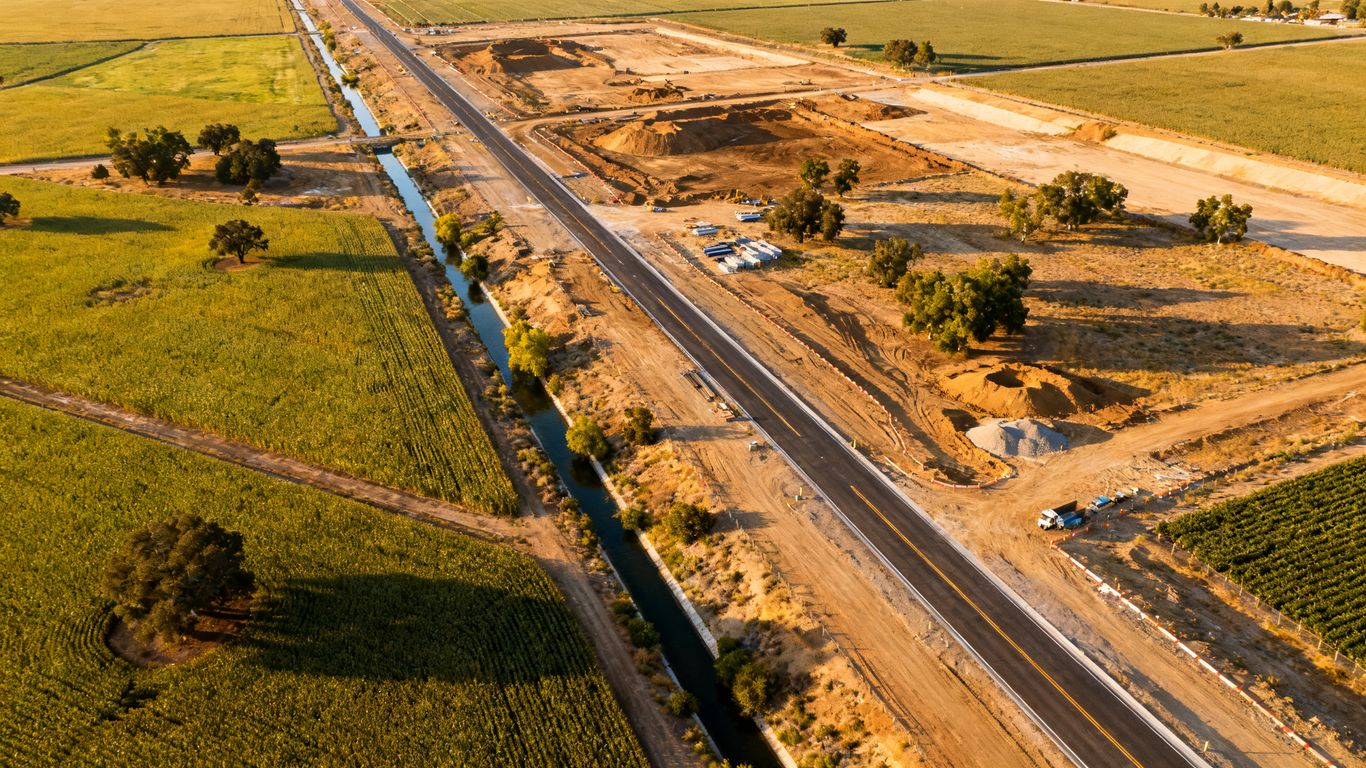
For teams working on aerial mapping for central valley civil engineering projects, the first question is not which drone to use. It is what decisions the resulting data needs to support. A well-planned flight can provide current visual context, surface information, and repeatable documentation across a site, but its value depends on how clearly the work is scoped. In the Central Valley, that scope often crosses farmland, growing communities, roads, canals, and active construction areas.
How aerial mapping supports site feasibility and due diligence
Early mapping helps a project team understand what is on a property before design assumptions become expensive. A current overhead view can reveal access patterns, drainage paths, stockpiles, visible improvements, and relationships between a proposed site and its surroundings. It can also give engineers a common reference for discussing constraints with owners, planners, and contractors.
The output should be treated as project information, not as a substitute for every legal or engineering determination. Aerial capture may reduce uncertainty during due diligence, while boundary, legal, and certified survey questions still require the appropriately licensed professional.
Common project types, from roadway improvements to land development
The same basic workflow can support very different civil projects. Roadway and transportation work may need corridor context and existing-condition documentation, while land development teams may focus on grading concepts, drainage, access, and phasing. Public works, utility, agricultural, and construction teams likewise benefit when current site information is easier to review than scattered field photographs.
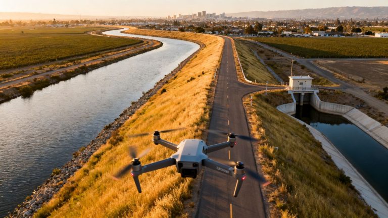
For larger water-related planning, the surrounding system matters as much as the parcel itself. The Central Valley water infrastructure context illustrates why canals, flood management, agriculture, and urban demand can intersect in one project area. Mapping does not resolve those policy or design questions, but it can make the physical setting easier to understand.
Central Valley terrain, agriculture, waterways, and urban growth considerations
The region can look flat from a distance while still containing meaningful changes in grade, swales, embankments, irrigation features, and low-lying areas. Seasonal crops may hide ground conditions, and waterways can create access and safety constraints. Meanwhile, expanding development places rural parcels, road improvements, and existing neighborhoods closer together.
Those conditions affect timing and sensor choice. A flight plan should account for crop height, dust, wind, reflective water, tree cover, nearby homes, and the possibility that a single visit will not capture every useful condition. Context drives accuracy as much as the capture hardware does.
When aerial mapping complements traditional land surveying
Aerial mapping is especially useful for broad visual coverage, repeat visits, construction documentation, and areas that are difficult or inefficient to inspect on foot. Ground methods remain valuable for points hidden by vegetation or structures, legal boundaries, detailed utility verification, and work requiring professional certification.
The practical approach is often a coordinated one: use aerial data to understand the site and prioritize field effort, then use supplemental surveying where the design or regulatory requirement calls for it. Aeroskape provides drone-based imaging and aerial data capture; clients requiring certified or survey-grade deliverables should engage a Professional Land Surveyor.
Choosing the right aerial mapping method
Different mapping methods answer different questions. Photogrammetry can create detailed visual and three-dimensional site information, LiDAR can help with elevation and point-cloud analysis, and orthomosaics provide a consistent overhead record. The right choice follows from the terrain, the required accuracy, the presence of vegetation, and how the design team will use the final files.
Drone photogrammetry for detailed topographic data
Photogrammetry uses overlapping photographs to build mapped imagery and three-dimensional information from visible surfaces. It is a practical fit when the site is relatively open and the team needs strong visual detail alongside surface modeling. Lighting, image overlap, ground texture, and control all influence the result.
For construction teams that need high-resolution 3D aerial modeling for planning, progress tracking, and decision-making, Aerial Data Capture is a relevant service page to review. The deliverable discussion should still specify the expected file types, accuracy, and intended use rather than relying on the word “mapping” alone.
LiDAR for vegetation, elevation, and corridor analysis
LiDAR measures distance with laser returns and produces dense point-cloud information that can be useful for elevation and surface analysis. It may be preferable where vegetation or corridor conditions make image-based interpretation difficult, although the final usefulness of the data still depends on point density, filtering, control, and what reaches the ground.
Aeroskape describes Aerial LiDAR as producing dense point clouds for site analysis and visualization. That source also states that clients needing certified or survey-grade deliverables should engage a Professional Land Surveyor, so the product should be scoped as visualization and project data unless a qualified survey professional is separately responsible for certification.
Orthomosaic imagery for visual documentation and site monitoring
An orthomosaic combines corrected aerial photographs into a map-like image that can be reviewed against plans, previous captures, or field observations. It is useful for documenting existing conditions, organizing site discussions, and tracking visible changes over time. It does not automatically provide every elevation or boundary answer an engineer may need.
For projects where detailed, geo-referenced aerial imagery is the priority, Aeroskape’s orthomosaic mapping page describes high-resolution orthomosaic mapping across California. The project brief should connect that imagery to a specific review task, such as site planning, construction monitoring, or agricultural management.
Selecting sensors based on accuracy, terrain, and project goals
Sensor selection should happen after the team defines the decision the data will support. A clear comparison can keep the proposal grounded in deliverables rather than equipment names.
| Method | Useful when | Main consideration | Typical review focus |
|---|---|---|---|
| Photogrammetry | Open sites with visible surfaces | Image overlap, texture, lighting, and control | Visual detail and surface modeling |
| LiDAR | Vegetated or corridor environments | Point density, filtering, and ground returns | Elevation and point-cloud analysis |
| Orthomosaic imagery | Documentation and repeat monitoring | Georeferencing and consistent capture | Site conditions and visible change |
The selected method should be checked against access, vegetation, water, expected ground conditions, and the software used by the design team. A mixed approach may be sensible, but only when each component has a defined purpose.
Planning an aerial mapping project from start to finish
Good fieldwork begins with a useful brief. The project team should identify the area to be captured, the conditions that may affect collection, the people who need the outputs, and the decisions that depend on them. Planning also covers safety, access, airspace, weather, and processing time—not just the flight itself.
Defining the survey area, control points, and required deliverables
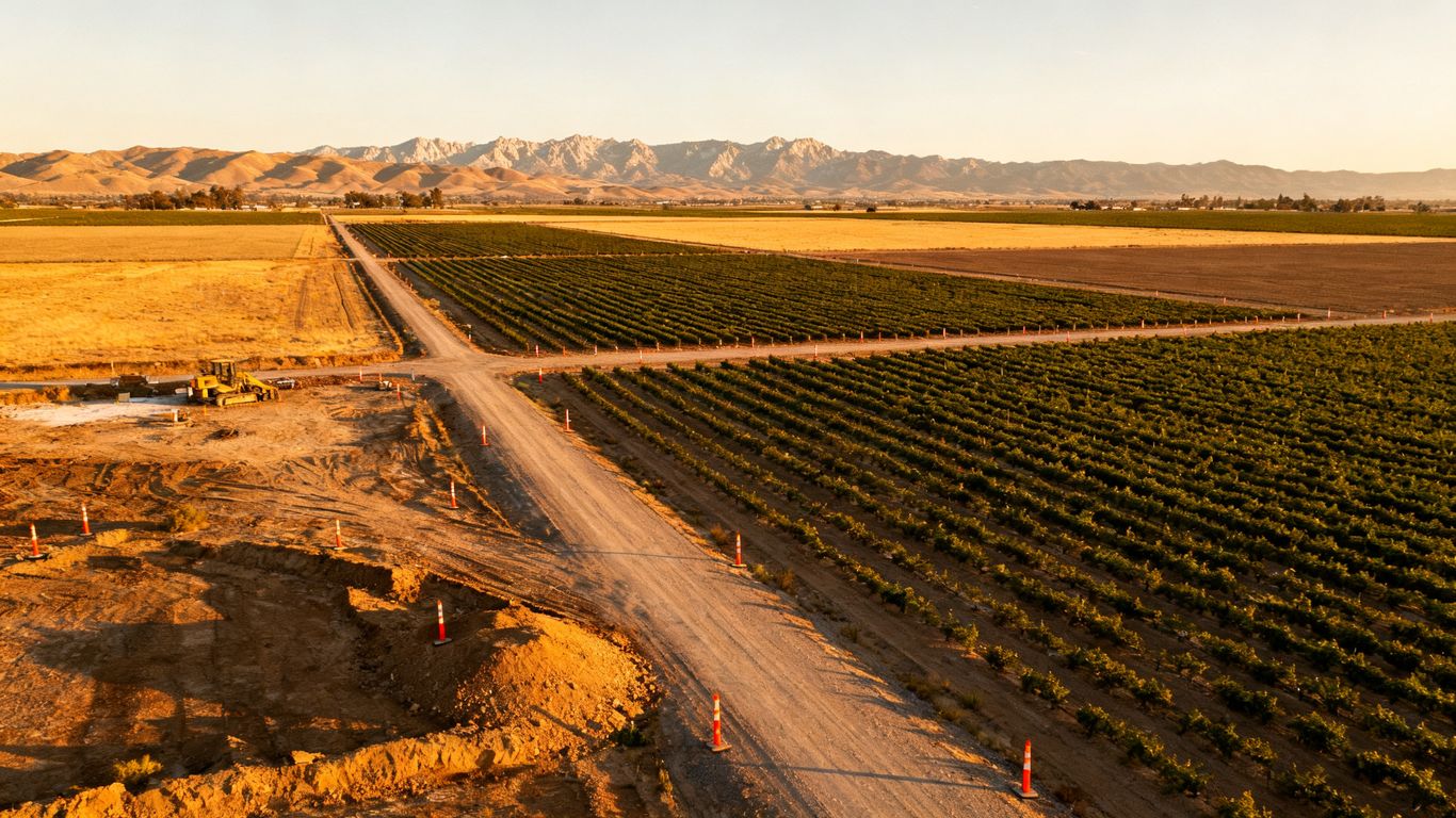
Draw the area of interest clearly and include adjoining features when they affect access, drainage, traffic, or design context. Then identify control points and checkpoints, the target ground sample distance or point density, the coordinate reference, and the formats required by engineering, GIS, or construction software.
A useful scope names both what will be delivered and what will not. For example, an orthomosaic, point cloud, surface model, photographs, or progress report may each serve a different review need. Leaving those distinctions vague makes later comparisons difficult.
Coordinating flights around weather, crops, traffic, and active construction
Central Valley conditions can change the quality and safety of a capture. Wind, heat shimmer, dust, crop cycles, standing water, equipment movement, and traffic near a corridor all deserve a place in the flight plan. Active sites also require coordination with the superintendent so the aircraft operation does not interfere with crews or deliveries.
Repeat monitoring benefits from consistency. Similar flight boundaries, capture timing, and processing conventions make changes easier to interpret, while a written exception log explains why one visit may not be directly comparable to another.
Managing airspace, property access, and local operating constraints
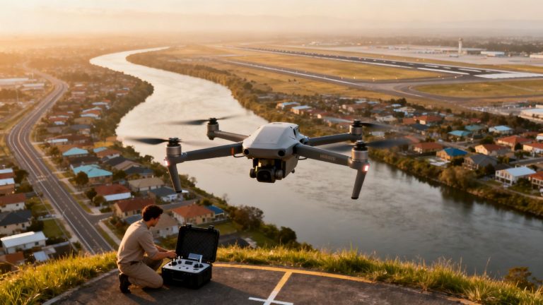
Before fieldwork, confirm permission to enter and capture the property, identify nearby airports or restricted areas, and coordinate with occupants and site managers. The operator should also establish launch and recovery locations, emergency procedures, visual observation requirements, and a process for stopping work when conditions change.
These details protect the schedule as well as people and property. A technically suitable site can still be a poor flight location if access is uncertain or the operating window is too narrow.
Building a realistic schedule for fieldwork and data processing
A mapping schedule should include more than the time spent in the air. It needs room for mobilization, control placement, weather delays, image or sensor processing, quality review, revisions, and stakeholder delivery. If the information will guide a near-term design decision, that decision date should shape the capture and review sequence.
A compact planning sequence is often enough to expose gaps:
- Confirm the area, access permissions, and operating constraints.
- Set control, checkpoints, accuracy targets, and coordinate requirements.
- Capture the site and record weather, exceptions, and field observations.
- Process, review, and package the agreed deliverables.
That sequence keeps field collection connected to the final engineering use. It also gives the project manager clear points at which to approve, question, or revise the work before it moves downstream.
Evaluating accuracy and engineering-grade data quality
Accuracy is not a single number printed on a proposal. It is the relationship between the capture method, control network, terrain, processing, coordinate system, and intended use. A map can look exceptionally detailed and still be unsuitable for a particular design or certification requirement.
Ground control points and checkpoints
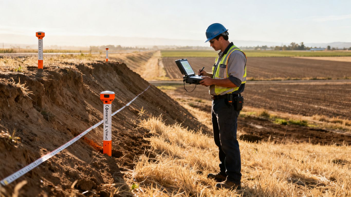
Ground control points tie the aerial dataset to known positions, while independent checkpoints help test the result. They should be distributed across the area rather than clustered in one convenient location, with extra attention to edges, elevation changes, and important design features.
The report should distinguish points used to build or adjust the dataset from points reserved for verification. That distinction gives the design team a more honest view of performance and makes a later review easier to reproduce.
Required resolution, point density, and positional accuracy
Resolution describes the detail visible in imagery, while point density describes how many returns or modeled points are available in a given area. Neither one, by itself, guarantees positional accuracy. Set requirements according to the task: feasibility review, earthwork estimation, corridor analysis, construction documentation, or another defined use.
Ask for the measurement basis and coverage assumptions. Vegetation, shadows, reflective surfaces, steep slopes, and moving equipment can all create gaps or uncertainty that a headline specification may not reveal.
Datum, coordinate systems, and elevation benchmarks
Horizontal and vertical references need to be stated before data is collected. The project team should confirm the datum, coordinate system, units, geoid or elevation model where applicable, and the benchmark or reference used for control. Small misunderstandings here can create apparent shifts between aerial files, survey information, and design drawings.
The information should travel with the deliverable in metadata or a clear project report. That is especially important when files move between consultants, contractors, GIS platforms, and CAD environments.
Quality assurance checks before data reaches the design team
Quality assurance should combine visual inspection, control and checkpoint comparisons, completeness checks, and a review of file metadata. The reviewer should look for holes, distorted areas, misclassified points, inconsistent naming, and features that were obscured during capture.
A short written report is more useful than a vague statement that the data was reviewed. It should identify the work area, method, control approach, limitations, exceptions, and the person responsible for acceptance. Only then can the design team decide whether the information is ready for its intended purpose.
Using aerial mapping data across the project lifecycle
Aerial data becomes most useful when it remains connected to the project’s working documents and decisions. The same capture may inform early planning, support construction coordination, and provide a visual record later, but each use requires appropriate interpretation. Organizing files and naming conventions early prevents the value of the dataset from fading after delivery.
Creating topographic surfaces, contours, and digital elevation models
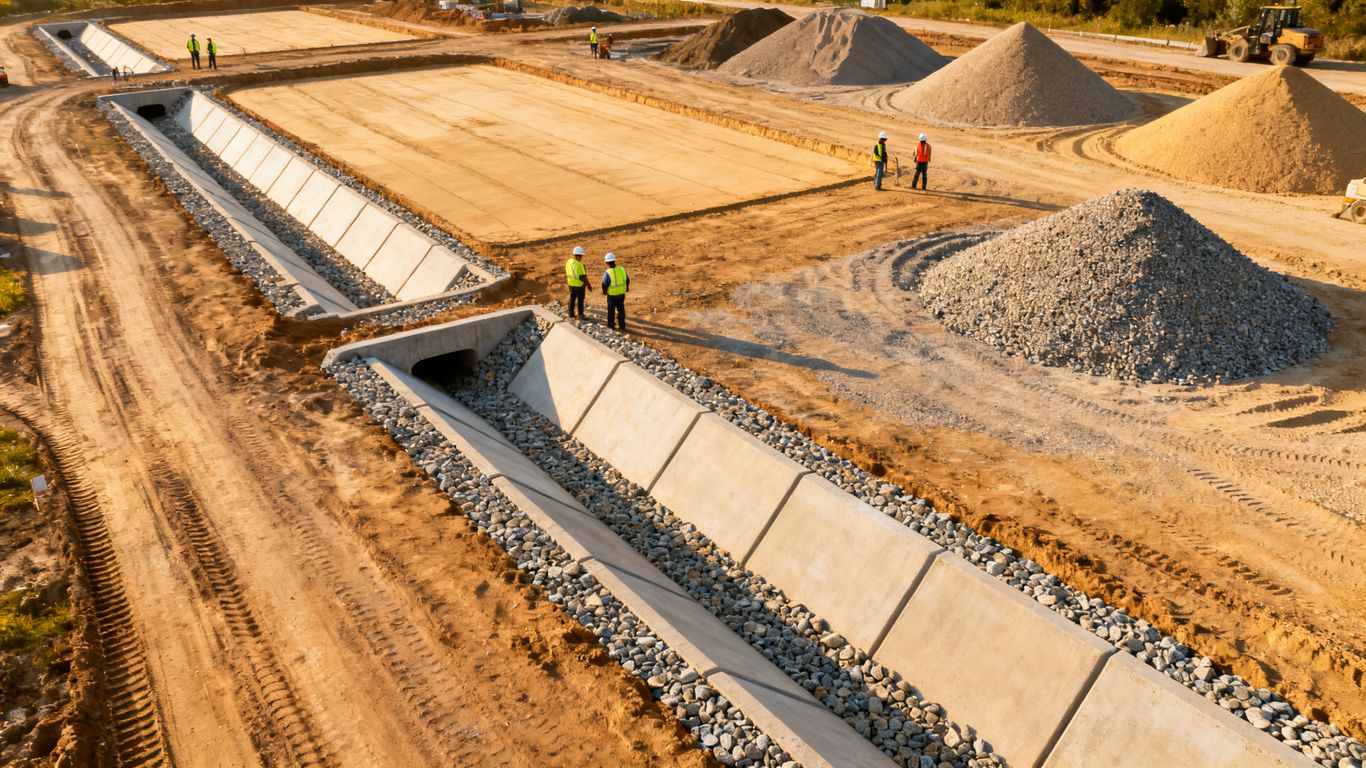
Processed imagery and point clouds can support surface visualization, contours, and digital elevation models when the capture and control are appropriate for those outputs. The team should confirm whether the model reflects bare earth, visible surfaces, or another classification, especially where structures, crops, and trees are present.
Contours are not self-validating. Their interval, smoothing, and source surface should be documented so an engineer can judge whether they are suitable for concept development, quantity work, or another purpose.
Supporting grading, drainage, and earthwork calculations
Surface data can help teams compare proposed grades with existing conditions, inspect drainage paths, and estimate earthwork quantities. Stockpiles and changing site conditions are also easier to review when measurements come from a repeatable dataset. Aeroskape’s material on stockpile volumetrics describes drone-based 3D models for volume calculations and inventory management.
These calculations remain sensitive to capture date, occlusion, ground classification, and the boundary used for measurement. A quantity should therefore be delivered with its assumptions, not as an unexplained number detached from the model.
Mapping utilities, right-of-way conditions, and existing improvements
Aerial imagery can document visible utility features, pavement, fences, structures, easements in context, and conditions along a right-of-way. It cannot reliably reveal every buried line or replace utility locating and field verification. Corridors with trees, bridges, wires, and narrow access also call for careful planning.
For utility work, a separate field and design review should define whether the aerial dataset is being used for context, asset documentation, or a more specific deliverable. The distinction protects the team from treating visible evidence as complete subsurface information.
Comparing progress imagery and documenting construction changes
Repeat imagery gives project managers and engineers a consistent way to review visible progress, staging, access, material placement, and changes from one visit to the next. It can support meetings and stakeholder updates without requiring every participant to walk the site. The comparison is strongest when capture boundaries and review dates are recorded.
Progress imagery does not eliminate field observation. It adds a broad record that can help direct attention to areas needing closer inspection, clarify what changed, and preserve context for later questions.
Sharing GIS, CAD, and 3D data with project stakeholders
Data sharing should be planned around the recipient’s workflow. A design consultant may need CAD-compatible information, a GIS team may need georeferenced layers, and a contractor may prefer a web-based visual review or organized image set. File names, coordinate information, version dates, and access permissions should accompany the handoff.
A short read-me document can prevent avoidable confusion. It should state the capture date, processing date, coordinate reference, included files, known limitations, and the intended use of each deliverable.
Managing costs, risks, and vendor selection
The lowest flight price is rarely the same as the lowest project cost. Acquisition, control, processing, quality review, revisions, storage, and engineering-ready packaging may all be separate parts of the work. A clear proposal lets the project team compare like with like and avoid paying later for missing information.
Estimating costs for acquisition, processing, and engineering deliverables
Request an itemized estimate that separates mobilization, field collection, control, sensor or method, processing, quality assurance, deliverable formats, and any repeat visits. Site size matters, but so do access, vegetation, terrain, airspace, timing, and the complexity of the requested outputs.
A realistic budget also includes contingency for weather, blocked areas, changed site conditions, and additional field verification. If the work may support quantities or design, ask whether interpretation and engineering review are included or remain with the client.
Comparing aerial mapping proposals and technical qualifications
A useful proposal explains the method, expected accuracy, control plan, schedule, deliverables, limitations, and acceptance process in plain language. Look for evidence that the provider understands the project decision, not just the flight operation. Experience with similar terrain and workflows can matter more than a long equipment list.
The provider should also describe safety and compliance procedures, data handling, communication during fieldwork, and what happens if weather or access prevents complete capture. Those details show how the work will function under real site conditions.
Protecting sensitive project data and maintaining documentation
Civil projects may involve private property, infrastructure, security-sensitive locations, or unpublished design information. Establish who can access raw imagery, processed data, reports, and shared links. Retention periods, transfer methods, version control, and deletion requests should be clear before collection begins.
Keep the flight plan, permissions, field notes, processing settings, quality report, and final acceptance record together. Good documentation preserves trust when the project changes hands or a decision is revisited months later.
Recognizing limitations related to vegetation, water, and obstructed areas
Trees, tall crops, structures, steep embankments, wires, and parked equipment can block the ground or create misleading visual conditions. Water can reflect or absorb sensor signals, while moving objects can affect image alignment. These are physical limits, not defects that a processing step can always remove.
The final report should identify excluded areas and recommend where field checks are needed. A clear limitation is more useful than a visually complete map that quietly overstates what was observed.
Knowing when supplemental field surveying is necessary
Supplemental field surveying is appropriate when the project requires legal boundary work, concealed utilities, precise points beneath vegetation, construction staking, certified elevations, or a deliverable that must be signed by a licensed professional. It may also be needed to resolve a discrepancy found during aerial quality review.
The best workflow is not aerial versus ground. It is a planned combination in which each method handles the conditions it can measure well, with responsibilities and final authority defined before design decisions rely on the data.
Contact the Aerial Data Team
If your project needs organized aerial information for planning, monitoring, or construction coordination, request a consultation with Aeroskape to discuss the site, operating constraints, and appropriate deliverables.
Conclusion
Aerial mapping can give Central Valley civil engineering teams a faster, broader view of changing sites, but dependable results come from disciplined scoping, suitable sensors, documented control, honest limitations, and a clear connection to project decisions. Used alongside traditional field methods where necessary, it becomes practical project information rather than simply another set of aerial images.
Frequently Asked Questions
What is aerial mapping used for in civil engineering?
It is used to document existing conditions, support site planning, create visual and elevation-based data, monitor construction progress, review corridors, and inform decisions about grading, drainage, access, and earthwork.
Is aerial mapping a replacement for land surveying?
Usually not. Aerial mapping can complement field surveying, but boundary work, concealed features, staking, certified measurements, and other regulated or site-specific tasks may require a Professional Land Surveyor.
Which is better for a Central Valley project, photogrammetry or LiDAR?
Neither is universally better. Photogrammetry can suit open sites needing detailed imagery and visible-surface modeling, while LiDAR may be useful for elevation and point-cloud analysis in vegetation or corridor environments.
How accurate can aerial mapping data be?
Accuracy depends on the sensor, control, checkpoints, flight conditions, processing, terrain, coordinate system, and intended use. Requirements should be agreed upon before capture and checked against independent verification points.
What can reduce aerial mapping quality?
Vegetation, crops, water, dust, wind, shadows, reflective surfaces, steep terrain, structures, wires, and moving equipment can reduce coverage or make ground conditions harder to interpret.
What deliverables should an engineering team request?
The request may include an orthomosaic, point cloud, surface model, contours, digital elevation model, photographs, progress documentation, or another defined output. Each should include its coordinate reference, date, assumptions, and known limitations.
How long does an aerial mapping project take?
Timing varies with site size, access, weather, control requirements, sensor, processing, quality review, and requested deliverables. A realistic schedule includes planning, fieldwork, processing, review, revisions, and final handoff.