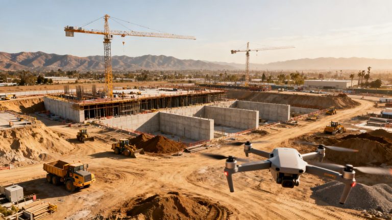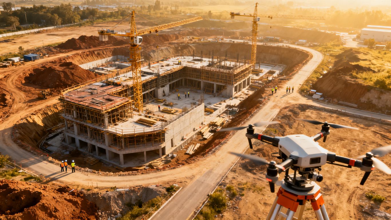
Drone documentation for construction delay claims
Key Takeaways
A defensible drone record is more than a collection of attractive aerial photographs. It is a repeatable project record that can be connected to schedules, contract duties, and other contemporaneous evidence.
- Establish baseline conditions before work and before known risk points.
- Repeat flights consistently, with documented settings, locations, and permissions.
- Compare visual records with the approved schedule rather than treating images as proof of delay by themselves.
- Preserve original files and connect each important image to reports, notices, RFIs, and schedule updates.
- Present the evidence as a clear chronology that separates observation from expert interpretation.
Understand how drone evidence supports a delay claim
Drone documentation for construction delay claims can help show what was present, what changed, and when the change occurred. Its value increases when aerial observations are tied to schedule activities and supported by project records. A flight is evidence of site conditions, not automatically evidence of responsibility or entitlement. That distinction should shape the entire documentation process.
Linking site conditions to the project schedule
A useful record begins with a date, a defined location, and a clear description of the work visible in the image. The reviewer should be able to connect that condition to a planned activity, milestone, access requirement, or predecessor. For example, an image showing an incomplete foundation is more useful when it is paired with the schedule activity for foundation completion and the planned start of framing.
The schedule connection should be made consistently, not reconstructed only after a dispute begins. Construction progress monitoring describes the value of repeatable flights and georeferenced imagery for comparing site conditions with project plans. That comparison gives the analyst a factual starting point without pretending that the image alone answers every scheduling question.
Distinguishing delay events from normal construction variance
Construction work rarely follows a perfectly smooth visual progression. A temporary stockpile, an idle area, or a partially complete installation may reflect sequencing rather than delay. To distinguish ordinary variance from a delay event, compare multiple dates, the approved plan, field reports, and the logic of the work that followed.
A strong record shows both change and context. Weather, inspections, design questions, changed access, late materials, and resequencing may all explain why a condition appears different from the baseline. The aerial record narrows the factual dispute, but it does not remove the need to examine the complete project history.
Establishing causation, responsibility, and project impact
A claim generally requires more than proof that progress was slow. The analysis must address what event affected the work, which contractual party had responsibility, whether the event affected a controlling activity, and what time or cost consequence followed. Drone imagery can support the first and last parts of that inquiry when it shows access restrictions, incomplete work, equipment placement, or changes in available work areas.
Use careful language in the record. State what the camera shows, identify the related project document, and reserve conclusions about entitlement for the appropriate contract and schedule analysis. A timestamped visual history can be particularly useful where parties disagree about whether a condition existed before a notice was issued.
Recognizing the limits of aerial documentation
Aerial imagery may not reveal concealed work, conversations, instructions, productivity rates, or the reasons behind a crew’s absence. It can also miss conditions beneath structures, inside buildings, or outside the flight path. Those limits do not make the record weak; they define the questions it can properly answer.
Treat drone evidence as one layer in a larger file. A field note, daily report, RFI, inspection record, schedule update, or witness statement may supply the context that an overhead image cannot. The most credible claim acknowledges both the strengths and the gaps.
Build a drone documentation plan before delays occur
A documentation plan should be established while the project is orderly, not after a dispute has changed everyone’s memory of events. Decide what the baseline will show, how often flights will occur, and who will review the resulting files. The plan should fit the work sequence rather than impose an artificial reporting routine.
A pre-construction record can establish existing access, neighboring conditions, drainage, utilities visible at the surface, and other facts that may later become disputed. Pre-construction documentation explains how aerial and ground footage can create a record of site conditions before work begins. That early record gives later comparisons a reliable reference point.
Defining the baseline and critical milestones
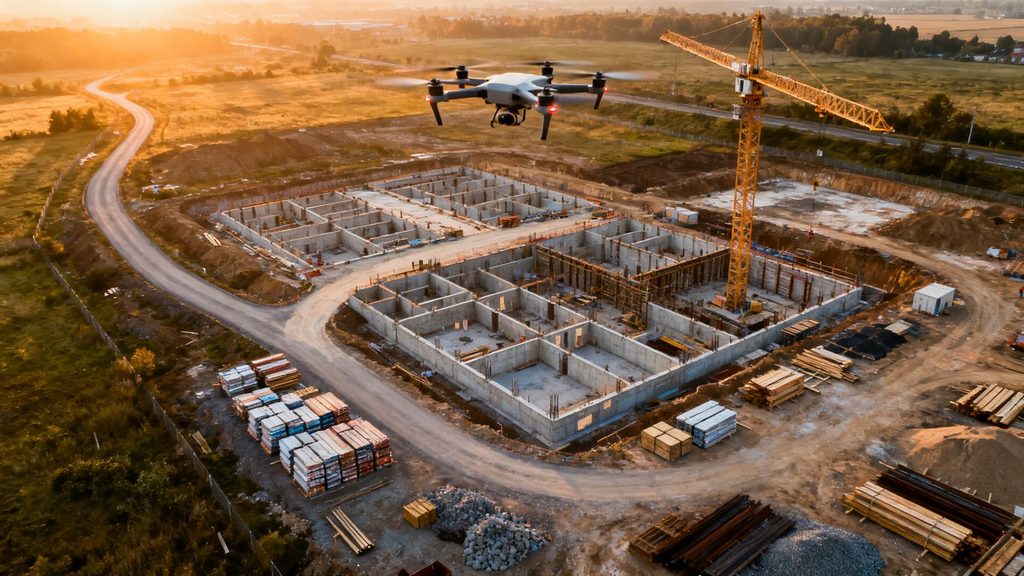
Start with a baseline flight before mobilization or before the first activity that may affect a disputed condition. Mark the project limits, major structures, access routes, laydown areas, and visible adjacent property conditions. Then identify milestones that deserve dedicated documentation, such as excavation completion, structural phases, enclosure, utility installation, and turnover areas.
The baseline should be stored with the schedule version and the date it represents. If the plan changes, preserve the earlier version rather than overwriting it. This makes later comparisons more transparent and prevents a revised plan from being mistaken for the original expectation.
Choosing flight frequency and coverage areas
Flight frequency should reflect the pace and risk of the work. A monthly flight may be adequate for slow-moving site development, while a biweekly or milestone-based cadence may be more useful during structural, utility, or access-sensitive work. Coverage should include not only the main building footprint but also routes, material areas, temporary works, and locations connected to likely claims.
The goal is not to collect the maximum number of files. It is to create a sufficient sequence for answering practical questions about condition and change. Consistent coverage also makes missing periods easier to identify before a reviewer relies on an incomplete record.
Coordinating flights with the schedule of work
Coordinate flights with look-ahead schedules, planned shutdowns, concrete placements, inspections, and other activities that alter site access or visibility. A flight immediately before and after a significant event may be more informative than several unscheduled flights taken at random. Notify the superintendent and relevant trade partners so the operation can be conducted without disrupting work.
The schedule should also record when a planned flight could not occur and why. Weather, unsafe conditions, restricted access, or an active lift may create a legitimate gap. Documenting the reason is better than leaving the gap unexplained.
Assigning responsibility for data collection and review
Name the operator, the project contact, and the person responsible for file intake and quality review. The reviewer should check that the coverage is complete, the date is correct, and the deliverables can be opened and understood by someone who was not on site. A simple responsibility matrix avoids the common problem of everyone assuming another person retained the originals.
A documented provider can support consistency, but the project still needs an internal owner. 1st Choice Aerials describes construction deliverables including orthomosaic maps and 3D models for progress and site documentation, which can be useful when the project’s review process is designed around those outputs (construction drone data).
Capture the right types of construction evidence
Different delay questions call for different kinds of visual evidence. A wide overhead image may establish access, while an oblique photograph may show the face of an installation more clearly. Short video can preserve movement and sequence, and mapped outputs can provide a shared spatial reference.
Capture enough surrounding context to orient a reviewer. A close image of a blocked route may be persuasive only when another view shows where that route sits within the larger site. The record should make it possible to understand both the detail and its relationship to the work.
Recording site conditions before and after a delay event
When a potential delay event occurs, document the condition as soon as safely possible and repeat the observation after the event changes or ends. Use comparable viewpoints where possible. Record whether the relevant area was accessible, occupied, protected, excavated, enclosed, or otherwise altered.
Do not wait for certainty about entitlement before collecting facts. A neutral record made at the time can assist all parties, including when the initial theory of delay later proves incomplete or incorrect.
Documenting progress against approved plans
Progress imagery becomes more useful when it is compared with the approved drawings, look-ahead plan, and schedule activity names. Identify the work area, planned state, observed state, and date of observation. If a design revision or approved change affects the comparison, preserve that context beside the image.
Aerial data can also help expose a mismatch between reported progress and visible work. That does not necessarily establish misreporting; it creates a question for the project team to investigate with quantities, inspections, and daily records.
Monitoring access, materials, equipment, and work areas
Many delay disputes turn on whether a crew could reach its work, whether materials were available, or whether another operation occupied the area. Flights can document haul roads, laydown areas, cranes, temporary fencing, stockpiles, excavations, and changing work fronts. These observations are especially useful when the condition is short-lived.
Keep descriptions factual. “Material storage occupies the planned access lane” is more defensible than “the subcontractor caused the delay.” The first statement can be tested against plans and records; the second requires a broader analysis.
Using photos, video, mapping, and 3D models together
No single output answers every question. Photographs preserve visual detail, video can show a route or sequence, orthomosaics provide a broad spatial view, and 3D models help reviewers understand geometry and relative location. 1st Choice Aerials identifies orthomosaic maps, 3D models, volumetric measurements, and thermal reports among the applications of drone data (construction mapping outputs).
Choose the output based on the issue being examined. A mapped surface may clarify earthwork or access, while an oblique photograph may better establish installation progress. The file index should explain what each deliverable contributes rather than treating every file as interchangeable.
Create reliable and defensible drone records
Defensibility depends as much on process as on image quality. The project should be able to show how a file was created, who handled it, and whether it was changed after capture. A polished image without provenance may be less useful than an ordinary image with a clear chain of custody.
Use a written protocol, apply it consistently, and record exceptions. The protocol need not be complicated, but it should be specific enough that another qualified operator could understand the intended method.
Maintaining consistent flight paths and camera settings
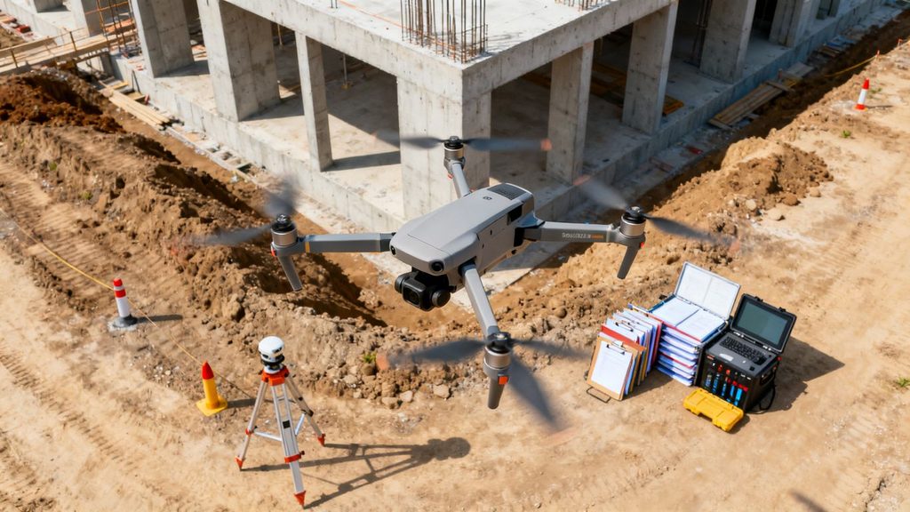
Repeatable flight paths make visual comparisons easier. Establish preferred altitudes, directions, viewpoints, overlap, and camera settings, then note any deviation caused by site conditions or safety requirements. Consistency does not require identical flights, but it does require an understandable reason when the perspective changes.
The project should also distinguish original capture from edited presentation materials. Cropping or annotating a copy may help a reviewer, provided the untouched source remains available and the edit is identified.
Preserving timestamps, location data, and survey control
Retain the capture timestamp, location information, and available flight metadata with the original file. Where measurements or precise mapping matter, document the survey control, ground control points, coordinate system, and processing method used. A reviewer should be able to understand the basis for any spatial conclusion.
Metadata is useful but not self-proving. Confirm that device time is set correctly, check the site reference, and record known limitations. If a file has been exported into another format, preserve the source and explain the conversion.
Keeping an unaltered master copy of every file
Create a read-only or otherwise protected master archive as soon as files are transferred. Use a stable naming convention that includes the project, date, flight, area, and file type. Keep working annotations and compressed sharing copies separate from the master set.
A practical archive usually includes:
- Original photos, video, and flight logs.
- Processed maps, models, and measurement outputs.
- A flight report with operator, date, location, and conditions.
- A file index linking important images to project events.
This separation preserves the evidentiary source while allowing the team to create readable claim exhibits. It also makes later expert review less dependent on a single person’s computer or cloud folder.
Recording weather, permissions, operators, and flight details
For every flight, record the operator, aircraft or system used, date, start and end time, weather, permissions, airspace checks, launch area, and any safety restrictions. Note whether workers, visitors, cranes, or other hazards affected the flight. These details help explain why coverage may differ from one date to the next.
A flight log should travel with the imagery, not sit in an unrelated administrative folder. When the claim is assembled, operational records can answer questions that the image itself cannot.
Connect drone data to contracts and delay analysis
Visual evidence becomes claim evidence only when it is connected to the legal and scheduling framework of the project. The analyst should identify the relevant obligation, the observed condition, the event date, and the alleged effect on work. That chain prevents a collection of images from becoming a collection of unsupported conclusions.
Use the schedule contemporaneous with the event when possible, while preserving later updates for comparison. Delay methods differ, and the right method depends on the project, the available records, and the issues in dispute. A guide to delay analysis methods discusses approaches including as-planned versus as-built, windows analysis, and time impact analysis.
Mapping visual evidence to contract obligations
Begin with the contract language that matters: notice requirements, access duties, owner-furnished information, differing conditions, extension provisions, coordination obligations, or designated completion dates. Then identify which visual facts bear on that language. The image does not prove the clause; it helps establish the condition to which the clause may apply.
Maintain a citation for each important exhibit. Record the flight date, file name, location, related schedule activity, and supporting project documents. This makes the claim easier to test and reduces the temptation to rely on vague statements such as “the site was behind.”
Comparing actual progress with the baseline schedule
A progress comparison should show the planned condition, the observed condition, and the date of each. Where feasible, use the same area, viewpoint, and activity coding across reporting periods. Explain whether the comparison measures physical completion, access, installed quantities, or another defined indicator.
The comparison becomes more persuasive when it includes both progress and non-progress. An unchanged condition across several dates may be significant, but only if the relevant work was scheduled, accessible, and expected to proceed during that window.
Supporting time impact and windows analysis
Drone records can provide dated observations within a delay window, helping an analyst test when a condition appeared, persisted, or cleared. They may support a time impact analysis or windows analysis by adding independent observations to schedule updates and contemporaneous correspondence. They cannot, by themselves, calculate critical-path impact or resolve concurrent delay.
The analyst should state assumptions openly. If flights were not taken during a key period, that gap belongs in the analysis. A transparent limitation is more credible than an implied certainty built from sparse imagery.
Integrating drone records with RFIs, daily reports, and notices
Create a shared chronology that places flights beside RFIs, notices, daily reports, meeting minutes, inspection records, weather data, and schedule updates. Searchable references make it easier to test whether a visible condition aligns with what the project team reported at the time. They also reveal contradictions that deserve explanation before a claim is submitted.
This is where the record becomes practical rather than merely visual. The image supplies a dated observation; the surrounding documents explain the instruction, constraint, response, and consequence.
Avoid legal, technical, and privacy problems
A technically excellent flight can still create problems if it violates airspace rules, exposes private information, or disrupts site operations. Before the program begins, identify the approvals, safety controls, and data-handling requirements that apply to the project. Requirements may vary by location, aircraft, operator, owner, and site condition.
The documentation plan should include a stop-work rule for unsafe or unauthorized flights. A missing flight is preferable to an incident that undermines the project or the evidence.
Following FAA and job-site flight requirements
Confirm that the operator and operation comply with applicable FAA requirements and any owner, contractor, or site-specific rules. Verify permissions before each flight when conditions change. Keep the relevant authorization and safety documentation with the flight record rather than assuming it can be reconstructed later.
The project should also define who may approve a flight and who may suspend it. That governance is especially important on active sites with lifts, temporary structures, or changing exclusion zones.
Managing restricted airspace and worker safety
Check airspace restrictions, nearby airports, temporary flight limitations, and site hazards before launch. Coordinate with the superintendent so workers understand the operation and so the flight does not interfere with cranes, deliveries, emergency access, or other work. Avoid capturing people more closely than necessary and never trade safety for a preferred viewpoint.
A risk assessment should address launch and recovery, battery handling, weather, lost-link procedures, and emergency landing areas. The record of that assessment can also explain why a planned route or date changed.
Protecting personally identifiable and sensitive project data
Aerial files may capture workers, neighboring properties, security arrangements, vehicle information, or commercially sensitive work. Limit collection to the project purpose, control access, and use appropriate retention and sharing practices. Blur or crop incidental personal information in review copies while preserving the original under controlled access when it is needed for evidentiary purposes.
Agree in advance who owns the data, who may receive it, and how long it will be retained. Treat cloud processing, file transfer, and external expert access as part of the project’s information-management plan.
Addressing gaps, inconsistent coverage, and disputed footage
Disputes often focus on what was not captured, not only on what appears in an image. Maintain a calendar of planned and completed flights, record cancellations, and explain changes in route, altitude, equipment, or processing. If authenticity is challenged, provide the source file, metadata, flight log, chain of custody, and the person who can explain the collection process.
Do not fill a gap with an assumption. Label the period as undocumented and use other records to test what may have occurred. That approach preserves trust in the portions of the record that are complete.
Present drone documentation in a construction claim
A reviewer should understand the story without opening every file in the archive. Organize the claim around the delay event, the relevant work, the observed change, and the claimed effect. Use concise exhibits supported by a complete underlying record.
Good presentation is selective, but never selective in a misleading way. Include images that show the surrounding context and disclose contrary or incomplete evidence when it affects interpretation.
Building a clear chronology of the delay event
Start with a dated sequence: baseline condition, planned activity, first observed change, notice or instruction, continuing condition, mitigation or resequencing, and return to work. Each entry should identify its source and distinguish direct observation from a later conclusion. A chronology often exposes whether the alleged event preceded the claimed impact or whether another event intervened.
Keep the chronology readable for a nontechnical reviewer. Short descriptions and consistent exhibit references are usually more effective than long captions filled with unsupported argument.
Using annotated images, orthomosaics, and progress comparisons
Use annotations to identify the area, access route, work front, or relevant installation, but preserve an unannotated version alongside the exhibit. Orthomosaics can orient the reader to the whole site, while oblique images and progress comparisons can explain height, sequence, and physical condition. Each exhibit should state its date, viewpoint, and source.
The image should answer a defined question. If the question concerns access, show the route and its connection to the work. If it concerns installation, show enough surrounding context to establish location and phase.
Explaining technical findings for reviewers and arbitrators
Avoid assuming that a reviewer understands photogrammetry, coordinate systems, or schedule terminology. Explain what was captured, how it was processed, what can be measured, and what cannot be concluded. Define terms once and use the same terms throughout the report.
A technical explanation is strongest when it separates method, observation, and opinion. That structure lets the reviewer evaluate the foundation before considering the expert’s ultimate conclusion.
Preparing a complete evidence package for expert analysis
Deliver the expert a structured package containing the file index, original files, processed outputs, flight logs, metadata, survey information, schedule versions, relevant correspondence, daily reports, notices, and a chronology. Include the documentation protocol and any known gaps. The expert should not have to infer the collection method from scattered email attachments.
1st Choice Aerials discusses consistent, repeatable job-site monitoring with high-resolution imagery, 3D models, and volumetric measurements for construction tracking (repeatable aerial monitoring). Whatever provider or workflow is used, the claim package should make the record reproducible enough for an independent reviewer to test.
Conclusion
Drone documentation is most valuable when it is planned before a dispute, captured consistently, preserved carefully, and connected to the schedule and contract record. It can clarify what changed and when, while the broader project file explains why the change mattered. Used with that discipline, aerial evidence becomes a practical aid to fair delay analysis rather than a substitute for it.
Frequently Asked Questions
Can drone images prove a construction delay?
They can document site conditions and changes over time, but they usually do not prove responsibility, critical-path impact, or entitlement by themselves. Those conclusions require contract, schedule, and contemporaneous project analysis.
How often should a construction site be documented?
The cadence should follow the pace and risk of the work. Monthly, biweekly, weekly, or milestone-based flights may be appropriate, provided the chosen routine captures the conditions relevant to the project’s likely disputes.
What should a baseline drone flight include?
It should capture project limits, access routes, existing structures, laydown areas, visible neighboring conditions, and other locations that may later be disputed. The flight date and corresponding schedule version should also be preserved.
Are aerial photos enough for a delay claim?
Usually not. Photos are stronger when combined with video, mapped outputs, flight records, schedules, daily reports, RFIs, notices, weather information, and other records that establish context.
How should original drone files be preserved?
Keep an unaltered master copy with metadata and flight information, then create separate working copies for annotations, compression, or exhibits. Maintain an index and restrict changes to the master archive.
What if bad weather or safety issues prevent a planned flight?
Record the missed flight, the reason, the affected area, and any alternative documentation collected. A transparent gap is easier to evaluate than an unexplained absence in the sequence.
Who should review drone evidence before it is submitted?
The project team should check completeness and context, while qualified schedule, technical, or legal professionals should assess causation, entitlement, and impact. The right reviewers depend on the claim and the governing contract.