How to use drone imagery for construction safety audits: A practical field guide
Key Takeaways
Drone imagery can widen the field of view during a construction safety audit, but it works best as evidence that supports—not replaces—on-site judgment.
- Define the audit question and inspection zones before launching the drone.
- Use repeatable routes, camera angles, and file naming for useful comparisons.
- Look for fall exposures, blocked routes, traffic conflicts, excavation issues, and unsafe practices.
- Pair aerial findings with ground verification and assigned corrective actions.
- Protect airspace compliance, worker privacy, and project records throughout the workflow.
What drone imagery adds to construction safety audits
Drone imagery for construction safety audits gives safety teams another way to see changing site conditions. Aerial views can connect details that are difficult to understand from ground level, especially when several work areas are active at once. The strongest programs treat the footage as a consistent visual record rather than as a substitute for people who understand the work.
Improving visibility across large and complex sites
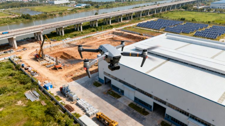
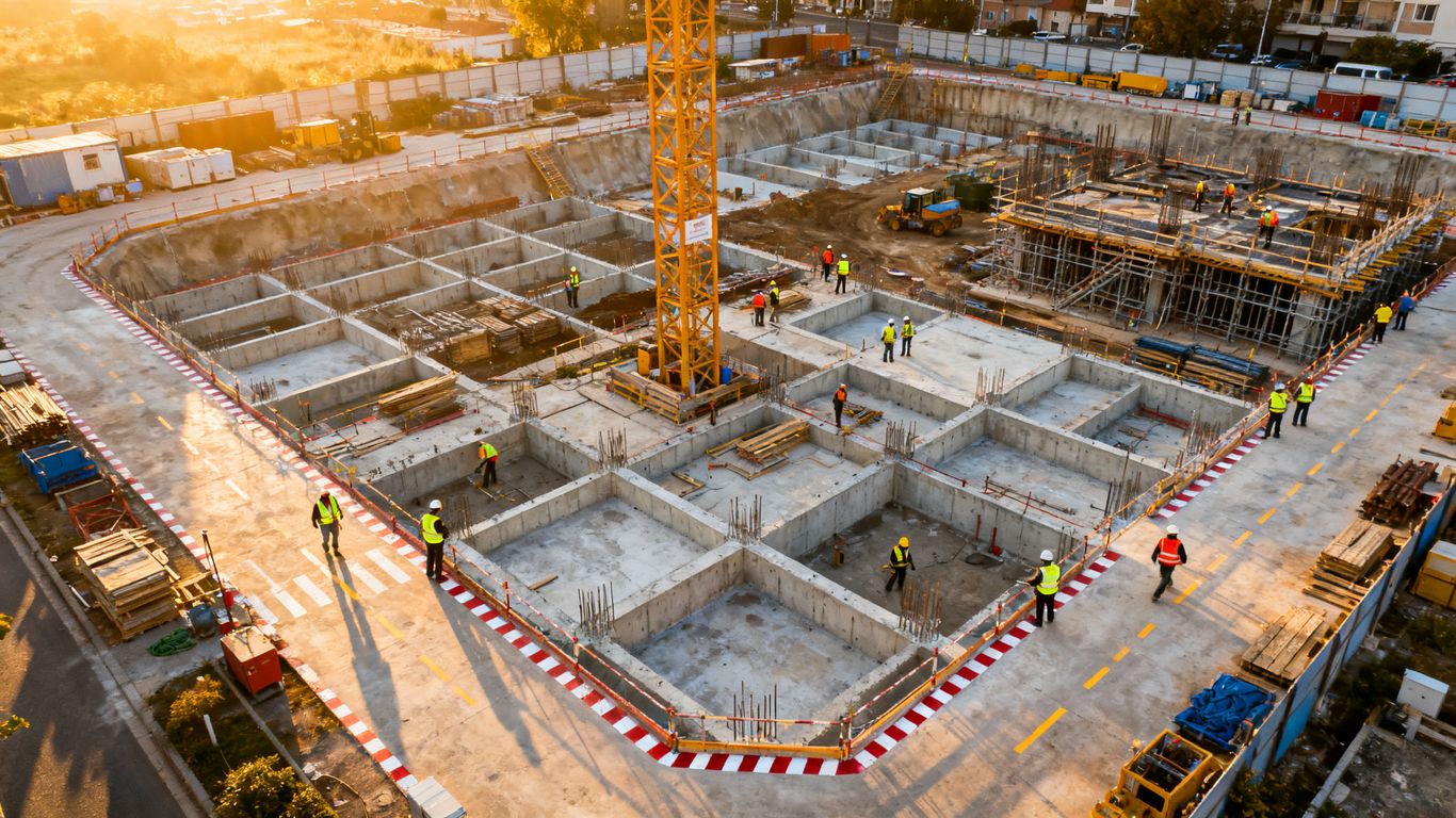
A drone can provide a broad view of access roads, staging areas, temporary routes, roofs, scaffolding, and active work fronts in one capture. That perspective helps an auditor notice relationships between hazards, such as material storage narrowing a vehicle route near a pedestrian entrance. For more background on aerial construction documentation, this construction drone photography guide explains how aerial imagery, maps, and models can support site inspections.
The useful question is not simply whether the drone saw the site. It is whether the view helps the team decide where to look next and what needs attention first.
Creating consistent evidence for audit records
A safety audit becomes easier to review when images are tied to a date, location, flight route, and observation. Wide views establish context, while closer frames show the condition that prompted a finding. Keep the original files and record enough notes that someone who was not present can understand what the image does—and does not—prove.
Identifying hazards without exposing inspectors to unnecessary risk
Aerial imagery can help an inspector review elevated edges, steep slopes, rooftops, or areas around moving equipment from a safer position on the ground. That does not remove the need for controls or an in-person check when the image is inconclusive. It simply lets the team gather an initial view without sending someone immediately into a potentially hazardous location.
A useful principle is distance can improve first-pass awareness. The final decision should still account for site conditions, worker behavior, and the limits of the camera.
Comparing site conditions over time
Repeat flights can show whether a guardrail was installed, a route cleared, or stored material moved away from an access point. Comparisons are most reliable when the aircraft follows similar routes and captures similar angles under reasonably comparable conditions. A chronological image set also gives supervisors a practical basis for discussing recurring observations rather than relying on memory.
How to plan a drone-based safety audit
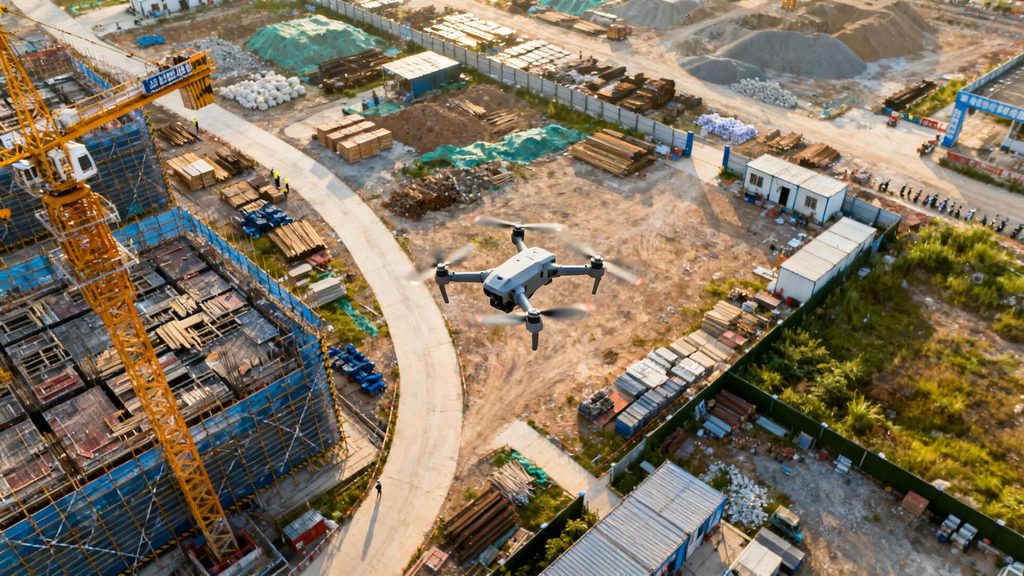
Planning determines whether a flight produces useful audit evidence or just a collection of attractive aerial views. Start with the safety question, then decide what imagery could answer it and what must be checked on the ground. A short planning conversation with the site team usually prevents more problems than extra flight time does.
Defining audit objectives and inspection zones
Write the objective in operational terms: review roof-edge protection, check emergency access, examine excavation perimeters, or document housekeeping in staging areas. Divide the site into named zones and give each zone a minimum set of views. This keeps the pilot from spending the whole flight over the most visually interesting part of the project.
Selecting flight times, weather conditions, and site access points
Choose a time when shadows, glare, wind, and crew activity will not obscure the conditions under review. Early planning should also identify a launch and recovery point that is away from workers, vehicles, and stored materials. If weather changes, postpone rather than forcing a flight that produces blurred or incomplete evidence.
Coordinating with site managers and active crews
The site manager should know the flight window, expected operating area, and any temporary pauses or exclusions. Crews need a simple way to recognize the aircraft and report unusual conditions without being distracted from their work. Coordination also helps the auditor distinguish a planned material movement from a genuine housekeeping or access problem.
Checking airspace, privacy, and regulatory requirements
Before the flight, confirm the applicable aviation rules, pilot qualifications, site permissions, and local restrictions. The plan should address people who may enter the frame, neighboring properties, data retention, and emergency procedures. Regulatory compliance is part of audit quality: footage gathered improperly may be difficult to use and can create a separate risk.
Which construction hazards drones can help identify
Drones are particularly useful for visual conditions that spread across a site or occur in places that are awkward to reach. They can reveal patterns, but they cannot reliably determine every underlying cause from an image alone. Treat each aerial observation as a lead that requires sensible classification and, when necessary, ground confirmation.
Fall risks, missing guardrails, and unsafe edges
High-angle views can expose incomplete edge protection, open shafts, gaps around platforms, and unprotected roof or scaffold areas. Zoomed imagery may help show the condition, but the auditor should avoid assuming that a barrier visible from above meets the applicable requirement. Confirm dimensions, stability, and worker access at ground level.
Housekeeping issues, debris, and blocked access routes
A broad overhead frame can make scattered debris, material piles, and narrowed routes easier to spot than a walk-through conducted among active crews. Pay attention to emergency access, walkways, stair approaches, and the space around fire or electrical equipment. A finding should describe the obstruction and its location clearly enough for a supervisor to act.
Equipment placement, vehicle movement, and traffic conflicts
A drone can show how haul roads, delivery areas, cranes, lifts, and pedestrian paths intersect. Look for blind corners, vehicles reversing near workers, poorly separated routes, or equipment staged where it restricts visibility. Movement captured in video can add context, though one flight is not a substitute for observing the site’s normal traffic pattern.
Excavation hazards, unstable ground, and water accumulation
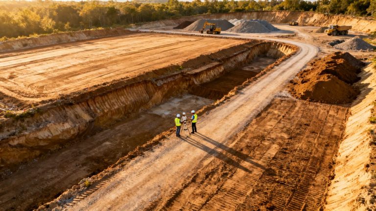
Overhead imagery can help identify standing water, sloughing edges, spoil piles too close to an excavation, and routes that appear to approach an open cut. Soil stability and protective systems cannot be judged fully from a photograph. Use the image to direct a qualified person to the area promptly, especially after rain or a change in excavation activity.
Personal protective equipment and unsafe work practices
At suitable distances and resolutions, imagery may show whether workers appear to be entering controlled areas without visible protective equipment or taking shortcuts around barriers. Avoid treating a single frame as proof of a worker’s complete behavior or intent. Confirm the observation with supervisors and the people involved, while handling identifiable imagery respectfully.
Choosing the right drone and imaging equipment
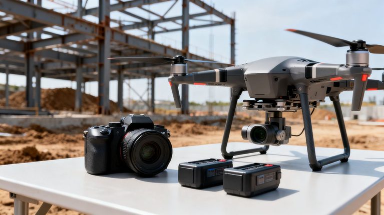
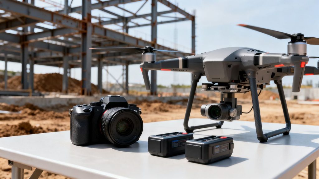
Equipment choices should follow the audit question, not the other way around. A camera that is excellent for a site overview may be unsuitable for a small connection, a shaded excavation, or a distant edge condition. Consider the expected distance, lighting, motion, weather, and level of detail before selecting the aircraft and sensors.
Matching camera resolution to inspection requirements
Resolution should be sufficient to show the condition being assessed at the planned distance. Wide coverage is useful for orientation, while detailed images require stable flight and an appropriate lens. Test the workflow on a representative area before the audit so the team knows whether the resulting files support confident decisions.
Using thermal and zoom imagery for specialized checks
Thermal imagery can reveal temperature differences that are not visible in ordinary photographs, but those differences need careful interpretation. Zoom cameras can help inspect distant areas while keeping the aircraft at a safer standoff. Both tools add value only when the operator understands lighting, surface materials, calibration, and the limits of what the sensor can establish.
Deciding when to use automated flight paths
Automated routes can improve repeatability over a stable site and reduce the chance of forgetting a planned zone. They are less suitable when cranes, temporary structures, wires, or rapidly changing work areas create new obstacles. A pilot should remain responsible for the flight and be ready to interrupt automation when site conditions change.
Evaluating battery life, weather resistance, and data security
Battery planning should include reserve time, return-to-home behavior, and the extra flights needed for close views. Weather resistance matters when dust, light rain, or wind is likely, but no rating removes the need for a conservative go/no-go decision. Storage, transfer, access permissions, and backup procedures deserve equal attention because audit imagery may include sensitive project information.
How to capture audit-ready drone imagery
Good capture is deliberate rather than dramatic. The goal is a set of images that can be located, compared, and understood by another member of the safety team. Before takeoff, confirm the checklist, route, camera settings, and naming convention; after landing, review a sample of the files while the flight is still fresh.
Establishing repeatable flight routes and camera angles
Choose routes that can be flown again as the project changes, and note altitude, direction, and camera orientation. Mark any areas that must be approached differently because of temporary obstacles. Repeatability makes a later comparison much more useful than a one-time collection of unusual perspectives.
Recording site context with wide and close-up views
Start with a wide frame that identifies the zone, nearby routes, and surrounding work. Then capture close views of the specific condition without losing enough context to locate it. This pairing prevents a common audit problem: a detailed image that shows a defect but not where it occurred.
Adding timestamps, locations, and inspection notes
Each file or record should connect to a date, approximate location, zone name, and observation number. Notes should distinguish what was visible from what was inferred, and should mention anything that limited the view. If a finding requires immediate attention, flag that status outside the image as well as in the audit record.
Avoiding glare, shadows, motion blur, and obstructed views
Sun angle, reflective surfaces, rotor vibration, and moving vehicles can all weaken an otherwise sound capture. Slow the aircraft when needed, change position rather than forcing a poor angle, and repeat a frame when a crane, dust plume, or worker blocks the condition. A few carefully checked images are more useful than a large folder of uncertain ones.
How to analyze drone data and prioritize risks
Analysis should convert visual material into decisions. Organize the evidence first, then describe each observation in plain language, rate its urgency, and assign an owner. The process should remain transparent enough that a supervisor can challenge or confirm a finding without having to reconstruct the entire flight.
Organizing images and videos by site area
Use a consistent structure such as project, date, zone, flight, and finding number. Keep original files separate from edited exports, and preserve a link between a report entry and its source image or video. This reduces duplicate findings and makes follow-up reviews much faster.
Using mapping and annotation tools to document findings
Maps can place an observation in relation to access roads, buildings, excavations, and work fronts. Annotations should point to the relevant condition without covering it, and the accompanying note should explain why it matters. Aerial data can include imagery, 3D models, thermal views, and other outputs; this drone data workflow offers useful context for thinking about how those materials fit into construction decisions.
Separating immediate hazards from maintenance issues
Not every visual defect has the same time sensitivity. An unprotected edge beside active work may require immediate control, while a faded route marking may belong in planned maintenance. The distinction should be based on exposure, likelihood, potential consequence, and whether workers are currently encountering the condition.
Applying risk ratings and assigning corrective actions
A rating is useful only when it leads to a clear next step. Identify the control, responsible person, due date, and evidence needed to close the finding. A compact action record might look like this:
| Finding type | Immediate question | Typical action owner | Closure evidence |
| Edge protection | Could someone enter the exposure now? | Site supervisor | Ground photo and verification note |
| Blocked route | Is emergency or routine access restricted? | Logistics lead | Cleared route confirmation |
| Traffic conflict | Are people and vehicles sharing space unsafely? | Traffic coordinator | Updated separation or control |
| Excavation concern | Has ground or weather changed the risk? | Competent person | Inspection record and corrective photo |
The table is a starting structure, not a substitute for the project’s formal risk process. Once the action is assigned, the aerial record should stay attached to the finding so the team can compare the original condition with the correction.
Validating image-based findings with on-site observations
A supervisor or competent person should verify conditions that depend on measurements, material strength, system design, or worker interaction. The ground check may confirm the finding, narrow it, or show that the apparent issue was temporary. That feedback also improves later flights by teaching the team which visual cues are reliable.
Building drone imagery into a safety audit program
A single flight can be helpful, but a program creates dependable habits. Set a cadence that matches the pace and risk of the project, then make the imagery part of ordinary inspection meetings rather than a separate technology exercise. The goal is a repeatable feedback loop from observation to correction to verification.
Integrating findings with existing inspection workflows
Use the same finding numbers, risk categories, and corrective-action system already used by the safety team where possible. Aerial observations should enter the normal review queue, with clear labels showing whether they still need ground verification. This avoids creating a parallel record that supervisors forget to check.
Tracking corrective actions and repeat observations
When the same zone is flown again, compare open findings with the new images. Record whether the condition was corrected, changed, or still unresolved, and avoid closing an item solely because the latest angle no longer shows it. Repeat observations often reveal weak controls or recurring coordination problems.
Training pilots, safety teams, and subcontractors
Pilots need site-specific awareness as well as flight competence, while safety staff need practice interpreting image limitations. Subcontractors should understand how findings are communicated and how worker privacy is handled. Short exercises using real site examples can build better judgment than a generic demonstration.
Measuring audit performance with meaningful KPIs
Useful measures focus on decisions and follow-through rather than flight counts. Teams might track the time from capture to review, the share of findings verified on site, overdue corrective actions, repeat observations, and the percentage of planned zones covered. These measures show whether imagery is improving the audit process instead of merely increasing the volume of data.
A practical audit workflow can be summarized in four steps:
- Define the safety question and flight boundary.
- Capture repeatable context and detail views.
- Verify findings, rate risk, and assign actions.
- Recheck the area and retain the evidence trail.
The sequence matters. Skipping verification or follow-up turns a polished flight into a weak safety control, while completing all four steps makes the imagery useful to people who were not present at capture.
Protecting records, worker privacy, and sensitive project data
Limit access to identifiable footage, establish retention periods, and avoid collecting more personal information than the audit requires. Store original files securely and document who can edit, export, or delete them. Clear rules protect workers and preserve confidence in the audit record, particularly when images may be shared with owners, insurers, or regulators.
Conclusion
Drone imagery is most valuable in construction safety audits when it extends human judgment with a repeatable visual record. Define the question, fly with care, document the context, verify what the camera suggests, and connect every meaningful finding to a corrective action. Used that way, aerial evidence becomes part of a disciplined safety program rather than a collection of disconnected pictures.
Frequently Asked Questions
Can drones replace a construction safety inspector?
No. Drones can improve visibility and document conditions, but inspectors and competent personnel still need to interpret findings, speak with crews, evaluate controls, and make decisions that imagery alone cannot support.
What should a drone safety audit focus on first?
Begin with the areas where exposure, consequence, or changing conditions are greatest. Common priorities include elevated edges, excavations, vehicle routes, emergency access, temporary structures, and areas that are difficult or hazardous to reach on foot.
How often should a construction site be surveyed by drone?
The right cadence depends on the project’s pace, hazards, weather, and regulatory requirements. A stable project may need periodic comparison flights, while rapidly changing work fronts may justify more frequent capture tied to specific milestones or risk changes.
What weather is suitable for a drone safety audit?
Use conditions that provide adequate visibility and remain within the aircraft and operator’s limits. Wind, rain, glare, dust, low light, and rapidly changing weather can reduce image quality or create flight risks, so postponing is often the safer choice.
What information should accompany an audit image?
Record the date, location or zone, flight or image identifier, observation, limitations, and any required action. The record should make clear what was directly visible and what still needs confirmation on the ground.
How should worker privacy be handled in drone footage?
Collect only what the audit needs, avoid unnecessary close-ups of identifiable people, restrict access, and follow the project’s privacy and retention rules. Explain the purpose of the flight to site personnel before capture whenever practical.
What makes drone imagery useful for follow-up audits?
Consistency matters most. Repeat similar routes, altitudes, camera angles, naming conventions, and inspection zones, then compare the new evidence with the original finding and its corrective-action record.