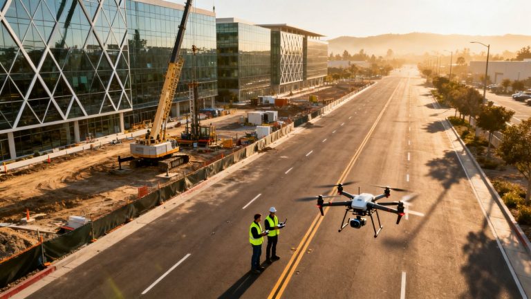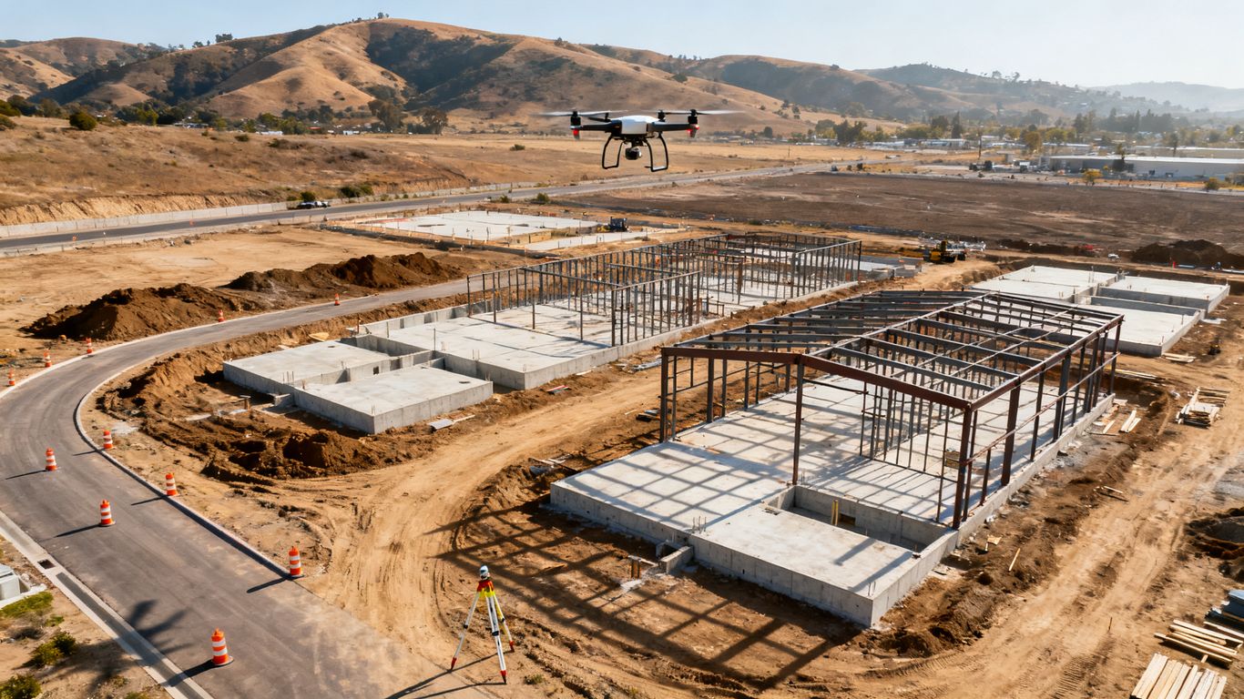
Drone as-built documentation for California construction
Key Takeaways
Drone as-built documentation gives California construction teams a repeatable record of site conditions, installed work, and final outcomes. The value comes from planning the capture, processing the data carefully, and delivering files people can use.
- Define the decisions and deliverables the documentation must support.
- Schedule repeatable captures around meaningful construction milestones.
- Combine aerial imagery with ground control and site-level evidence.
- Review mapped outputs against plans, models, and field observations.
- Protect the resulting records so they remain useful after closeout.
Understanding drone as-built documentation for California construction
Drone as-built documentation for California construction is more than a collection of attractive aerial photographs. It is a planned record of what exists, when it existed, and how confidently the field condition can be located or measured. A useful program connects capture dates, site references, processing methods, and deliverable formats to the project record. That structure makes the information easier to review during construction and months later.
What as-built documentation records
As-built documentation records the condition actually present in the field rather than the condition shown only in design drawings. Depending on the brief, that may include site limits, grades, completed surfaces, structures, utilities visible during construction, equipment locations, and installed elements. Each capture should carry a date, project reference, and enough context for another person to understand what they are seeing.
The record is strongest when imagery is paired with measured or georeferenced outputs. A photograph can clarify appearance, while a mapped surface or model helps the team locate and compare conditions. Together, they create a more practical reference for change review, coordination, closeout, and future facility work.
How drone surveys differ from progress photos
Progress photos answer a visual question: what did the site look like on a particular day? A drone survey can answer additional questions about position, scale, coverage, and change, provided the capture and processing are designed for that purpose. It may show the whole site consistently, preserve a repeatable viewpoint, and produce spatial data that can be compared across dates.
That distinction does not make ordinary photographs obsolete. Site-level photographs remain useful for labels, finishes, connections, concealed work, and details that an overhead camera cannot resolve. The best documentation plan uses each format for the question it can answer well, rather than treating one as a replacement for every other record.
When to capture aerial and site-level data
Capture timing should follow decisions, not a rigid calendar alone. baseline visit before major work establishes existing conditions; later visits can align with excavation, foundations, structure, enclosure, utilities, paving, and substantial completion. Repeating a similar flight and camera perspective makes the sequence easier to interpret.
Site-level capture belongs around moments when work will soon be covered, altered, or difficult to access. Coordinate those visits with the superintendent and relevant trades so the record includes the right areas without interrupting production. Consistency matters more than sheer frequency.
Which California construction projects benefit most
Large or changing sites often gain the most from aerial documentation because a single visit can provide broad context without requiring everyone to walk the full property. Multifamily, mixed-use, commercial, industrial, infrastructure, and complex renovation projects may all benefit, especially when several stakeholders need the same visual reference.
Location also affects planning. Dense urban sites, coastal weather, wildfire-prone regions, constrained campuses, and projects near airports may require more coordination than an open site. A project does not need to be enormous to benefit; it needs a clear use for the record and a team prepared to act on it.
Planning a compliant drone documentation program
A reliable program begins before the aircraft arrives. The project team should agree on what is being captured, who needs it, how often it will be delivered, and what limitations apply to the resulting data. In California, flight planning also has to account for federal rules, local conditions, worker safety, and privacy. Good preparation prevents a technically successful flight from producing an unusable project record.
Defining project goals and required deliverables
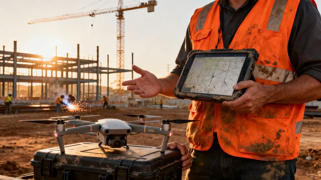
Start with the decisions the documentation must support. An owner may want a visual progress archive, while a contractor may need coordination views, quantity checks, or evidence of installed work. Engineers and inspectors may require different levels of measurement confidence, file formats, and supporting notes.
Write those expectations into a brief. Specify the area of coverage, coordinate system, capture frequency, accuracy target, naming convention, review process, and delivery dates. If the work may support a formal survey, design decision, or dispute, say so early; that affects field control, processing, review, and the professionals who must sign off.
Coordinating flight schedules with construction milestones
A recurring flight works best when its timing is predictable but not disconnected from the schedule. Set a regular cadence, then add milestone captures when the site changes in a meaningful way. The schedule should allow time for weather, airspace coordination, processing, quality review, and distribution before the information is needed in a meeting.
Share the flight plan with the site team in advance. Identify cranes, lifts, deliveries, temporary closures, and active work zones that may change by the hour. A short coordination call can prevent a missed capture or an unnecessary return visit.
Reviewing FAA and California operating requirements
The operator should confirm the applicable FAA requirements, pilot credentials, aircraft limitations, operating permissions, and airspace status before each mission. California projects may also involve local airport procedures, public-agency expectations, site rules, and workplace safety practices. Requirements can vary with location and operation, so a generic statement of compliance is not enough.
The project brief should identify who is responsible for approvals and documentation. Keep records of authorizations, pilot information, insurance, risk reviews, and any operational restrictions. This administrative trail belongs with the deliverables because it explains how the capture was conducted.
Managing privacy, airspace, and site safety concerns
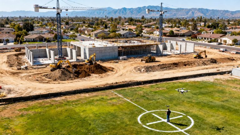
A construction flight should be treated as a controlled site activity, not an informal photo opportunity. Establish a launch and recovery area, identify people and equipment that must remain clear, and coordinate with the site supervisor. Avoid capturing unnecessary neighboring property or personally identifiable information, and set a retention policy for imagery that is not needed.
Safety planning should cover lost-link procedures, weather limits, emergency landing areas, communications, and interactions with cranes or other aircraft. For broader context on pairing aerial work with a formal safety program, teams can review construction safety technology while still applying the requirements of their own site and jurisdiction.
Capturing accurate construction data with drones
The quality of an as-built record is established in the field long before a model is rendered. Camera choice, positioning, control, flight geometry, and environmental conditions all influence what can be measured or compared. A careful operator also records what happened during the mission, including deviations from the plan. That field context helps the reviewer distinguish a genuine site change from a capture problem.
Selecting cameras, sensors, and positioning technology
Choose the sensor according to the deliverable rather than the aircraft specification sheet. High-resolution RGB imagery may suit visual records and photogrammetric mapping, while other sensors may be appropriate for a separately defined inspection or analysis need. Positioning technology can improve repeatability, but it does not remove the need for sound image overlap, control, and quality checks.
Define the desired ground sampling distance, coverage, lighting conditions, and file type before selecting equipment. The same camera setup should be used when possible for recurring comparisons. If conditions or equipment change, document that change so later users understand why two datasets may not match perfectly.
Establishing ground control and site reference points
Ground control ties aerial imagery to known positions and gives the processing team a way to test accuracy. Place clearly visible targets where they will remain undisturbed, distribute them across the site, and record their coordinates using an appropriate survey method. Check points that are not used to build the model can provide a more honest independent quality check.
Control is especially valuable when the dataset will be compared with plans, design surfaces, or previous captures. Markers should be protected from grading, deliveries, and other site activity. Their condition and location should be documented before the flight.
Planning flight paths around buildings and hazards
Flight planning should consider terrain, building edges, vertical structures, reflective surfaces, wires, cranes, and changing work areas. A single grid may not capture façades or narrow spaces adequately, so the mission may need separate nadir and oblique passes. Maintain appropriate clearance and keep the planned route consistent enough to support future comparisons.
The operator should walk through the site plan with the construction team before launch. Identify areas where workers, vehicles, or temporary structures could enter the operating zone. This is where a drone photography guide can provide useful general planning context, while the actual mission remains specific to the California site.
Handling weather, obstructions, and changing site conditions
Wind, haze, low light, rain, dust, and shadows can reduce image quality or complicate matching between photos. Temporary obstructions can matter just as much: a stockpile, parked trailer, crane boom, or newly erected wall may hide the surface the team intended to document. Record those conditions rather than quietly treating the dataset as complete.
If the capture is not suitable for the intended use, reschedule or label its limitations clearly. A lower-quality visual update may still be useful for a progress meeting, but it should not be presented as a precise survey product. Clear distinctions protect downstream decisions.
Turning drone data into as-built deliverables
Raw images are only the starting point. Processing converts them into organized records that can be viewed, measured, compared, and archived by people who were not present during the flight. The deliverable should explain its date, coverage, coordinate reference, processing assumptions, and known limitations. That metadata is part of the as-built package, not an optional footnote.
Processing photos into orthomosaics and 3D models
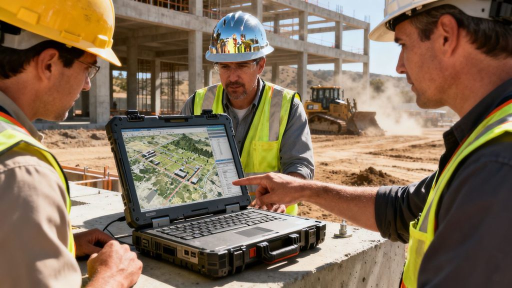
Photogrammetric processing typically begins by sorting imagery, checking exposure and overlap, aligning photographs, and applying control or positioning data. The result may include an orthomosaic, three-dimensional representation, or other project-defined output. Reviewers should inspect gaps, distortions, blurred areas, and surfaces that were hidden during capture.
Do not assume that an attractive model is automatically accurate. Processing settings, camera calibration, control quality, vegetation, reflective materials, and moving objects can all affect the result. Keep the original imagery and processing report with the published output so the record can be revisited if a question arises.
Creating point clouds, maps, and measured drawings
The right output depends on who will use it. A project team may need a navigable model for coordination, a map for broad site review, a point cloud for technical reference, or measured drawings prepared under an agreed scope. File formats should be selected around the recipient’s software and the intended level of confidence.
The following simple matrix helps keep deliverables tied to use rather than novelty:
| Project need | Useful output | Review focus |
| Visual progress record | Date-organized aerial imagery | Consistent viewpoint and coverage |
| Site coordination | Orthomosaic or 3D model | Location, access, and visible conflicts |
| Quantity or earthwork review | Surface or volume output | Control, boundaries, and measurement method |
| Closeout reference | Organized imagery and approved model files | Completeness, metadata, and retrievability |
After publication, explain what each output can and cannot support. A map may be excellent for orientation while a formal boundary or engineering decision still requires qualified survey or design review. That distinction keeps the package useful without overstating its precision.
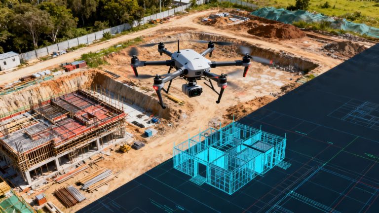
Comparing field conditions with plans and BIM models
Comparison is most informative when the datasets share a coordinate reference, a known date, and compatible levels of detail. Teams can review visible deviations, incomplete areas, access conflicts, and changes in site geometry. The comparison should distinguish between a true construction variance and a difference caused by timing, occlusion, registration, or design revision.
Set a review workflow before the first comparison. Assign responsibility for marking issues, checking them in the field, and recording whether they were resolved. Where a model is involved, preserve the model version and comparison date so the conclusion remains traceable.
Organizing files for contractors, owners, and inspectors
A disciplined folder structure is more valuable than an overloaded download. Organize by project, capture date, area or phase, output type, and revision. Include a short readme with the coordinate reference, capture conditions, processing notes, known gaps, and contact for questions.
Use stable filenames and avoid silently replacing earlier records. Contractors may need quick visual access, owners may need a long-term archive, and inspectors may need a clearly dated package. One source record can serve all three when permissions and exports are planned from the beginning.
Using drone documentation across the construction lifecycle
The same documentation program can serve different purposes as a project moves from planning to closeout. Early captures establish context, recurring visits show change, and final records preserve what remains after temporary conditions disappear. The program should evolve with the work rather than producing identical outputs when the questions have changed. That is how a visual archive becomes a working project tool.
Verifying site conditions before construction
A baseline capture can document access, neighboring conditions, drainage patterns, existing surfaces, and visible site constraints before mobilization. Pair the aerial record with ground photographs and written observations so important details are not lost beneath a single broad perspective. Date and archive the baseline before construction changes the scene.
This record can support preconstruction discussions and later comparisons, but it should not be treated as a substitute for every required survey, title document, utility investigation, or environmental review. Its role is to provide clear context and a repeatable visual reference.
Tracking progress and documenting installed work
Recurring captures make changes easier to see than isolated visits. Use consistent areas of interest, viewpoints, and file naming so the team can compare excavation, structure, enclosure, paving, and site improvements over time. Drone progress monitoring offers a useful framework for thinking about consistent imagery, reporting, and coordination.
The record should be issued on a known schedule and discussed in the same meetings where progress, risks, and upcoming work are reviewed. When an image reveals a concern, route it into the project’s normal issue-management process rather than leaving it as an observation in a gallery.
Supporting quantity checks and quality control
Aerial data can support quantity reviews when the site is captured with suitable control, boundaries, and processing. Stockpiles, cut and fill areas, and broad site surfaces may be compared across dates, while close-range imagery can help document visible installation conditions. The team should agree on the measurement method and tolerance before relying on a result.
A compact field checklist keeps each visit focused:
- Confirm the approved area, date, and construction phase.
- Check control points, overlap, weather, and obstructions.
- Capture wide context along with relevant site-level details.
- Record gaps, deviations, and safety limitations in the flight log.
That sequence does not replace professional inspection or survey judgment. It creates a dependable handoff for the people who must verify quantities, quality, or completion in the field.
Recording final conditions for closeout and facilities management
Closeout documentation should be planned before the final flight. Identify which areas must be visible, which temporary materials should be removed, and which records the owner expects to retain. Final imagery and models are more useful when they are connected to approved drawings, equipment information, inspection records, and a clear date.
Facilities teams may use the archive for orientation, future renovation planning, or investigating conditions that are difficult to see later. Make the files accessible without weakening permissions, and provide a concise index so users can find the relevant capture without opening every dataset.
Improving accuracy, security, and project value
A mature program measures more than the number of flights completed. It asks whether the data was accurate enough for its stated purpose, delivered when decisions were still open, protected from inappropriate access, and easy to retrieve later. These are management questions as much as technical ones. Addressing them early gives the documentation a clearer return for the project.
Setting measurement tolerances and quality standards
Write tolerances in plain language and connect them to specific outputs. A visual progress record may need dependable coverage and dates, while a quantity review may require a defined error threshold, control method, and independent check. Do not apply one blanket accuracy claim to every file in the package.
Use acceptance criteria for completeness, image quality, registration, control residuals, and metadata. A short quality report can state what passed, what was excluded, and what should not be inferred from the dataset. That candor is more valuable than false precision.
Reviewing data with surveyors and project engineers
Technical review should happen at the points where the data may influence design, measurement, safety, or acceptance. Surveyors can assess reference and measurement questions; project engineers can interpret whether a visible condition matters to the design or construction sequence. The operator contributes capture and processing context, but should not make decisions outside the agreed professional scope.
Set up a review path for questions and corrections. If a reviewer finds a gap, determine whether it can be resolved through existing imagery, a field visit, or a new flight. Keep the original record intact while issuing a clearly labeled revision.
Protecting imagery, models, and project records
Construction imagery can reveal site layouts, security features, neighboring property, and work in progress. Store it in approved locations, limit access by role, and use secure transfer methods. Establish retention and deletion rules that account for contract requirements, legal holds, owner policy, and the practical value of the archive.
Maintain version history for processed outputs and preserve the source material needed to validate important conclusions. Encryption, access logs, backups, and a named records owner make the system easier to manage. Security should be designed into the workflow rather than added after a sensitive file is shared widely.
Estimating costs, timelines, and return on investment
Estimate the full workflow, not just the flight: planning, permissions, field capture, control, processing, review, revisions, storage, and delivery. Then compare that cost with the decisions the documentation supports, such as reducing repeat site walks, clarifying progress, checking quantities, or resolving a disagreement earlier. Avoid treating every benefit as a guaranteed saving.
For a broader example of construction drone services that combine site maps, models, inspections, and progress work, teams can review construction drone services. A California project should still build its own estimate around site complexity, cadence, access, and required deliverables.
Choosing a California drone documentation provider
The right provider is not simply the one with the newest aircraft or the most dramatic portfolio. Look for a team that can connect compliant flight operations with construction schedules, spatial control, processing, review, and records management. Ask how the provider handles bad weather, incomplete coverage, revisions, and data that falls outside the requested tolerance. Those answers usually reveal more than a sample aerial photograph.
Evaluating licenses, insurance, and construction experience
Confirm the operator’s applicable FAA qualification, insurance, aircraft and operating documentation, and experience working around active construction. Ask how the team coordinates with site supervision and how it records safety decisions. California experience is useful when it reflects familiarity with local constraints, dense sites, weather patterns, and project expectations rather than merely a location on a service page.
Also clarify who will be present on site and who is accountable for the final package. If a flight is subcontracted, the contracting party should still explain how quality and compliance are maintained.
Reviewing sample deliverables and reporting workflows
Request a sample package rather than only a gallery image. Review the index, file names, dates, metadata, map or model navigation, issue annotations, and quality notes. A strong sample shows how a project manager can find the relevant record quickly and understand its limitations.
Ask how reports are issued and corrected. A provider such as 1st Choice Aerials describes construction work that includes aerial mapping and progress tracking in its project materials; the useful next question is how those outputs would be configured for this specific California project, schedule, and approval process.
Confirming survey, mapping, and BIM capabilities
Match the provider’s capabilities to the actual brief. If the work requires mapping, volumetric review, a point cloud, model comparison, or BIM coordination, ask which outputs are included, which software is used, and who reviews the result. Do not assume that a provider offering aerial imagery also offers every survey or modeling service.
Discuss coordinate systems, control, tolerances, file formats, and professional review before signing. The provider should be able to state where its responsibility ends and where the project surveyor, engineer, architect, or inspector takes over.
Defining scope, ownership, and revision responsibilities
The agreement should identify the area, cadence, deliverables, turnaround, access requirements, safety responsibilities, price assumptions, and treatment of weather delays. It should also state who owns the imagery and processed files, how long they will be retained, and whether the owner receives source data as well as exports.
Finally, define revisions. Specify what counts as a correction, what happens when site conditions prevent complete capture, and who approves a reflight. Clear boundaries reduce friction and make the final archive more dependable. That is the practical foundation of a successful documentation program.
Conclusion
A well-planned drone documentation program gives a California construction project a clearer visual and spatial record from existing conditions through closeout. Its success depends less on spectacle than on repeatable capture, appropriate control, careful processing, professional review, and organized delivery. When those pieces are agreed in advance, the resulting records can support coordination today and remain useful long after the site changes.
Frequently Asked Questions
Is drone documentation the same as an as-built survey?
No. Drone documentation can provide imagery, mapped outputs, models, and other records, but whether it qualifies as a survey or supports a particular engineering decision depends on the scope, methods, accuracy, and professional review required for that project.
How often should a construction site be captured?
The right frequency follows the construction schedule and the decisions the record must support. Many programs combine a regular cadence with additional captures at major milestones or before important work becomes concealed.
What should be captured before construction begins?
A baseline may include access routes, existing surfaces, neighboring conditions, drainage context, visible structures, and other site features relevant to the project. Ground photographs and written notes should supplement the aerial record.
Can drone data measure stockpiles and earthwork?
It can support those measurements when the capture uses suitable control, coverage, boundaries, and processing. The team should define the measurement method and tolerance in advance, then review the result appropriately.
What weather conditions can affect a flight?
Wind, rain, haze, low light, dust, glare, and shadows can affect flight safety or image quality. Temporary obstructions such as cranes, vehicles, and stockpiles may also reduce coverage or hide important surfaces.
Who should review an as-built drone deliverable?
The review team depends on the intended use. Project managers may check coverage and dates, while surveyors, engineers, architects, inspectors, or other qualified professionals may need to review technical or acceptance-related questions.
How should construction drone records be stored?
Store source imagery, processed outputs, metadata, quality notes, and revisions in an approved system with controlled access, backups, and a clear naming convention. Retention should follow contract obligations, owner policy, and any applicable legal requirements.