Drone deliverables checklist for general contractors
Key Takeaways
A reliable drone workflow starts before the aircraft leaves the ground and continues through review, delivery, and recordkeeping.
- Define the decisions, phases, and stakeholders each deliverable will support.
- Document flight permissions, safety controls, site limits, and coordinate requirements.
- Capture repeatable imagery with enough overlap, coverage, and field context.
- Validate maps, models, measurements, and missing areas before distribution.
- Maintain clear versions, permissions, formats, and recurring flight schedules.
Define project goals and drone deliverables before the first flight
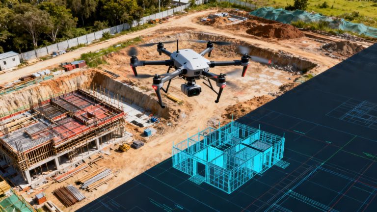
A drone deliverables checklist for general contractors should begin with the project question, not the aircraft. Decide whether the team needs progress evidence, earthwork quantities, inspection records, as-built documentation, or a visual record for owners and subcontractors. The answer determines how the site is captured, processed, reviewed, and shared. A clear brief also prevents attractive imagery from being mistaken for construction information.
Match deliverables to construction phases and stakeholder needs
Different phases call for different evidence. Pre-construction teams may need site conditions and access context, while project managers may need recurring progress views, and closeout teams may need organized records that can be compared with design information. Owners often want a concise visual update; surveyors and estimators may need measurable outputs. Write the intended audience beside each deliverable so the final package is useful rather than merely large.
A useful reference is construction progress reporting, which frames aerial records around planning, site evaluation, progress, and compliance. That same principle keeps the workflow grounded in decisions: every image, map, or model should answer a question someone on the project actually has.
Set accuracy, resolution, and coverage requirements
Accuracy is a project requirement, not a feature to assume after processing. State the acceptable measurement tolerance, required ground sampling detail, image overlap, expected coverage, and whether control points or checkpoints will be used. Also identify whether the output is for visual communication, quantity review, design coordination, or formal survey support. Those uses should not be treated as interchangeable.
Agree on file types, coordinate reference systems, units, and delivery timing before the first flight. If the team expects to compare weekly outputs, keep the requirements stable unless a documented change is approved.
Confirm site boundaries, access points, and no-fly constraints
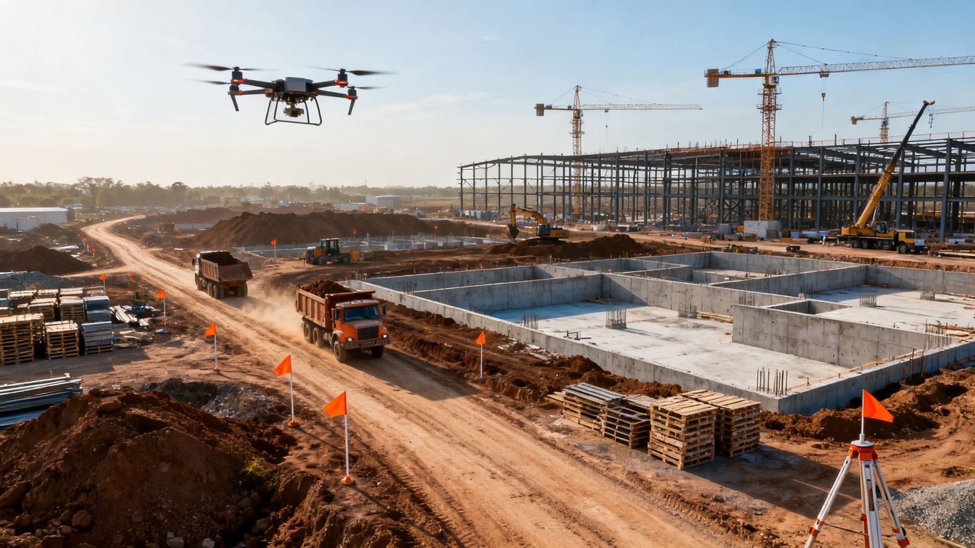
Mark the full operating area, adjoining properties, launch and recovery locations, overhead obstructions, occupied buildings, roads, utilities, and active work zones. Confirm where the pilot can park, walk, and stage equipment without entering restricted areas. Airspace limitations, local permissions, privacy concerns, and changing site conditions belong in the flight record.
A boundary map also helps the office team understand what was not captured. That small distinction matters when a later decision depends on an area just outside the original work zone.
Assign ownership for capture, processing, review, and distribution
One person may coordinate the work, but responsibility should be divided clearly. Name the flight lead, data processor, technical reviewer, project manager, and final distributor. Include a backup contact for weather delays or urgent reflights. This prevents files from sitting in an inbox while field conditions change.
The review owner should have authority to reject incomplete outputs. The project manager, meanwhile, should decide which findings become requests for information, schedule updates, safety actions, or records for the owner.
Prepare the site, crew, and flight documentation
Preparation turns a permitted flight into a controlled construction activity. The crew needs a shared understanding of the work zone, aircraft limitations, emergency actions, and expected outputs. Written documentation is especially valuable when several projects or pilots follow the same process. It creates continuity when the person who planned one flight is not the person reviewing the files.
Verify pilot credentials, insurance, and airspace requirements
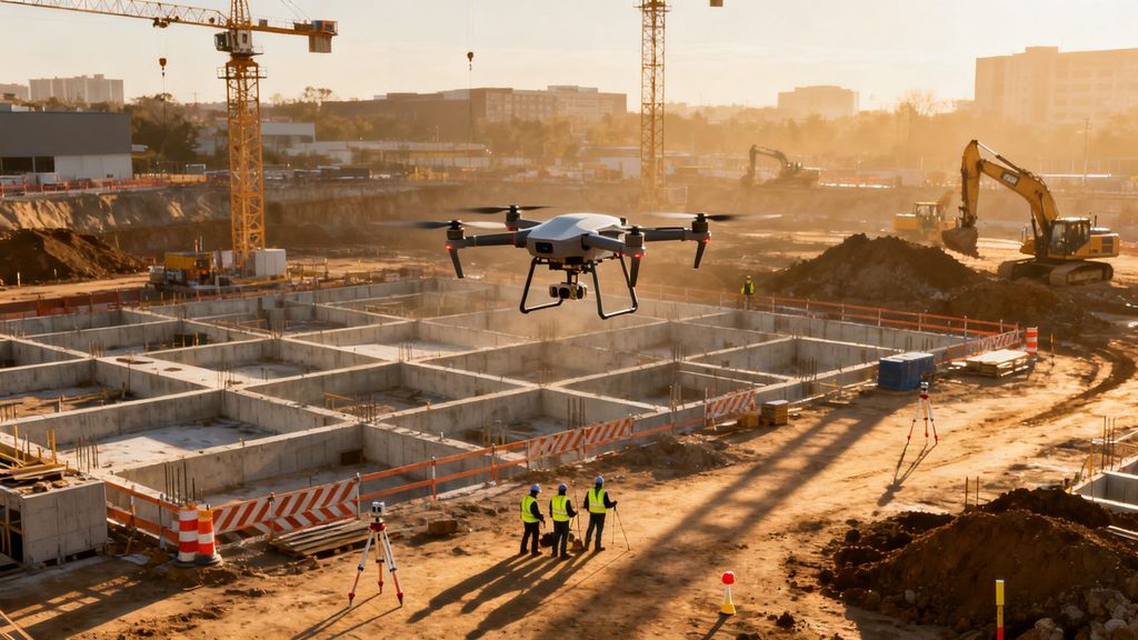
Before mobilization, confirm the pilot’s credentials, insurance, aircraft registration or operating requirements, and any needed airspace authorization. Commercial operations in the United States commonly require FAA Part 107 compliance, while site-specific rules may add another layer of approval. Keep copies of authorizations and insurance information with the project flight record.
A direct provider such as 1st Choice Aerials describes pre-construction services that include orthomosaic maps, 3D models, and digital elevation models. Whatever provider or internal team is used, the deliverable agreement should be matched to the approvals and qualifications documented for the flight.
Build a flight plan around safety risks and active work zones
Plan the route around cranes, lifts, temporary structures, stockpiles, haul roads, pedestrians, power lines, and changing access conditions. Establish a launch point, observer position, return procedure, communication channel, and weather limits. The pilot should know which zones are closed to flight and which areas require a pause in nearby work.
Use a preflight briefing to confirm who can stop the operation. A short briefing is more effective when it names actual hazards rather than repeating general safety language.
Establish ground control, checkpoints, and coordinate systems
If the project requires measured or georeferenced outputs, define the control strategy before capture. Record the location, identification, condition, and intended use of ground control points and checkpoints. Confirm the coordinate system, vertical datum, units, and survey source with the person responsible for project control.
Control information should travel with the imagery and processing notes. Without that connection, a technically attractive map may be difficult to compare with drawings, surveys, or earlier project records.
Create a repeatable naming and folder structure for project data
Use a naming convention that identifies the project, site area, capture date, flight number, deliverable type, and revision. Keep original imagery separate from processed outputs, review copies, exports, and published records. Do not overwrite a prior issue simply because a corrected version is available.
A practical field-to-office structure might include folders for flight logs, source media, control, processing, review, issued deliverables, and archive. The structure should be simple enough to use in the field and specific enough to support an audit months later.
Capture the imagery and data needed for construction decisions
Capture quality is shaped by consistency more than by dramatic views. Use a stable process for timing, altitude, speed, camera orientation, overlap, and site coverage. The goal is to make today’s record comparable with next week’s record while still collecting the close details needed for decisions. Good field notes give the office context that imagery alone cannot provide.
Collect consistent aerial photos and high-resolution video
Choose image and video settings that suit the planned output, then keep them consistent across recurring flights where possible. Check focus, exposure, storage capacity, battery status, and lens condition before departure. High-resolution media is useful only when it is sharp, complete, and tied to a known location and time.
Aerial and ground media can work together when the project needs both broad context and close documentation. The capture plan should say when each is required rather than leaving the distinction to the pilot’s judgment on site.
Produce nadir and oblique imagery for complete site coverage
Nadir imagery looks straight down and supports mapping, surface review, and measured comparisons. Oblique views add wall faces, slopes, structures, material edges, and relationships that a top-down image can miss. The two perspectives should be planned as complementary sets, with enough overlap and coverage for the intended processing workflow.
Do not assume that a single orbit or a handful of photographs represents the whole site. Compare the planned boundary with the actual coverage before leaving, especially where terrain, structures, or temporary obstructions may hide gaps.
Document progress with repeatable flight paths and camera angles
Repeatable flights make change easier to see. Save route details, camera angles, altitude, capture date, and relevant settings so the next visit can follow the same visual logic. If the route changes because of safety, construction, or weather, record the reason rather than presenting the result as a direct comparison.
For recurring monitoring, establish a standard set of overview points and a smaller set of phase-specific views. Consistency makes schedule conversations clearer because the team can distinguish actual site change from a different vantage point.
Capture details for earthwork, structures, materials, and site logistics
Wide coverage should be supplemented with targeted capture. Photograph excavation limits, slopes, foundations, structural assemblies, material locations, access routes, drainage work, and temporary logistics when they relate to the project decision. Identify the area in the field notes and, where practical, connect it to a plan location or issue number.
1st Choice Aerials describes construction applications including volumetric calculations, safety oversight, quality control, stakeholder reporting, and thermal imaging. Those uses reinforce a practical rule: capture details because they support a defined review, not because more files automatically create more value.
Record weather, equipment settings, and field notes
Wind, precipitation, haze, glare, low light, and dust can affect both capture and interpretation. Record weather conditions, aircraft and camera settings, battery changes, interruptions, control-point status, and any areas that could not be flown. Note unusual activity on the site as well, such as a crane move or a temporary closure.
Before handing off the media, confirm that the files open, the flight log is present, and the field notes identify the capture area. These checks make processing faster and give reviewers a defensible explanation for irregular results.
Review and validate processed drone outputs
Processing is not the end of the workflow. Maps, models, point clouds, and reports need a technical review before they are used for coordination, payment, safety, or dispute documentation. Reviewers should know the capture conditions, control method, processing settings, and intended use. A polished rendering can still contain gaps or distortions.

Check image quality, overlap, exposure, and missing areas
Start with the source imagery, not only the final map. Look for blur, glare, inconsistent exposure, motion, excessive shadows, weak overlap, duplicated frames, and unrecorded gaps. Compare the actual flight boundary with the requested boundary and list any areas affected by people, equipment, vegetation, or temporary obstructions.
A simple review log should identify the file set, reviewer, date, finding, severity, and action. If the issue affects a measurement or comparison, resolve it before the output is issued.
Validate orthomosaics, 3D models, point clouds, and maps
Inspect edges, seams, vertical faces, steep terrain, structures, and areas with repetitive or reflective surfaces. Confirm that the coordinate system, scale, units, north orientation, legend, and metadata are correct. Open exported files in the software the recipient will use, since an output that looks fine in one viewer may fail elsewhere.
The drone mapping workflow is most useful when capture, processing, outputs, and regulatory preparation are considered together. That end-to-end view helps the reviewer trace a visible defect back to its likely source instead of treating every problem as a rendering issue.
Compare measurements against survey or project control data
Compare selected distances, elevations, locations, or quantities against approved control or an independent reference. The comparison should identify the date, reference source, measurement location, units, and tolerance. A few well-chosen checkpoints can reveal a systematic shift that is not obvious from visual inspection.
Do not present a comparison as proof of accuracy beyond its stated method. Record whether the result is suitable for visual coordination, quantity review, design support, or another defined project purpose.
Flag processing errors, distortions, and areas requiring a reflight
When an output fails review, classify the cause before requesting a reflight. The problem may be poor imagery, missing overlap, weak control, incorrect processing settings, an unsuitable coordinate system, or a genuine site obstruction. The corrective action should name the affected area and the minimum new capture needed.
That discipline keeps the team from repeating an entire flight when only one section needs attention. It also preserves a useful record of what changed between the rejected and accepted versions.
Organize the deliverables general contractors use most
A deliverable package should make the right information easy to find and difficult to misread. General contractors often serve several audiences at once, so the package needs both quick visual communication and technical depth. Keep source files, review notes, and issued records connected without forcing every recipient to open every file.
Progress photos and annotated aerial views
Progress photos work best when they are dated, located, and tied to a consistent viewpoint. Annotated aerial views can identify work areas, access changes, safety observations, material locations, or coordination issues. Use restrained annotations and a clear legend so the markup adds context without obscuring the underlying image.
For owner updates, a small set of representative views is often more useful than a full camera dump. Retain the larger source collection separately for later review.
Orthomosaic maps, site plans, and measurement reports
Orthomosaics and site plans should include a title, date, coordinate information, scale, units, coverage limits, and revision status. Measurement reports should state the method, reference data, selected areas, assumptions, and limitations. These details allow a recipient to understand what the output supports before using it in a meeting or decision.
Issue the map together with the report rather than separating the explanation from the measurement. The pair gives field and office teams a shared visual reference.
Topographic maps, elevation models, and cut-and-fill calculations
Topographic and elevation outputs need careful labeling of vertical references, contours, units, and coverage. Cut-and-fill calculations should identify the compared surfaces, boundary, date, material assumptions, and calculation method. Quantities can change when the boundary or reference surface changes, so those inputs belong in the record.
A project team may use these outputs for planning, progress review, or quantity discussions, but each use should retain the stated tolerance and source information.
3D models, point clouds, and as-built documentation
Three-dimensional outputs can help teams inspect relationships that are difficult to understand in two dimensions. Organize them with a coordinate reference, capture date, processing version, visible coverage, and known limitations. As-built documentation should identify the areas represented and distinguish observed conditions from design intent.
Keep a lightweight viewing option alongside technical formats when possible. That lets field personnel inspect the record without changing the authoritative file.
Inspection records, safety documentation, and issue evidence
Inspection records should connect an image or model view to a location, date, observation, responsible party, and follow-up action. Safety documentation must remain factual and avoid implying that an aerial view replaces required on-site inspections. Issue evidence is strongest when it preserves the original media, annotation history, and related communication.
1st Choice Aerials describes pre-construction media and ongoing documentation as tools for transparency, hazard identification, and protection against disputed damage allegations. Whether produced internally or by a service provider, the record should remain objective and traceable.
Deliver, integrate, and maintain drone project records
The final handoff is part of the deliverable, not an administrative afterthought. Recipients need files they can open, metadata they can understand, and a record of which version is current. The project team also needs a durable archive that supports later claims, closeout questions, and comparisons. A good handoff reduces repeated requests for context.
Export files in formats that work with construction software
Confirm the recipient’s required formats before export. Depending on the workflow, that may include image files, PDFs, georeferenced rasters, point clouds, meshes, spreadsheets, or other project-approved formats. Preserve the original files and processing outputs separately from reduced-size presentation copies.
Test the export by opening it in the destination application or viewer. Check units, coordinate reference, scale, naming, metadata, and visible coverage before calling the handoff complete.
Connect drone outputs with BIM, GIS, scheduling, and project management tools
Integration should begin with a defined use case. A map may support site coordination, a model may support design review, and a dated image set may support schedule communication. Establish who imports the data, where it is stored, which object or location it relates to, and how updates are identified.
Avoid creating parallel sources of truth. Link the issued drone record to the project location, issue, schedule activity, or model view that gives it meaning.
Apply version control, permissions, and retention policies
Assign each deliverable a revision, issue date, status, and owner. Limit editing rights for authoritative files and use read-only access for issued records where appropriate. Retention rules should cover raw media, flight logs, control data, processing files, review comments, and final exports.
A small change log can record what was corrected, why it changed, who approved it, and which earlier version it replaces. This is more dependable than relying on filenames such as “final” or “latest.”
Share findings with owners, subcontractors, surveyors, and field teams
Tailor the handoff to the recipient without changing the underlying facts. Owners may need a concise summary, surveyors may need control and coordinate information, and field teams may need a marked-up view with a clear action. Include limitations and open questions so recipients do not mistake an observation for a resolved issue.
For broad distribution, use a stable link or controlled project location rather than multiple uncontrolled attachments. That keeps everyone working from the same issued record.
Use the checklist to schedule recurring flights and track project changes
Turn the completed checklist into a recurring plan with a cadence, responsible person, weather contingency, standard route, expected outputs, and review deadline. After each flight, compare the new record with the prior issue and document meaningful changes in work, access, materials, structures, or safety conditions.
The checklist should evolve when the project does. Add lessons from rejected outputs, changed work zones, and stakeholder feedback, but preserve the prior versions so the project history remains understandable.
Conclusion
A dependable drone program connects field capture to a clear construction decision, then carries that information through validation, delivery, and long-term records. When requirements, safety, control, review, and versioning are handled as one workflow, aerial data becomes easier to trust and easier for every project stakeholder to use.
Frequently Asked Questions
What should a drone deliverables checklist include?
It should cover project goals, required outputs, accuracy and coverage, permissions, safety, control, capture settings, review steps, file formats, ownership, and retention.
Which drone outputs are most useful to general contractors?
Commonly useful outputs include dated progress imagery, annotated aerial views, orthomosaics, elevation information, measurement reports, 3D models, point clouds, inspection records, and issue evidence.
How often should a construction site be captured?
The cadence depends on project pace, stakeholder needs, contract requirements, and the type of change being monitored. Weekly, milestone-based, or event-based capture can all be appropriate when the schedule is documented.
Are drone images suitable for measurements?
They can support measurements when capture, control, processing, coordinate systems, and stated tolerances are appropriate. The intended use and limitations should accompany every measurement-based deliverable.
What records should be retained after a flight?
Retain flight logs, original imagery or video, control information, field notes, processing details, review comments, issued outputs, and revision history according to the project’s retention policy.
Who should review drone deliverables?
Review should involve someone familiar with the project requirements and someone able to assess the technical output. The project manager or designated owner should approve the final issued version.
What happens when a drone deliverable fails review?
Identify whether the cause is capture quality, missing coverage, control, processing, export, or site obstruction. Then document the affected area, corrective action, and whether a partial or complete reflight is required.