How much does drone construction progress monitoring cost?
Key Takeaways
Drone monitoring costs vary mainly with site size, visit frequency, data requirements, and reporting depth. A useful quote separates flight work from processing, travel, software, and any surveying or specialized analysis.
- One-time flights suit occasional documentation, while subscriptions suit projects that need consistent comparisons.
- Larger, longer, or more complex sites generally require more flight time and processing.
- Orthomosaics, 3D models, measurements, and custom reports can raise the price beyond basic imagery.
- A clear quote should explain deliverables, turnaround times, revisions, travel, and compliance work.
- The best value comes from connecting monitoring costs to avoided rework, faster decisions, and stronger records.
What drone construction progress monitoring includes
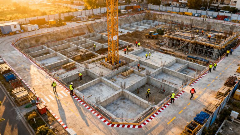
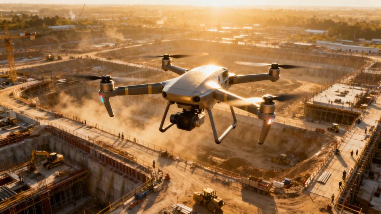
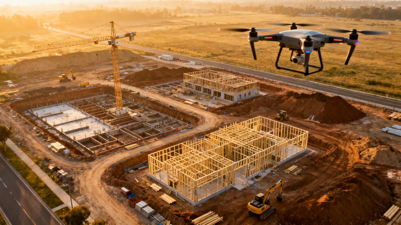
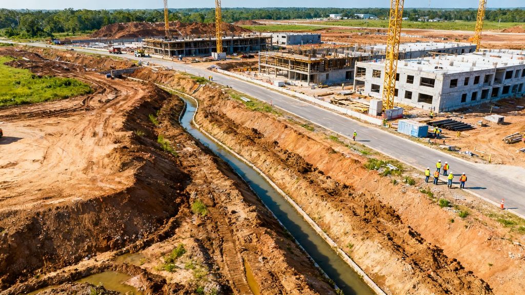
Drone construction progress monitoring is more than a set of attractive aerial photographs. It can combine repeatable flights, processed mapping data, visual comparisons, and reports that help owners and project teams understand what changed. The right scope depends on whether the project needs simple documentation, measured site data, or a record that supports decisions and disputes.
Aerial image and video capture
A monitoring visit usually begins with flight planning around the current phase of work, site conditions, and the viewpoints stakeholders need to see. The provider may capture still images, video, or both, with repeatable routes making week-over-week comparisons easier. Basic photography is generally less expensive than a service that requires extensive coverage, difficult access, or carefully controlled capture conditions.
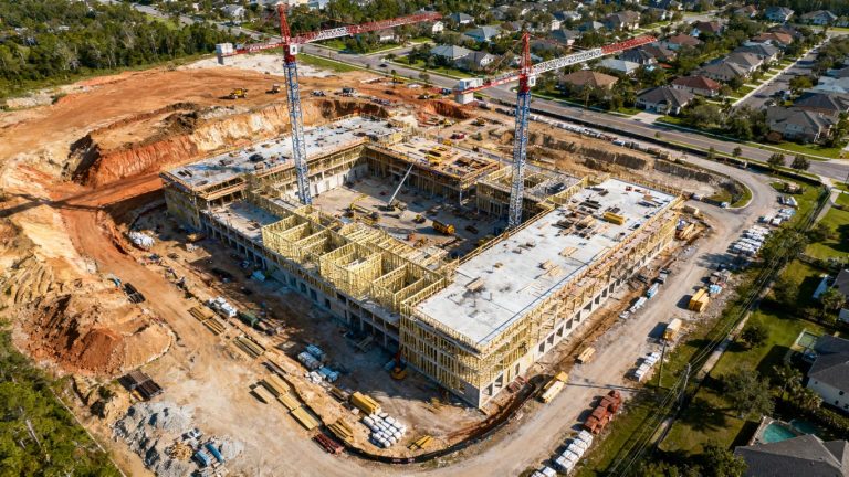
The value is consistency rather than volume. A few well-chosen perspectives can show grading, foundations, structures, access routes, and material staging without asking a project manager to walk the entire site. 1st Choice Aerials describes weekly progression mapping for large-scale developments, along with high-resolution imagery and orthomosaics for a clear visual record.
Orthomosaics, 3D models, and site maps
Processed drone data can turn individual photographs into broader site documentation. Depending on the scope, that may include orthomosaics, 3D models, topographic information, or other mapped outputs. These deliverables take more processing and quality control than a folder of photographs, so they should be priced as a separate layer of work when they are required.
The practical question is how the team will use the data. A map for visual orientation has different requirements from a dataset used for measurements or comparison with design information. Clarifying the intended use before the flight helps prevent paying for precision or file formats that no one will use.
Progress reports and visual documentation
A progress report gives the imagery a project context. It may organize photographs by date, summarize visible work, compare milestones, and call attention to changes that deserve review. Reports are particularly useful when owners, lenders, designers, or remote executives cannot visit the site regularly.
A useful report should be easy to scan and repeatable from one visit to the next. The time-stamped monitoring guide describes the value of consistent aerial documentation as a record that can support progress verification and communication. Those benefits depend on agreeing in advance about report frequency, recipients, and the level of narrative detail.
Project management and collaboration features
Some monitoring arrangements include a shared portal, map viewer, commenting tools, or organized access for different stakeholders. Others simply deliver files through a download link. Collaboration features can add cost, but they may reduce the time teams spend searching through disconnected photographs and email attachments.
Ask whether the quoted platform supports user permissions, dated comparisons, downloads, and retention for the full project. A portal is most useful when it becomes part of the project routine rather than another place where information is uploaded and forgotten.
Typical pricing models for drone monitoring
There is no single standard rate for construction monitoring. Providers commonly price the work per visit, by subscription, as a complete project package, or as an internal program managed by the construction company. Comparing these models means comparing the total workflow, not just the time a pilot spends in the air.
Per-flight and per-visit pricing
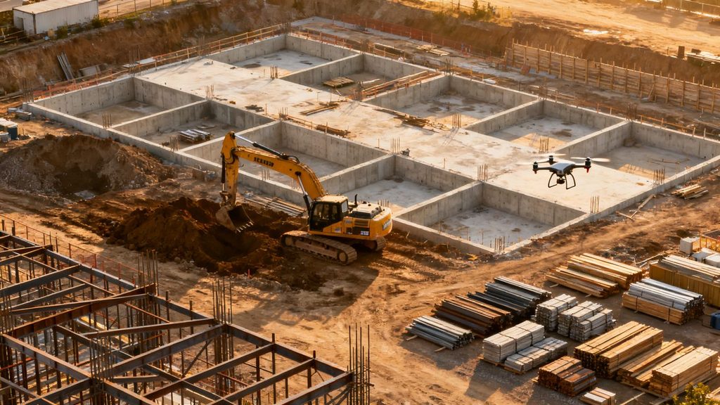
Per-visit pricing works well when a project needs occasional documentation or has an uncertain schedule. The fee may include mobilization, flight operations, a defined set of images, and basic delivery. Processing, travel, extra areas, or rushed turnaround may be listed separately.
This model is easy to understand, but the total can become uneven over a long build. Before choosing it, estimate the number of visits and ask whether the provider can hold a consistent flight path and deliver comparable views each time.
Monthly monitoring subscriptions
A monthly subscription bundles recurring visits and often creates a predictable budget. It can suit projects that need weekly, biweekly, or monthly updates, especially when the same site will be documented for many months. The scope should state how many visits are included and what happens when weather or construction activity requires a reschedule.
Subscriptions can also make reporting more regular. However, a low monthly price may cover only basic imagery, while mapped outputs, additional flights, or custom reports remain add-ons. Compare the included deliverables rather than treating the subscription label as a guarantee of value.
Full-project service packages
A full-project package covers an agreed period or set of milestones, from pre-construction documentation through closeout. It may include a flight calendar, standardized viewpoints, processing, reports, storage, and a defined number of revisions. The larger commitment can simplify procurement and reduce uncertainty about individual visit charges.
This arrangement works best when milestones are known and the provider understands the project’s audiences. The contract should still explain what happens if the schedule extends, the site expands, or the team requests data beyond the original scope.
In-house drone program costs
An in-house program replaces service invoices with equipment, training, staff time, insurance, maintenance, software, compliance administration, and processing costs. It can make sense for a company with many active sites and enough recurring work to keep trained operators productive. It is less attractive when flights are infrequent or when specialized data processing is needed only occasionally.
The apparent savings should be tested against the full operating burden. Internal staff must also maintain consistency, preserve records, and cover the work when the usual operator is unavailable. Outsourcing may be cheaper when the company values dependable deliverables more than direct control of each flight.
The main factors that affect the cost
The price of a monitoring program reflects both fieldwork and everything that happens around it. A small, open site with simple photographs is a different assignment from a multi-phase development requiring measured mapping and stakeholder-ready reporting. Location, timing, safety requirements, and data handling can all shift the quote.
Project size and site complexity
A larger footprint usually requires more flight planning, batteries, images, processing time, and review. Complexity matters as much as acreage: tall structures, tight boundaries, active equipment, overhead obstacles, and multiple work zones can make a site slower to document safely.
Give providers a current site plan or approximate boundary when requesting prices. If the footprint is expected to grow, ask whether expansion is billed by area, by flight time, or through a revised project fee.
Monitoring frequency and project duration
Weekly monitoring produces a richer record than monthly monitoring and requires more visits over the life of the build. A short project may justify a concentrated series of flights, while a multi-year development needs a schedule that remains useful without creating unnecessary repetition.
The best frequency follows the construction rhythm. Earthwork, structural framing, and major installations may benefit from closer observation than slower periods. A milestone-based schedule can sometimes provide more useful evidence than a fixed calendar alone.
Required image resolution and data outputs
Resolution and deliverable type affect both capture and processing. Basic aerial photographs are relatively straightforward, while orthomosaics, 3D models, volumes, or files intended for technical workflows may require more detailed planning and review. Accuracy requirements should be stated plainly rather than assumed from the word “mapping.”
Ask what file types, coordinate references, measurements, and quality checks are included. Paying for a technical output only makes sense when the project team has a defined use for it.
Travel, permits, and site-access requirements
Travel time, difficult parking, restricted airspace, site inductions, escorts, and weather constraints can all influence the cost. Commercial operations also require appropriate regulatory planning, and some locations may need additional coordination before a flight can happen.
A quote based only on flight time can therefore be misleading. Confirm whether mobilization, access delays, rescheduling, and regulatory administration are included or billed separately.
Surveying and specialized reporting needs
Survey-grade work, earthwork quantities, thermal imagery, inspections, or design comparisons require a more specialized scope than routine progress photography. The provider may need control points, additional validation, technical review, or coordination with a surveyor or design team.
List these needs at the start of procurement. A precise brief helps providers price the actual assignment and reduces the likelihood of change orders after the first flight.
Average cost ranges by project type
Published prices vary widely by region and scope, so broad ranges should be treated as budgeting guidance rather than promises. A basic visit may cost a few hundred dollars, while recurring mapping and reporting can reach several thousand dollars over a month or milestone cycle. The numbers below describe relative planning bands and should be tested with local quotes.
Small residential and commercial projects
Small sites often need a short flight, a modest image set, and simple delivery. A one-time visit may fall in the low hundreds of dollars, while a short recurring program can cost several hundred dollars per month depending on travel and reporting.
For these projects, the main pricing mistake is requesting a complex mapped deliverable when the actual need is visual documentation. State whether measurements, models, or only dated photographs are required.
Mid-size construction sites
Mid-size commercial sites commonly need more coverage, repeatable viewpoints, and organized reporting. A recurring program may range from several hundred to a few thousand dollars per month, with the upper end reflecting frequent visits, processed mapping, or more detailed comparisons.
The number of stakeholders can matter here. If reports must serve an owner, lender, contractor, and design team, the provider may spend more time organizing and reviewing the material than flying the site.
Large and multi-site developments
Large developments involve broader coverage, multiple work zones, longer travel routes, and more demanding data management. Budgeting may reach several thousand dollars per monitoring cycle, particularly when the work includes orthomosaics, 3D models, earthwork quantities, or custom dashboards.
For multi-site work, ask for a portfolio rate or standardized scope. Consistent templates and flight procedures can make the program easier to manage and may reduce per-site administration.
Complex infrastructure and industrial projects
Infrastructure and industrial assignments often require specialized planning, safety coordination, technical outputs, or difficult access. Costs can move well beyond ordinary progress photography and may be priced by phase, site, crew requirement, or deliverable package.
The most useful comparison is not the lowest flight fee. Review the provider’s experience with the environment, the proposed quality controls, and the consequences of incomplete or delayed data.
What is included in a drone monitoring quote
A good quote makes the invisible work visible. It explains what happens before the flight, how data is processed, what the client receives, and which circumstances create additional charges. That detail makes competing proposals easier to compare and prevents a low headline price from hiding an incomplete scope.
Flight planning and regulatory compliance
This line should identify planning, site review, airspace checks, operator qualifications, permissions, and coordination with the jobsite. It should also explain whether the provider handles rescheduling when weather or unsafe conditions prevent a flight.
Ask how the provider will maintain repeatability across visits. A consistent plan is valuable only if it is practical for the changing site and does not interfere with active construction.
Data processing and quality control
Processing may include image selection, stitching, georeferencing, model creation, measurements, and visual inspection for gaps or unusable captures. Quality control is especially relevant when the output will inform quantities, progress claims, or technical decisions.
Request a plain-language description of the checks performed. You should know whether the fee covers a usable final dataset or merely the initial upload of captured files.
Stakeholder reports and progress comparisons
Reports may be delivered as PDFs, online views, annotated images, dashboards, or a combination of formats. The quote should state the reporting cadence, included recipients, comparison method, and whether narrative observations are part of the service.
The more audiences a report serves, the more valuable a clear structure becomes. Decide whether the report is meant to support a meeting, verify a milestone, document a claim, or simply preserve an archive.
Data storage, sharing, and revisions
Storage terms should cover access, retention, downloads, permissions, and what happens after the contract ends. Revision allowances matter too: a reasonable correction to an error is different from a new report format or an additional analysis requested later.
Clarify ownership and export rights before work begins. Keeping a local copy of important project records can reduce dependence on a platform that may change pricing or access rules.
Additional charges to review
Look carefully for costs tied to travel, expedited delivery, extra acreage, repeat flights, difficult access, specialized sensors, control points, technical measurements, and extended storage. These are not necessarily unreasonable; they simply need to be visible.
A short list of likely extras helps with approval. It also gives the project team a way to compare quotes that use different labels for similar work.
How to calculate the return on investment
The return on drone monitoring is rarely just the price of the images. It comes from combining avoided site travel, earlier decisions, fewer misunderstandings, stronger payment records, and reduced rework. Use conservative estimates and compare them with the complete monitoring cost, including processing and administration.
Reducing manual site-walk costs
Start by estimating how many people travel to the site, how often they go, and how much time the visit takes. Drone documentation may not replace every inspection, but it can reduce unnecessary trips and give remote participants a shared view before a meeting.
Count travel, labor, scheduling, and interruption costs rather than just mileage. Then subtract the monitoring fee from the realistic annual savings to establish a first ROI estimate.
Identifying delays and rework earlier
Regular imagery can reveal stalled work, incomplete areas, access problems, or visible deviations sooner than an occasional visit. Earlier awareness does not automatically prevent a delay, but it gives the team more time to investigate and respond.
A practical model assigns a cautious value to one avoided rework event or one week of recovered schedule. The construction rework analysis offers a useful angle for thinking about aerial comparisons as an early-warning record rather than merely a visual archive.
Improving payment and dispute documentation
Dated aerial records can help establish what was visible at a particular stage of construction. That may support draw reviews, progress conversations, change documentation, or dispute investigation, provided the records are organized and retained properly.
The value is difficult to predict, so do not treat documentation as guaranteed financial protection. Instead, estimate what a clearer record could save in review time, professional fees, or delayed approvals.
Supporting safety and communication
Aerial information can help teams discuss access, staging, site congestion, and visible conditions without sending every stakeholder into an active work area. It does not replace required safety inspections or qualified judgment, but it can improve the quality of planning conversations.
The savings may appear as fewer coordination meetings, quicker preparation, or less time spent assembling photographs. Those small efficiencies can become meaningful over a long project.
Estimating the value of faster decisions
List decisions that routinely wait for a site visit, updated photograph, or better shared context. Estimate the cost of that delay in staff time, subcontractor downtime, procurement timing, or schedule exposure.
Then compare the estimated benefit with the monitoring program’s full annual cost. A simple spreadsheet with conservative assumptions is usually more credible than a broad claim about productivity.
How to choose a cost-effective monitoring solution
The least expensive option is not always the most economical. A cheap flight that produces inconsistent images or unusable files can create another round of work, while an appropriately scoped service can make project information easier to act on. Evaluate the complete chain from capture to decision.
Comparing drone service providers
Compare providers on more than aircraft or camera specifications. Review sample deliverables, operator qualifications, insurance, response times, local access, and the provider’s ability to maintain a repeatable process across the project.
Ask for an itemized proposal from each candidate. 1st Choice Aerials lists progress monitoring, site evaluations, pre-construction planning, high-resolution aerial imagery, data analysis, and compliance documentation among its construction services, which illustrates the kind of scope that should be made explicit in a comparison.
Evaluating software and deliverable quality
Open sample reports and inspect them as a project stakeholder would. Are dates and locations clear? Can the team compare visits without hunting through folders? Are the files downloadable in useful formats, and is the visual quality sufficient for the intended decision?
A polished interface cannot compensate for incomplete capture. Ask how missing areas, poor weather, blocked views, and processing errors are handled before accepting a software-centered proposal.
Deciding between outsourcing and hiring in-house
Outsourcing is often attractive when monitoring is occasional, locations are dispersed, or the project needs specialist mapping. An internal program may be reasonable when a company has many sites, trained staff, and a reliable process for equipment, compliance, processing, and recordkeeping.
Compare annual total cost rather than purchase price. Include staff availability, training, insurance, software, maintenance, backups, and the cost of covering flights during leave or peak workload.
Building a monitoring schedule around project milestones
Start with the decisions the imagery must support. Baseline capture, excavation, foundations, framing, enclosure, major installations, closeout, and disputed work may deserve different levels of attention than routine periods.
A milestone schedule can be supplemented with regular visits when the project is changing quickly. This approach keeps the program purposeful and avoids paying for identical coverage when little has changed.
Questions to ask before signing a contract
A short procurement checklist can expose the differences between otherwise similar quotes. Ask these questions before committing:
- How many visits, site areas, and viewpoints are included?
- Which images, maps, models, reports, and file formats will be delivered?
- Who handles compliance, access coordination, weather delays, and rescheduling?
- What are the turnaround time, revision allowance, storage period, and extra charges?
The answers should appear in the written scope, not remain as informal promises. When the deliverables and assumptions are clear, the monitoring cost is much easier to manage.
Conclusion
The answer to how much does drone construction progress monitoring cost depends less on the drone itself than on the service wrapped around it. Define the site, cadence, data outputs, reporting needs, and likely extras before comparing quotes, then connect the price to travel savings, earlier decisions, documentation, and avoided rework. A modest, well-scoped program can be more valuable than an expensive package filled with deliverables the project team never uses.
Frequently Asked Questions
How much does drone construction progress monitoring cost?
A basic visit may cost a few hundred dollars, while recurring programs with mapping, reports, and larger coverage can cost several thousand dollars per cycle. Local conditions and deliverables determine the final price.
Is drone monitoring usually charged per flight or monthly?
Both models are common. Per-flight pricing suits occasional documentation, while monthly subscriptions provide predictable recurring coverage and are often easier to budget for longer projects.
What makes construction drone monitoring more expensive?
Large sites, difficult access, frequent visits, travel, specialized mapping, high accuracy requirements, technical reporting, and expedited delivery can all increase the total cost.
Do drone monitoring quotes include 3D models?
Not always. Three-dimensional models, orthomosaics, measurements, and other processed outputs should be listed explicitly in the quote rather than assumed to be included with aerial photographs.
How often should a construction site be monitored?
Weekly, biweekly, monthly, and milestone-based schedules are all possible. The best choice follows the speed of construction and the decisions the documentation needs to support.
Can drone monitoring replace site inspections?
No. Aerial documentation can supplement site walks, progress reviews, and communication, but it does not replace required inspections, professional judgment, or safety procedures.
How can a construction company judge whether monitoring is worthwhile?
Compare the full program cost with realistic savings from fewer trips, faster decisions, earlier issue detection, better documentation, and reduced rework. Conservative assumptions make the calculation more useful.