How to choose a drone service provider in the Bay Area
Key Takeaways
Choosing a drone provider in the Bay Area takes more than comparing attractive sample footage. The right fit depends on project needs, legal compliance, technical skill, communication, and clearly defined terms.
- Define the footage, data, locations, deliverables, and usage rights before requesting quotes.
- Confirm Part 107 certification, airspace authorization, insurance, and safety procedures.
- Match cameras, sensors, mapping tools, and post-production skills to the assignment.
- Compare relevant local experience, complete pricing, contract terms, and communication practices.
- Use a written scorecard and scope of work before booking the provider.
Define your project requirements before contacting providers
A clear brief makes every later comparison more useful. Before searching for a provider, decide what the finished work must help you see, measure, document, or promote. This prevents a low quote from looking attractive simply because it leaves out essential services.
The phrase aerial photography services can describe very different assignments, from marketing images to technical documentation. Treat the first conversation as a planning discussion, not just a request for a number.
Clarify the type of drone footage or data you need
Start by describing the decision the imagery will support. A property listing may need a handful of polished stills, while a construction manager may need repeatable views that make progress easy to compare. If you need measurements or analysis, say so early; ordinary video is not a substitute for structured aerial data.
Ask prospective providers how they interpret terms such as “inspection,” “survey,” “mapping,” and “documentation.” Those words can cover different outputs, levels of accuracy, and processing steps. A useful brief names the audience, purpose, preferred perspective, and any data format your team already uses.
Identify the locations, properties, and filming conditions
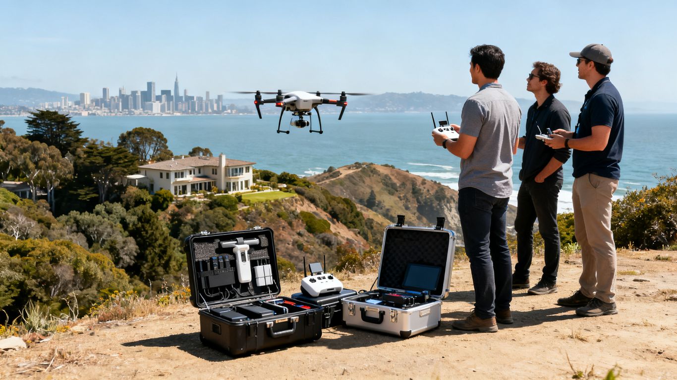
Give providers the exact site or a practical description of it, including nearby buildings, roads, bodies of water, restricted areas, and the height or scale of the property. Bay Area terrain can change quickly from dense urban blocks to steep hillsides and exposed coastal locations, so a provider needs more than a city name.
Also describe the preferred date, time of day, lighting, wind exposure, active work areas, and access constraints. Sharing site photographs or a basic map can reveal planning issues before anyone arrives. Early site detail saves time because the provider can identify questions about launch areas, visibility, and safe operating boundaries in advance.
Set deliverables, deadlines, and usage rights
A professional quote should state what you receive and when. Specify the number of edited photos, length and format of videos, map or model outputs, raw files, naming conventions, and delivery method. If several visits are needed, define whether each visit receives its own package or contributes to a final report.
Usage rights deserve equal attention. Clarify whether you may use the work for advertising, internal reporting, investor materials, social media, resale, or future campaigns. Confirm who retains the raw files, how long files are stored, and whether revisions are included.
Determine whether you need photography, video, mapping, or inspections
Choose the service based on the job rather than on the most impressive portfolio. Photography and video are primarily visual deliverables, while mapping may require planned flight paths, repeatable capture, processing, and a specified output. An inspection may also require a written report, close detail, thermal data, or review by another qualified professional.
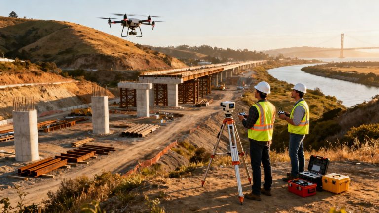
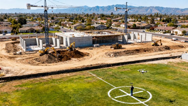
For a construction assignment, 1st Choice Aerials describes professional-grade aerial visuals for marketing, progress monitoring, and regulatory documentation, along with site evaluations and cut/fill calculations. That example illustrates why the same aircraft can support very different scopes; ask each Bay Area provider to connect its proposed service to your actual decision.
Verify FAA compliance, insurance, and safety practices
A polished portfolio does not establish that a flight can be conducted legally or safely. Ask for current documentation and a plain-language explanation of how the provider plans the operation. The goal is not to overwhelm a client with regulations, but to ensure the assignment has been considered before equipment is packed.
Compliance also affects scheduling. A provider who identifies airspace, people, property, and weather constraints early is more likely to give you a realistic production plan rather than a promise that later changes.

Confirm the pilot’s Part 107 certification
Commercial drone operations in the United States generally require the appropriate FAA remote pilot credential, commonly referred to as Part 107 certification. Ask who will actually operate the aircraft, whether the certification is current, and whether the named pilot will be present for the planned work.
Do not stop at a badge or a line in an email. The provider should be able to explain how certification relates to the proposed operation and what happens if the original pilot becomes unavailable. A clear answer is a basic sign of professional preparation.
Check authorization requirements for Bay Area airspace
The Bay Area includes airports, heliports, dense urban areas, and locations where temporary restrictions may apply. Ask the provider to identify the relevant airspace and explain whether an authorization, waiver, or other coordination is needed for the proposed flight.
The responsibility for this review should be explicit in the quote. You should also know whether the schedule depends on approval, whether a substitute location is available, and who absorbs costs if an authorized flight window changes.
Review liability insurance and operational coverage
Request evidence of aviation or drone liability coverage and ask what the policy applies to. The amount alone is not the whole answer: check whether the named business, aircraft, pilots, and project activities are covered, and whether additional insured language is available when your organization requires it.
Insurance should align with the risk of the site. A brief residential shoot and an active construction project may involve different people, property, and operational exposures. Have your own procurement or risk team review the certificate rather than relying on a verbal assurance.
Ask how the provider manages privacy, people, and property
A responsible provider should explain how it avoids unnecessary capture of people, respects private property, protects files, and handles operations near roads or active sites. Ask about consent, exclusion zones, observers, and what happens if an uninvolved person enters the operating area.
The answer should be practical rather than vague. You should understand who can pause the flight, how the launch and landing area is controlled, and how sensitive imagery is shared after the assignment. These details matter especially for occupied properties and public-facing locations.
Evaluate technical capabilities and equipment
Equipment matters, but it should follow the brief rather than lead it. A large camera, thermal sensor, or mapping workflow is useful only when it produces the type of information your project requires. Ask providers to explain their choices in terms of output, accuracy, detail, and working conditions.
A technically capable team should also be honest about limits. Wind, light, reflective surfaces, obstructions, and site access can affect results, and a credible proposal makes those tradeoffs visible.
Match cameras and sensors to the project
Discuss resolution, lens choice, stabilization, low-light needs, and the distance required for safe capture. For measurement or inspection work, ask whether the proposed sensor and flight plan can provide the detail needed for the intended conclusion. Do not assume a visually sharp image is automatically suitable for analysis.
The provider should identify what is included in the base quote and what requires specialized equipment. 1st Choice Aerials describes UAVs equipped with high-resolution cameras, LiDAR, and thermal sensors for site mapping, 3D models, and inspection reports. Use that kind of specificity as a model for the questions you ask, without assuming every provider offers the same equipment.
Assess experience with mapping, thermal imaging, and inspections
Specialized work depends on more than owning a sensor. Ask who plans the capture, processes the data, interprets the output, and reviews quality. For thermal imaging, discuss environmental conditions and the limits of what the imagery can establish; for mapping, confirm the expected outputs and accuracy requirements.
1st Choice Aerials describes detailed aerial maps and 3D models for construction, progress tracking, inspections, and documentation. A Bay Area provider should similarly connect its stated capability to a sample deliverable, with enough detail for you to judge whether it fits your use case.
Review backup equipment and weather contingencies
A spare aircraft is not the only useful backup. Ask about replacement batteries, memory, data handling, alternate crew members, and the procedure for a failed preflight check. You should also know how the provider decides whether wind, rain, fog, heat, or poor visibility makes a flight unsafe.
Weather language in a contract should be specific enough to guide rescheduling. Confirm notice periods, cancellation charges, replacement dates, and whether partial work is delivered when conditions deteriorate. A sensible contingency protects both the schedule and the quality of the final material.
Confirm post-production and data-processing capabilities
Find out who edits the imagery and processes any maps, models, or reports. Ask for sample delivery formats, expected turnaround, review stages, and file specifications. If your team needs color correction, captions, measurements, annotations, or organized source files, include those requirements before the quote is finalized.
The most capable flight can still create problems if files arrive late, lack context, or cannot be opened by your team. Request a sample redacted deliverable when possible, and ask how corrections are handled if an output does not meet the agreed specification.
Review local experience and past work
A portfolio should help you predict how a provider will perform on your site, not merely entertain you. Look for evidence of consistent planning, capture, editing, and delivery across assignments that resemble yours. Local knowledge is useful, but it should be tested against actual examples rather than accepted as a slogan.
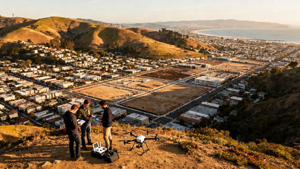
When reviewing San Francisco drone services, for example, notice whether the provider’s material demonstrates a process for real estate, construction, surveying, or another relevant category. The same approach applies throughout the Bay Area: judge the fit of the work, not just its location.
Look for projects similar to yours
Sort portfolios by purpose, property type, terrain, and required output. A dramatic coastal reel may tell you little about a constrained commercial inspection, just as a real estate gallery may not demonstrate repeatable construction documentation. Ask to see work with comparable access, scale, and operating conditions.
Pay attention to whether the examples show complete deliverables or only selected frames. A provider should be comfortable explaining the brief, the capture plan, the post-production process, and the client’s intended use for relevant projects.
Evaluate the quality and consistency of the portfolio
Look beyond the occasional standout image. Check exposure, horizon control, motion, focus, framing, color treatment, and continuity between shots. For data work, review legibility, file organization, stated accuracy, and whether the output appears usable without extensive rework.
A consistent body of work is usually more informative than one spectacular flight. Ask who performed the editing and whether the person who captured the current work will also manage its finishing. This helps separate a repeatable service from a carefully selected highlight reel.
Ask about experience across Bay Area cities and terrain
Local experience should include practical familiarity with the environments where you operate. Ask whether the provider has worked around dense development, slopes, agricultural land, industrial properties, coastlines, or heavily trafficked areas relevant to your project. Experience in one city does not automatically transfer to every nearby site.
Have the provider explain how terrain and surrounding activity change its planning. A thoughtful answer may cover launch access, line of sight, sunlight, wind, nearby aviation activity, and coordination with people on the ground. Those details are more useful than a long list of city names.
Request client references and measurable results
Ask for references from clients with a similar scope and listen for specifics about reliability, communication, revisions, and delivery. If a provider shares measurable results, clarify what was measured and whether the result belonged to that particular client rather than being a general promise.
References can also reveal less visible parts of the service. Ask whether the provider arrived prepared, documented changes, handled weather professionally, and delivered files in the agreed format. These operational details often matter more than a single impressive image.
Compare pricing, packages, and contract terms
Price comparisons become fair only after the scopes are aligned. One quote may include editing, travel, permits, and a report while another covers flight time alone. Ask every finalist to separate the same major components so you can compare value rather than just totals.
A useful pricing conversation is candid about uncertainty. Sites with difficult access, changing schedules, repeat visits, or specialized processing may require allowances, but those allowances should be explained before booking.
Understand how providers calculate project costs
Ask what drives the estimate: flight time, crew size, travel, equipment, number of locations, processing, urgency, or revision rounds. For mapping and inspection work, data processing may be a larger part of the cost than the flight itself. For marketing content, editing and formatting may carry more weight.
You can use commercial drone mapping costs as a reminder to ask about job complexity, data type, location, and required accuracy. Do not use an online range as a substitute for a site-specific proposal; use it to make sure the quote explains its assumptions.
Compare hourly, daily, and fixed-project pricing
Hourly pricing can suit a flexible shoot, while a fixed project fee may be easier to manage when deliverables are well defined. Daily rates can work for multiple locations or a full production schedule, but confirm what counts as a day and whether editing is included.
The following comparison helps identify what each structure tends to reward and where questions are needed:
| Pricing structure | Often suits | Clarify before signing |
| Hourly | Short or flexible capture sessions | Minimum hours, travel time, editing |
| Daily | Multiple sites or a longer shoot | Working hours, overtime, deliverables |
| Fixed project | Defined outputs and schedule | Scope limits, revisions, change fees |
| Recurring package | Repeat monitoring or updates | Visit frequency, storage, cancellation |
Use the table as a starting point, not a recommendation. The best structure is the one that makes the provider’s responsibilities and your expected outputs easiest to verify.
Check for travel, editing, permit, and revision fees
Read the estimate for charges that sit outside the headline price. Travel between sites, parking, expedited delivery, airspace coordination, specialized sensors, editing, raw files, and additional revisions can all change the final amount. Ask how taxes and cancellation charges are treated as well.
Request one written example of a change that would trigger a new fee. That answer reveals whether the provider has a clear scope process or relies on informal assumptions. It is much easier to resolve those questions before the aircraft is scheduled.
Confirm ownership, licensing, and delivery terms
The contract should state who owns the captured material, what license the client receives, and whether the provider may use the work in its portfolio. Define the delivery format, file retention period, archive access, and any restrictions on publishing or modifying the work.
If several parties will use the imagery, name those uses directly. Marketing, internal reporting, public records, investor presentations, and resale may require different permissions. A short licensing conversation now can prevent an expensive dispute later.
Assess communication and project management
A drone assignment has moving parts on the ground as well as in the air. The provider must understand the brief, coordinate access, monitor conditions, and keep stakeholders informed. Strong communication is not about constant messages; it is about making the important decisions visible at the right time.
Test the working relationship during the sales process. A provider who asks useful questions and documents assumptions is giving you evidence of how the project may be managed after booking.
Evaluate response times and planning processes
Notice whether replies address your actual questions or simply send a generic package. Ask when you will receive a production plan, what information the provider needs from you, and how far in advance weather and airspace checks occur. Fast communication is helpful, but thoughtful preparation is more valuable.
Request a short written recap after the initial call. It should capture the site, intended outputs, timing, constraints, and open questions. If the recap is inaccurate, correct it before comparing the proposal with others.
Identify your primary point of contact
Know who owns the relationship from the first briefing through delivery. If a coordinator, pilot, editor, and data specialist are involved, ask how information moves between them. A single accountable contact can reduce duplicate explanations, but only if that person has authority to make decisions.
Also ask who will be on site and who approves substitutions. If the assigned pilot changes, the provider should explain how the replacement is briefed and whether the change affects qualifications, insurance, or the planned output.
Confirm scheduling, approvals, and progress updates
Build a simple approval path into the proposal. Identify who approves the flight plan, who grants site access, who reviews a first cut or sample output, and when final acceptance occurs. For repeat work, agree on a regular update rhythm rather than renegotiating the process each visit.
A useful schedule includes dependencies, not just dates. It should show what happens if access is delayed, weather interrupts capture, or a stakeholder requests a scope change. That shared understanding makes the schedule more realistic for everyone.
Ask how revisions and unexpected changes are handled
Clarify how many revision rounds are included and what counts as a correction versus a new request. For field changes, ask whether the pilot can adapt within the approved safety plan or must pause for client authorization. These distinctions protect both quality and budget.
Put the change process in writing. A short email confirming the revised deliverable, price, and date is usually enough for a small adjustment, while larger changes deserve a formal amendment. The important thing is that no one has to guess what was agreed.
Make the final selection with a provider scorecard
Once proposals arrive, resist choosing solely on price or the most cinematic portfolio. Score each finalist against the same requirements and record any assumptions that could affect the result. This turns a subjective decision into a transparent one that colleagues can review.
The scorecard does not need to be complicated. It only needs to distinguish must-haves from preferences and show where a provider is strong, uncertain, or outside the project’s needs.
Compare finalists across quality, compliance, and value
Use a short list of weighted categories, giving the greatest weight to requirements that could make the project unusable. For example, legal readiness and deliverable fit may matter more than a minor difference in editing style. Record evidence beside each score instead of relying on memory.
A practical scorecard can include:
- Deliverable fit and visual or data quality
- FAA, insurance, and site-safety readiness
- Relevant Bay Area experience and references
- Communication, schedule, and revision process
- Total cost, licensing, and contract clarity
After scoring, discuss the gaps rather than simply adding the numbers. A high total with one unresolved compliance issue should not outrank a slightly less polished proposal that fully meets the project’s essential requirements.
Weigh local expertise against specialized capabilities
Local knowledge is valuable when it helps with access, terrain, airspace, and scheduling. Specialized capability matters when the project requires mapping, thermal imaging, repeatable measurements, or complex processing. Decide which of these is essential and which can be supported through planning or subcontracting.
Do not treat “local” as a complete qualification. Ask for evidence that the provider has handled the particular environment and output you need. Conversely, a technically strong provider should explain how it will manage the local operating conditions rather than assuming equipment solves every problem.
Check references, reviews, and business credentials
Review references alongside public feedback, but keep the evidence proportional. Look for repeated patterns about preparation, safety, timeliness, file quality, and responsiveness. Confirm the legal business name, insurance documentation, certification details, and any procurement requirements your organization has.
If reviews conflict with references, ask the provider for context. A reasonable explanation may involve a change in staff or service scope, while evasiveness is itself useful information. The purpose of this check is confidence in the working process, not a perfect public record.
Use a written scope of work before booking
Before paying a deposit, make sure the scope names the sites, dates, flight objectives, equipment assumptions, deliverables, formats, usage rights, price, cancellation terms, and revision process. Include who supplies access, approvals, and on-site coordination. If the work is recurring, state how future visits will be requested and priced.
Read the final scope against the proposal and your original brief. Any missing promise should be added before signing, and any unclear phrase should be replaced with a measurable description. That final document is the best protection against an avoidable mismatch.
Conclusion
The best way to choose a drone service provider in the Bay Area is to compare complete, realistic scopes rather than isolated prices or impressive footage. Define the assignment, verify compliance and safety, test technical and local experience, then select the provider whose communication and contract make the work easiest to trust.
Frequently Asked Questions
How early should I contact a drone service provider?
Contact providers as soon as you know the site, intended use, and preferred timeframe. Extra lead time helps with airspace review, access coordination, weather planning, and any specialized processing.
What should a drone service quote include?
A quote should identify the locations, capture plan, equipment assumptions, deliverables, editing or processing, schedule, travel, permits, revisions, usage rights, and all additional fees. It should also state what happens if weather or access prevents the planned flight.
Is Part 107 certification enough to choose a provider?
No. It is an important compliance check, but you should also review insurance, relevant experience, safety procedures, equipment, deliverable quality, communication, and contract terms.
How do I compare drone photography with drone mapping?
Compare the intended result. Photography produces visual assets, while mapping generally involves planned data capture and processed outputs such as maps or models. Ask providers to explain the workflow, accuracy, and file formats for your specific use.
What weather conditions can delay a drone project?
Wind, rain, fog, poor visibility, extreme temperatures, and changing light can affect safety or image quality. Ask the provider which conditions trigger rescheduling and how replacement dates and cancellation charges are handled.
Should I ask for raw drone footage or data?
Ask for raw files when your team needs future editing, archival access, or independent processing, but confirm storage, file formats, transfer methods, and licensing. Raw material may require additional fees and may not be useful without the provider’s processing workflow.
What is the most important contract term?
There is no single term for every project, but the scope of work is foundational. It should make the deliverables, schedule, price, usage rights, safety responsibilities, revisions, and change process clear enough that both sides share the same expectations.