Aerial LiDAR survey pricing in California: 2026 cost guide
Key Takeaways
California aerial LiDAR pricing depends less on acreage alone than on terrain, accuracy, control, processing, and deliverables. A useful quote makes each of those assumptions visible.
- Small projects often carry a minimum mobilization charge rather than a simple per-acre rate.
- Dense vegetation, steep terrain, restricted airspace, and difficult access can raise field costs.
- Point density, vertical accuracy, ground control, and classification requirements strongly affect pricing.
- Drone LiDAR can be efficient for smaller or difficult sites, while manned aircraft may suit broad coverage.
- The best proposal compares deliverables, quality checks, schedule, insurance, and total project value—not just the headline price.
How much aerial LiDAR surveys cost in California
There is no single statewide price for an aerial LiDAR survey. A compact construction parcel near a major metro may cost less in field time but more in mobilization and airspace coordination than a larger rural site. For current budgeting, treat any published range as a starting point and request a quote tied to a defined boundary, accuracy target, and deliverable set.
The phrase aerial lidar survey pricing california usually describes a bundle of field capture, control, processing, quality assurance, and data delivery. Separating those components is the quickest way to understand why two apparently similar bids differ.
Typical price ranges by project size
For preliminary planning, a small drone LiDAR assignment may fall around $2,000–$6,000, while a 10- to 50-acre site may land near $6,000–$18,000. Larger, linear, or technically difficult projects can move beyond that range. These are planning allowances, not promises; California labor, travel, permitting, and data specifications can shift the final number considerably.
A useful comparison is the aerial survey cost guide, which frames pricing around method, coverage, accuracy, location, and provider availability. Ask each bidder to state whether its range includes control, classification, and revisions so the comparison remains fair.
Minimum project charges and mobilization fees
A survey crew still has planning, equipment, travel, safety, and processing costs when the mapped area is only a few acres. Providers may therefore set a minimum project fee, commonly several thousand dollars, before adding acreage or special requirements. Remote travel, ferrying equipment, road access, and repeated visits can add separate mobilization charges.
The practical question is not whether a minimum exists, but what it covers. Confirm whether the fee includes one field visit, flight planning, control placement, airspace coordination, preliminary processing, and a defined revision allowance.
Per-acre, per-flight, and fixed-project pricing models
Per-acre pricing is easy to understand, but it can hide minimums and exclusions. Per-flight or daily pricing may work better for a compact site with repeated passes, while a fixed-project price is often clearest when the deliverables and accuracy standard are already settled.
| Pricing model | Works best when | Common pricing concern |
| Per acre | Site size and conditions are predictable | Minimum charges may dominate small jobs |
| Per flight or day | Access and flight planning are straightforward | Extra flights may be billed separately |
| Fixed project | Scope and deliverables are clearly defined | Change orders need careful wording |
| Time and materials | Conditions are uncertain or evolving | Final cost is harder to forecast |
After identifying the model, ask for the assumptions behind it. A fixed quote is only genuinely comparable when the included point density, control, processing, and file formats match the other bids.
What is usually included in a survey quote
A standard quote may include project planning, field capture, GNSS or inertial positioning, point-cloud processing, basic classification, and delivery of agreed files. It may not include boundary surveying, extensive ground control, engineering interpretation, vegetation removal, traffic control, or repeated flights after weather delays.
1st Choice Aerials describes its aerial services as supporting construction, mapping, inspections, and environmental projects, but the exact scope of any assignment still belongs in the written proposal. Request an itemized list of included and excluded work rather than assuming a familiar service label covers every downstream need.
What drives aerial LiDAR survey pricing
The largest price differences usually come from project conditions rather than the laser sensor alone. California offers open agricultural ground, dense coastal vegetation, steep mountain terrain, crowded urban areas, and heavily regulated airspace within a relatively small market. Each setting changes how a crew plans, flies, checks, and processes the data.
A strong request for proposal describes the site and intended decisions before naming a sensor. That lets providers recommend a practical collection plan instead of pricing an unnecessarily demanding specification.
Survey area, terrain, and site accessibility
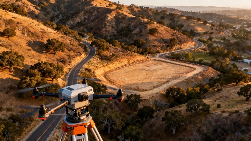
Acreage affects flight time, but shape matters too. Long corridors, disconnected parcels, steep slopes, tree cover, overhead lines, and limited launch areas may require additional planning or flight lines. Urban sites can bring building clearance, public-safety coordination, and airspace constraints that do not appear on a simple parcel map.
Travel distance and access also matter. A site that requires a long drive, a boat, a trail approach, or multiple launch locations can cost more than a larger site beside a usable staging area.
Required point density and accuracy
Point density is the number and distribution of captured measurements; accuracy describes how closely those measurements align with their true position. Higher density and tighter tolerances generally require slower flight, more overlap, stronger control, or additional checking. They also create larger files and more processing time.
State the intended use first. Preliminary terrain review, detailed grading design, vegetation analysis, and engineering documentation may need different specifications. Paying for the highest possible density is not automatically economical if the final decision does not use it.
Ground control, checkpoints, and elevation requirements
Ground control anchors the dataset to known positions, while independent checkpoints help test its accuracy. Some projects can use existing survey control if it is current, accessible, and compatible with the proposed coordinate system. Others need new targets, survey work, or additional checkpoints across varied terrain.
Vertical requirements deserve special attention in California, where a small datum or geoid misunderstanding can create a meaningful elevation shift. Confirm the horizontal and vertical reference, units, geoid model, and reporting standard before fieldwork begins.
Data processing, classification, and quality assurance
Raw returns are only one part of the assignment. Processing can include trajectory adjustment, point-cloud cleaning, ground and non-ground classification, breaklines, contours, digital elevation models, and a quality report. Each additional interpretation step takes time and should be priced explicitly.
A proposal should also explain how obvious gaps, noisy returns, edge effects, and questionable control will be reviewed. A cheaper capture with vague processing may become expensive when the client needs a usable surface or repeated corrections.
California pricing by project type and region
Project purpose changes the value of the survey and the level of detail needed. A contractor tracking earthwork may need repeatable surfaces on a schedule, while a land developer may need a carefully documented existing-conditions dataset. Regional conditions then add another layer of cost.
The most useful budget is therefore organized around the decision the data must support, not merely the number of acres flown.
Construction and civil engineering surveys
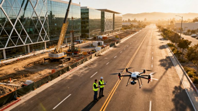
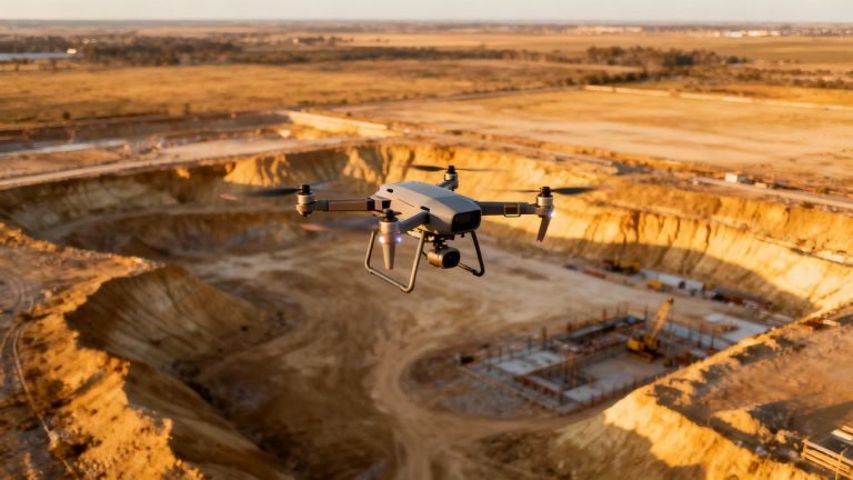
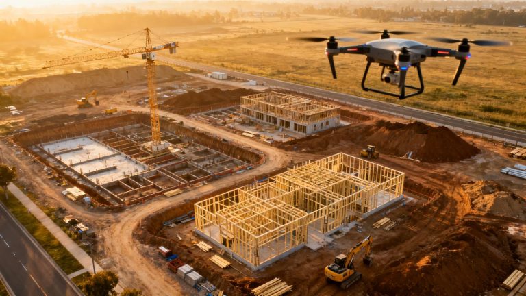
Construction surveys often prioritize quick access to terrain, stockpiles, drainage features, and active work areas. Repeat visits can make mobilization more efficient when flight plans and deliverables are standardized, although each visit still depends on weather and site safety.
For context, commercial drone mapping services are commonly priced around complexity, data type, location, accuracy, turnaround time, equipment, labor, and insurance. Those same categories are useful when evaluating a California LiDAR bid for civil work.
Topographic mapping for land development
Land-development mapping usually calls for a defined coordinate system, elevation reference, terrain model, contours, and clear limits of mapping. Dense vegetation or broken ground can increase the value of LiDAR because the project may need more dependable terrain observations than imagery alone can provide.
A pre-construction scope should identify whether the client needs a point cloud, surface model, contours, orth imagery, or survey drawings. Each deliverable affects processing and may require different professional review.
Forestry, utilities, and corridor mapping
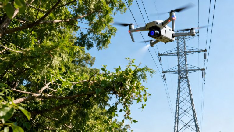
Forestry projects may need returns through canopy, while utility and transportation corridors often involve long, narrow extents, crossings, obstacles, and repeated alignment references. These assignments can be priced by mile, flight block, or fixed phase rather than by acreage.
Corridor work also makes turnaround and data organization important. Splitting files by stationing, segment, or asset area may be useful, but it should be agreed before capture so that the processing plan matches the final workflow.
Coastal, urban, mountain, and rural project differences
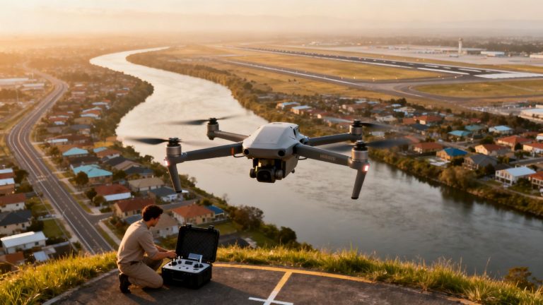
Coastal sites may face wind, salt exposure, fog, and restricted launch areas. Urban work can require careful separation from people, buildings, and traffic. Mountain sites bring elevation changes, shadowing, weather variability, and access issues, while rural projects may trade airspace simplicity for travel and communications challenges.
There is no reliable regional multiplier that replaces a site review. Two parcels in the same county can produce very different bids when one has clear access and the other requires several launches, additional control, or a difficult safety plan.
Comparing drone LiDAR with other aerial survey methods
Method selection should follow the terrain, required accuracy, coverage, and intended deliverables. Drone LiDAR is not automatically the least expensive option, and traditional ground surveying is not automatically inefficient. The right comparison includes field risk, schedule, rework exposure, and the usefulness of the resulting data.
For a broader construction perspective, drone topographical surveys can combine mapping concepts such as LiDAR, photogrammetry, orthomosaics, and 3D models. The important point is to specify what the project needs rather than buying a technology label.
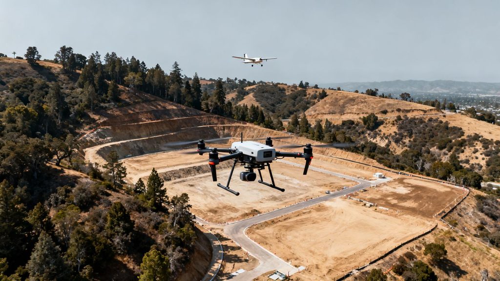
Drone LiDAR versus photogrammetry
Photogrammetry can be economical on open, well-lit sites where visible texture is plentiful and vegetation is limited. LiDAR actively measures surfaces and can provide useful ground returns beneath some canopy, making it a stronger candidate for wooded or visually difficult terrain.
Photogrammetry may provide highly intuitive visual imagery, while LiDAR can offer a more direct terrain dataset. The best choice depends on whether the project values photographic context, canopy penetration, ground elevation, or a combination of outputs.
Drone LiDAR versus manned aircraft LiDAR
Manned aircraft LiDAR generally becomes more attractive as the area expands, especially when broad coverage must be collected efficiently. Drone LiDAR can be practical for smaller sites, localized corridors, or areas where a lower operating altitude supports detailed collection.
The comparison should include mobilization, airspace, weather, flight permissions, point density, and processing. A manned platform may have a higher entry cost but a lower cost per acre on a very large assignment.
When total station or GPS surveying is more practical
Ground methods remain useful for property boundaries, construction staking, legal survey tasks, dense small areas, and locations where aerial operations are restricted. They can also provide control and checkpoints that strengthen an aerial dataset.
For a compact site with a handful of critical points, sending a surveyor may be simpler than planning a flight. For a broad or hazardous area, aerial capture may reduce time spent walking through difficult ground, but it does not eliminate the need for professional judgment.
Trade-offs between cost, speed, coverage, and accuracy
Every method balances four practical questions: how quickly the site must be captured, how much area must be covered, how accurate the result must be, and what the client will do with it. A low-cost method can become expensive if it requires a second collection or cannot answer the engineering question.
1st Choice Aerials presents drone surveying as a way to collect site data for construction and related mapping work, while the appropriate method still depends on the project specification. Compare the complete workflow, not only the aircraft or sensor listed in the quote.
What to look for in a California LiDAR proposal
A professional proposal should let a non-specialist see exactly what is being purchased. It should identify the area, method, schedule, accuracy target, coordinate reference, deliverables, exclusions, and acceptance process. Vague language is a risk even when the price appears attractive.
Ask bidders to use the same scope sheet where possible. Consistent assumptions make the final comparison much more meaningful.
Sensor specifications and expected point density
The proposal should identify the sensor class or model, operating plan, expected point density, scan pattern, and any limitations caused by altitude, speed, vegetation, or terrain. A sensor name alone does not guarantee a particular result.
Ask whether the density is an average, a minimum, or a modeled estimate. Also ask how the provider will document coverage and what happens if portions of the site do not meet the stated collection goal.
Coordinate systems, vertical datums, and accuracy standards
A usable dataset needs a clear horizontal reference, vertical datum, units, geoid model, and accuracy standard. The proposal should say whether accuracy is expected, tested, or certified, and it should identify the checkpoints or other evidence used for validation.
This is one place where a few minutes of review can prevent expensive rework. Have the project surveyor or engineer confirm that the proposed reference system matches the drawings, control, and downstream software.
Deliverables such as point clouds, contours, and digital elevation models
Deliverables should be listed by format and content. Common examples include classified point clouds, digital elevation models, contours, orth imagery, breaklines, reports, and metadata, but the exact package varies by project. Define whether files will be tiled, clipped, named, and organized for the receiving team.
1st Choice Aerials documents aerial mapping outputs such as 3D models, digital elevation models, and orthomosaic maps in its construction-focused materials. Even when a provider offers those types of outputs, the proposal should still state which files, resolutions, and revisions apply to your job.
Insurance, licensing, and regulatory requirements
Confirm commercial pilot qualifications, aircraft registration, insurance limits, airspace review, site permissions, and any California professional-survey requirements relevant to the deliverable. Aerial data collection and legal boundary certification are not interchangeable services.
Responsibility for public safety, traffic control, land access, and notifications should be assigned in writing. These details may not change the sensor price, but they can change the total project cost and schedule.
How to reduce aerial LiDAR survey costs
Cost control begins before the flight. The most effective savings usually come from removing uncertainty, avoiding unnecessary precision, and giving the provider usable project information early. Cutting field time without protecting data quality is a false economy.
A focused scope also makes bids easier to compare and reduces the chance that a low initial price grows through avoidable change orders.
Defining the area and deliverables before requesting bids
Provide a clean boundary, site access notes, intended use, desired accuracy, coordinate system, and file requirements with the request for proposal. Mark exclusions such as neighboring parcels, overhead utilities, or areas that do not need detailed mapping.
If the team only needs a terrain model and a classified point cloud, do not automatically request every possible visualization. Matching the deliverables to the decision can reduce processing and review time.
Scheduling around weather, vegetation, and site conditions
Flexible scheduling can reduce standby time and failed collection attempts. Wind, fog, rain, smoke, wet ground, leaf conditions, construction activity, and seasonal access all affect the practical flight window.
Coordinate with the site team so gates are open, hazards are documented, and equipment or earthwork does not block the planned area. A short, well-prepared visit is usually less expensive than a preventable return trip.
Supplying existing control and survey data
Current control, checkpoints, boundaries, prior surfaces, and reliable site plans can reduce duplicated fieldwork. They should be supplied with their source, date, coordinate reference, and known limitations so the provider can judge whether they are suitable.
Do not assume older data is compatible simply because it uses familiar units. A quick control review may reveal a datum mismatch before it affects the entire dataset.
Balancing resolution, coverage, and turnaround time
Higher resolution, broader coverage, and faster delivery all consume resources. Decide which one matters most for the current phase and whether every part of the site needs the same specification. A detailed core area with a simpler surrounding area may be more economical than applying the highest standard everywhere.
Rush processing can be worthwhile when delay is costly, but it should be requested deliberately. Standard turnaround may leave more room for careful classification and quality review.
How to compare aerial LiDAR survey providers
A provider comparison should feel more like a technical review than a shopping exercise. Price matters, but the cheapest bid may omit control, QA, metadata, or useful file preparation. Read the scope line by line and ask what assumption would trigger an additional charge.
Experience with similar terrain and deliverables is usually more meaningful than a broad claim about serving every industry.
Questions to ask about experience and equipment
Ask how many comparable sites the team has surveyed, who performs the technical review, what sensor and positioning workflow will be used, and how difficult access or airspace will be handled. Request examples that resemble the terrain and intended deliverables rather than generic aerial photographs.
Also ask who is responsible for flight planning, field control, classification, and client questions after delivery. Clear ownership reduces delays when the dataset reaches the engineering or GIS team.
Reviewing sample data and quality reports
A sample point cloud can reveal density, noise, gaps, classification quality, and whether the data is organized for practical use. A sample quality report shows whether the provider documents checkpoints, tolerances, coordinate references, and exceptions.
Review samples with the person who will actually consume the files. A visually impressive model may still be awkward for design software or missing the metadata needed for dependable reuse.
Evaluating turnaround times and revision policies
Turnaround should be stated from a clear starting point, such as field completion or receipt of control data. Ask how weather, restricted access, processing queues, and client review affect that estimate.
The proposal should explain what counts as a correction included in the price and what counts as a scope change. A defined revision process protects both sides when a file needs adjustment or an assumption was misunderstood.
Comparing quotes on total project value
Compare the full cost of collection, control, processing, QA, travel, data packaging, delivery, revisions, and any recurring visits. A bid with a slightly higher price may provide cleaner metadata, better communication, and fewer downstream hours for the client team.
Use a simple side-by-side scope sheet and record every exclusion. That approach turns aerial lidar survey pricing california from a vague market question into a project-specific purchasing decision.
Conclusion
California LiDAR pricing is best understood as the cost of producing dependable, usable elevation data under particular site and schedule conditions. Define the scope, confirm the reference system and accuracy, compare complete deliverables, and treat the proposal’s assumptions as carefully as its price. The result is a budget that is more realistic before the aircraft ever leaves the ground.
Frequently Asked Questions
How much does an aerial LiDAR survey cost in California?
Small drone LiDAR projects may cost a few thousand dollars, while larger, linear, remote, or technically demanding assignments can cost substantially more. Acreage, access, accuracy, control, processing, and deliverables determine the final quote.
Is LiDAR more expensive than drone photogrammetry?
Often it is, because LiDAR equipment and processing can be more specialized. It may still be the better value where vegetation, lighting, or terrain makes photogrammetry less suitable.
Does aerial LiDAR replace a licensed land survey?
Not necessarily. Aerial mapping can provide valuable terrain and site data, but boundary certification, construction staking, and other regulated tasks may require a licensed professional surveyor.
What raises the price of a California LiDAR project?
Common cost drivers include difficult terrain, dense vegetation, long travel, restricted airspace, high point-density requirements, tight accuracy tolerances, additional control, complex classification, and rush delivery.
How long does an aerial LiDAR survey take?
Field capture may take part of a day or several days, depending on area and conditions. Processing and quality assurance can add several business days or longer for complex projects.
Should a project use drone LiDAR or manned aircraft LiDAR?
Drone LiDAR is often practical for localized, detailed work, while manned aircraft can be efficient for very broad coverage. The right choice depends on area, point density, access, airspace, schedule, and budget.
What should a LiDAR quote include?
A quote should identify the mapped boundary, collection method, expected density and accuracy, control, coordinate systems, processing, quality checks, deliverable formats, schedule, exclusions, insurance, and revision terms.