Santa Clara County drone regulations for commercial projects: A practical compliance guide
Key Takeaways
Commercial drone work in Santa Clara County sits at the intersection of federal aviation rules, California privacy law, and local property or facility requirements.
- Commercial pilots generally need to operate under FAA Part 107 or another applicable federal authorization.
- Airspace near San Jose International Airport, heliports, hospitals, venues, and emergency activity requires careful checking.
- County property, incorporated cities, parks, schools, and private sites may impose different permission requirements.
- A written flight plan should address people, vehicles, buildings, weather, equipment, privacy, and emergencies.
- Keep approvals, insurance information, pilot records, permissions, and incident documentation together for each project.
Understand which rules apply to commercial drone work
The phrase “commercial drone work” covers more than photography. A construction progress flight, infrastructure inspection, real estate shoot, and mapping assignment may share aviation requirements while needing different site permissions and privacy controls. The safest starting point for Santa Clara County drone regulations for commercial projects is to separate federal flight rules from California law and local property rules. That separation makes it easier to identify the right approval before a crew arrives.
FAA Part 107 requirements for pilots and operators
Most ordinary commercial small-drone operations are planned under FAA Part 107. The remote pilot should hold the required certificate, understand the operating limitations, and remain responsible for the flight even when a client or project manager defines the assignment. A business should also identify who has operational control, who checks the airspace, and who can stop the flight when conditions change.
Part 107 is not a substitute for a site plan. The pilot still needs to consider altitude, visual line of sight, people, vehicles, structures, and any approval needed for the proposed operation. The California drone law guide can provide background, but current FAA sources and the pilot’s operating authorization should control the final decision.
Registration, Remote ID, and aircraft marking obligations
Aircraft that fall within FAA registration requirements must be registered, and the registration information must be associated with the aircraft as required. Remote ID obligations may apply depending on the aircraft and how it is operated, so the operator should confirm the current rule rather than relying on an old checklist. Markings should be legible and maintained after repairs or equipment changes.
A practical preflight record can show the aircraft registration, Remote ID status, pilot certificate, aircraft identification, and maintenance condition. Keeping those details together reduces delays when a client, property owner, or public agency asks how the flight is being conducted.
State privacy, trespass, and image-use laws
California law can affect what a drone records and how the resulting images are used. A flight over a lawful worksite does not automatically authorize close observation of neighboring homes, private activities, or individuals who are unrelated to the assignment. Trespass, intrusion, harassment, and misuse of images can create risks that are separate from FAA compliance.
The project brief should state what areas are in scope, what subjects are necessary, and how incidental imagery will be handled. Avoid capturing more than the client needs, and obtain legal advice when a proposed flight involves sensitive property, recurring observation, or disputed access.
County, city, and site-specific rules within Santa Clara County
Santa Clara County includes incorporated cities as well as unincorporated areas, and the controlling land manager may differ from the local government. A county department, city parks office, school district, water agency, airport operator, or private owner may each have its own process. A pilot who can legally operate in the airspace may still lack permission to take off, land, or stage equipment at the chosen location.
For project teams, written site authority matters as much as the airspace check. Record the exact launch and landing points, the responsible property contact, access hours, and any conditions attached to the permission. Do not assume that a permission for one parcel extends to an adjacent parcel or roadway.
Confirm airspace and obtain the required authorizations
Airspace review should happen before a crew is scheduled, not when the aircraft is already packed. Santa Clara County includes dense urban development, major transportation corridors, hospitals, industrial sites, and airport activity. A useful review identifies the operating area, planned altitude, launch point, timing, nearby facilities, and the authorization path for that specific flight.

Checking controlled airspace around San Jose International Airport
Operations near San Jose International Airport deserve particular care because aircraft traffic, approach paths, and controlled airspace can affect even a short inspection. A map-radius shortcut is not enough; the pilot should evaluate the actual location and proposed altitude through current FAA tools and follow airport-related procedures where applicable.
The client’s desired shot may need to be moved, shortened, rescheduled, or replaced with another data-collection method. That decision is easier when the flight plan includes a clear fallback instead of treating authorization as a last-minute formality.
Using FAA airspace maps and authorization tools
Use current FAA airspace information to determine whether authorization is required and whether the operation fits the limits of that authorization. Tools such as LAANC may support eligible requests in controlled airspace, but approval is tied to the submitted location, altitude, and operating conditions. It does not cover an entirely different launch site or expanded scope.
The pilot should save the authorization, note its effective time, and compare it with the final flight plan. If the assignment changes, pause and reassess rather than stretching the original approval to fit the new work.
Identifying temporary flight restrictions and special-use areas
Temporary flight restrictions can arise around wildfires, major events, security operations, and other time-sensitive situations. Special-use airspace and local emergency activity can also change the practical risk of a flight. A check made days earlier may be stale on the morning of the operation.
Build a current-status check into the launch checklist and designate one person to make the final call. If a restriction appears, the responsible choice is to delay, relocate, or cancel the operation until a lawful path is confirmed.
Coordinating operations near heliports, hospitals, and major venues
Heliports and hospital landing areas may have frequent, unpredictable traffic even when the location is not near a large airport. Sports venues, concerts, demonstrations, and civic events can add both airspace and crowd-management concerns. The pilot should identify these features during planning and avoid assuming that a quiet-looking site will remain quiet.
Communication with the facility or event contact may help coordinate timing, but it does not replace FAA compliance or the pilot’s duty to yield and maintain safe operations. A conservative buffer and a clear abort procedure are often more useful than trying to force a narrow flight window.
Review local permits and landowner permissions
Airspace authorization answers only one question: whether the aircraft may operate in that airspace under the applicable rules. It does not necessarily grant access to a launch point, parking area, roof, road shoulder, park, or construction site. Before promising deliverables, identify who controls the ground and what permission that party expects.
When county approval may be required
County approval may be relevant when the flight uses county-managed property, facilities, roads, parks, or other public assets. The requirement can depend on the activity, equipment, location, insurance, public access, and whether the work is for a county department or an outside client. Ask the responsible office what application, notice, or certificate requirements apply.
Keep the approval tied to a specific project scope. A broad email saying that drones are generally acceptable may not cover a later request to launch from a different area or operate during a public event.
Differences between county property and incorporated cities
A city boundary can change the permitting contact and the rules for public property. San Jose, Santa Clara, Sunnyvale, Mountain View, and other jurisdictions may have different park, facility, event, or right-of-way procedures, while unincorporated county areas may follow county processes. The address should be checked against the actual jurisdiction, not just the mailing city.
A project manager can reduce confusion by adding jurisdiction and landowner fields to the intake form. That small step prevents a common mistake: securing a client’s approval while overlooking the public agency that controls the proposed launch location.
Rules for parks, open-space areas, schools, and public facilities
Publicly accessible land is not automatically open to commercial drone operations. Parks and open-space preserves may restrict launches, landings, commercial activity, or flights over visitors. Schools and public facilities may have additional security, child-safety, scheduling, or facility-use requirements.
The drone service guides can help project teams frame questions about applications and data collection, but the site owner’s current requirements still govern access. Contact the relevant office early and ask for conditions in writing.
Getting written permission for private property and construction sites
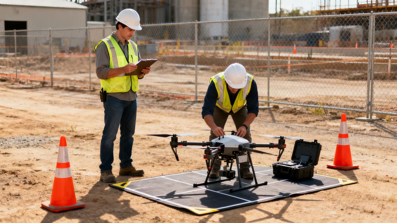
For a private parcel or active construction site, obtain permission from someone with authority to grant access. The document should identify the parcel, launch and recovery areas, dates, working hours, intended activity, client, and any restrictions on neighboring property or workers. Construction sites may also require coordination with the general contractor, safety manager, and owner.
A useful permission form distinguishes access from image rights. The owner may allow a launch without authorizing publication of every image, or may approve documentation for the project while restricting public marketing. Clarifying that distinction protects both the operator and the client.
Plan a compliant commercial drone operation
Compliance becomes manageable when it is built into the project plan rather than handled as a separate legal exercise. Start with a defined area, a defined purpose, and a defined stopping point. Then match the crew, aircraft, authorization, permissions, and deliverables to that scope.

Defining the project location, scope, and flight boundaries
A flight brief should show the site boundary, launch and recovery points, maximum intended altitude, expected routes, nearby hazards, and areas that must not be recorded. It should also say whether the output is still photography, video, inspection imagery, or general aerial data. Clear boundaries make it easier to decide whether a change is minor or requires a new review.
For recurring work, use a versioned plan. A monthly progress flight may look routine, but site conditions, cranes, temporary roads, tenants, and nearby construction can change between visits.
Managing operations near people, roads, buildings, and traffic
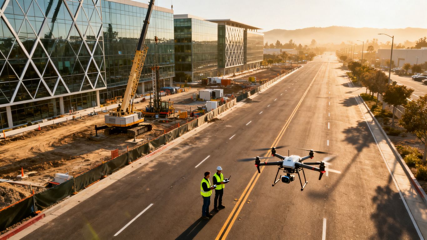
People and moving vehicles introduce risks that are not solved by flying higher or using a smaller aircraft. Establish separation, control access where possible, brief workers, and avoid placing the public beneath the operation. Roads and active traffic deserve special attention because a distraction, forced landing, or unexpected maneuver can create consequences beyond the worksite.
A short operational list helps the crew focus on the highest-risk variables:
- Confirm the launch and recovery area is controlled and clear.
- Brief workers, traffic marshals, and other nearby operators.
- Check the aircraft, batteries, control link, and required markings.
- Define the abort route and landing area before takeoff.
After the list is complete, the remote pilot should still conduct a final visual scan. Checklists support judgment; they do not replace it when conditions differ from the plan.
Addressing night flights, visual observers, and beyond-visual-line-of-sight work
Night operations, visual observers, and flights beyond the pilot’s visual line of sight each require careful evaluation under the applicable FAA rules and any needed waiver or authorization. A visual observer should have a defined role and reliable communication, not merely be present on the site. Beyond-visual-line-of-sight work should never be treated as an ordinary extension of a daytime inspection.
For long linear assets or difficult terrain, BVLOS planning guidance may help teams understand the planning issues, but it does not grant approval for a particular operation. Confirm the current regulatory path before including such work in a contract or schedule.
Creating weather, equipment, and emergency procedures
Weather limits should be specific to the aircraft, sensors, site, and planned output. Wind, rain, heat, poor visibility, and electromagnetic interference can affect both safety and data quality. The team should know when the flight will be postponed and who has authority to make that call.
Emergency procedures should cover lost link, low battery, unexpected aircraft, injury, property damage, and an unplanned landing. Record the event promptly, preserve relevant flight data, and notify the appropriate client or authority according to the project plan.
Protect privacy, safety, and property rights
A commercial drone can collect more information than the client intended, especially in a dense county with closely spaced homes, businesses, roads, and public spaces. Privacy planning is therefore part of data quality, not an afterthought. The goal is to collect useful project information while limiting unnecessary observation and disruption.
Avoiding unauthorized surveillance and unreasonable intrusion
Define the legitimate purpose of the flight and keep the camera pointed toward that purpose. Do not use a project assignment as an excuse to inspect adjacent homes, private backyards, or unrelated activity. If the planned shot requires sensitive areas, explain the need, seek appropriate permission, and consider whether a different angle or time would solve the problem.
Recurring flights deserve special scrutiny because repeated images can reveal patterns that a single project photo would not. A privacy review should consider frequency, location, camera capability, access controls, and the people likely to appear in the data.
Handling aerial images of homes, workers, and neighboring properties
Incidental images of homes or workers may be unavoidable, but the operator should minimize them where practical and avoid distributing irrelevant material. Faces, license plates, private interiors, and neighboring parcels may require masking, cropping, restricted access, or deletion depending on the assignment and applicable law.
Tell the client how the material will be reviewed before delivery. A simple process for flagging unnecessary imagery is more reliable than expecting every recipient to make the same judgment after the files circulate.
Establishing data-retention, access, and client-delivery policies
Before takeoff, agree on who may access raw files, processed imagery, reports, and backups. Specify retention periods, deletion responsibilities, delivery channels, and whether the client may share the material publicly. These terms should match the project’s contractual and regulatory obligations.
The policy should also distinguish operational records from client deliverables. Flight logs and authorization records may need to be retained even after unnecessary images are deleted, while sensitive raw footage may warrant tighter controls than a final site overview.
Managing noise, public complaints, and site disruption
Even a lawful operation can attract complaints when people do not know what the aircraft is doing. A site contact should be prepared to explain the purpose, expected duration, safety controls, and complaint channel without promising rights the project does not have. Keep operations brief, avoid unnecessary hovering, and respect reasonable requests for information.
Document complaints and the response. A pattern of concern may indicate that the schedule, launch point, aircraft choice, or communication plan should change before the next flight.
Build compliance into common commercial projects
Different project types create different compliance questions, even when the same pilot and aircraft are used. The deliverable should drive the plan: progress documentation, inspection imagery, mapping support, or visual communication each has a different boundary. Teams should avoid describing a flight as a survey or legal measurement product unless a properly licensed professional is responsible for that work.
Construction progress photography and site documentation
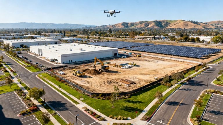
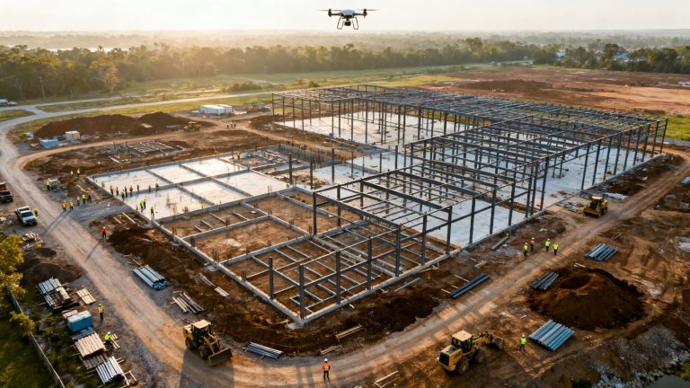
Construction flights commonly involve changing hazards, heavy equipment, workers, cranes, temporary access routes, and neighboring properties. Coordinate with the site superintendent and safety team, establish a repeatable launch point, and update the plan as the site evolves. Consistent viewpoints can make progress comparisons more useful without expanding the flight area.
For project managers working in the county, Santa Clara construction imaging describes how organized aerial information can support site overviews, progress tracking, and structural insights. The compliance file should still stand on its own, with approvals and flight records for each visit.
Real estate marketing and property inspections
Real estate work requires attention to both the property being marketed and the surrounding homes, streets, and people. Confirm the listing representative’s authority, define what may be shown publicly, and avoid implying that aerial imagery reveals conditions outside the scope of a visual inspection. Marketing permission does not erase privacy or aviation requirements.
For inspections, identify the asset and the observations needed. If the client asks for technical conclusions, clarify who is qualified to make them and whether the drone operator is supplying imagery or an engineering opinion.
Surveying, mapping, and infrastructure assessments
Drone imagery can support planning, documentation, inspections, and project analysis, but not every aerial product is a professional land survey. Establish the intended accuracy, coordinate system, ground control, processing method, and professional responsibility before promising a mapping deliverable. Where legal or survey-grade work is required, involve a licensed Professional Land Surveyor.
Infrastructure assessments also require coordination with asset owners, road authorities, utilities, and nearby operations. A flight plan should cover access, exclusion areas, traffic exposure, inspection priorities, and how defects will be documented without overstating what the imagery proves.
Agriculture, environmental monitoring, and public-sector contracts
Agricultural and environmental flights may cover broad areas, sensitive habitats, waterways, or neighboring land. Confirm access rights, seasonal restrictions, wildlife concerns, and data-handling expectations before scheduling repeated collection. Public-sector work may add procurement, insurance, background-check, reporting, and records requirements.
The Santa Clara Valley Water District drone program illustrates how a public agency may consider drone use for mapping, construction-site inspection, vegetation management, and facility imagery. That example does not authorize a private project, but it shows why the operational purpose and responsible property owner should be identified early.
Document approvals, insurance, and project records
Good records turn a one-time flight decision into a repeatable operating process. Keep the project file understandable to someone who was not at the launch site: what was planned, who approved it, what changed, and what was delivered. This is useful for client reporting as well as for responding to a complaint or incident.
Maintaining pilot certificates, registrations, and flight logs
Maintain current pilot certificate information, aircraft registrations, Remote ID details where applicable, maintenance notes, and flight logs. Each log should connect the date and location to the project, aircraft, pilot, operating conditions, and any notable deviation. Store records securely and limit access to people who need them.
For recurring clients, a master credential file can reduce duplication, but the project record should still show that the credentials were current for the relevant operation. Review the file before mobilization rather than after delivery.
Recording waivers, airspace authorizations, and property permissions
Save the exact authorization or waiver, its effective period, altitude or geographic limits, and any conditions. Add landowner permissions, county or city approvals, facility coordination, and event restrictions to the same project folder. If the flight changes, preserve the original version and document the revised decision.
A simple status table can make the review visible to both the operations team and the client:
| Record | What to confirm | Project-file evidence | Review timing |
|---|---|---|---|
| Pilot and aircraft | Certificate, registration, identification | Credential and aircraft records | Before mobilization |
| Airspace | Location, altitude, timing, restrictions | Map review and authorization | Before each flight |
| Site access | Launch, recovery, and working-area permission | Signed approval or email | Before site entry |
| Safety plan | People, traffic, weather, emergencies | Briefing and risk assessment | Before takeoff |
The table is not a replacement for the underlying documents. It is a control point that helps reveal a missing approval before the operation begins.
Reviewing liability insurance and client contract requirements
Confirm the insurance required by the client, property owner, public agency, or contract. Requirements may address general liability, aviation coverage, additional insured status, certificates, limits, and notice provisions. They can also specify who bears responsibility for access, delays, data loss, or damage.
Keep the certificate and contract terms with the project records, and make sure the named insured and coverage period match the entity performing the work. Insurance does not make an unauthorized flight acceptable, but missing coverage can create a separate contractual problem.
Responding to incidents, violations, and changing regulations
If an aircraft strikes property, loses control, encounters another aircraft, injures someone, or operates outside its authorization, stop the operation and follow the applicable reporting and preservation steps. Notify the client and relevant authorities as required, preserve flight logs and media, and avoid editing records to make the event appear cleaner than it was.
Rules, airport procedures, local policies, and site conditions change. Assign responsibility for periodic review, especially for recurring work. A compliance plan is strongest when it is updated after incidents, near misses, client feedback, and regulatory changes rather than left untouched in a template.
Plan With the Right Support
For teams that need organized aerial information for construction and engineering decisions, Aeroskape can discuss the project scope, site conditions, and documentation needs before work is scheduled.
Conclusion
Commercial drone work in Santa Clara County is safest when aviation compliance, local permission, privacy, operational planning, and project records are treated as one connected workflow. Confirm the rules for the exact site, document the approvals, and keep the flight within the scope that was reviewed.
Frequently Asked Questions
Do commercial drone pilots need Part 107 certification in Santa Clara County?
Most ordinary commercial small-drone operations are conducted under FAA Part 107, which includes requirements for the remote pilot and the operation. Some activities may follow another federal authorization, so the responsible pilot should confirm the applicable path.
Does FAA airspace authorization provide permission to launch from private property?
No. FAA authorization concerns the operation in the airspace and does not generally grant access to private land, public facilities, parks, roads, or construction sites. Separate permission may be needed from the property or land manager.
What should operators check near San Jose International Airport?
They should review current FAA airspace information, the proposed launch point and altitude, applicable authorization tools, airport-related procedures, and current operating conditions. The review should be specific to the planned flight rather than based only on distance from the airport.
Can a drone legally record neighboring homes during a commercial project?
Incidental capture may occur, but operators should minimize unnecessary observation and avoid using a project as a reason to monitor unrelated private activity. Privacy, intrusion, trespass, and image-use concerns should be evaluated for the specific assignment.
Are county parks and city parks governed by the same drone rules?
Not necessarily. County property, incorporated cities, regional agencies, and individual facilities may use different permits or restrictions. Identify the land manager and obtain current requirements before planning a launch or commercial operation.
What records should a commercial drone operator keep?
A project file should generally include pilot and aircraft records, airspace reviews and authorizations, property permissions, safety planning, flight logs, insurance information, deliverables, and any incident or complaint documentation.
Can drone imagery be used as a professional land survey?
Not automatically. The intended accuracy and legal purpose should be defined, and survey-grade or legal deliverables should be handled by a licensed Professional Land Surveyor. Drone imagery may still support planning, documentation, inspection, and project analysis within its stated scope.