Data center construction drone monitoring Santa Clara: A practical guide
Key Takeaways
Drone monitoring can give data center teams a consistent, shared view of a complicated Santa Clara construction site. The value comes from disciplined planning, compliant operations, and useful reporting—not from collecting aerial imagery in isolation.
- Tie each flight to a milestone, inspection question, or decision.
- Confirm FAA, airspace, privacy, and site-safety requirements before flying.
- Capture repeatable imagery so conditions can be compared over time.
- Share findings in the tools project teams already use.
- Treat drone data as project evidence that supports schedule, quality, and risk decisions.
Why drone monitoring matters for data center construction in Santa Clara
Data center construction combines large footprints, dense infrastructure, demanding schedules, and many parties working in parallel. Ground-level observations can miss relationships between work areas, access routes, and staging zones. A planned aerial program adds a consistent visual layer to daily project controls. For teams researching data center construction drone monitoring santa clara, the central question is how to turn that view into decisions.
Tracking progress across large and complex sites
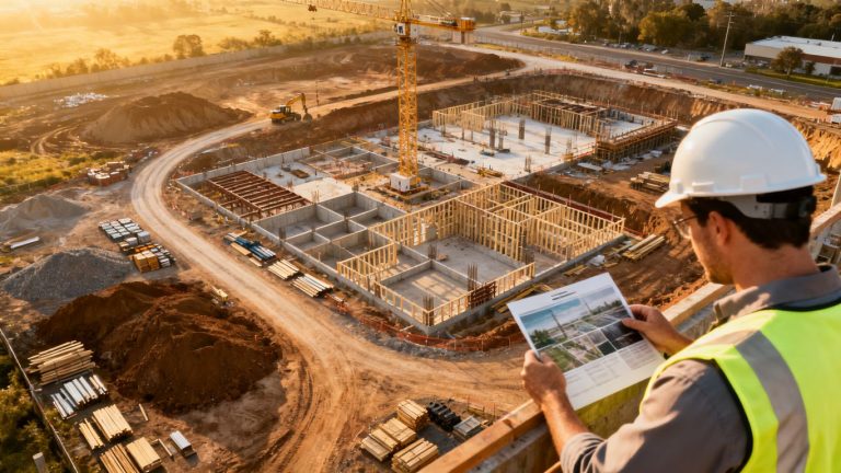
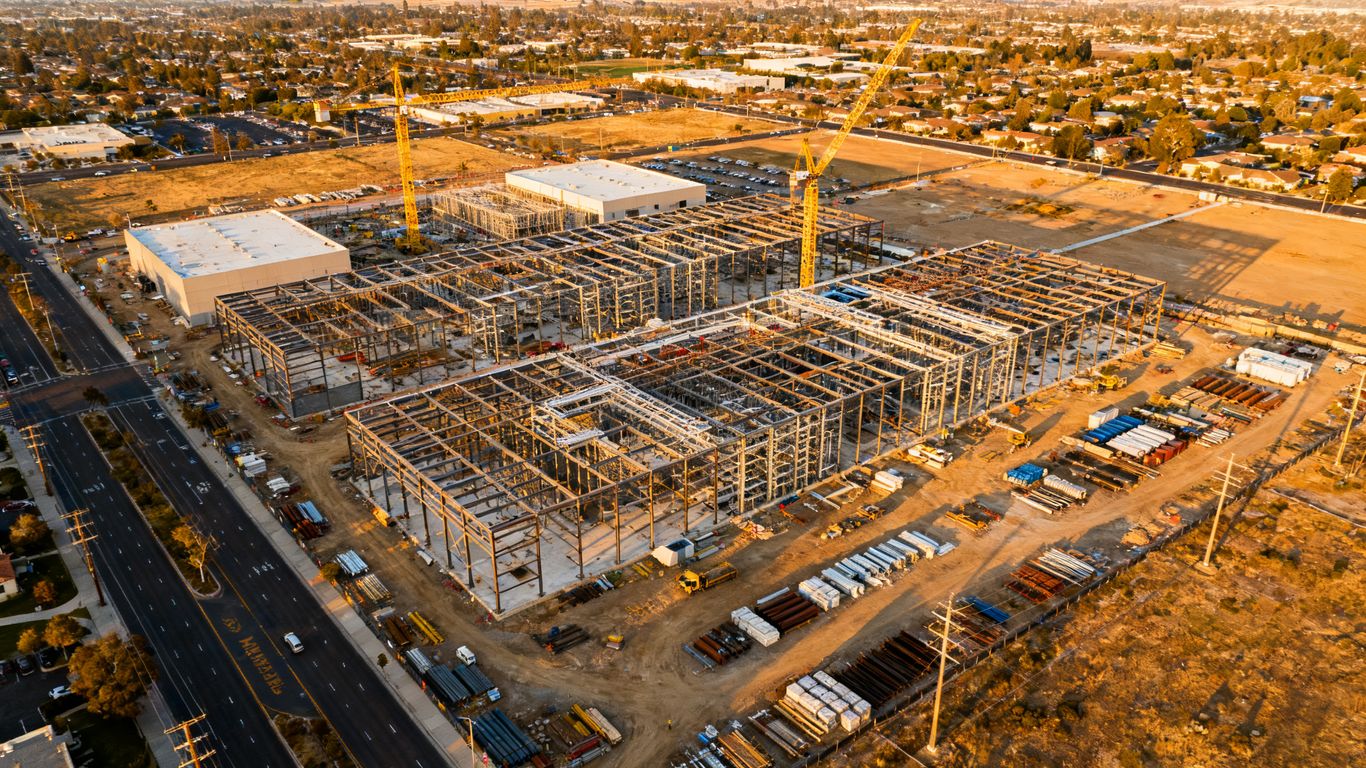
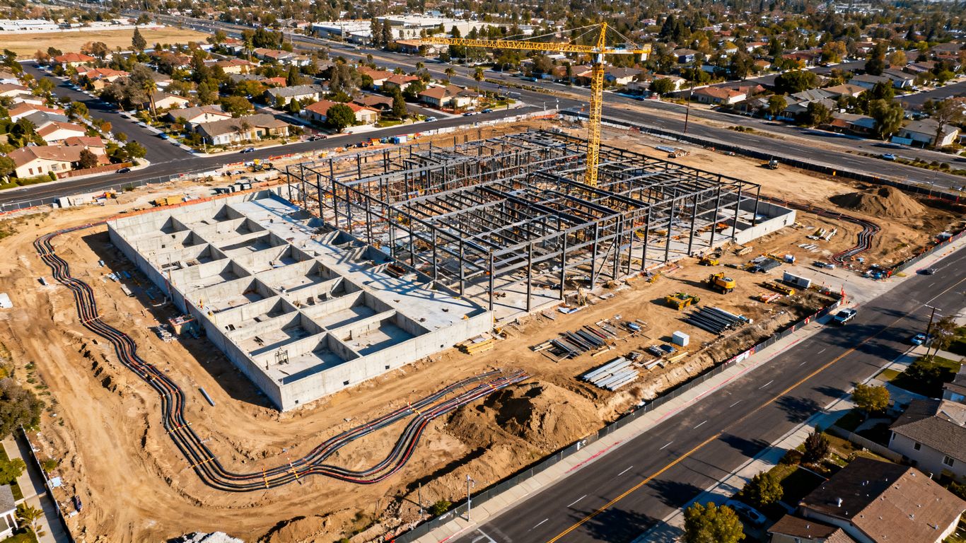
Aerial images make it easier to see the whole site at once, from grading and foundations to structural frames, utility corridors, and laydown areas. Repeated viewpoints help teams distinguish actual progress from a temporary change in materials or equipment. The record is especially useful when several buildings or work packages advance at different rates.
A useful progress capture should be tied to a date, location, and project milestone. That context allows a superintendent or project manager to compare what was expected with what is visible, then direct a closer ground inspection where needed.
Improving coordination among contractors and stakeholders
Subcontractors often work from different portions of the same site, while owners, designers, inspectors, and lenders need different levels of detail. A common aerial reference reduces the need for everyone to interpret separate descriptions of access, staging, or completed work. It can also make coordination meetings more concrete without suggesting that imagery replaces field verification.
For Santa Clara teams, Aeroskape describes aerial imaging for construction projects as a way to support real-time site overviews, progress tracking, and structural insights. Those outputs are most useful when they are delivered with clear dates, locations, and a short explanation of the decision they support.
Creating accurate visual records for dispute prevention
Construction records are stronger when they show conditions before, during, and after a critical activity. Time-stamped aerial photographs can help establish the state of a work area, material stockpile, access route, or temporary condition. They do not decide contractual responsibility on their own, but they can give project participants a shared factual reference.
The record should be handled consistently. Keep original files, note weather and flight conditions, preserve the capture date, and avoid editing that could obscure what was actually observed. A clear archive is more useful than a large collection of unlabelled images.
Supporting schedule, quality, and safety oversight
Drone observations can help teams identify visible schedule slippage, incomplete work areas, blocked routes, or conditions that deserve closer review. They are a complement to approved inspection procedures, safety plans, and professional judgment. Decision-ready context is the goal: a person should be able to understand what changed, where it changed, and who needs to respond.
Aerial monitoring should never encourage pilots or field staff to enter unsafe areas for a better photograph. Flight planning, exclusion zones, and communication with site supervision remain essential, particularly around cranes, energized infrastructure, and active equipment.
Planning a drone monitoring program
A useful program begins with project controls rather than aircraft selection. The team should decide what it needs to know, how often that knowledge must be refreshed, and who will act on the findings. A written plan also prevents flights from becoming disconnected photo sessions. In practice, the best programs are modest, repeatable, and aligned with the construction schedule.

Defining construction milestones and inspection goals
Start with the questions that matter to the project: Is grading ready for the next trade? Has a foundation area reached the planned stage? Are structural deliveries and site access keeping pace? Are envelope or utility areas ready for a closer inspection?
Convert those questions into capture points and acceptance criteria. A milestone may need a weekly overview, while a concrete placement or major delivery may justify a targeted flight. The goal is not to photograph everything; it is to capture enough consistent evidence to support a defined decision.
Choosing flight frequency and coverage areas
Flight frequency should follow the pace and risk of work. A quiet early phase may need less frequent coverage than a period with rapid structural changes, major earthwork, or tightly sequenced mechanical and electrical installation. Coverage should include active work, access and staging areas, and any locations where changes affect another contractor.
A simple planning matrix helps keep expectations realistic:
| Project need | Suggested capture focus | Review question |
|---|---|---|
| Earthwork and foundations | Site-wide map and excavation areas | Does visible progress match the current plan? |
| Structural construction | Building footprint and elevated work | Are major work fronts advancing as scheduled? |
| Infrastructure installation | Utility, equipment, and access zones | Are installation areas ready for the next activity? |
| Closeout and turnover | Exterior conditions and site completion | What remains visible before final review? |
The matrix should be adjusted to the approved schedule and site conditions. It gives the project team a shared starting point without turning a general guide into a fixed flight prescription.
Assigning responsibilities for pilots, supervisors, and project teams
A safe program separates flight responsibility from construction interpretation. The pilot or service provider manages operational planning and capture within the approved scope. Site supervision manages access, coordination, hazards, and work stoppages. The project team determines how findings enter the schedule, quality, safety, or documentation process.
Before each flight, confirm the launch area, active operations, radio or phone contact, nearby cranes, weather limits, and the person receiving the deliverables. After capture, assign an owner for reviewing findings rather than assuming that someone will notice an issue in a shared folder.
Establishing documentation and reporting standards
Agree on file naming, location references, capture dates, camera orientation, retention, and distribution before the first routine flight. Reports should separate direct observations from interpretation and should identify items requiring field confirmation. This keeps an aerial record useful to people who were not present during the flight.
A consistent report might include a site overview, milestone comparison, notable changes, open questions, and links to the underlying files. If a report is used in a meeting, record the action owner and due date so the drone workflow connects to ordinary project management.
Navigating Santa Clara drone regulations and site constraints
Santa Clara construction sites can sit near airports, dense development, utilities, and active transportation corridors. A flight that appears simple from the ground may involve airspace, privacy, or operational constraints. Compliance therefore belongs in the schedule, not as a last-minute check. The project team should confirm current requirements with the responsible pilot and relevant authorities before each operation.
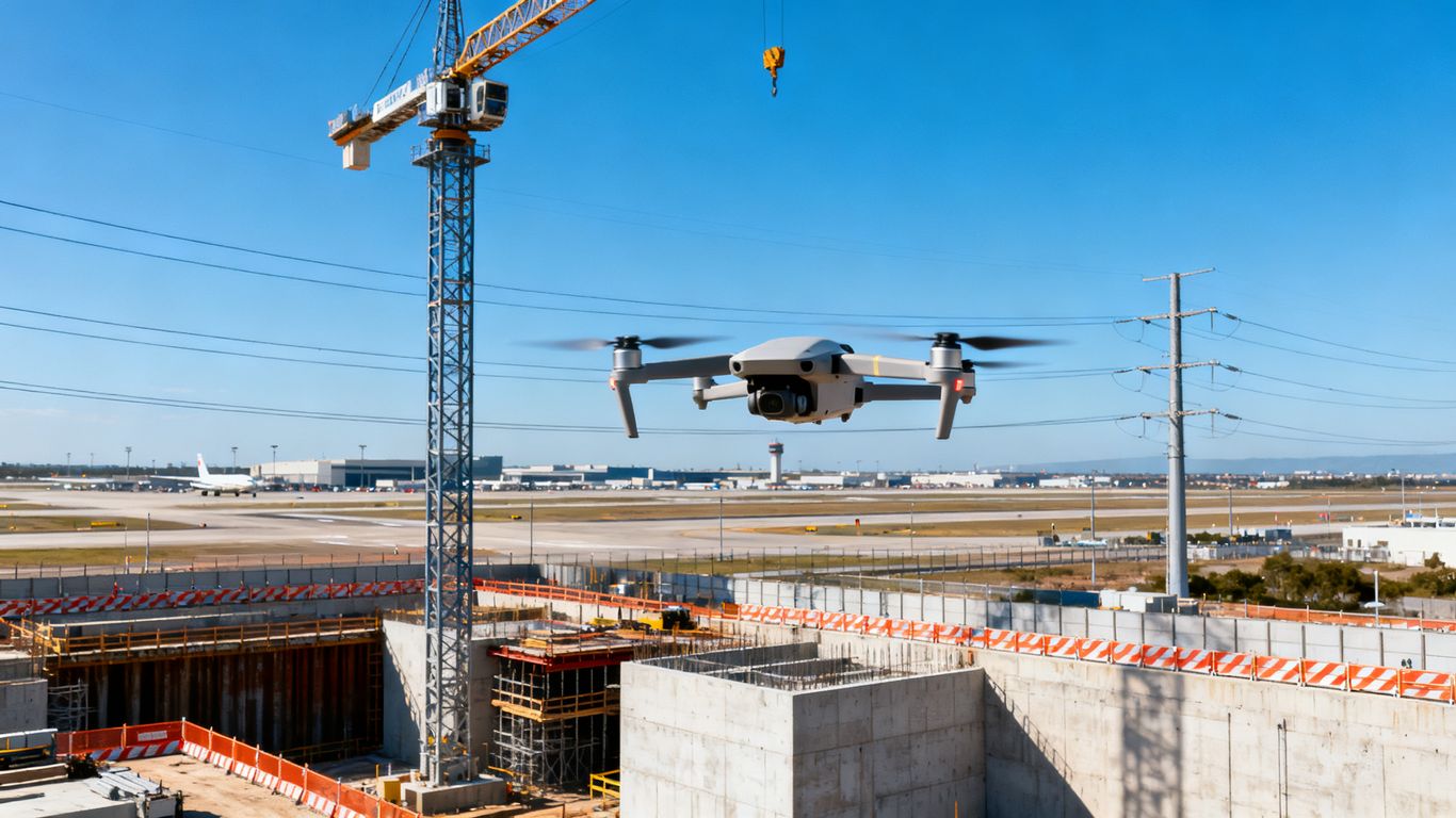
Understanding FAA requirements for commercial drone operations
Commercial drone work in the United States generally requires compliance with applicable Federal Aviation Administration rules, including pilot qualifications, aircraft requirements, operating limitations, and required authorizations. The exact path depends on the operation, aircraft, location, and conditions. A project owner should ask for confirmation of the operator’s qualifications and operating plan rather than relying on a generic checklist.
The site plan should also address daylight, visibility, people and vehicle movement, emergency procedures, and any limitations that affect the planned capture. When conditions change, the pilot should be able to pause or cancel without pressure to produce an image.
Coordinating flights near airports and restricted airspace
San Jose International Airport and other nearby aviation activity can affect operations in the Santa Clara area. Before scheduling, check the current airspace status and determine whether authorization, notification, or additional coordination is required. Build enough lead time into the construction calendar for that process.
A nearby airport is also a practical reminder to keep flight paths conservative. Define the operating area, altitude limits, communications plan, and contingency landing location. Do not assume that a previous approval automatically covers a different date, aircraft, route, or operating condition.
Addressing local permits, privacy, and neighboring properties
A flight plan should account for local site rules, neighboring parcels, workers, visitors, and any sensitive facilities visible from above. Limit capture to the project purpose, avoid unnecessary views into private areas, and communicate the program to affected site personnel. Data handling should reflect contractual confidentiality and the project’s security requirements.
Local permissions may vary by property and operation, so the responsible project and flight teams should verify them directly. Good practice is to document who approved access, what area was authorized, and how images will be stored and shared.
Managing flights around cranes, power lines, and active work zones
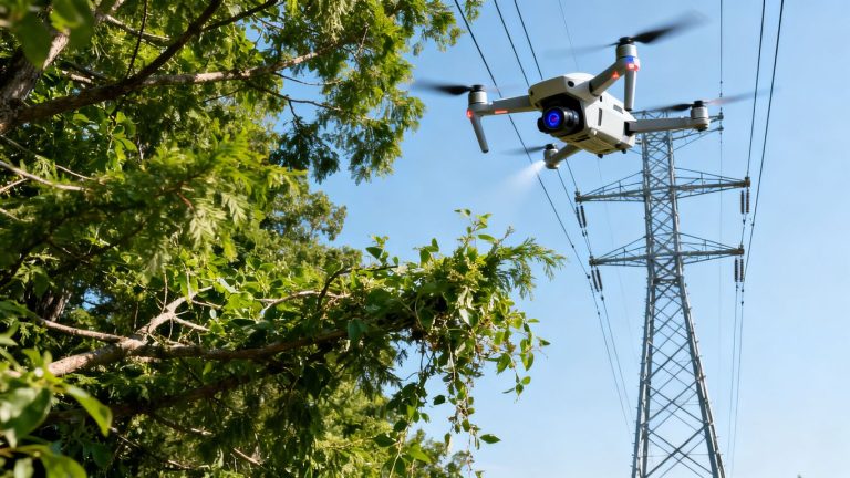
Cranes, temporary structures, power lines, dust, changing elevations, and moving equipment can make a construction site more challenging than an open field. The pilot needs a current site briefing, a defined separation plan, and a clear abort procedure. Site supervision should identify changes since the last flight, including new lifts, deliveries, and restricted areas.
The safest route is not always the shortest route to the subject. If the desired angle requires unacceptable proximity to a hazard, use a different viewpoint or defer the capture. A complete record is never worth compromising workers, equipment, or aircraft.
Building a reliable construction monitoring workflow
A monitoring workflow turns individual flights into a dependable project record. It begins with repeatable capture and ends with a finding that someone can review, assign, and close. The workflow should be simple enough to operate during busy construction periods. It should also preserve the underlying evidence when a summary report is updated.
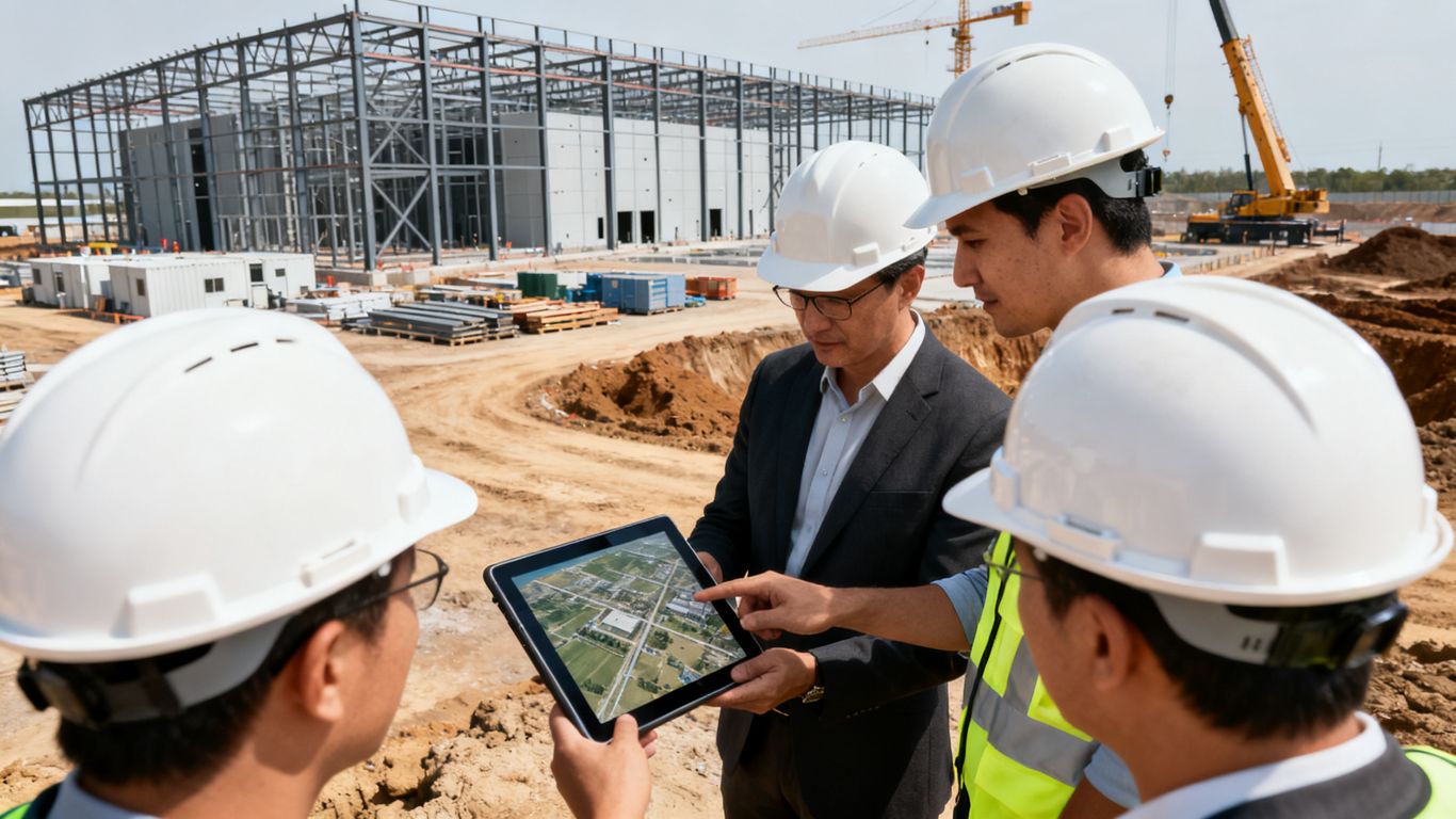
Capturing repeatable images, video, and aerial maps
Use consistent launch points, flight paths, camera directions, and naming conventions where site conditions permit. Repeatability makes change easier to see and reduces arguments caused by different angles or zoom levels. Weather, lighting, temporary obstructions, and safety limits should be recorded when they affect comparability.
Aerial maps and models can provide broader context, while selected photographs and video can explain a particular condition. Choose the format based on the question being answered and retain enough metadata to understand when and how the capture occurred.
Comparing current conditions with plans and schedules
Comparison is most useful when it is tied to a current baseline. Bring the latest approved drawings, schedule dates, area boundaries, or milestone definitions into the review process. Then distinguish visible completion from inferred progress; an exterior image may show that equipment is present without proving that installation, testing, or commissioning is complete.
The review should produce a short list of observations, not an undifferentiated gallery. Where the aerial record raises a question, route it to the trade or inspector best placed to verify the condition on the ground.
Sharing findings through project management platforms
Project teams should place reports and source files where authorized participants can find them without searching across personal devices. Aeroskape’s construction-specific drone solutions are described as supporting site monitoring, progress tracking, safety, real-time data, and integration with project management systems. That type of workflow is valuable when aerial findings are connected to existing collaboration and compliance practices rather than held in a separate archive.
Set access permissions, define the official record, and use stable references for locations and dates. A shared platform can improve coordination, but only if users know which version is current and who owns each open item.
Escalating delays, defects, and safety concerns
Not every observation deserves the same response. Establish thresholds for immediate safety escalation, schedule review, quality verification, and routine documentation. A visible obstruction may need same-day coordination, while a minor staging change may simply be logged for the next review.
A clear escalation note states the location, observation, supporting image or map, possible effect, responsible party, and requested next step. After the issue is checked in the field, update the record with the resolution rather than leaving the original concern without closure.
Using drone data to improve data center delivery
Data center delivery depends on the relationship between civil work, structures, building envelopes, utilities, and specialized systems. Drone data can help teams see those relationships and focus site attention where it is most useful. It does not replace engineering verification, testing, commissioning, or professional land surveying. Its role is to provide organized visual information for project decisions and follow-up.
Monitoring foundations, structural work, and building envelopes
Early captures can document grading, excavation, foundations, slabs, structural frames, roof areas, and exterior enclosure progress. Consistent views help project managers compare work fronts and identify areas that appear ready for the next activity. Any finding that affects dimensions, tolerances, or acceptance still requires the appropriate qualified inspection or measurement process.
The strongest record combines a site-wide view with closer images of relevant details. It also marks the capture date and location so later reviewers can understand the sequence of work.
Verifying mechanical, electrical, and cooling infrastructure
Aerial imagery can provide context for equipment yards, exterior mechanical areas, service routes, roof-mounted systems, and access around infrastructure. It may help teams see whether areas are clear, whether deliveries have arrived, or whether visible installation is progressing. It cannot by itself verify energized-system safety, equipment performance, concealed work, or commissioning results.
Cooling choices can also bring broader planning questions in Santa Clara County. For background on how water use and cooling are discussed in the region, teams can review this water planning context, then keep project-specific utility decisions with the appropriate engineers, owners, and authorities.
Supporting site logistics, staging, and material tracking
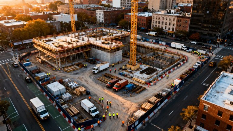
Aerial views are well suited to understanding where materials, vehicles, temporary facilities, and haul routes sit in relation to active work. Repeated captures can show whether staging is consuming an access route or whether a delivery area is ready for the next phase. They can also support conversations about housekeeping and separation between people and equipment.
For stockpiles, use a documented method and appropriate accuracy expectations. Drone-derived quantities may support planning, but contractual quantities and formal surveys should follow the project’s specified measurement requirements.
Applying 3D models and digital twins to field decisions
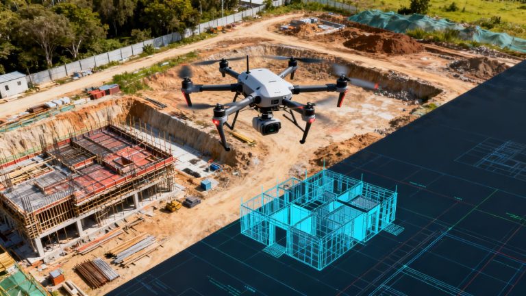
Three-dimensional outputs can help teams view terrain, structures, and site context from perspectives that are difficult to obtain on foot. When aligned with current plans and reliable control, they may support coordination, visualization, and progress review. The model’s date, source data, processing method, and known limitations should remain visible to users.
A model becomes more useful when it answers a field question: where can equipment move, which area is ready, or what changed since the previous capture? Without that question, a detailed model can become another file that teams rarely consult.
Selecting technology and service partners
Choosing a drone program is less about specifications in isolation and more about fit with the project’s risks, cadence, and reporting needs. Consider the site, the required deliverables, the team’s capacity, and the consequences of incomplete or delayed information. A partner should be able to explain how it plans safely, documents operations, and delivers usable data.
Evaluating drone hardware, sensors, and camera quality
Review image quality, field of view, flight endurance, obstacle environment, weather limitations, and the formats delivered to the project team. Different work may call for different capture approaches, but a higher specification is not automatically better if it produces files the team cannot review or store efficiently.
Ask for representative deliverables and confirm whether the proposed output meets the project’s intended use. Also clarify which conditions may reduce quality, such as glare, dust, low light, or obstructions.
Comparing in-house programs with managed services
An in-house program may offer scheduling control, while a managed service can provide pilots, planning, equipment, and repeatable delivery without requiring the project to build every capability internally. The comparison should include training, insurance, compliance administration, site coordination, data processing, and coverage during staff absences.
A managed option such as Drone-as-a-Service is described as providing on-demand drone technology and expert pilots for high-quality imagery, topographic mapping, and progress monitoring. Whether that model fits depends on flight frequency, internal resources, and the project’s expectations for response and reporting.
Reviewing data security, storage, and access controls
Before sharing site imagery, identify where files are stored, who can access them, how long they are retained, and how they are transferred. Construction imagery may reveal security-sensitive layouts, equipment, neighboring property, or proprietary work. The service agreement should address ownership, permitted use, deletion, and access changes when project roles change.
Use role-based access where practical and keep the official record in an approved system. A secure workflow should still be easy enough that field teams do not create unmanaged copies simply to move work forward.
Measuring ROI through time savings, risk reduction, and reporting accuracy
Return on investment should be measured against a baseline. Track time spent on site walks, preparation for coordination meetings, repeat visits, issue verification, stakeholder reporting, and retrieval of historical conditions. Also record whether aerial evidence helped identify a problem earlier or reduce unnecessary exposure to a hazard.
The most credible review combines direct savings with improved confidence in reporting. It should avoid promising universal percentages and instead ask whether the program helped this project make faster, safer, or better-supported decisions.
Conclusion
A successful data center construction drone monitoring santa clara program is a project-control practice built around safe flights, repeatable capture, careful interpretation, and clear ownership. Santa Clara’s airspace and site conditions demand preparation, while the scale of data center work rewards a consistent visual record. Teams interested in applying these methods can request a consultation to discuss a practical aerial data workflow for their project.
Frequently Asked Questions
What is drone monitoring used for during data center construction?
It is used to document site conditions, track visible progress, review logistics, support coordination, and create a dated visual record. It complements—not replaces—field inspections, engineering review, safety procedures, and commissioning.
How often should a construction site be flown?
The right frequency depends on the pace of work, project milestones, risk, site size, and reporting needs. A program may use routine weekly or milestone-based captures, with additional flights for significant changes or specific questions.
Can drone imagery replace a construction site inspection?
No. Aerial imagery can direct attention and provide context, but it cannot replace required inspections, testing, measurements, or professional judgment. Findings should be verified through the project’s approved processes.
What should be included in a drone monitoring report?
A report should identify the capture date, area, conditions, key observations, supporting images or maps, open questions, and assigned actions. It should also preserve access to the underlying files and distinguish observations from interpretations.
What airspace issues can affect flights in Santa Clara?
Nearby airports, controlled airspace, temporary restrictions, operating limits, and local site conditions may affect a flight. The responsible operator should check current requirements and obtain any needed authorization before operating.
How can teams protect privacy and sensitive project information?
Limit capture to the project purpose, avoid unnecessary views of neighboring property, control access, use approved storage, and define retention and deletion practices. Project agreements should clarify who may use and share the imagery.
What makes aerial data useful to a construction team?
Useful aerial data is current, repeatable, clearly located, easy to compare, and connected to an action or decision. A large volume of imagery is less valuable than a smaller, well-organized record that the team can trust and use.