Flying drones near SFO Class B airspace rules: Pilot’s Guide
Key Takeaways
Flying near SFO requires more than checking the distance to the airport. These practical points help pilots plan a lawful, safer operation.
- Class B airspace can extend well beyond the airport boundary and may have different altitude shelves.
- Drone pilots generally need FAA airspace authorization before operating in controlled airspace.
- LAANC may provide an automated approval, but the authorization still has limits and conditions.
- FAA rules, California requirements, and local park or property rules can all apply at once.
- A careful preflight review is the best way to avoid unsafe or unauthorized operations.
Understanding SFO Class B airspace
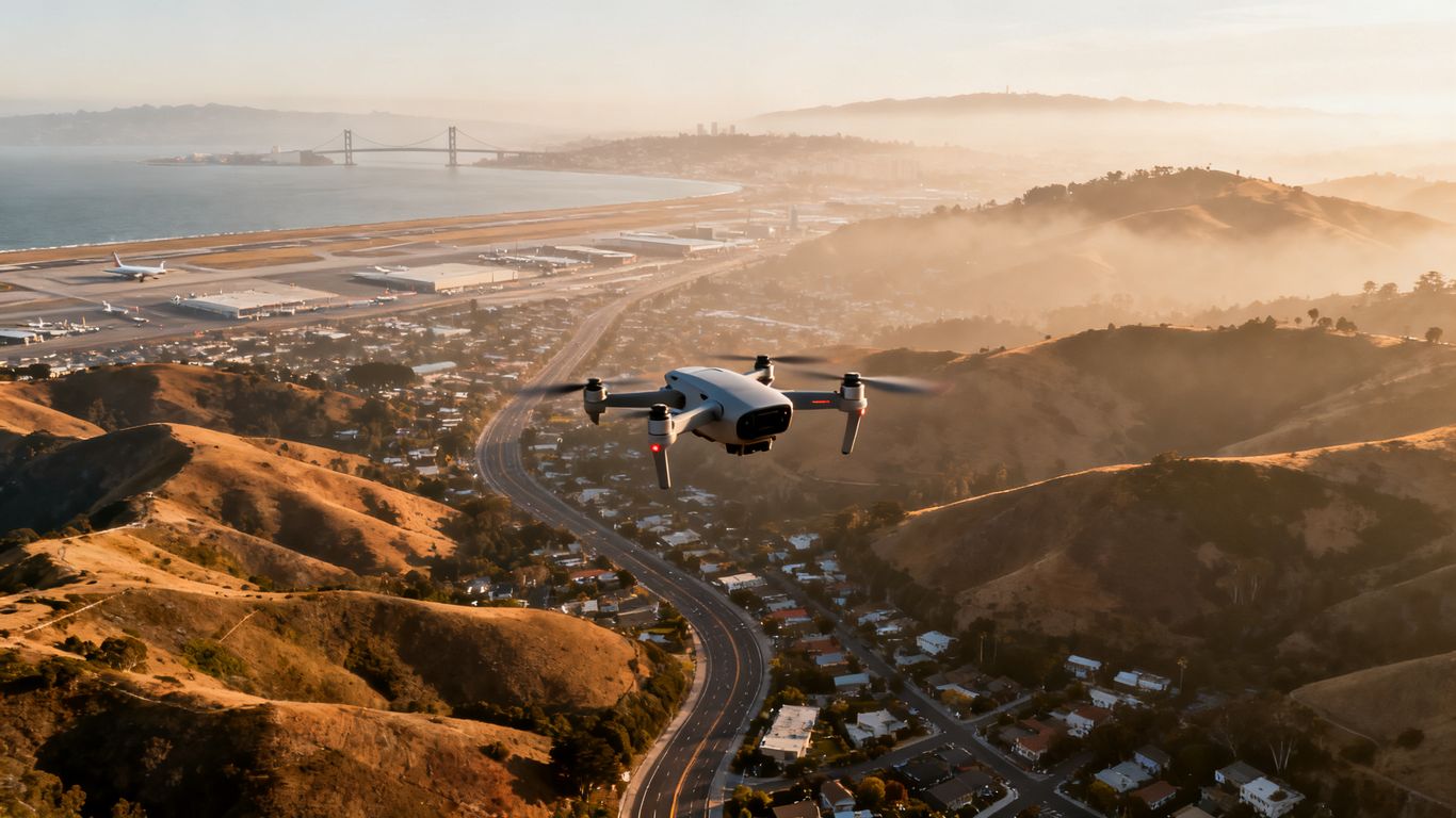
San Francisco International Airport sits inside a complex Bay Area airspace system. For pilots searching for flying drones near sfo class b airspace rules, the central question is not simply how close the launch point is to the airport, but which controlled-airspace boundary covers it and at what altitude. A flight can be legal at one location and restricted a short distance away. The FAA rules apply whether the flight is recreational, commercial, or conducted for a public agency.
What Class B airspace means for drone operations
Class B airspace is controlled airspace established around the nation’s busiest airports. A drone pilot must receive authorization before operating within the applicable controlled airspace, and that authorization can specify a maximum altitude or other operating conditions. Authorization is not a general permission to fly anywhere nearby; it applies to the location, altitude, and operation described in the request.
How San Francisco International Airport affects nearby flights
SFO’s arrival and departure traffic makes the surrounding airspace especially sensitive. Manned aircraft may be moving quickly, descending, climbing, or operating below the altitude a drone pilot expects. The FAA advises drone operators to avoid creating hazards in an airport environment and to remain responsible for seeing and avoiding aircraft.
Why distance from the airport does not determine legality
The old idea that a fixed-mile distance automatically determines whether a drone may fly is too simple for modern operations. Class B boundaries are drawn in layers, and those layers can extend over communities that are not immediately adjacent to the runway complex. A launch site several miles away may still sit under a Class B shelf, while another site farther from the airport may be outside it.
Identifying the specific Class B shelf above your launch site
Start with the exact launch coordinates, then review the chart or approved planning tool at the planned altitude. Pay attention to the floor and ceiling of each shelf, not just the broad outline of the Class B area. If the site falls within controlled airspace, treat authorization as a precondition of flight rather than something to sort out after arriving.
Checking whether your flight location is authorized
A legal flight plan begins with a precise location and a current airspace check. The same process should be used for a backyard, a shoreline, a construction site, or a public park. Do not rely on an old screenshot or a familiar location, because restrictions and notices can change between flights.
Using FAA airspace maps and approved planning tools
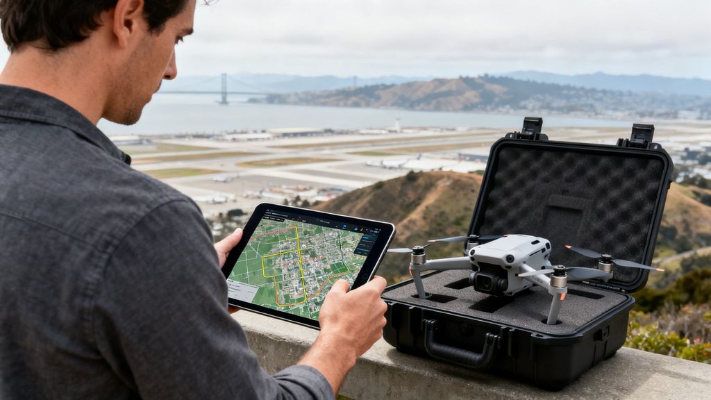
Use current FAA information and an approved or reputable planning tool to identify controlled airspace, UAS Facility Map altitudes, and temporary restrictions. The FAA’s airport flight guidance is a useful starting point for understanding why airport operations require extra care. A planning app can help with the first review, but the pilot remains responsible for confirming the information and following the authorization actually issued.
Confirming the operating altitude and boundaries
Record the proposed takeoff point, operating radius, and maximum altitude before requesting authorization. Check whether the entire flight area—not merely the launch point—remains inside the permitted boundary. A drone that drifts beyond the approved area or climbs above the approved ceiling is no longer operating within the same authorization.
A simple comparison can prevent confusion between common airspace situations:
| Airspace situation | Typical planning question | Pilot response |
| Class B or other controlled airspace | Is authorization required at this location and altitude? | Obtain approval before operating. |
| Uncontrolled airspace near an airport | Are other airport, aircraft, or temporary restrictions present? | Check current notices and fly safely. |
| UAS Facility Map grid area | What altitude may be eligible for automated approval? | Request LAANC and follow its limit. |
| Temporary restricted area | Is the proposed operation allowed during the restriction? | Delay, relocate, or obtain the required permission. |
The table is a planning aid, not a substitute for current FAA information. If the map, LAANC result, and local information do not agree, pause the operation until the conflict is resolved.
Checking for temporary flight restrictions and special notices
Before takeoff, check for TFRs, wildfire restrictions, stadium-related restrictions, emergency activity, and other current notices. Conditions can change during the day, especially when fires, major events, or emergency responses affect the Bay Area. A flight that was authorized earlier may still need to stop if a new safety restriction becomes active.
Distinguishing FAA airspace rules from local park restrictions
FAA authorization addresses navigable airspace; it does not automatically grant permission to launch or land from a city park. San Francisco, county agencies, property owners, and park departments may impose separate restrictions. The San Francisco drone laws guide offers a useful reminder to check federal, state, local, property, and park requirements separately.
Getting FAA authorization through LAANC
LAANC, the Low Altitude Authorization and Notification Capability, allows eligible drone pilots to request airspace authorization through participating service providers. It can make the process quick, but speed does not make the approval unlimited. The pilot still has to enter accurate information and operate within every condition attached to the approval.
When drone pilots need airspace authorization
Drone pilots need prior FAA airspace authorization for operations in controlled airspace covered by the authorization system. This applies to both recreational flyers and Part 107 operators. Being below 400 feet does not by itself remove the requirement when the operation is inside controlled airspace.
How to request a LAANC approval
Select the correct operating area in a LAANC-enabled app, enter the date, time, location, and planned altitude, and review the resulting terms before accepting. The request should reflect the whole operation, including the area where the aircraft may maneuver. Save the approval or confirmation where it can be retrieved during the flight.
Understanding automated approvals and further coordination
Automated approval may be available when the requested altitude and location fit the applicable UAS Facility Map parameters. Some requests require further coordination rather than an instant response, and areas outside LAANC coverage may require a request through FAA systems such as FAADroneZone. An approval is not a waiver of other Part 107 or recreational-flyer requirements.
What to do when LAANC does not authorize the proposed flight
Do not launch because the requested operation seems low risk or because another pilot has flown there. Recheck the coordinates, altitude, date, and operating area for errors. If the flight remains unauthorized, relocate, reduce the scope only if a new request supports it, or pursue the appropriate FAA coordination process.
Comparing recreational and Part 107 requirements
The purpose of a flight affects which operating framework applies, but it does not change the basic need for safe and lawful airspace use. Recreational flyers operate under the FAA’s recreational flyer provisions, while business, paid, and many organizational operations generally use Part 107. Government operations can have additional rules or permissions depending on the agency and mission.
Rules that apply to recreational flyers
Recreational pilots must follow the exception for limited recreational operations and all applicable safety requirements. They must keep the aircraft within visual line of sight unless an allowed alternative applies, give way to aircraft, and comply with airspace restrictions. A recreational purpose does not create an exception to Class B authorization requirements.
Requirements for commercial and government operations
Commercial operators commonly fly under Part 107, which requires a certificated remote pilot and compliance with the operating rules unless a waiver or other authority applies. Government operators should confirm whether their mission is conducted under Part 107, as a public aircraft operation, or another approved framework. Regardless of the framework, the operation must be planned around current airspace and safety conditions.
The role of TRUST, a remote pilot certificate, and aircraft registration
Recreational flyers must complete TRUST and carry proof of completion when required. Part 107 operators need the appropriate remote pilot certificate, and drone registration requirements may apply to the aircraft. Remote ID requirements may also apply, depending on the aircraft and the operation. These credentials support a lawful flight, but none of them substitutes for Class B authorization.
Why an approved purpose does not remove airspace limits
A paid assignment, a public-safety mission, or a personal hobby flight can all be subject to controlled-airspace limits. The FAA evaluates the operation in relation to the airspace and safety conditions, not simply the pilot’s reason for flying. For project work, resources such as aerial photography services can help explain the value of overhead imagery, but any operator still needs to meet the applicable FAA and local requirements.
Following safety rules near SFO
Authorization is only one part of a safe airport-area operation. The pilot must also manage visibility, aircraft traffic, altitude, equipment compliance, and changing conditions. Near SFO, conservative decisions are usually better than trying to make a marginal flight work.
Maintaining visual line of sight and safe separation
Keep the aircraft within unaided visual line of sight unless the applicable rules and authorization allow another arrangement. Do not rely solely on a screen or automated flight behavior. Maintain enough separation from people, buildings, vehicles, and other hazards to respond if the aircraft loses signal, encounters wind, or needs to land unexpectedly.
Avoiding runways, approach paths, and aircraft activity
Never assume that an empty-looking sky is free of aircraft. Approach and departure paths can be active even when no aircraft is visible at the moment of launch. If a helicopter, airplane, or other aircraft appears, give way immediately and land or move to a safe position as needed.
Complying with altitude limits and Remote ID requirements
Stay below the authorized altitude and monitor the aircraft’s actual height rather than relying on an imprecise visual estimate. Confirm whether Remote ID applies to the aircraft and operation, and make sure the aircraft is configured accordingly before departure. Registration, Remote ID, and airspace approval address different obligations; satisfying one does not satisfy the others.
Responding safely to helicopters, emergency aircraft, and changing conditions
Emergency aircraft deserve immediate priority, even if the drone flight was planned and authorized. Land promptly when fire response, medical helicopters, police aircraft, or other unexpected activity approaches. California’s drone law overview also illustrates why wildfire and emergency-response restrictions deserve a fresh check before every flight.
Reviewing Bay Area and San Francisco restrictions
Federal authorization is only one layer of the legal analysis. A pilot may have permission to occupy the airspace but still lack permission to take off from a park, private parcel, or managed public facility. San Francisco-area operations require attention to the launch site as well as the sky above it.
San Francisco park and recreation department rules
City parks and recreation properties may limit or prohibit drone launching, landing, or operation without permission. Rules can differ among properties, so do not assume that a permit for one park applies to another. Contact the managing department when the location is unclear and keep written confirmation when permission is granted.
Restrictions on launching or landing from public property
A local authority may regulate the use of its land even when the FAA controls the airspace. A pilot could therefore have a valid LAANC approval and still violate a park rule by unpacking the aircraft or landing there. Identify an approved launch and recovery point before submitting the airspace request.
State, county, and municipal rules that may apply
California privacy, trespass, emergency-response, wildlife, and public-safety rules may affect a flight. County and municipal ordinances can add limits concerning parks, roads, events, or public facilities. The San Francisco flight restrictions guide is another general reference for checking local requirements, but current agency information should control your final decision.
How private-property permission differs from airspace authorization
A property owner can permit you to stand on a parcel and launch from it, but that permission does not authorize entry into controlled airspace. Conversely, FAA authorization does not give a pilot permission to enter private property. Obtain both forms of permission when both are needed, and respect privacy and overflight restrictions throughout the operation.
Planning a legal drone flight near SFO
A good plan is specific enough that another person could understand what will happen without guessing. Define the launch point, flight area, altitude, time window, pilot, visual observer if used, and recovery plan. Professional operators may also use drone mapping services for project work, but mapping or imaging goals never replace the legal preflight review.
A preflight checklist for pilots
Use a short checklist that covers both paperwork and physical conditions. The following sequence catches many avoidable errors:
- Confirm the exact launch and recovery location.
- Check current airspace status, TFRs, and LAANC availability.
- Verify aircraft registration, Remote ID, battery condition, and required credentials.
- Review the authorization’s altitude, time, geographic, and operational limits.
- Brief everyone involved on aircraft traffic, emergency procedures, and landing triggers.
After completing the checklist, compare the planned operation with the conditions on the ground. If wind, visibility, aircraft activity, or the launch site differs from the plan, revise the operation or postpone it.
Documenting authorization and operating limitations
Keep the LAANC approval, waiver or coordination record, pilot credentials, registration information, and site permissions accessible. Note the approved ceiling and operating area in the flight plan rather than trusting memory. Documentation also helps explain a conservative decision to stop when conditions change.
Choosing safer alternatives outside controlled airspace
Relocating may be the simplest legal solution when authorization is unavailable or the proposed altitude is too restrictive. A site outside controlled airspace can still have local, privacy, wildlife, or temporary restrictions, so it must be checked independently. The safest alternative is one where the launch site, airspace, weather, and aircraft activity all support the intended operation.
Understanding potential penalties for unauthorized operations
Unauthorized or unsafe flights can lead to enforcement action, civil penalties, certificate consequences, or other legal exposure. Interfering with emergency aircraft can create especially serious consequences and put lives at risk. Treat an inability to obtain authorization as a firm stop signal, not as an invitation to take a chance.
Conclusion
Flying near SFO can be manageable when the pilot treats airspace authorization, local land rules, and aircraft safety as separate questions that must all be answered. Check the exact Class B shelf, request the appropriate approval, document the limits, and be ready to postpone when conditions change.
Frequently Asked Questions
Do I need FAA authorization to fly a drone near SFO?
If the proposed operation is in controlled airspace, you generally need prior FAA airspace authorization. Check the exact location and altitude rather than relying on distance from the airport.
Is flying under 400 feet automatically allowed near SFO?
No. The 400-foot operating limit does not override controlled-airspace authorization requirements, temporary restrictions, local rules, or the duty to avoid aircraft.
Can recreational pilots use LAANC?
Yes. Eligible recreational flyers can request airspace authorization through LAANC, provided they follow the terms of the approval and all other applicable rules.
What if LAANC rejects my request?
Do not launch under the rejected request. Check the information for errors, consider a different time or location, or use the appropriate FAA coordination process when available.
Can I launch from a San Francisco park with FAA approval?
Not necessarily. FAA approval concerns the airspace, while a park or recreation department may separately control launching, landing, or drone use on its property.
Does private-property permission authorize the flight?
No. Permission to use private land does not authorize the airspace operation, and FAA authorization does not grant access to private property.
What should I do if a helicopter approaches during my flight?
Give way immediately and land or move to a safe position as conditions require. Emergency and manned aircraft always take priority over the drone operation.