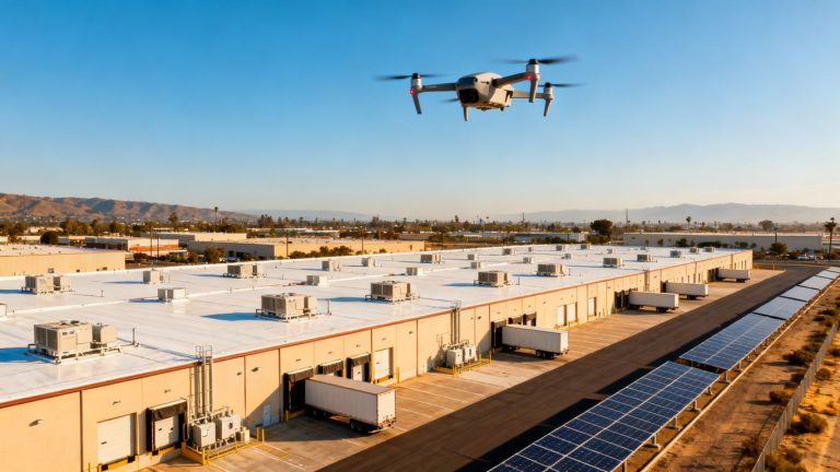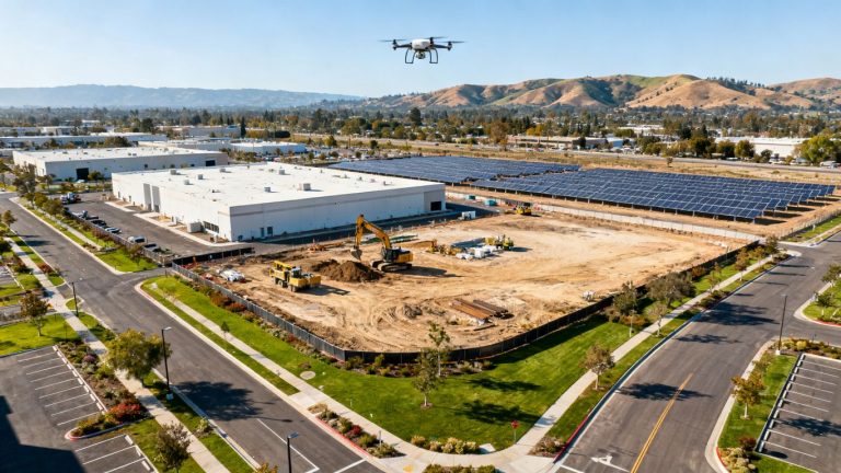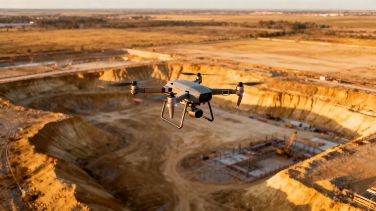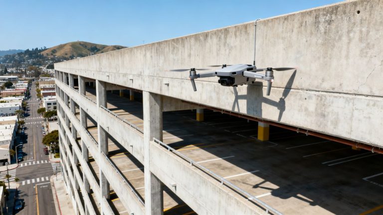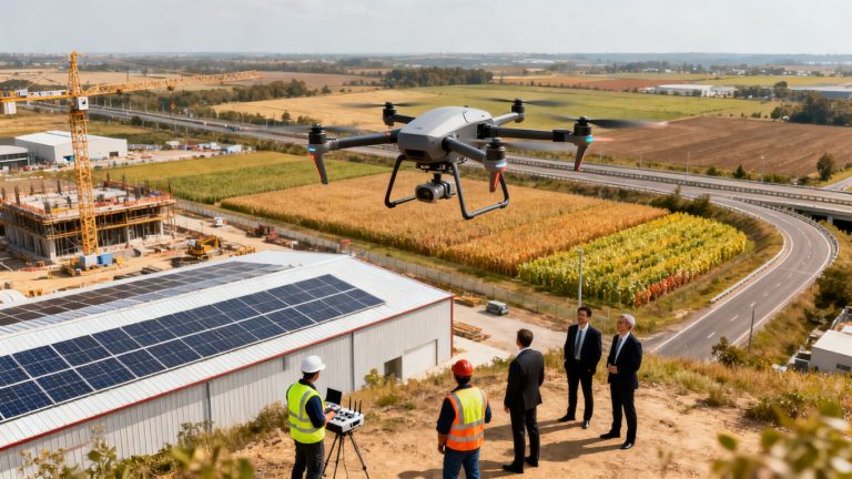
Drone site logistics planning for urban construction: A practical guide to safer, faster projects
Key Takeaways
Urban construction sites change quickly, and logistics plans can become outdated before the next delivery arrives. Drone data helps teams see current conditions, test practical options, and coordinate decisions without relying on scattered observations.
- Use aerial data to understand access, staging, storage, and changing site constraints.
- Define measurable logistics goals before choosing flight schedules or sensors.
- Validate drone outputs against ground conditions and field knowledge.
- Build safety, privacy, FAA compliance, and data handling into the operating plan.
- Connect repeatable aerial updates to daily coordination, reporting, and improvement.
Define the role of drones in urban construction logistics
Drone site logistics planning for urban construction begins with a clear question: which decisions are difficult because the team cannot see the whole site at once? Aerial information is most useful when it supports a specific operational choice, such as changing a delivery window or relocating a staging area. It should complement field knowledge, not replace the people responsible for the work. Aeroskape describes its construction offering as organized, visual, decision-ready data for project teams.
Identify site-planning challenges drones can solve
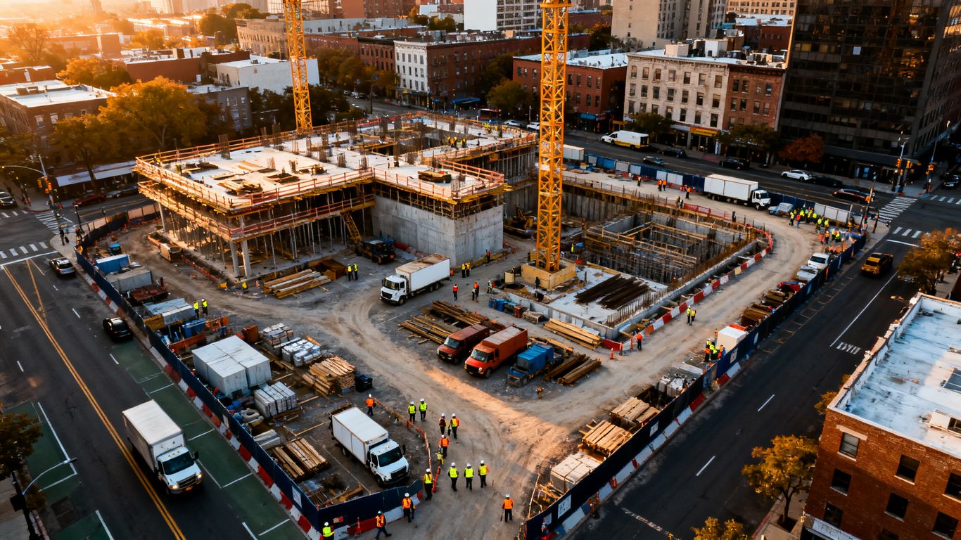
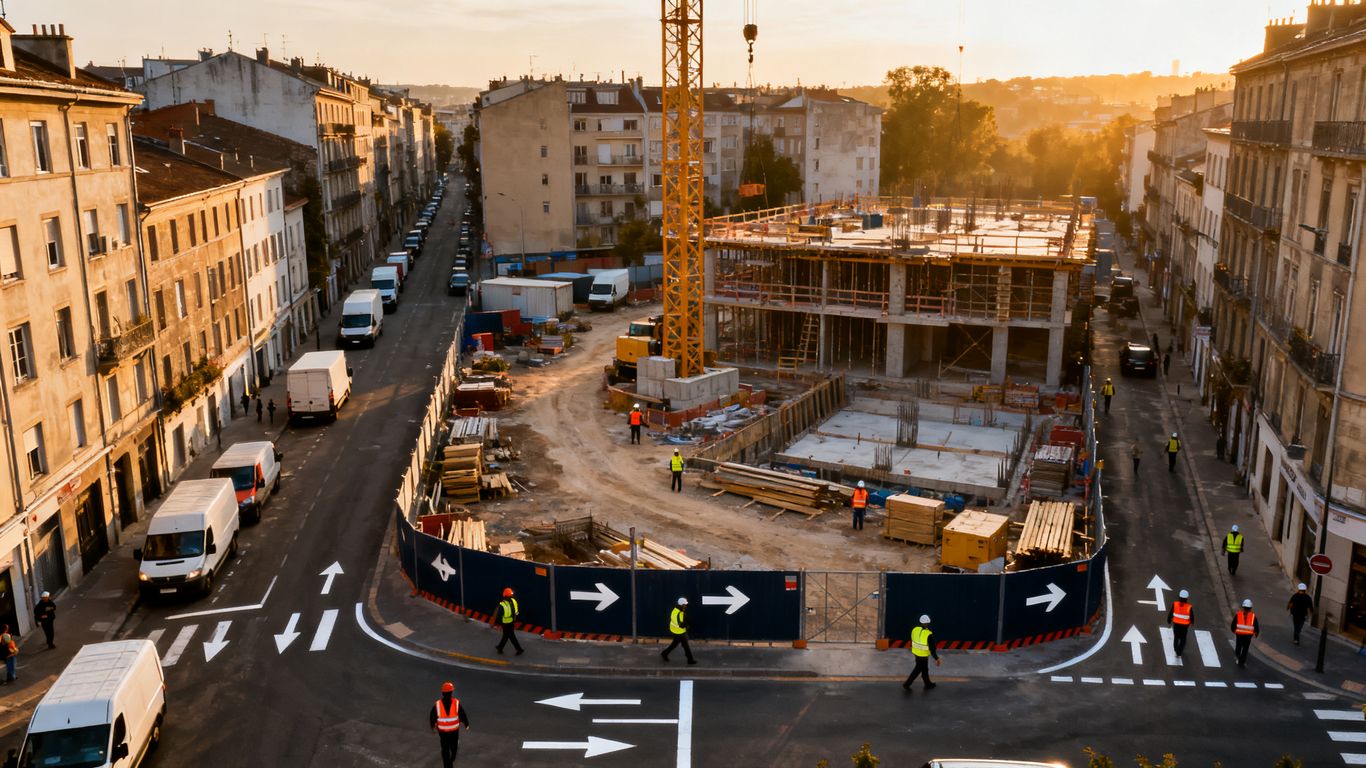
Urban sites compress many activities into a small footprint. A truck may need to approach from one direction, unload beside an active work zone, and leave without blocking pedestrians or emergency access. Ground-level observations can miss conflicts between routes, temporary structures, neighboring buildings, and overhead work. A current aerial view gives planners a shared starting point for discussing those constraints.
The useful output is not simply a collection of photographs. It is a current picture that can be compared with the logistics drawing, schedule, and safety plan. That comparison can reveal an access route that no longer works, a storage area that has been consumed by another phase, or a movement pattern that creates unnecessary crossing points.
Choose logistics tasks suited to aerial data
Aerial data works best for conditions that are spatial, visible, and likely to change. It can support site overviews, progress documentation, material-area checks, and discussions about temporary works. It is less suitable as the sole basis for decisions that require hidden utility information, legal boundary determinations, or close inspection of a concealed condition.
For example, a construction team can use aerial data capture for contractors to create a common visual reference for planning and progress tracking. That reference becomes more useful when each flight has a stated purpose and the deliverable is named in advance. If the question is vague, the resulting imagery will usually be difficult to apply.
Set planning goals and key performance indicators
Start with a baseline before the first routine survey. Measure delivery lateness, truck waiting time, equipment idle time, route conflicts, material moves, or the number of unresolved access issues. Then decide which of those measures the drone workflow is expected to inform. Clear measures make better decisions because the team can judge whether new information actually changes site performance.
A practical target might be fewer delivery exceptions rather than a general promise to “improve efficiency.” Other useful measures include time from issue discovery to resolution, the frequency of logistics-plan updates, and the percentage of planned survey dates completed. The goal is to connect the aerial record to an operational result.
Establish who owns drone operations and decisions
Assign responsibility before flights begin. One person should coordinate the flight plan and permissions, while named project participants decide how the information affects deliveries, work zones, or sequencing. The pilot, superintendent, logistics manager, and project manager may have different responsibilities, and those boundaries should be written down.
A simple decision path prevents the data from becoming an attractive but unused archive. It should identify who reviews each deliverable, who can request a repeat flight, who records a change to the logistics plan, and who communicates the change to trade partners.
Capture the site data needed for reliable planning
Reliable planning depends on reliable inputs. A flight that produces a beautiful overview may still omit the angle, timing, or ground reference needed to answer a logistics question. Before collecting data, define the area, required level of detail, delivery format, and decision deadline. The aim is a repeatable information process rather than occasional aerial photography.
Map access routes, staging areas, and constraints
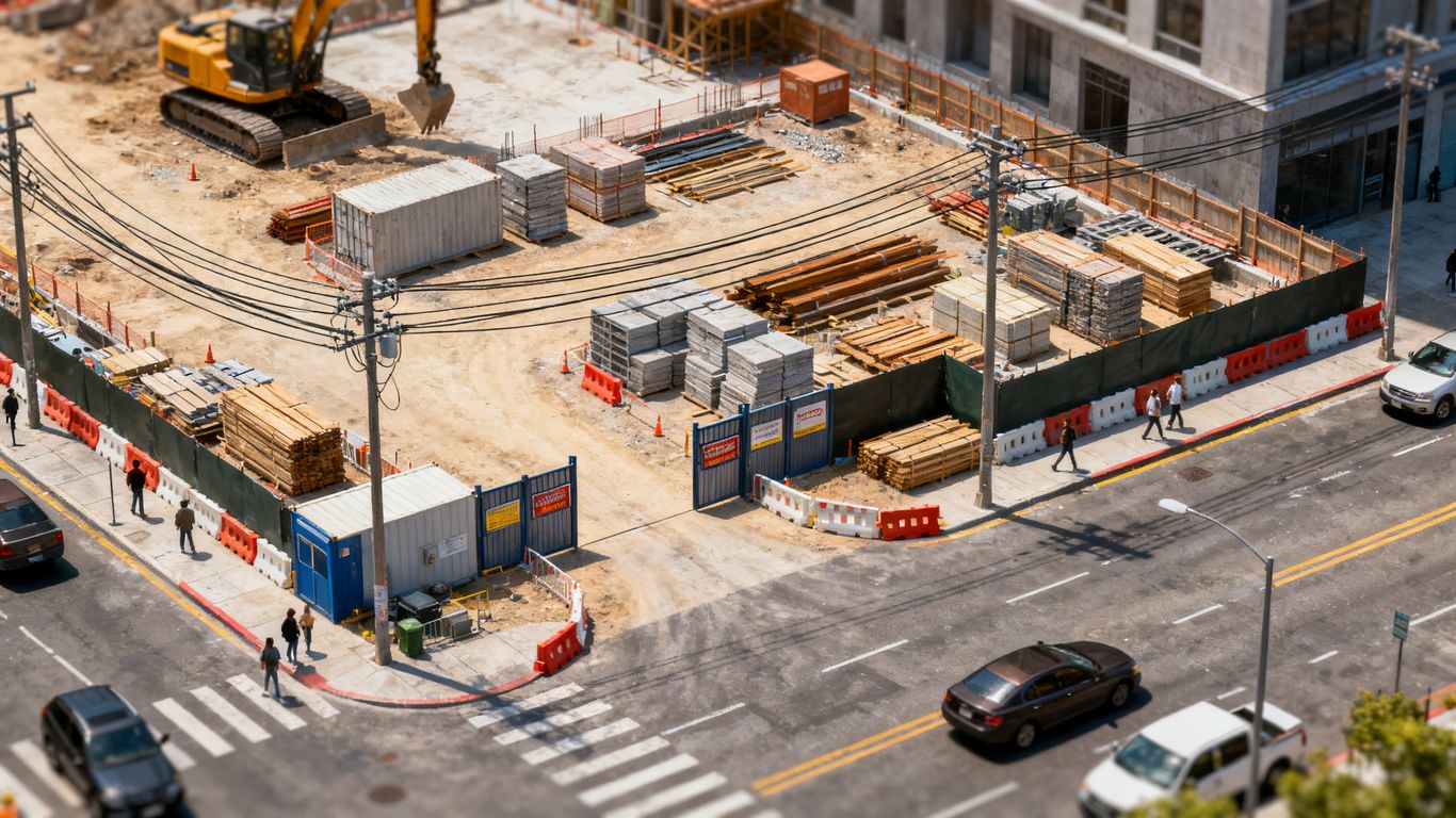
Begin with the movement system around the site, not only the site boundary. Document approach roads, turning areas, curb conditions, gates, pedestrian paths, neighboring properties, overhead obstructions, temporary fencing, crane locations, and unloading points. Mark constraints that may not be obvious from a plan drawing, including blocked lanes, narrow clearances, and areas where vehicles cannot safely wait.
The resulting map should be readable by someone who was not present during the flight. Use consistent names for gates, zones, and routes, and record the date so planners know which conditions are current. For stockpiles or earthwork areas, a dedicated stockpile volume workflow may provide a more useful decision point than a general site panorama.
Select drones, sensors, and flight frequencies
Choose the collection method based on the planning question. Standard imagery may be sufficient for access and staging discussions, while a project may require a different sensor or processing approach for terrain, elevation, or inspection needs. The selection should also account for weather, site size, airspace, battery planning, and the time available to process and review the data.
Flight frequency should follow the rate of change. A rapidly changing excavation or delivery yard may need more frequent updates than a stable perimeter. Avoid collecting data merely because a recurring calendar slot exists; each flight should have a reason and a defined recipient.
Plan repeatable surveys for progress tracking
Repeatability matters more than novelty when the goal is comparison. Establish consistent flight boundaries, camera viewpoints, ground references, naming conventions, and delivery dates. Keep a record of weather and unusual site activity so a later reviewer can distinguish a genuine change from a visibility difference.
A repeatable survey can support weekly coordination, milestone reviews, and documentation of conditions before a major phase begins. It also creates a useful record when a team needs to explain why a route, storage zone, or work area changed.
Validate aerial data against ground conditions
Every deliverable needs a field check. Ask a superintendent or foreperson to confirm whether visible routes are passable, whether a marked staging area is actually available, and whether temporary conditions changed after the flight. This step catches differences caused by timing, occlusion, image interpretation, or site activity between collection and review.
Treat discrepancies as useful feedback about the process. If a recurring feature is repeatedly misread, revise the annotation standard or add a ground reference. Aerial information becomes dependable when field teams trust its limits as well as its strengths.
Design an efficient site logistics plan
The logistics plan should turn site information into movements, priorities, and controls. It needs to show how vehicles arrive, where materials wait, how workers and equipment cross the site, and what changes when a phase ends. Aerial data can make those relationships easier to see, but the plan still has to work for people operating under real time and space constraints.
Optimize delivery routes and vehicle movements
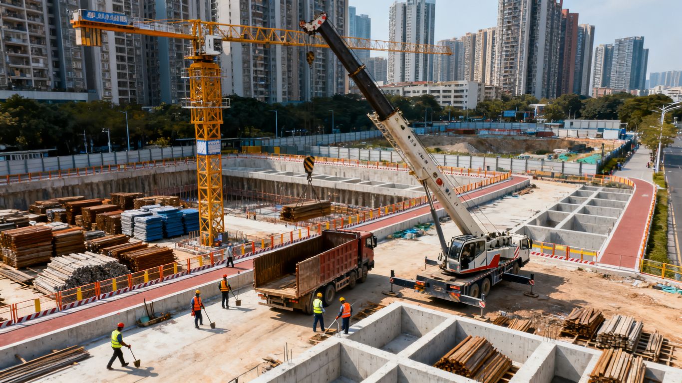
Map each delivery from arrival to departure rather than focusing only on the gate. Consider queueing, turning radii, unloading duration, spotter positions, pedestrian separation, and the route required to leave. Then compare that movement with neighboring traffic and other scheduled deliveries. A route that looks efficient on a plan may fail when two large vehicles need the same space.
Use aerial updates to identify temporary obstructions and revise instructions before a driver arrives. The plan should state who confirms the route, where a vehicle waits if the unloading area is occupied, and how an exception is communicated. This is where a visual record can support a practical conversation instead of a last-minute radio call.
Position cranes, hoists, storage, and unloading zones
Temporary facilities compete for the same scarce space. Place storage where materials can be accessed without repeated handling, while keeping fire routes, pedestrian paths, and equipment clear. Consider the full sequence from delivery to installation, not only where a truck can stop.
An aerial map can help the team test several arrangements against the current site footprint. It can also expose how a storage zone affects turning movements or sightlines. Any proposed arrangement should be reviewed by the responsible site and safety personnel before it is implemented.
Coordinate workers, equipment, and material flows
A good logistics plan separates flows where possible and makes unavoidable crossings deliberate. Identify when workers, forklifts, trucks, cranes, and deliveries share a zone. Then align work windows so the busiest movements do not compete unnecessarily.
A compact coordination routine can keep the plan active:
- Review the latest aerial condition before the daily logistics meeting.
- Confirm delivery windows against current access and unloading space.
- Record conflicts, owners, and resolution dates in one shared log.
- Update field instructions when a route or zone changes.
This sequence is intentionally simple. Its value comes from repeating it consistently and connecting each observation to an assigned action. Without that last step, the team may see a conflict clearly and still leave it unresolved.
Account for changing site phases and urban conditions
A site logistics plan is a living document. Excavation, structure, enclosure, utility work, and finishing activities each alter available space and movement patterns. Urban conditions add another layer: street closures, transit activity, neighboring construction, special events, and delivery-hour restrictions can change the workable plan without notice.
Set phase-change triggers that require a new review. A major crane move, gate relocation, public-sidewalk change, or shift in delivery volume should prompt the team to compare the current site condition with the approved plan. That habit is more dependable than waiting for a visible failure.
Manage safety, privacy, and regulatory requirements
Aerial collection is part of the project risk picture, not an activity outside it. The flight plan should account for people, buildings, vehicles, wires, weather, airspace, and the consequences of an unexpected event. It should also explain how imagery will be stored, shared, and removed when it no longer serves a project purpose.
Build risk assessments into every flight plan
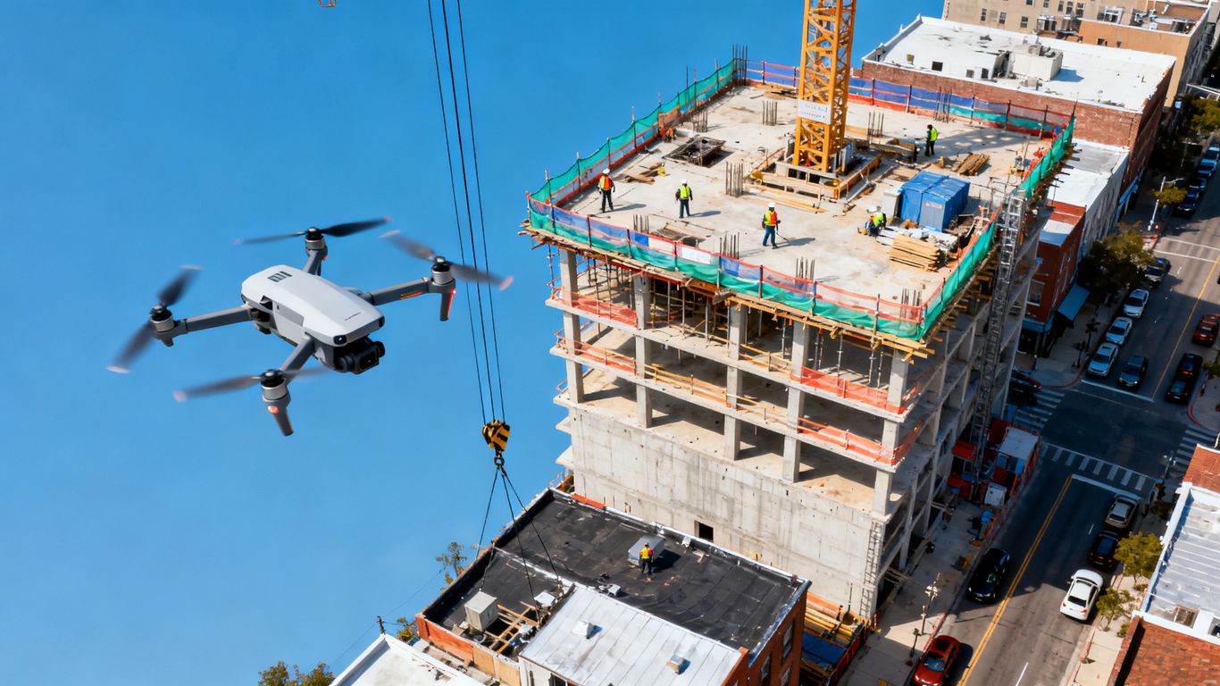
Use a written risk assessment for each location and operating period. Review launch and recovery areas, obstructions, emergency procedures, weather limits, battery condition, communication methods, and the presence of workers or the public. Conditions should be checked again immediately before flight because a previously clear area may become active.
The risk assessment should identify stop criteria. Examples include unexpected pedestrian activity, deteriorating weather, loss of visual contact, an unplanned vehicle movement, or a change in the approved operating area. A clear stop decision is a strength of the process, not a sign that the plan failed.
Maintain separation from people, buildings, and traffic
Urban sites leave little room for error. Establish a controlled operating area and coordinate with the site team before launch. Keep people away from the flight and recovery zones, maintain appropriate separation from structures and traffic, and avoid treating a quiet moment as permanent clearance.
Use a spotter or additional site control when the operating environment requires it. The pilot should have a reliable way to stop or land safely, while the superintendent knows when the flight is active. These details reduce the chance that ordinary site movement will create an unexpected conflict.
Follow FAA rules and local operating restrictions
Confirm the applicable FAA requirements and any local, site, property, or event restrictions before scheduling the flight. The responsible operator should verify authorization, pilot qualifications, operating limitations, and required records. A construction schedule does not override aviation rules or local controls.
Document the approval path so a project reviewer can understand why the operation was allowed. If the flight requires coordination with an airport, property owner, public agency, or neighboring site, include that coordination in the schedule rather than treating it as an informal last step.
Protect imagery, personal data, and project information
Aerial imagery can include workers, neighboring properties, vehicle details, security arrangements, and sensitive construction information. Limit collection to what the project needs, use access controls, and agree on who may download or distribute the files. Retention periods should be defined before the archive grows.
Where people or private property are visible, apply the project’s privacy and data-handling policies. Share derived information at the level needed for the decision, rather than distributing every original file to every participant. Good information control protects both the project and the people captured in it.
Integrate drone insights with construction workflows
Drone information becomes valuable when it arrives where project decisions already happen. The team should not have to search through unrelated folders or wait for a special meeting to understand a changed condition. Define the handoff from capture to processing, review, action, and recordkeeping. This makes aerial work part of construction management rather than a parallel activity.
Connect drone maps with BIM and digital twins
A current map or model can help teams compare planned and observed conditions, provided the coordinate system, date, accuracy, and intended use are clear. Establish which model or drawing is authoritative and how updates are versioned. Do not assume that a visual match alone proves that every measured or legal requirement has been met.
For projects using model-based coordination, 3D drone mapping for BIM can support site data capture and comparison with project information. Define the exchange format and review responsibility before the first deliverable. Where survey-grade or legal deliverables are required, involve a licensed Professional Land Surveyor.
Share updates with contractors, suppliers, and clients
Different stakeholders need different levels of detail. A subcontractor may need a current access route, a supplier may need an unloading instruction, and a client may need a dated progress view. Create a distribution routine that preserves the source date and makes the relevant action easy to find.
A shared visual reference can also reduce arguments about when a condition changed. Pair the image or model with a short explanation, the responsible owner, and the next decision date. That keeps communication grounded in the work rather than in a large file archive.
Use dashboards to support daily logistics decisions
A dashboard should answer operational questions quickly: what changed, where is the conflict, who owns it, and what happens next? Combine selected aerial observations with delivery records, issue logs, schedule information, and field notes. Avoid filling the screen with every available measure.
A useful view might show open route conflicts, upcoming deliveries, current staging capacity, and the date of the latest verified image. Aeroskape provides construction-focused aerial data and project monitoring services; its remote monitoring information is relevant when a team needs recurring visibility rather than a one-time capture.
Create a consistent process for approvals and reporting
Standardize file names, review dates, annotations, approval roles, and escalation rules. A report should state what was captured, when it was captured, what changed, and which decisions follow. That structure makes the record useful to both field teams and people reviewing the project later.
A consistent process also makes quality control easier. If a deliverable is missing a required area, uses an outdated base map, or contains an unresolved discrepancy, the reviewer can return it with a specific reason rather than accepting an ambiguous update.
Measure results and improve the logistics strategy
Measurement closes the loop between aerial information and project performance. The team should compare what it expected to happen with what occurred, then decide whether the plan, the data collection, or the coordination process needs adjustment. Not every improvement will appear as a direct cost reduction; fewer surprises and faster decisions can matter just as much.
Track delivery delays, congestion, and idle time
Choose a small set of indicators that the field team can collect consistently. Delivery lateness, waiting time, blocked-route incidents, equipment idle time, and material rehandling are useful starting points. Record the reason for each exception where possible, since a delay caused by traffic requires a different response from one caused by an unavailable unloading zone.
Review trends by phase and location. A single late delivery may be noise, while repeated delays at the same gate indicate a planning problem. Pair the numbers with dated aerial views so the team can test whether the physical condition explains the pattern.
Compare planned conditions with actual site activity
Maintain a versioned logistics plan and compare it with each verified site update. Look for changes in access, storage, crane reach, work-zone boundaries, and traffic separation. The comparison should lead to a decision: keep the plan, revise it, or investigate the discrepancy further.
This practice also improves accountability. When a change is documented with a date and owner, the team can understand whether it came from a planned phase transition, an unexpected constraint, or a coordination failure.
Evaluate cost savings and productivity gains
Estimate benefits carefully and attribute them to specific changes. Reduced truck waiting, fewer repeat inspections, less rehandling, earlier issue detection, or avoided rework may each contribute value. Avoid presenting a single project result as a guaranteed outcome for every site; conditions, scope, and execution vary.
Compare the cost of collection, processing, review, and implementation with the value of the decisions supported. A workflow that costs more than it saves may still be justified for safety or documentation, but that reason should be stated plainly.
Refine flight schedules and logistics controls over time
Use the review cycle to adjust both the flight plan and the logistics plan. Increase frequency where conditions change quickly, reduce it where updates are not informing decisions, and revise deliverables when users repeatedly ask for different information. Keep the operating controls aligned with the actual site rather than with an inherited template.
A mature process becomes quieter and more predictable. The team knows when a flight is needed, what it will answer, who will review it, and how the result changes the work. That is the practical aim of drone site logistics planning for urban construction.
Conclusion
Urban construction logistics improves when current site information is connected to clear ownership, safe operating practices, and measurable decisions. Drones can help teams see constraints earlier and coordinate changes with less uncertainty, but the value comes from the workflow around the data. For a project-specific conversation about organized aerial information and construction decision support, request a consultation with Aeroskape.
Frequently Asked Questions
What is drone site logistics planning for urban construction?
It is the use of aerial data alongside schedules, site plans, field observations, and safety controls to plan the movement of people, vehicles, equipment, and materials in a dense construction environment.
Which construction logistics tasks benefit most from drone data?
Tasks involving visible and changing site conditions are strong candidates, including access-route reviews, staging analysis, progress documentation, stockpile checks, and comparisons between planned and actual site layouts.
How often should a construction site be surveyed by drone?
The frequency should follow the pace of change and the decisions the data supports. Active phases may require more frequent updates, while stable conditions may justify a less frequent schedule.
Can drone imagery replace a professional land survey?
No. Drone imagery and models may support planning and documentation, but legal boundaries, survey-grade work, and other regulated deliverables should be handled by an appropriately licensed Professional Land Surveyor.
What should be included in a drone flight risk assessment?
The assessment should address people, structures, traffic, wires, weather, airspace, launch and recovery areas, communication, emergency procedures, operating limits, and clear criteria for stopping the flight.
How can aerial data be shared with contractors and clients?
Use a controlled project platform or agreed document process with dated files, clear version names, concise annotations, and role-appropriate access. Pair each update with the action or decision it supports.
How do teams measure whether drone-supported logistics are working?
Track practical indicators such as delivery delays, waiting time, route conflicts, idle equipment, material rehandling, issue-resolution time, and the frequency with which aerial updates lead to plan changes.