Commercial drone inspection services Santa Clara County: A practical guide for safer, faster property assessments
Key Takeaways
Commercial drone inspections can give property and project teams a safer view of difficult areas without treating aerial data as a substitute for professional judgment.
- Define the asset, inspection questions, and expected deliverables before the flight.
- Choose an operator with appropriate certifications, insurance, safety procedures, and local experience.
- Match cameras and data products to the asset, whether that means visual, thermal, mapping, or three-dimensional information.
- Plan around tenants, active work areas, weather, privacy, and airspace restrictions.
- Turn findings into prioritized maintenance, repair, or follow-up decisions.
Understanding commercial drone inspections in Santa Clara County
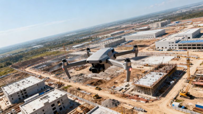
Commercial drone inspections use remotely operated aircraft to collect visual and, when appropriate, thermal or mapped information about buildings, infrastructure, and active worksites. The value is not simply a different camera angle. It is a repeatable way to gather useful evidence while reducing exposure to roofs, façades, elevated structures, and other difficult areas. For teams searching for commercial drone inspection services santa clara county, the first question should be what decision the inspection needs to support.
What drone inspections include
A well-defined inspection may include high-resolution still photographs, video, thermal imagery, mapping outputs, or a three-dimensional model. The exact mix depends on the asset and the question: a roof review may need close visual details, while a large site may benefit from a broader map and consistent repeat capture. The deliverable should make findings easy to locate, compare, and discuss rather than leaving a project team with an unorganized folder of images.
The inspection scope can also identify access limits, areas that need closer review, and conditions that warrant a qualified specialist’s assessment. Drone data supports inspection work; it does not automatically establish a legal, engineering, or survey-grade conclusion.
Commercial properties and assets that benefit most
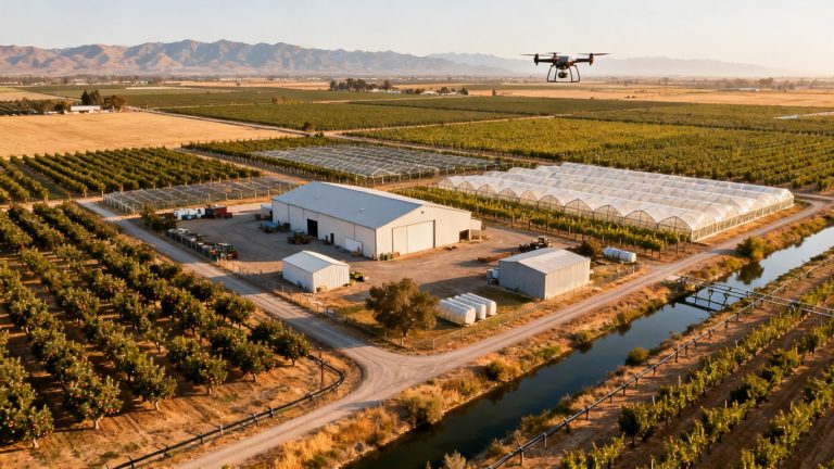
Drones are particularly useful where height, scale, distance, or active operations make ground observation incomplete or disruptive. Commercial roofs, façades, solar arrays, construction sites, bridges, utility corridors, and telecommunications assets can all benefit when the flight is planned around a specific information need.
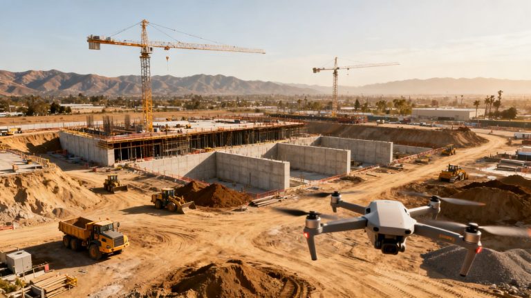
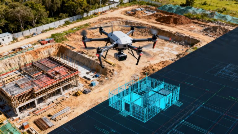
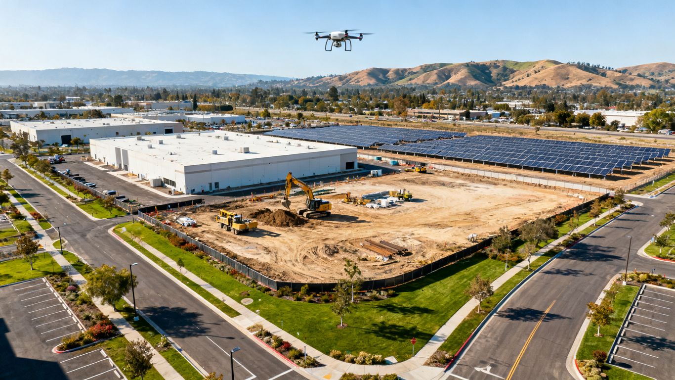
For construction managers, Santa Clara County construction imaging can support progress tracking and site overviews. For an existing facility, the same general approach can document exterior conditions over time, helping teams compare observations during maintenance planning instead of relying only on memory or scattered field notes.
Common inspection challenges in the Bay Area
Santa Clara County combines dense development, busy commercial sites, varied terrain, and changing weather. A flight may need to account for nearby roads, pedestrians, cranes, overhead lines, restricted areas, neighboring properties, and sensitive business operations. Wind, glare, shadows, and limited access can also affect the quality or usefulness of captured data.
Local rules deserve careful attention. Restrictions may apply in parks and other public spaces, and some cities require permits or additional coordination. A provider should verify the planned operating area rather than assume that a nearby open-looking location is automatically suitable for flight.
How aerial data supports maintenance and risk management
Aerial information helps teams see conditions earlier, document them consistently, and decide what deserves attention first. It can provide a shared visual reference for owners, facility managers, contractors, engineers, and insurers, especially when people cannot visit the same area at the same time.
The strongest workflow connects each finding to a location, image, condition description, and recommended next step. That turns a flight into a practical record for maintenance planning, follow-up inspection, budgeting, and risk discussions. It also keeps the limits of the data visible: imagery informs decisions, but qualified professionals remain responsible for conclusions within their disciplines.
Choosing the right commercial drone inspection provider
A provider should be evaluated as an inspection partner, not only as a pilot with an aircraft. Ask how the team defines scope, controls risk, captures data, and communicates findings after the flight. The right fit depends on the asset, the operating environment, and the level of interpretation your stakeholders need.
Pilot certifications and operating experience
Commercial operations should be conducted by appropriately qualified remote pilots who understand the applicable aviation rules and can explain how those rules affect the work. Experience matters just as much. A pilot who has worked around active construction, occupied buildings, utilities, or transportation assets is more likely to anticipate practical hazards before arriving on site.
Ask for examples of similar operating environments, not just impressive aerial footage. A useful conversation covers preflight planning, communications, emergency procedures, image quality, and how the team handles an area that cannot be safely reached or captured as planned.
Insurance, licensing, and regulatory compliance
Request current evidence of insurance and ask who is responsible for airspace review, permissions, site coordination, and records. The operator should be able to describe how the planned flight complies with applicable federal requirements and local restrictions. Those details are part of the service, not paperwork to be handled after the imagery is collected.
For local planning, teams can review regional drone operating constraints alongside the provider’s own compliance process. Requirements may vary by location and can change, so an old flight plan or a generic statement about legality is not enough for a current project.
Industry-specific inspection capabilities
A roof, solar array, bridge, and construction site do not present the same inspection questions. Look for a provider that can explain which sensors, flight patterns, image types, and reporting methods fit the asset. It should also be clear when the work calls for input from a roofer, engineer, electrical specialist, or another qualified professional.
A provider’s deliverables should be usable by the people making decisions. Raw images may be valuable, but they are more useful when paired with location references, annotations, consistent naming, and a clear explanation of limitations.
Local knowledge of Santa Clara County properties
Local familiarity helps with more than navigation. It can improve coordination around dense neighborhoods, campuses, construction traffic, public spaces, nearby airports, and occupied properties. A provider who asks about neighbors, tenants, access gates, rooftop equipment, and daily operations is showing the kind of preparation that prevents avoidable delays.
That knowledge should remain practical rather than promotional. The important test is whether the team can translate local conditions into a safe flight plan and a realistic schedule for the property under review.
Types of commercial drone inspections available
Commercial drone inspection work covers several asset types, and each one calls for a slightly different capture plan. Some assignments focus on close visual evidence, while others need broad coverage, repeatable mapping, or heat patterns. Matching the method to the asset keeps the project focused and avoids collecting data that no one will use.
Roof and building exterior inspections
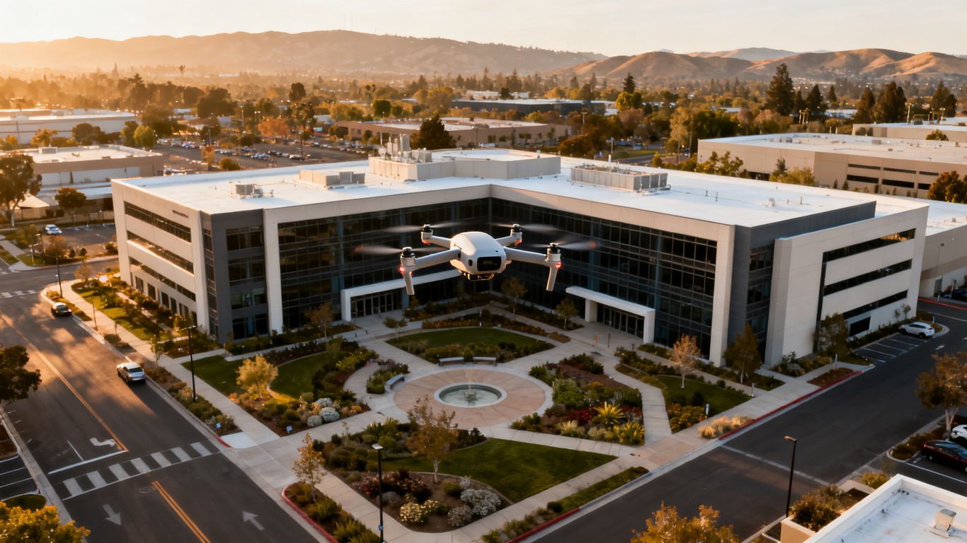
Roof and façade inspections can document membranes, flashing, drainage areas, exterior finishes, parapets, mechanical equipment, and other visible conditions from angles that are difficult to obtain from the ground. Drone imagery can reduce the need for repeated ladder work or lifts, although it does not eliminate the need for hands-on review where close contact is necessary.
The scope should identify priority elevations and known problem areas. It should also distinguish between general condition documentation and a specialist assessment, so owners do not mistake an image set for a complete diagnosis.
Solar panel and energy infrastructure inspections
Solar and energy assets often benefit from a combination of broad coverage and detailed visual review. A thermal capture may help identify unusual heat patterns, while standard imagery provides context about panel rows, equipment, access paths, or surrounding conditions. The interpretation depends on operating conditions, weather, equipment status, and the expertise reviewing the results.
Aeroskape describes Thermal Drone Inspections as using infrared drone thermal imaging to identify heat anomalies and provide visual data for informed maintenance and performance decisions. The output should still be treated as informational unless a qualified specialist is engaged for the technical conclusion.
Construction progress and site documentation
Construction teams use aerial capture to document progress, compare site conditions across dates, review logistics, and share a common visual record with stakeholders. Repeatable viewpoints can make changes easier to spot, particularly on large or changing sites where ground photos provide only isolated perspectives.
Aerial documentation is most useful when tied to the schedule and project questions. Capture dates, locations, and areas of interest should be consistent enough to support coordination without suggesting that imagery alone replaces project controls, engineering review, or legal surveying.
Industrial, utility, and telecommunications inspections
Industrial facilities, utility assets, and telecommunications structures can contain elevated, remote, or hazardous areas. A drone may help gather preliminary visual evidence while keeping personnel away from some exposure, but the operator still needs to account for electromagnetic interference, lines, moving equipment, restricted access, and the asset owner’s safety rules.
The inspection plan should state what can be observed from the air and what requires another method. For linear or widely distributed infrastructure, consistent naming and location information become especially important because a small defect is only useful if the maintenance team can find it again.
How the drone inspection process works
A dependable inspection begins before the aircraft arrives. The provider and client should agree on the asset, questions, access conditions, safety controls, data products, and review process. That early clarity gives the pilot room to plan carefully and gives the client a meaningful standard for judging the final work.
Defining the inspection scope and deliverables
Start with the decision the inspection must support. Is the goal to document current condition, investigate a suspected issue, compare progress, plan maintenance, or give stakeholders a shared site view? The answer determines the areas to cover, the sensors to use, the level of detail, and the format of the final report.
A useful scope names the property or asset, inspection boundaries, priority areas, capture date or cadence, expected files, and any limitations. It should also state whether interpretation is descriptive only or will be reviewed by a separate technical specialist.
Planning flight paths and site safety procedures
Flight planning should account for people, vehicles, buildings, overhead obstructions, takeoff and landing areas, weather, airspace, and emergency actions. On a busy site, the operator may need a spotter, a temporary pause in work, a defined exclusion area, or a flight window when fewer people are present.
The plan should be shared with the site contact before the visit. A short preflight briefing can cover communication methods, who can stop the operation, where the aircraft will operate, and what happens if conditions change. These simple steps often matter more than adding another technical feature.
Capturing high-resolution photos, video, and thermal data
The pilot should capture enough overlap, detail, and context to answer the agreed questions. Close views help with visible conditions, while wider frames show where those conditions occur. Thermal data, when included, needs suitable environmental and operating conditions so that apparent differences are not mistaken for confirmed faults.
At this stage, quality control matters. The team should check focus, exposure, coverage, file integrity, and naming before leaving when possible. A short review on site can prevent an expensive return visit caused by a missed elevation or unusable sequence.
Reviewing findings with specialists and stakeholders
After capture, the provider organizes the material and identifies observations that matter to the project. Review meetings are useful when they connect each observation to a location, image, confidence level, and suggested next action. The goal is not to make every viewer a drone expert; it is to make the evidence understandable to the people responsible for the asset.
Aeroskape provides Commercial Drone Inspection services that include high-resolution imagery, terrain visualization, and 3D aerial modeling for construction-related decision-making. Where a finding has engineering, electrical, structural, or regulatory implications, the project team should bring in the appropriate qualified specialist rather than asking the imagery provider to exceed its documented role.
Evaluating inspection technology and reporting quality
More sensors do not automatically produce a better inspection. Technology should be selected according to the asset, the expected distance, the lighting, the required detail, and the decision the report must support. Reporting quality then determines whether the collected information can move from a screen into a maintenance or project workflow.
Standard, zoom, and thermal imaging capabilities
Standard RGB imagery is often the foundation because it provides recognizable color and context. Zoom can help examine distant details without bringing the aircraft as close to an obstacle, while thermal imaging may reveal heat differences that are not visible in ordinary photographs. Each mode has limits, and the report should explain conditions that could affect interpretation.
Ask whether the provider can preserve original files as well as selected report images. It is also reasonable to ask how the team avoids overinterpreting glare, reflections, shadows, weather effects, or temperature differences that do not by themselves prove a defect.
Mapping, 3D models, and geospatial data
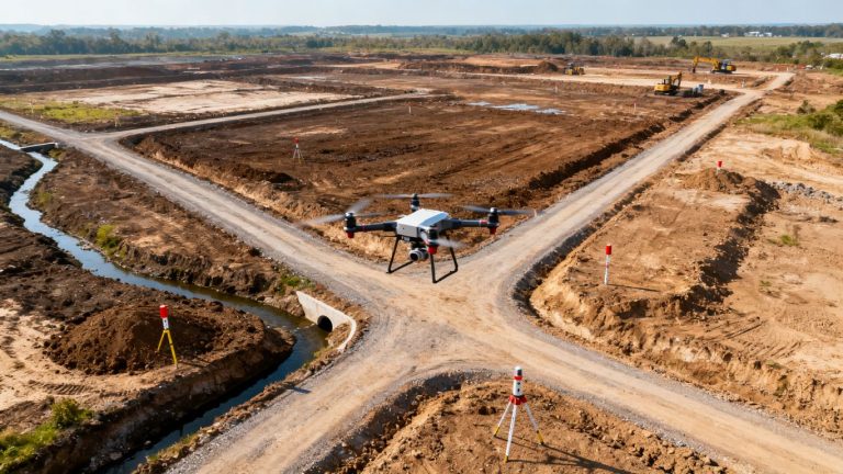
Mapping and three-dimensional models can help teams understand a site at a broader scale. They may support progress comparisons, visual coordination, access planning, and identification of areas that deserve closer review. The usefulness of these outputs depends on capture overlap, ground conditions, control information, processing, and the intended accuracy.
Do not assume that a model is a survey or a legal deliverable. If a project needs professional land surveying, boundary work, or another regulated service, that requirement belongs with a properly licensed professional. The drone deliverable should be described accurately and used within its stated purpose.
Defect documentation and prioritization
A finding is easier to act on when the report records what was observed, where it was observed, how it was captured, and why it may matter. A simple priority system can separate urgent safety concerns, planned maintenance, monitoring items, and observations that need specialist confirmation.
The following table illustrates a practical reporting structure. It is not a substitute for technical judgment, but it gives project teams a consistent way to sort information.
| Finding category | Useful evidence | Typical next step |
|---|---|---|
| Immediate concern | Close image, location, and condition note | Restrict access or request prompt specialist review |
| Planned maintenance | Context image, detail image, and asset reference | Add to work planning and budget review |
| Monitor | Repeatable viewpoint and date | Schedule another capture or field check |
| Needs confirmation | Clear observation with stated limitation | Refer to the appropriate qualified professional |
This kind of structure keeps the report from treating every observation as equally urgent. It also makes follow-up easier when several teams share responsibility for the property.
Report formats, annotations, and file access
A strong report should be readable by a project manager and detailed enough for a technical reviewer to trace an observation back to source material. Useful elements can include annotated photographs, a location map, capture dates, file indexes, limitations, and a short findings summary. Deliverables should also specify how files will be accessed and how long they will remain available.
Ask for a sample report with sensitive information removed. The sample can reveal whether the provider offers a clear narrative and useful references or simply exports a gallery of images. Clear file organization is a small operational detail that can make the final information much easier to use.
Costs, timelines, and return on investment
Pricing varies because commercial inspections vary. A small building exterior review and a multi-day infrastructure assignment may both be called drone inspections, but they involve different planning, capture, processing, and reporting requirements. A useful quote explains those differences instead of reducing the decision to an hourly flight rate.
Factors that influence commercial drone inspection pricing
Scope, site size, travel, access complexity, flight time, sensors, processing, mapping, thermal review, reporting detail, and repeat visits can all affect the price. Occupied properties or active construction sites may require more coordination than an isolated asset. A quick visual capture and a fully annotated, processed deliverable should not be compared as if they were the same service.
Ask what is included, what triggers additional charges, how weather rescheduling works, and whether raw files are provided. The quote should also identify assumptions about permissions, escorts, site access, and specialist review.
Comparing drone inspections with traditional methods
The fairest comparison considers safety exposure, setup time, disruption, coverage, repeatability, and the quality of the resulting record. Drones can reduce the need for some elevated access and may collect broad visual information quickly, but they are not ideal for every condition. Hands-on checks, lifts, rope access, or other methods may still be necessary.
The objective is not to replace every traditional method. It is to use the least disruptive suitable method for each question, then combine the evidence when a more complete assessment is needed.
Scheduling around operations, weather, and airspace
A flight schedule should include more than a preferred date. Build in time for permissions, tenant or contractor coordination, weather changes, equipment checks, and possible rework. Morning glare, wind, rain, heat, and changing site activity can all affect whether a planned capture is useful.
For recurring inspections, a cadence is often more valuable than a single dramatic flight. Consistent capture conditions and viewpoints make changes easier to distinguish from differences caused by timing or technique.
Measuring savings, safety improvements, and maintenance value
Return on investment can appear as avoided access equipment, fewer personnel exposed to elevated hazards, faster issue identification, reduced travel, better documentation, or more informed maintenance scheduling. Those benefits should be tracked against the actual project rather than promised as universal results.
Before the first flight, record a baseline: expected inspection time, access costs, known problem areas, and the decisions the data should improve. After delivery, compare the result with that baseline. A modest inspection can have meaningful value when it prevents a missed condition or gives several stakeholders the same reliable reference.
Preparing for a successful drone inspection
Client preparation has a direct effect on inspection quality. A provider can plan the flight, but the property team knows the access points, sensitive operations, recent incidents, tenant concerns, and project priorities. Sharing that knowledge early reduces surprises and helps the operator collect information that is actually useful.
Providing site plans, access details, and inspection goals
Send available site plans, roof or equipment layouts, access instructions, contact information, and known hazards before the visit. Mark areas that are especially important and identify any equipment that should be captured under particular operating conditions. If there are prior reports or photographs, they can help establish context without dictating the new inspection’s conclusions.
Keep the goal specific. “Inspect the property” is less useful than asking for exterior condition documentation, progress evidence for a defined phase, or visual review of a suspected area.
Coordinating employees, tenants, and contractors
Tell people who may be affected by the operation when and where it will occur. Coordinate with security, facilities staff, construction supervisors, tenants, and contractors so the takeoff area remains available and people do not unexpectedly enter the operating zone.
A simple contact list helps. It should identify the on-site decision-maker, the person who can provide access, the safety contact, and the person who will receive the deliverables. Clear responsibility keeps a small inspection from becoming a day of unanswered calls.
Addressing privacy, security, and airspace concerns
Commercial properties may contain sensitive equipment, private work areas, customer information, or security controls. Discuss where the aircraft may operate, what areas should not be captured, how files will be stored, and who may receive them. Airspace review should be completed for the actual site and date rather than assumed from a previous assignment.
If the property is near a public area, airport, campus, or neighboring building, the provider should explain the relevant coordination and operating limits. Privacy and security are part of responsible planning, not obstacles to be ignored once the aircraft is in the air.
Turning inspection results into an action plan
Assign an owner to receive the report and schedule a review soon after delivery. Sort findings into immediate actions, planned work, monitoring, and items needing specialist confirmation. Then connect each action to a location, responsible party, target date, and supporting image or model.
Aeroskape’s Drone-as-a-Service offering is described as supporting construction project monitoring, site analysis, safety, planning, and documentation through high-resolution aerial imagery and real-time data. For teams considering recurring capture, that type of service model can be discussed alongside the project’s cadence, access needs, and reporting workflow rather than treated as a one-off flight purchase.
Conclusion
Commercial drone inspections are most useful when they begin with a clear question, follow a disciplined safety and compliance process, and end with organized information that people can act on. For Santa Clara County properties, thoughtful local planning matters as much as camera quality. A careful provider can help teams see difficult areas, reduce unnecessary exposure, document change, and make better maintenance or project decisions without overstating what aerial data can prove.
Frequently Asked Questions
What is a commercial drone inspection?
It is a planned drone operation that collects visual, thermal, video, mapping, or related aerial information about a commercial asset or worksite for inspection, documentation, maintenance, or project decision-making.
What properties can benefit from drone inspections?
Commercial roofs, façades, construction sites, solar installations, industrial facilities, bridges, utility assets, and telecommunications structures may benefit when aerial access can safely answer a defined inspection question.
Are drone inspections a substitute for professional inspections?
Not always. Drone data can support an inspection and reduce exposure to difficult areas, but qualified professionals may still be needed for structural, electrical, roofing, engineering, legal, or regulated conclusions.
How long does a commercial drone inspection take?
Timing depends on site size, scope, access, sensors, permissions, weather, and reporting requirements. The flight itself may be brief while planning, processing, review, and documentation take additional time.
Can drone inspections include thermal imaging?
They can when the provider has suitable thermal equipment and the assignment conditions support useful results. Thermal patterns require careful interpretation and should not automatically be treated as confirmed defects.
What should a drone inspection report contain?
A useful report commonly includes a findings summary, dated photographs, annotations, location references, maps or models when appropriate, file access information, and clear limitations or recommendations for follow-up.
How should a property owner prepare for the inspection?
Provide site plans, access details, inspection goals, known hazards, relevant contacts, and coordination information for employees, tenants, and contractors. Also discuss privacy, security, airspace, and any areas that should not be captured.