Sacramento Delta drone aerial survey services: A practical guide to accurate mapping and site data
Key Takeaways
Drone surveys can make large, wet, or difficult-to-access Delta sites easier to understand, but the useful result depends on planning, sensor selection, and careful validation.
- Define the decisions the survey needs to support before choosing equipment.
- Match orthomosaics, photogrammetry, LiDAR, thermal, or multispectral capture to the site.
- Plan around waterways, levees, crops, weather, airspace, and nearby people or infrastructure.
- Request deliverables in formats your team can actually review and use.
- Confirm the provider’s safety process, accuracy limits, revisions, and data terms.
Understanding Sacramento Delta drone aerial survey services
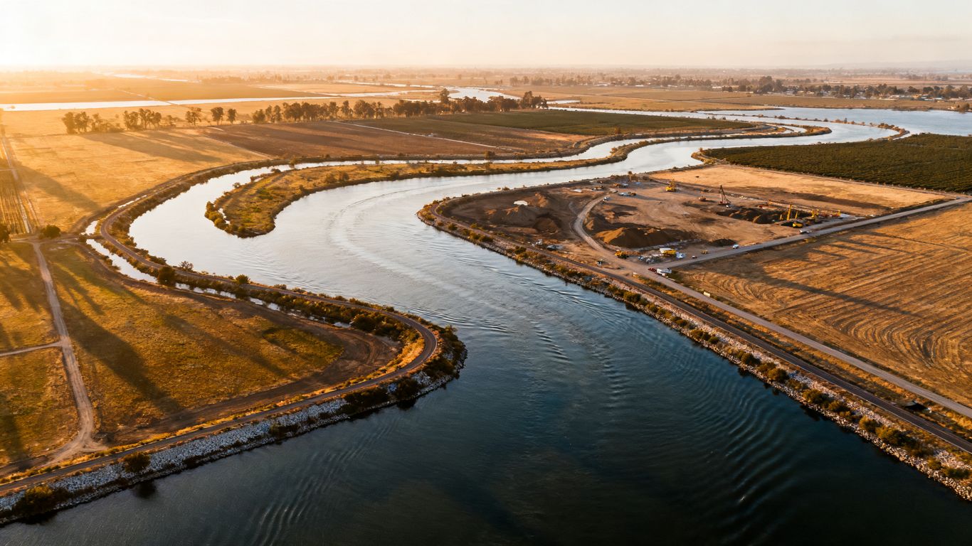
Sacramento Delta drone aerial survey services can provide a timely visual record of broad, complex areas that are difficult to inspect from the ground. The Delta’s mix of waterways, levees, agricultural parcels, access roads, and developed edges makes context especially valuable. Aerial data can help project teams compare conditions, identify changes, and coordinate work without treating an image as a substitute for a licensed land survey. The best projects begin with a practical question: what decision should the data help someone make?
What aerial surveys can reveal across the Delta
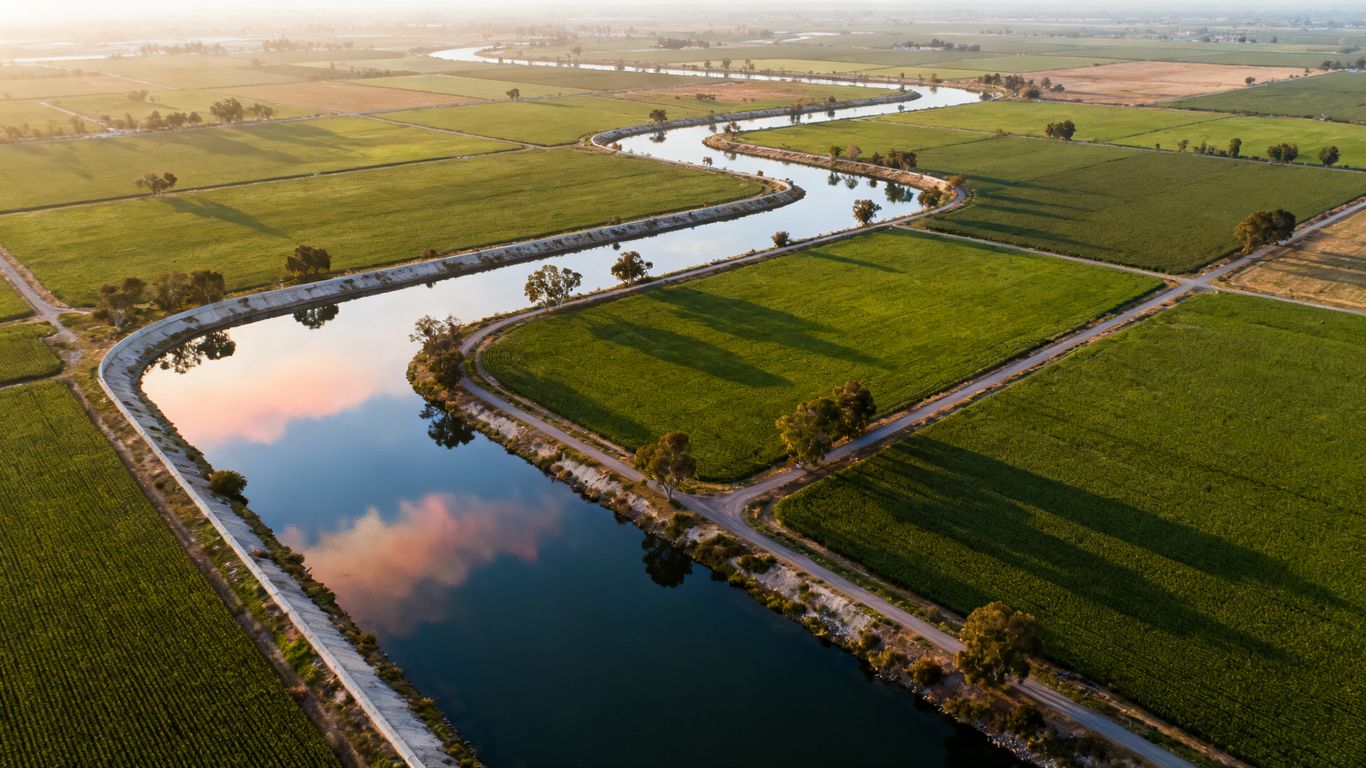
An aerial survey can show surface conditions, drainage patterns, access routes, stockpiles, exposed work areas, and the relationship between separate parts of a site. Repeated flights can also create a consistent visual record of progress or change. That record becomes more useful when it is tied to a known project boundary, date, and coordinate reference rather than delivered as a collection of unrelated photographs.
How drones complement traditional surveying methods
Drones gather overhead imagery and sensor data quickly, while conventional field methods remain essential for control, boundary work, legal documents, and questions requiring professional land surveying. A project may use both: aerial capture for broad context and field crews for targeted verification. This division keeps expectations clear and helps teams avoid presenting visualization data as a certified survey product.
Common industries that use drone survey data
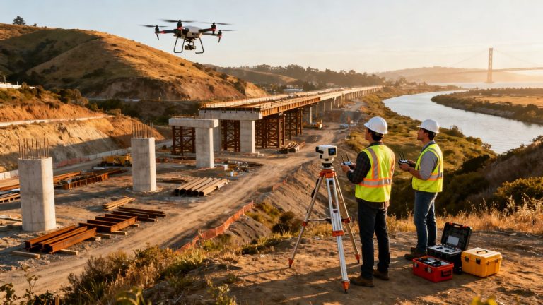
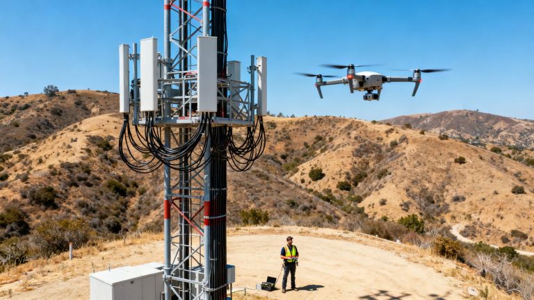
Construction and site development teams use aerial data to document progress, review site logistics, and inspect areas that are awkward or unsafe to reach. Civil engineering and infrastructure groups may use it for planning context, corridor observation, and existing-condition documentation. Utilities, environmental managers, agricultural operators, and public agencies can also benefit when current visual information is needed across a dispersed area.
For construction teams, aerial imaging for Sacramento projects is especially relevant when managers need a repeatable overview to share with engineers, owners, and field personnel. The value is not simply having a higher viewpoint; it is having organized information that supports a specific workflow.
When a drone survey is the right choice
A drone is often a sensible choice when the site is large, changing, visually complex, or difficult to walk efficiently. It can also make sense for recurring documentation, remote review, or early planning before committing to more extensive fieldwork. It may be less suitable when vegetation, weather, airspace, accuracy requirements, or the need for legal certification outweigh the benefits of aerial capture.
Choosing the right survey method for your project
The word “survey” can describe several different data products, and they are not interchangeable. An orthomosaic answers a visual mapping need, while photogrammetry creates a model from overlapping photographs and LiDAR records surface geometry with active sensing. Thermal and multispectral data add information outside the visible spectrum. Choosing well means connecting the sensor to the question, the site conditions, and the intended deliverable.
Orthomosaic mapping for visual site documentation
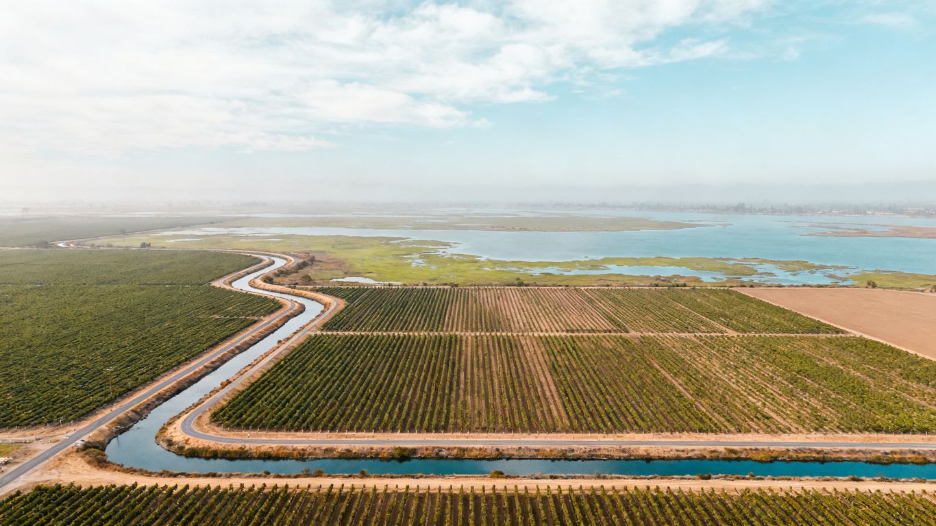
An orthomosaic is a corrected, map-like image assembled from many aerial photographs. It is useful for documenting site conditions, reviewing access, comparing progress, and communicating visually with people who do not work in GIS or surveying software. High-resolution orthomosaic mapping can be a practical fit when the main need is a clear, georeferenced visual record rather than a full terrain model.
Photogrammetry for 3D models and measurements
Photogrammetry uses overlapping images to create spatial products such as point clouds, meshes, and three-dimensional site views. It works best when the subject has sufficient visual texture and the flight can capture consistent overlap. Aeroskape provides 3D aerial modeling from imagery for site planning, progress monitoring, and environmental assessments; the resulting model should still be checked against the project’s required accuracy and professional-use standards.
LiDAR for vegetation, elevation, and terrain analysis
LiDAR sends laser pulses toward the ground and records returns that can describe surface form, including in conditions where ordinary imagery is limited by vegetation. It can be useful for terrain context, dense cover, and detailed visualization, although the final quality depends on sensor specifications, flight design, positioning, and processing. Aeroskape offers Aerial LiDAR data capture that generates dense point clouds for site analysis and visualization; clients needing certified or survey-grade deliverables should engage a Professional Land Surveyor.
Thermal and multispectral imaging for specialized inspections
Thermal sensors detect differences in heat, while multispectral sensors record reflected energy in selected wavelength bands. These tools can support specialized inspections or environmental observations, but their usefulness depends on the target, weather, time of day, calibration, and interpretation. They should be selected because they answer a defined question, not because adding another sensor sounds more comprehensive.
Planning a drone survey in the Sacramento Delta
Good field capture begins before the aircraft arrives. A provider needs to understand the site’s boundaries, purpose, access constraints, nearby activity, and the decisions that will follow from the data. Planning is more involved in the Delta because water, levees, crops, wildlife, and changing weather can affect both safe operations and image quality. A clear brief reduces rework and makes the final files easier to evaluate.
Defining site boundaries and project objectives
Start with a map or drawing that identifies the area to cover, nearby features, and any exclusions. Then describe the intended use in plain language: progress documentation, a visual base map, terrain context, stockpile measurement, inspection support, or another defined purpose. The objective will influence the flight plan, sensor, control strategy, processing method, and file formats.
Accounting for waterways, levees, farms, and restricted areas
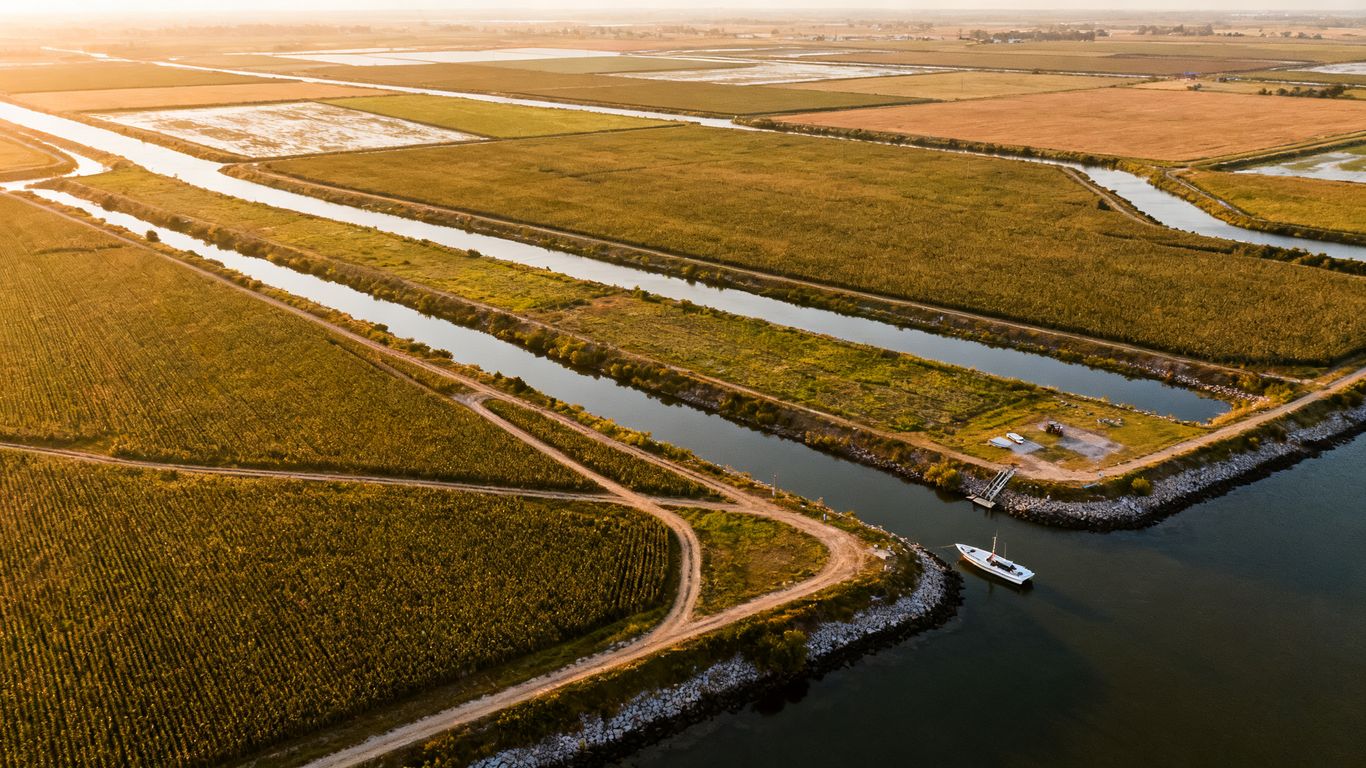
Waterways may limit launch and recovery options, while levees and soft ground can restrict vehicle access. Farms may have active equipment, livestock, workers, or crop-sensitive areas that require coordination. Restricted airspace, nearby airports, private property, residences, roads, and infrastructure should be identified during planning rather than discovered on site.
Selecting flight altitude, overlap, and camera settings
Altitude affects ground sampling distance, coverage, and the level of detail captured. Image overlap supports reconstruction, but more overlap can increase flight time and processing volume. Camera settings should account for light, motion, surface reflectivity, and the texture available for matching. A provider should explain these choices in relation to the deliverable instead of presenting them as fixed defaults.
Timing surveys around weather, crops, and water conditions
Wind, fog, rain, glare, and low light can compromise capture or make operations unsafe. Crop height and seasonal activity may change what the camera can see, while water levels can alter the appearance of banks and drainage features. For repeat surveys, keeping the timing and method reasonably consistent makes comparisons more meaningful.
What the drone survey process involves
A professional workflow is more than sending a drone over a site and downloading photographs. It includes research, risk assessment, positioning, controlled capture, processing, and review. Each stage gives the next one better information. When a project has demanding accuracy or documentation needs, the provider should explain how these stages connect and where the limits are.
Preflight research and airspace review
Before flying, the team should review airspace, permissions, weather, site access, obstacles, people, vehicles, and emergency procedures. The pilot should also identify suitable launch and recovery areas and establish communication with the site contact. This preparation protects the crew and the public while reducing the chance of an incomplete or rushed capture.
Ground control points and positioning accuracy
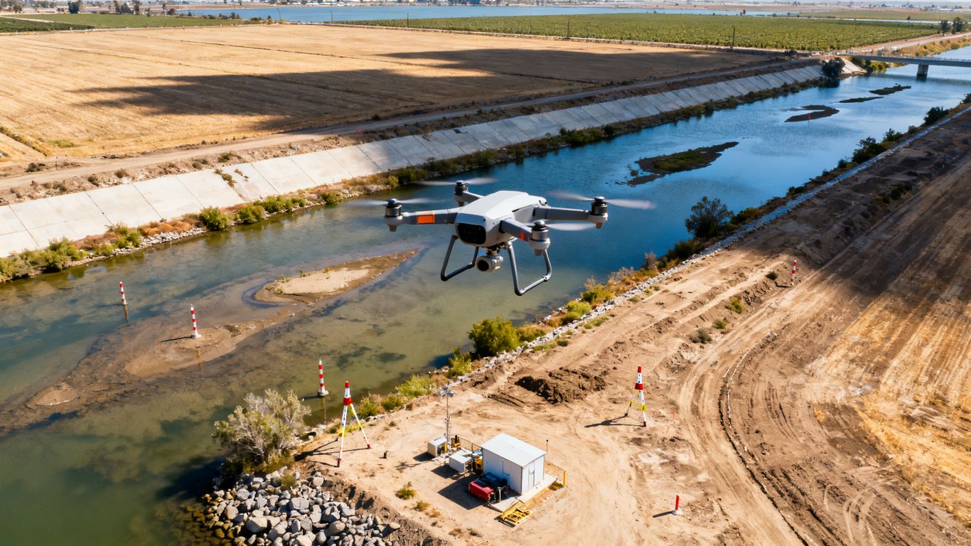
Ground control points are marked locations with known positions that help tie aerial data to the ground. Check points can provide an independent way to assess the processed result. Positioning may also involve GNSS, RTK, or PPK equipment, but the appropriate method depends on the project and required tolerance. No positioning technology removes the need to state what was measured, how it was checked, and what accuracy was achieved.
Field capture with drones and onboard sensors
During capture, the pilot follows the approved flight plan while watching the aircraft, airspace, weather, and site activity. The crew may collect overlapping RGB imagery, LiDAR, thermal, or multispectral data depending on the brief. Field notes about interruptions, lighting, water conditions, and coverage gaps are valuable later because they explain anomalies in the final files.
Data processing, quality checks, and survey validation
Processing turns raw observations into maps, models, point clouds, or other requested outputs. Quality checks may include reviewing coverage, image sharpness, control residuals, alignment, missing areas, and visible distortions. The provider should separate visual or engineering support data from certified survey work and identify any areas that need field verification.
Deliverables you can request from a drone survey provider
A useful proposal names the outputs before the flight. “Aerial data” is too broad to guide a budget, review process, or software workflow. Ask what will be delivered, at what resolution or density, in which coordinate system, and with what supporting documentation. The right package may contain one primary file and several complementary products rather than every possible output.
High-resolution orthomosaic maps
Orthomosaics provide a rectified visual base for site review and comparison. Ask about ground resolution, coordinate reference, coverage boundaries, image date, and whether areas obscured by vegetation or glare will be identified. A clean naming convention and clear file preview can matter as much as resolution when several project updates will be stored over time.
Digital elevation and surface models
Elevation models describe height across a site, but the terms are not identical. A surface model may include visible structures and vegetation, while an elevation product intended to describe bare ground depends on classification and site conditions. Request an explanation of what the model includes, how it was generated, and whether it is appropriate for the decisions your team intends to make.
Contour maps, point clouds, and 3D models
Point clouds retain many individual observations and can support visualization, measurement, and additional processing. Three-dimensional models are often easier for nontechnical stakeholders to explore, while contours can fit established design or planning workflows. If you need a particular software format, state that at the proposal stage rather than assuming every provider exports the same files.
Progress reports, measurements, and GIS-ready files
Recurring projects may benefit from short progress summaries, dated comparisons, annotated images, or measurements tied to a defined method. GIS-ready files should include enough metadata for another team member to understand their coordinate system and coverage. For stockpiles or other calculated quantities, ask for the assumptions and boundaries used in the calculation, not only the final number.
A deliverable checklist is useful because it turns a general request into an agreed handoff. Consider confirming these items before mobilization:
- Coverage boundary and excluded areas.
- Coordinate system, resolution, and expected accuracy.
- File formats for maps, models, point clouds, and imagery.
- Quality-control notes, control information, and limitations.
- Delivery date, revision process, and data storage terms.
That conversation can prevent a technically impressive package from becoming difficult to use. It also gives project managers a fair basis for comparing proposals that otherwise appear similar.
Accuracy, safety, and regulatory considerations
Accuracy is not a single promise attached to every drone flight. It is the result of equipment, positioning, ground control, flight conditions, processing, and independent checks. Safety and compliance matter just as much: an accurate dataset is not a successful project if the operation exposes people, property, wildlife, or infrastructure to avoidable risk. Treat the provider’s methodology and stated limitations as part of the deliverable.
FAA requirements for commercial drone operations
Commercial drone work in the United States generally requires compliance with applicable Federal Aviation Administration rules, including the requirements associated with Part 107 unless an appropriate authorization or exception applies. Operations may also involve airspace authorizations, limits on people or moving vehicles, remote pilot responsibilities, and required aircraft registration. The provider should explain how the planned operation will be conducted legally and safely for the specific site.
Survey-grade accuracy and equipment limitations
A high-resolution image is not automatically survey-grade, and a dense point cloud is not automatically suitable for legal or design certification. Ground conditions, vegetation, reflective surfaces, insufficient control, and poor visibility can affect results. Ask for the expected accuracy, the method used to assess it, and a clear statement of what the data can and cannot support. Aeroskape’s California mapping accuracy guide offers useful background on positioning, sensor choices, and accuracy assessment.
Privacy, wildlife, and environmental considerations
Flights should respect nearby homes, private property, workers, visitors, and sensitive habitats. Wildlife activity, nesting areas, protected lands, dust, noise, and repeated operations may require additional coordination or restrictions. The project brief should identify sensitive areas and define how imagery will be handled, retained, and shared.
Safe operations near roads, homes, and infrastructure
Roads, power lines, cranes, towers, bridges, and buildings create both physical and operational hazards. A safe plan considers separation, visibility, communications, emergency landing options, and changing site activity. A pilot should pause or modify the operation when conditions no longer match the approved plan rather than treating schedule pressure as a reason to accept unnecessary risk.
How to evaluate Sacramento Delta drone survey companies
Choosing a provider is partly a technical decision and partly a workflow decision. Two companies may use similar aircraft yet differ greatly in planning, documentation, processing, communication, and support after delivery. Look for a team that can explain the connection between your project question and the proposed data. Avoid selecting on price alone when a missed area or unusable format could create more cost later.
Reviewing pilot qualifications and surveying experience
Ask who will fly, who will process the data, and what experience the team has with construction, infrastructure, agriculture, waterways, or other conditions relevant to your site. Confirm that the pilot understands commercial operating requirements and can describe the safety review. Also clarify whether the provider offers aerial data and visualization only or whether a licensed professional will be engaged for any surveying work that requires that credential.
Comparing equipment, software, and technical capabilities
The aircraft matters, but so do the sensors, positioning workflow, processing software, quality checks, and export options. Ask for a sample deliverable or a plain-language explanation of how raw capture becomes the proposed output. A provider should be able to discuss the tradeoffs between imagery, photogrammetry, LiDAR, thermal, and multispectral data without pushing a sensor that does not fit the job.
Assessing turnaround times, pricing, and project scope
A useful quote separates mobilization, capture, processing, travel, control, revisions, and optional deliverables. It should state what happens if weather prevents a flight or if a site is not fully captured. Turnaround should be realistic for the area, sensor, processing level, and review requested. For recurring work, ask whether the same flight boundaries and reporting format can be maintained across visits.
Confirming data ownership, revisions, and support terms
Before work begins, establish who owns the raw files and processed deliverables, how long data will be retained, and how it will be transferred. Define what counts as a correction, what counts as a new request, and how quickly issues will be addressed. If your team uses GIS, CAD, project-management, or document-control systems, confirm the handoff requirements in writing.
For teams comparing service models, drone service guides can help frame questions about aerial data capture, 3D modeling, LiDAR, thermal inspections, and related workflows. When the scope is clear, a conversation with a provider can focus on the site and the decision rather than on vague promises.
Conclusion
Sacramento Delta drone aerial survey services are most valuable when they produce timely, clearly defined data for a real project decision. Match the method to the site, plan carefully around Delta conditions, validate the result, and keep the limits of aerial visualization distinct from professional land surveying. For a practical next step, teams can request an aerial consultation and discuss the coverage, deliverables, and operating conditions their project requires.
Frequently Asked Questions
What is a drone aerial survey?
It is the planned collection of aerial imagery or sensor data that is processed into outputs such as orthomosaics, models, point clouds, or inspection imagery. The exact result depends on the sensor, flight design, positioning, and processing workflow.
How much does a Delta drone survey cost?
Pricing varies with site size, travel, access, sensor choice, control requirements, processing, turnaround, and requested file formats. A clear scope is usually necessary before a provider can give a meaningful estimate.
How accurate can drone mapping be?
Accuracy depends on equipment, positioning, ground control, flight conditions, terrain, processing, and independent checks. A provider should state the expected accuracy and limitations for the specific project rather than offering one universal figure.
Can drones replace a land surveyor?
No. Drone data can support planning, documentation, inspection, and visualization, but it does not automatically replace licensed professional surveying services or certified legal deliverables.
Which is better for a Delta site, photogrammetry or LiDAR?
Neither is always better. Photogrammetry can be effective for image-rich models and visual mapping, while LiDAR may be preferable for certain terrain or vegetation conditions. The choice should follow the site question and required output.
How long does a drone survey take?
Field capture may be relatively quick, but total delivery time also includes planning, permissions, control, processing, quality review, and any requested revisions. Larger areas and more complex outputs generally require more time.
What should a project manager provide before requesting a quote?
Provide the site boundary, purpose, desired deliverables, timing, access details, known hazards, nearby sensitive areas, coordinate requirements, and any software or reporting standards the final files must meet.