Optimizing Utility Operations with Advanced Aerial Corridor Mapping
Managing utility operations can get pretty complicated. Think about all the pipes, power lines, and cables underground and overhead. Keeping track of it all, making sure it’s safe, and planning for the future is a huge job. That’s where aerial corridor mapping for utilities comes in. It uses drones and other cool tech to get a really clear picture of everything, making the whole process a lot smoother and safer.
Key Takeaways
- Drones provide highly accurate mapping of utility corridors, improving safety and speeding up planning for construction projects.
- Advanced aerial corridor mapping for utilities uses tools like LiDAR and GPR to understand what’s underground and avoid costly mistakes.
- Drones help with more than just mapping; they can also spot leaks and check the health of infrastructure, aiding in maintenance.
- Using drone data helps utilities meet strict accuracy and regulatory standards, especially for as-built verification.
- Aerial inspections with drones streamline vegetation management, spotting potential problems before they affect power lines or other infrastructure.
Revolutionizing Utility Mapping With Drones
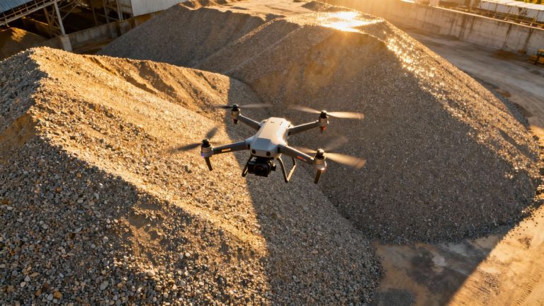
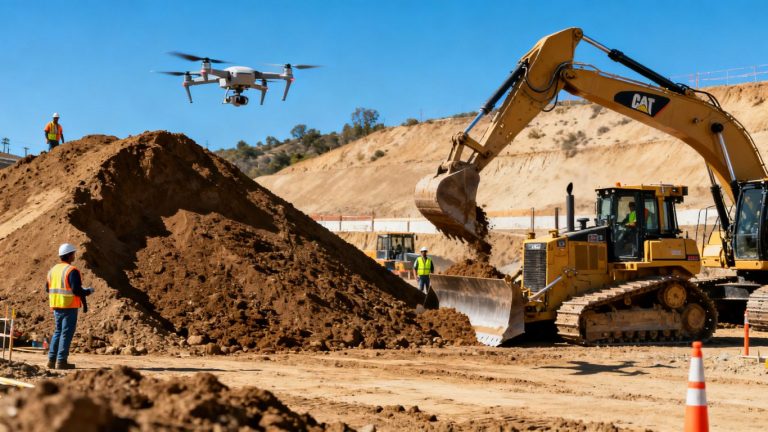
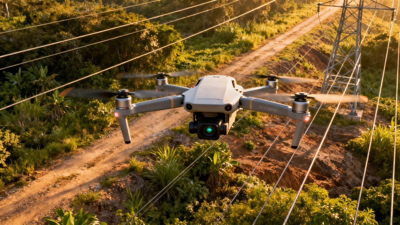
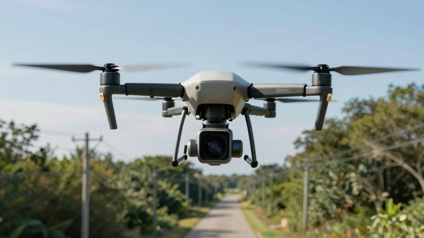
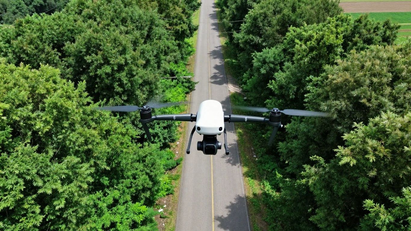
Let’s face it, traditional methods for mapping utility infrastructure can be slow, risky, and frankly, a bit of a headache. Think about crews out there, digging test holes, trying to figure out where everything is buried. It’s not exactly the safest or most efficient way to get things done. But now, we’ve got drones. These flying gadgets are changing the game for utility mapping, making things faster, safer, and way more accurate.
Precision Mapping For Enhanced Safety
Safety is always top of mind, right? When you’re dealing with underground lines or overhead power, one wrong move can be serious. Drones help us avoid putting people in harm’s way. Instead of sending crews into trenches or busy roads, we can get detailed information from the air. This means fewer risks for the workers on the ground.
- Reduces the need for manual, dangerous fieldwork.
- Provides a clear picture of the work area before any digging starts.
- Minimizes exposure to hazards like traffic or unstable ground.
Using drones for utility mapping means we can gather high-quality data without putting our teams in risky situations. It’s a smarter way to work.
Accelerating Pre-Construction Schedules
We all know that construction projects can get delayed easily. One big reason? Unexpected utility conflicts. Drones can capture detailed corridor-wide data, including LiDAR and photogrammetry, in just a few hours. This quick turnaround means engineers can get to work on designs faster, and stakeholders can approve plans sooner. It really helps keep the project moving forward. We’re seeing projects get approvals much quicker now, thanks to this aerial insight. You can get a good look at the whole area with drone mapping technology.
Meeting Accuracy And Regulatory Standards
When it comes to utility mapping, accuracy isn’t just a nice-to-have; it’s a must. Regulations often require very specific levels of precision, especially for subsurface utilities. Drones equipped with advanced sensors can achieve centimeter-level accuracy. This means the data we collect meets strict standards, like those outlined in ASCE 38-22. Plus, the processed data, like point clouds from drone-based lidar, can be delivered in formats that civil engineers and surveyors need for their design software, making compliance much simpler.
Advanced Aerial Corridor Mapping For Utilities
When we talk about mapping utility corridors, we’re really looking at those long, skinny areas – think pipelines, power lines, roads, or even rivers. Getting good data here is super important. Drones have totally changed the game for this. They can grab super detailed info, both visual and elevation data, all in one go. This means we get a much clearer picture of what’s going on.
High-Resolution Pipe Alignment
Imagine needing to dig up a water main. You don’t want to just guess where it is, right? Drones can create really accurate centerlines for these pipes. This helps the crews out in the field know exactly where to dig, making things safer and faster. They can even use thermal and acoustic sensors on the drone to help find leaks that are hard to spot, sometimes even before any pavement needs to be cut. It’s all about getting the right info to the right people.
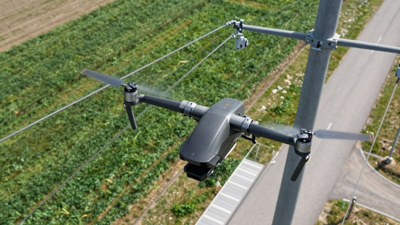
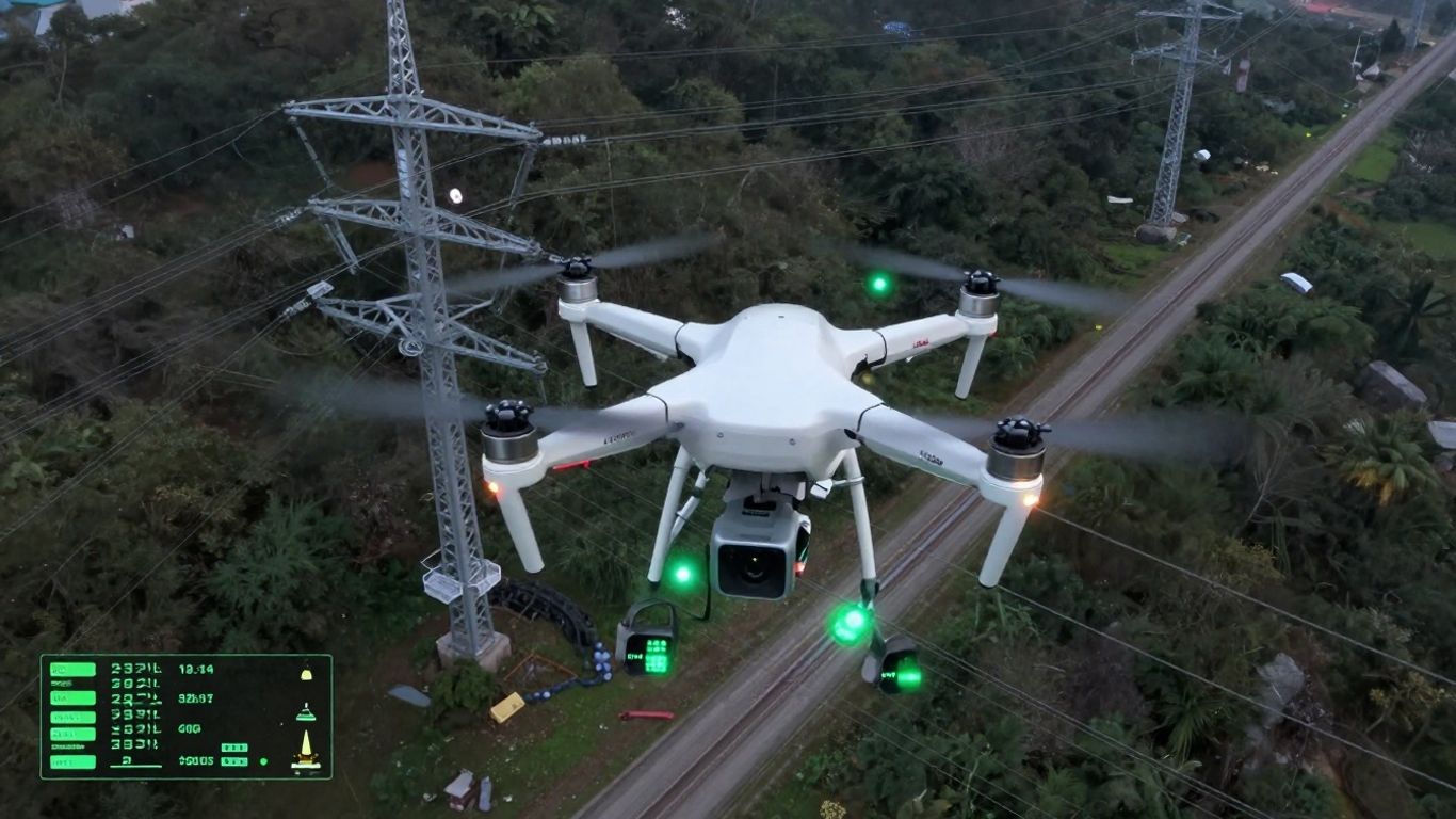
Power Line Corridor Mapping
Power lines have huge areas around them, called rights-of-way, that need constant attention. Drones can fly over these areas and capture a ton of data. This data helps with planning new lines, keeping existing ones in good shape, and managing the trees and plants nearby. We can check how far the wires are from the trees, for example, and plan trimming before any problems happen. This kind of mapping helps keep everything running smoothly and safely.
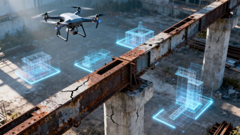
Underground Utility Detection And Clash Avoidance
Finding what’s buried underground before you start digging is a big deal. Drones can help spot these underground things early on. By combining data from LiDAR, which maps the surface really well, with Ground Penetrating Radar (GPR), which looks underground, we get a much better idea of where everything is. This helps avoid those really expensive mistakes where you accidentally hit a pipe or cable. It’s like having a map of the hidden stuff so construction can go off without a hitch. We can even take this 3D data and put it into design software to see if anything clashes before any dirt is moved.
Using drones for utility mapping means we get detailed information quickly. This helps crews work safer and avoids costly mistakes during construction. It’s a smarter way to plan and build.
Here’s a quick look at how different sensors help:
- LiDAR: Great for mapping the ground and above-ground stuff like poles and wires, even through trees.
- Photogrammetry: Captures detailed images for visual context and surface texture.
- GPR: Looks beneath the surface to identify buried objects like pipes and cables.
- Thermal Sensors: Spots temperature differences that can indicate leaks or other issues.
These tools, especially when used together, give us a really complete picture. For instance, the Leica MultiMapper is a system that can collect both images and LiDAR data at the same time, which is perfect for these kinds of corridor projects. It makes the whole process more efficient.
Leveraging Drones For Leak Detection And Infrastructure Health
When it comes to keeping our utility systems running smoothly, spotting problems early is a big deal. Drones are really changing the game here, especially for finding leaks and just generally keeping an eye on how our infrastructure is doing.
Thermal And Acoustic Correlation For Leaks
Finding leaks, especially in underground pipes, used to be a real headache. You’d often have to dig up large areas just to find a small problem. Now, drones equipped with special sensors can help pinpoint these issues much faster. They can use thermal cameras to spot temperature differences that might show where water is escaping, or acoustic sensors to listen for the tell-tale sounds of a leak. By combining these two types of data, we can get a much clearer picture of where a leak is located, often before it becomes a major problem. This means less digging, less disruption, and quicker repairs. It’s a pretty neat way to use technology to solve an old problem, making sure we can quickly address issues like those found in water main mapping drone missions.
Lifecycle Condition Monitoring
Beyond just leaks, drones are fantastic for keeping tabs on the overall health of utility assets over time. Think about things like valves, hydrants, or even manhole covers. We can schedule regular drone flights to capture images and data of these components. Over time, we can track any changes or signs of wear and tear. This helps us build a history for each asset, showing us how it’s degrading. This information is super useful for planning maintenance before something breaks down completely.
Asset Management And Maintenance Forecasting
All this data collected by drones feeds directly into better asset management. Instead of just reacting to problems, utilities can become more proactive. By understanding the condition of their assets and forecasting when maintenance might be needed, they can plan budgets and schedules more effectively. This approach helps extend the lifespan of infrastructure and reduces the chances of unexpected failures. It’s all about using the information we gather to make smarter decisions about maintaining our essential services.
Ensuring Compliance And Accuracy With UAV Data
When you’re working with utilities, accuracy isn’t just a nice-to-have; it’s a requirement. Things have to be right, and that’s where Unmanned Aerial Vehicle (UAV) data really shines. It’s not just about getting a picture from above; it’s about getting precise, reliable information that stands up to scrutiny.
As-Built Utility Verification
After everything’s installed, you need to know exactly where it is. This is where verifying the ‘as-built’ conditions comes in. UAVs can capture centimeter-level scans of newly laid pipes, conduits, and other infrastructure. This information is then used to create detailed records that match what’s actually in the ground, not just what was on the original plans. This step is pretty important for handover and future maintenance.
- Documenting post-installation locations with high precision.
- Meeting strict accuracy standards for utility mapping.
- Creating verified records for project closeout.
Regulatory-Ready Deliverables
Getting your data to meet all the necessary standards can be a headache. Thankfully, UAV workflows are designed to produce deliverables that are ready for regulatory bodies and project owners. This means stamped as-built maps and reports that satisfy municipal and owner requirements, cutting down on back-and-forth.
The ability to generate data that directly meets compliance benchmarks simplifies the approval process significantly.
Centimeter-Level UAV Scans
We’re talking about accuracy down to a couple of centimeters here. Using advanced sensors like LiDAR, combined with precise positioning systems, UAVs can map buried assets with a level of detail that was previously hard to achieve without extensive, time-consuming ground work. This precision is key for everything from avoiding clashes during construction to long-term asset management. It really helps keep projects on track and avoids costly mistakes. For power line inspections, this level of detail is also vital for assessing clearances.
Here’s a quick look at what that accuracy means:
| Feature | Typical Accuracy | Application |
|---|---|---|
| Horizontal Position | 2-3 cm | Pipe and conduit location |
| Vertical Position | 2-3 cm | Depth verification and grading |
| Feature Detail | High Density | Identifying manholes, valves, and connections |
Optimizing Utility Relocation And Planning
When it comes to moving existing utility lines, whether it’s for a new road, a building project, or even just upgrading old infrastructure, things can get complicated fast. Accurate planning is the name of the game here, and advanced aerial mapping is really shaking things up.
Utility Relocation Planning
Figuring out where everything is underground before you start digging is a big deal. Old maps aren’t always reliable, and sometimes things just get forgotten over the years. Using drones equipped with sensors like LiDAR and GPR gives us a much clearer picture of what’s actually beneath the surface. This detailed information helps in creating more realistic schedules and budgets for relocation projects. It means fewer surprises and less money wasted on unexpected discoveries. We can get a good look at existing alignments and then use that data to plan the best way to move things, making sure we don’t mess up service for anyone.
Alternative Route Modeling
Sometimes, the easiest path for a new project isn’t the one with the fewest underground utilities. Drones can help us map out different options for relocating lines. Imagine you need to move a water main. We can use drone data to model a few different potential new routes. This lets planners compare them based on cost, disruption, and technical feasibility. It’s like having a virtual sandbox to try out different scenarios before committing to one. This repeatable mapping process means we can explore multiple possibilities efficiently, helping to find the most cost-effective and least disruptive solution. It’s a smarter way to approach these complex moves.
Corridor Impact Assessments
Before any major work begins, it’s important to know how a proposed project will affect existing utility corridors. Aerial mapping provides a bird’s-eye view, literally, of the entire area. We can see where proposed construction might conflict with underground pipes, overhead power lines, or other critical infrastructure. This helps identify potential problems early on. For example, a new building foundation might be planned right where an important gas line runs. By visualizing these potential clashes using drone-generated data, project teams can adjust designs or plan for utility relocation proactively. This avoids costly delays and rework down the line. It’s all about seeing the big picture and planning ahead.
Here’s a quick look at how drone data helps in planning:
- Early Conflict Identification: Spotting potential clashes between new designs and existing utilities before construction starts.
- Accurate Cost Estimation: Getting a better handle on the expenses involved in relocating or protecting utility lines.
- Schedule Optimization: Creating more realistic timelines by understanding the complexities of the underground environment.
- Risk Mitigation: Reducing the chances of utility strikes and service disruptions.
The ability to capture high-resolution data from the air significantly reduces the guesswork involved in utility relocation. It allows for a more informed decision-making process, saving time and resources. This technology is changing how we plan and execute these necessary but often challenging projects.
The Role Of LiDAR And GPR In Subsurface Intelligence
When we talk about what’s happening underground, it’s easy to feel like we’re working in the dark. But that’s where technologies like LiDAR and Ground Penetrating Radar (GPR) really shine. They give us a clearer picture of what’s buried beneath the surface, helping to avoid nasty surprises during construction or maintenance.
Integrated GPR + Photogrammetry
Think of GPR as a way to ‘see’ through the ground. It sends radio waves down and listens for echoes that bounce back from different materials, like pipes or cables. When you combine this with photogrammetry from drones, which gives you a super detailed map of the ground above, you get a powerful tool. This fusion helps pinpoint the exact location and depth of underground utilities. It’s like having X-ray vision for the subsurface. This approach is a big step up from older methods that relied more on guesswork and digging test holes.
Digital Twin Creation With LiDAR
LiDAR, on the other hand, is fantastic at creating highly accurate 3D models of the surface and anything on it, even through dense vegetation. When you use LiDAR for utility corridors, you’re not just getting a basic map. You’re building a detailed digital replica, or ‘digital twin’, of the entire area. This model shows the precise location of above-ground assets like poles and towers, as well as the ground’s topography. This level of detail is invaluable for planning new infrastructure, assessing existing conditions, and understanding how everything fits together in a virtual space before any physical work begins. It allows for detailed analysis of clearances and potential conflicts.
Understanding Sensor Capabilities For Detection
It’s important to know what each sensor does best. GPR is your go-to for detecting buried objects and understanding their depth. LiDAR excels at mapping the surface geometry and above-ground features with incredible precision.
Here’s a quick rundown:
- GPR: Best for identifying subsurface utilities, mapping their depth, and detecting anomalies like voids or changes in soil density.
- LiDAR: Ideal for creating accurate 3D surface models, mapping above-ground infrastructure, and measuring clearances.
- Photogrammetry: Provides detailed visual context and can be used to create orthomosaics and 3D models of visible features.
By understanding these capabilities, utility companies can choose the right tools for the job, leading to more efficient and safer operations. For precise underground utility locating, systems like those offered by Kleinschmidt are designed for modern surveying needs.
Combining these advanced sensing technologies allows for a much more informed approach to managing underground infrastructure. It moves us away from reactive problem-solving towards proactive planning and risk mitigation, saving time and resources in the long run.
Streamlining Vegetation Management With Aerial Inspections
Keeping trees and other plants in check around utility lines isn’t just about making things look tidy; it’s a big part of keeping the power on and preventing problems. Traditionally, this meant a lot of boots on the ground, which can be slow and sometimes dangerous. But now, we’ve got drones, and they’re really changing the game for how utilities handle this.
Aerial Vegetation Management Strategies
Drones equipped with high-tech cameras, including infrared, can get a really close look at vegetation without anyone having to climb poles or walk through rough terrain. They can spot stressed trees or areas where plants are growing too close to power lines. This lets utility companies be proactive, trimming or removing vegetation before it becomes a real issue. It’s all about using smart data to manage growth and keep infrastructure safe. This approach moves beyond traditional methods by integrating advanced technology to identify and address potential risks posed by vegetation near utility infrastructure. The goal is to ensure reliable power delivery and minimize disruptions caused by overgrown or hazardous trees and plants. We’re talking about a much more targeted approach, saving time and resources.
Comprehensive Infrastructure Inspections
When we talk about inspecting infrastructure, drones offer a way to get a complete picture. They can fly over large areas quickly, capturing detailed visual and thermal data. This means we can spot not just vegetation issues but also other potential problems with the infrastructure itself. Think of it as a thorough check-up for the entire system. This allows utilities to maintain precise vegetation management, thereby enhancing the reliability of infrastructure. It’s about getting a clear view of everything that could affect operations.
LiDAR Scans For Encroachment Detection
LiDAR technology is particularly useful for spotting vegetation that’s getting too close to power lines. It creates a detailed 3D map of the area, making it easy to measure the exact distance between the lines and any encroaching branches. This kind of precise data helps utilities plan their trimming schedules more effectively. We can quickly identify problem spots and prioritize where crews need to go. It’s a big step up from just guessing based on visual checks. This capability highlights the importance of a meticulously planned management strategy to protect infrastructure integrity. By integrating aerial inspections into their methodology, infrastructure inspections are more accurate and less intrusive. This allows for a broader scope of infrastructure assessment. The utility sector finds itself at the forefront of a technological revolution, representing a substantial shift in how inspections are executed and infrastructure health is maintained.
Wrapping It Up
So, we’ve talked a lot about how using drones for mapping utility corridors is a pretty big deal. It’s not just about getting cool aerial shots; it’s about making work safer, faster, and honestly, just smarter. From spotting potential problems before they become major headaches to making sure construction crews have the right info to avoid digging into the wrong thing, this tech really changes the game. It helps keep things running smoothly, saves money, and makes sure everything is up to code. It’s clear that this kind of advanced mapping is becoming less of a ‘nice-to-have’ and more of a ‘got-to-have’ for anyone serious about managing utility infrastructure effectively.
Frequently Asked Questions
Can drones completely replace old ways of finding underground pipes?
Not entirely. Drones are great at pointing out the trickiest spots where pipes might cross, so you don’t have to dig as many test holes. But, for the most crowded areas and final checks, digging a small hole is still the best way to be sure about the depth and get the okay.
How do drones find pipes hidden under roads or dirt?
Drones use special tools. They can see things like valve covers on the surface. They also use tools like GPR (ground-penetrating radar) or sound sensors to figure out how deep the pipes are. When you put all this information together, you get a clear picture of where the pipes are and how deep they lie.
Do drones help find leaks in pipes that have water flowing through them?
Yes! Drones can use heat-sensing cameras to spot unusual temperature spots. They can also use listening devices to hear strange vibrations. When used together, these tools help pinpoint where leaks might be, so workers can check those specific areas.
What kind of files do you get from drone mapping for building projects?
You get different types of digital files, like 3D point clouds and flat map images. You also get lines showing where pipes and other utilities are. These files can be easily used with popular design software like AutoCAD or Revit, making it simple to see where everything is before you start building.
How often should drones fly over utilities to check their condition?
Usually, flying over every three months is good. But if there’s a lot of plant growth near the lines or if construction is happening nearby, it might be better to fly every month to get the most up-to-date information.
Are drones safe to fly near power lines?
Yes, they are designed to be safe. Drones use sensors that let them fly at a safe distance from the power lines. They also have smart systems that create invisible boundaries to make sure they don’t get too close, even if it’s windy.