Drone flight restrictions in Monterey County: Safe and Legal
Key Takeaways
Drone flights in Monterey County require more than checking whether the sky looks clear. A legal flight depends on federal rules, local land-use policies, current airspace notices, and the conditions at the launch site.
- Check FAA airspace requirements before every flight.
- Treat airports, heliports, military facilities, and emergency activity as serious hazards.
- Confirm permission before launching from parks, beaches, or private property.
- Commercial filming may require Part 107 compliance, permits, insurance, and location approvals.
- Recheck temporary flight restrictions when events or emergency operations are underway.
Understanding the rules that govern drone flights in Monterey County
The phrase drone flight restrictions monterey county covers several overlapping systems rather than one single rulebook. Federal aviation rules control the aircraft and the operation, while state, county, and city authorities may control where a pilot can launch, land, or conduct filming. A responsible plan considers all of those layers before the drone leaves the ground.
How FAA regulations apply to recreational and commercial pilots
The FAA treats recreational and commercial operations differently, even when the same aircraft is used. A hobby pilot flying for enjoyment must follow the applicable recreational requirements, while a pilot operating for work, compensation, or business generally works under Part 107 and its associated obligations. The Monterey Peninsula Airport District’s UAS information is a useful local starting point, but pilots should confirm current requirements through official FAA resources.
Registration, pilot qualifications, operating limits, and required authorizations can all matter. The purpose of the flight is a useful first question: if the flight supports a client, production, inspection, listing, or other business activity, do not assume that calling it a personal flight changes its legal character.
The difference between federal, state, county, and local restrictions
Federal rules govern the national airspace, but they do not automatically grant permission to use every piece of land as a launch site. California agencies, Monterey County, municipalities, park departments, property owners, and event organizers may impose separate conditions. A flight can therefore be acceptable from an FAA perspective and still violate a local property or park rule.
Before planning a route, identify the owner or manager of the launch and landing area. Ask about permits, operating hours, insurance, access restrictions, and any temporary closure. Written confirmation is preferable when the flight is commercial or likely to attract public attention.
Why airspace classifications matter before takeoff
Airspace classification affects whether a pilot may fly without additional coordination, whether authorization is required, and what operating limits apply. Proximity to an airport is not the only issue; nearby heliports, military activity, and special-use areas can also change the planning picture. A visual check of the horizon cannot reveal those restrictions.
Use an FAA-recognized planning tool and compare it with current notices before choosing a launch point. Record the location, altitude plan, and authorization information so the decision can be explained later if conditions change.
When a waiver, authorization, or additional approval may be required
Some operations fall outside ordinary limits because of their altitude, location, timing, visibility conditions, people involved, or method of operation. In those cases, a waiver or airspace authorization may be necessary, and a land manager or public agency may require a separate approval. These permissions are not interchangeable: an FAA authorization does not replace a county permit, and a property owner’s consent does not clear controlled airspace.
Build approval time into the project schedule rather than treating it as a last-minute formality. Keep copies of approvals, conditions, insurance documents, and communications with the pilot so the entire operation has a clear paper trail.
Checking airspace near Monterey, Carmel, and surrounding communities
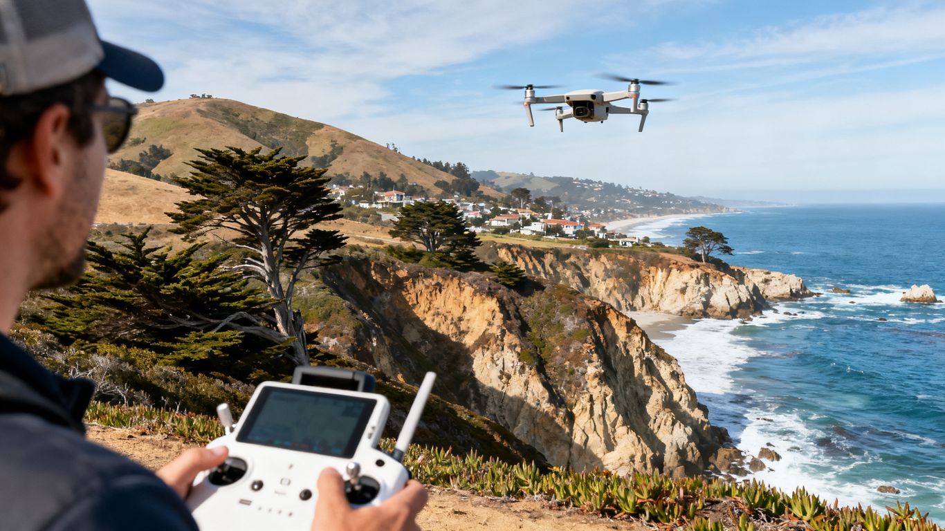
Monterey, Carmel, Pacific Grove, Marina, Salinas, and nearby coastal communities include busy aviation corridors and varied land uses. Airspace can also change temporarily for events, emergency response, or other safety reasons. Check the exact launch coordinates instead of relying on a broad city label.
![Drone pilot checking Monterey coastal airspace]
(image:img-1)
How to identify controlled airspace around Monterey Regional Airport
Monterey Regional Airport is a central consideration for flights on the peninsula. Controlled airspace around an airport can require authorization, and a drone that appears visually distant may still be within an area where coordination is needed. Start with the precise launch point, intended altitude, and planned direction of travel.
Do not treat a map boundary as a suggestion. If the tool identifies controlled airspace or an airport-related requirement, resolve it before arriving with the aircraft. Airport and airport-district guidance can supplement, but not replace, the FAA’s current operating information.
Using FAA-approved airspace maps and authorization tools
A reliable workflow uses current FAA-approved maps or authorization tools, then checks for changes close to the flight time. Save a screenshot or record the authorization reference, since a map result can change after the initial planning session. A second review on the morning of the flight is sensible for coastal locations where plans often shift with weather and activity.
For recurring work, keep a location file with coordinates, maximum planned altitude, pilot details, and the date of each airspace check. This makes repeat flights easier to review without assuming that yesterday’s clearance still applies today.
Reviewing temporary flight restrictions for major events
Temporary flight restrictions can supersede a normal airspace plan. Monterey Car Week is a good example: event-related restrictions may cover locations around WeatherTech Raceway Laguna Seca, Quail Lodge, or Pebble Beach. The Monterey Car Week drone restrictions page describes federally issued restrictions associated with major events, but pilots should verify the current notice and its exact boundaries before flying.
Event notices may include specific dates, times, radii, and enforcement consequences. Treat those details as operational limits, not background information. If the restriction is active, postpone the flight or obtain whatever authorization the notice permits; do not attempt to work around it by flying from a different nearby street.
Accounting for heliports, military facilities, and emergency operations
Small airports and heliports can be easy to overlook in a neighborhood or rural setting. Military facilities and emergency operations add another layer of sensitivity, particularly when aircraft are using an area unexpectedly. A planned route should leave room to avoid these operations rather than assuming every low-altitude flight is harmless.
Listen for local advisories, watch for response aircraft, and be prepared to land immediately when an emergency operation develops. A safe pilot treats changing aviation activity as a reason to pause, not as an obstacle to work around.
Navigating parks, beaches, and protected areas
Coastal access does not equal unrestricted drone access. The person controlling the land may regulate takeoff and landing even when the airspace above it is governed federally. Beaches, dunes, cliffs, wetlands, and public trails also bring practical concerns involving visitors, wildlife, and fragile habitats.
Drone considerations at California state parks and beaches
California state parks may review drone activity under park-specific policies, and filming requests can receive case-by-case treatment. A beach managed by a state agency is not automatically available simply because it is open to the public. Ask the relevant park office about launch permissions, filming permits, insurance, hours, and any seasonal closures.
The same caution applies to access points, parking areas, and adjacent trails. If the aircraft must cross a managed property to reach an appropriate launch site, permission may still be necessary even when the intended flight path is offshore.
Restrictions near national park and federal recreation areas
Federal recreation areas can have their own rules about launching, landing, and operating unmanned aircraft. Those rules may be stricter than the general FAA requirements, particularly in areas managed for conservation, visitor experience, or public safety. Confirm the land manager’s policy before traveling to the site.
Do not infer permission from another pilot’s video or from an old social media post. Conditions, closures, and management decisions can change, and a scenic overlook may sit within a different jurisdiction than the road used to reach it.
Local rules for county parks, city parks, and open spaces
Monterey County and its cities may manage parks, open spaces, sports fields, and coastal property under different departments. Each may have different permit forms, insurance requirements, and restrictions on launching or landing. The most useful question is not simply whether drones are allowed, but under what conditions and by whose approval.
For a commercial shoot, request written guidance and name the exact property. For personal flights, choose a location where the land manager’s rules are clear, keep away from crowds, and avoid treating an absence of posted signage as permission.
Protecting wildlife and avoiding sensitive nesting or marine habitats
Bird colonies, marine mammals, nesting areas, and seasonal habitat can be disturbed by a drone even when no aviation rule is technically breached. Noise and close approaches may cause animals to flush, abandon a resting area, or change feeding behavior. Coastal wind can also push a small aircraft toward wildlife faster than expected.
Give sensitive areas a wide berth and follow posted closures or agency instructions. If the purpose is environmental documentation, coordinate with the managing agency and use a method that does not create the disturbance the project is meant to study.
Following rules for filming and commercial drone operations
Aerial footage for a client, production, property listing, construction project, or promotional campaign should be planned as a commercial operation. That means the pilot must address FAA requirements alongside location permissions, public safety, privacy, and production logistics. A polished shot is not worth an avoidable violation or an unsafe crowd situation.
![Commercial drone filming along Monterey coastline]
(image:img-2)
When recreational flying becomes a commercial operation
The dividing line is the purpose of the flight, not the size of the drone or the quality of the camera. If the flight supports a business activity or is performed for compensation, the operator should assess Part 107 requirements and any applicable registration or Remote ID obligations. A pilot who is simply practicing may be recreational; a pilot gathering footage for a paying client is operating in a different context.
Make that determination before accepting the assignment. The construction drone photography guide offers broader planning context for aerial work, including regulatory considerations, but the actual legal assessment still belongs in the project’s flight plan.
Permits and approvals for filming in Monterey County
Filming on public or managed property may require a permit, proof of insurance, a site plan, and an explanation of how people, vehicles, and nearby operations will be protected. State Parks and Caltrans may review drone requests case by case, and timelines can extend beyond the production team’s preferred schedule. The Monterey County filming guidance describes this approval context and should be checked alongside current agency instructions.
A local aerial provider may help organize production materials, but the pilot and production team remain responsible for confirming the permissions that apply. 1st Choice Aerials describes services that include regulatory compliance documentation, so a provider with that kind of documented workflow may be useful when a project needs organized records.
Coordinating with property owners, venues, and public agencies
A venue agreement is not automatically an airspace authorization, and an FAA approval is not automatically permission to stand on private property. Coordinate separately with the property owner, venue manager, local agency, airport or heliport operator when relevant, and anyone responsible for public access. Put the approved launch area and operating window in writing.
For repeat aerial documentation, 1st Choice Aerials describes FAA-certified pilots and weekly or bi-weekly aerial imagery for construction projects. That kind of recurring work still requires a fresh review when the site, airspace, schedule, or surrounding activity changes.
Managing privacy, crowd safety, and filming-location restrictions
A commercial flight should have a clear plan for people who are not part of the production. Keep the aircraft away from crowds and moving vehicles unless the operation meets the applicable requirements, and avoid capturing private spaces unnecessarily. A spotter, defined perimeter, emergency landing area, and weather cutoff can make the difference between a controlled shoot and a rushed one.
Choose the shot around the safety plan, not the other way around. If a crowd grows, a venue changes its access rules, or a crew member cannot maintain the planned separation, pause and revise the operation before continuing.
Preparing for special events and temporary restrictions
Special events can change both the legal and practical risk of a flight. Roads close, crowds gather, aircraft arrive, and agencies may issue temporary restrictions with little value in a plan based on last year’s conditions. Event planning should therefore include a current airspace check and a realistic alternative location or date.
Why events such as Monterey Car Week can change flight access
Large events concentrate people, vehicles, media activity, and aircraft in a small area. Monterey Car Week venues may also receive temporary federal flight restrictions, and local authorities may actively monitor the restricted area. A flight that would normally be manageable can become prohibited or unsafe once an event is underway.
The restriction may apply even if the pilot is not filming the event itself. Check the notice for the exact geography and time window, then keep the aircraft clear unless the operation is expressly authorized.
How to verify current restrictions before each flight
Use the FAA’s current notices and authorization tools, then check information from the event organizer, airport district, land manager, or local public-safety agency as appropriate. Confirm the date and time in local time, since a restriction that expires in the evening may still affect an earlier setup or return flight.
A useful final review asks four simple questions:
- Has the airspace status changed since planning?
- Is the launch site still open and authorized?
- Are emergency or event aircraft active nearby?
- Can the flight be canceled without creating pressure to continue?
These questions turn a one-time map check into a decision made with the actual conditions in view. If any answer is uncertain, delay the flight while the uncertainty is resolved.
Planning around stadiums, concerts, parades, and public gatherings
Crowds create hazards even when no temporary flight restriction is posted. People may move unpredictably, temporary structures can obstruct a landing, and event staff may not know that a pilot has permission to operate. Stadiums, concerts, parades, and public gatherings should be treated as high-coordination environments.
Work with the venue or event authority on a controlled operating area, crowd separation, and communications plan. If those arrangements cannot be established, select a different location rather than trying to capture the shot from the edge of the gathering.
What to do when emergency response aircraft are operating nearby
Emergency aircraft always take priority over a planned drone flight. Firefighting, medical evacuation, law enforcement, and search-and-rescue operations can appear quickly and may use routes that were not visible during preflight planning. Land immediately when an emergency aircraft approaches or when an agency instructs you to clear the area.
Never interfere with response work or assume that a small drone will be easy for a pilot to see. Preserve the aircraft, move away from the operational area, and wait for clear confirmation that normal activity can resume.
Building a preflight compliance checklist
A short checklist helps prevent a legal decision from being replaced by habit. It should cover the pilot, aircraft, airspace, land, people, weather, and records. The checklist is most useful when it is completed for every flight, including familiar routes and routine assignments.
Confirming pilot certification, registration, and Remote ID requirements
Confirm that the pilot holds the qualification appropriate to the operation and that the aircraft’s registration and Remote ID status are current when required. Recreational and commercial flights may follow different FAA pathways, so do not copy the settings from a previous job without checking the purpose of the new flight.
Keep the relevant documentation accessible to the pilot. If a client, venue, or agency asks for proof, a complete response should not depend on searching through old emails while the crew is waiting to launch.
Reviewing weather, visibility, and operating limits
Check wind, gusts, visibility, precipitation, temperature, and the effect of coastal conditions on battery life and control. FAA operating limits still apply when the weather changes after takeoff, and a forecast that looks acceptable at sunrise may not remain acceptable later. Define a hard stop before the aircraft is in the air.
Do not let a paid schedule turn a marginal forecast into a flight decision. A rescheduled shoot is usually easier to manage than an aircraft recovery, damaged property, or an incident involving people.
Checking launch-site permissions and nearby hazards
Confirm that the launch and landing point is open, permitted, and suitable for the aircraft. Look for power lines, trees, roads, pedestrians, construction equipment, animals, antennas, and unexpected aircraft activity. A clear route on a map can still contain hazards that only appear during a site walk.
If the site is managed by a county, city, park agency, venue, or private owner, save the permission and any conditions with the flight records. Keep the planned launch area consistent with the permission rather than moving a few hundred feet without checking again.
Documenting approvals, notifications, and flight plans
A concise record should identify the pilot, aircraft, date, launch coordinates, planned altitude, airspace review, land permission, weather check, and any required notification or authorization. For recurring aerial work, 1st Choice Aerials describes delivering high-resolution aerial imagery, orthomosaic maps, and 3D models through its construction progress services; those outputs are separate from the legal approvals, which should remain documented in the project file.
The record does not need to be elaborate to be useful. It should make clear what was checked, when it was checked, who approved access, and what conditions would cause the flight to stop.
Responding safely to changing conditions or enforcement activity
A compliant flight can become unsafe when wind rises, a crowd enters the operating area, a helicopter approaches, or an officer or land manager directs the pilot to stop. Land immediately when required, keep communications calm, and do not argue while an active safety concern is unfolding.
Afterward, document what changed and whether the flight plan needs revision. A careful pilot treats enforcement contact or an unexpected hazard as information for the next flight, not as a reason to take greater risks.
Conclusion
Safe drone flying in Monterey County comes down to checking every layer that applies: FAA rules, current airspace notices, land-manager permissions, event restrictions, environmental concerns, and the conditions on the ground. Plan with enough time to obtain approvals, keep a written record, and be willing to cancel when circumstances change. That approach protects people, property, wildlife, and the opportunity to fly again.
Frequently Asked Questions
Do I need FAA approval to fly a drone near Monterey Regional Airport?
You may need airspace authorization depending on the exact location, altitude, and current airspace status. Check an FAA-approved tool before every flight and follow any airport-related requirements it identifies.
Can I launch a drone from a Monterey County beach?
Not necessarily. The beach may be managed by a city, county, state agency, or federal authority, and that land manager may restrict launching, landing, or filming. Confirm the applicable property rules first.
Are drone flights allowed during Monterey Car Week?
They may be restricted around event locations and during specified time periods. Check the current temporary flight restriction and event guidance rather than relying on a prior year’s information.
Is filming with a drone automatically commercial?
The purpose of the flight matters. Footage gathered for a client, business, compensation, or promotional activity generally requires the pilot to evaluate commercial operating requirements.
Can I fly a drone over a public gathering?
Crowds create significant safety and regulatory concerns. Do not fly over or near a gathering unless the operation meets all applicable requirements and has a carefully controlled safety plan.
What should I do if a helicopter approaches during my flight?
Yield immediately and land or move out of the area as safely and quickly as possible. Emergency and other crewed aircraft have priority, and the drone should never interfere with their operation.
How often should I check drone restrictions?
Check before each flight, even when using a familiar location. Airspace notices, event restrictions, closures, weather, and emergency operations can change from one day to the next.