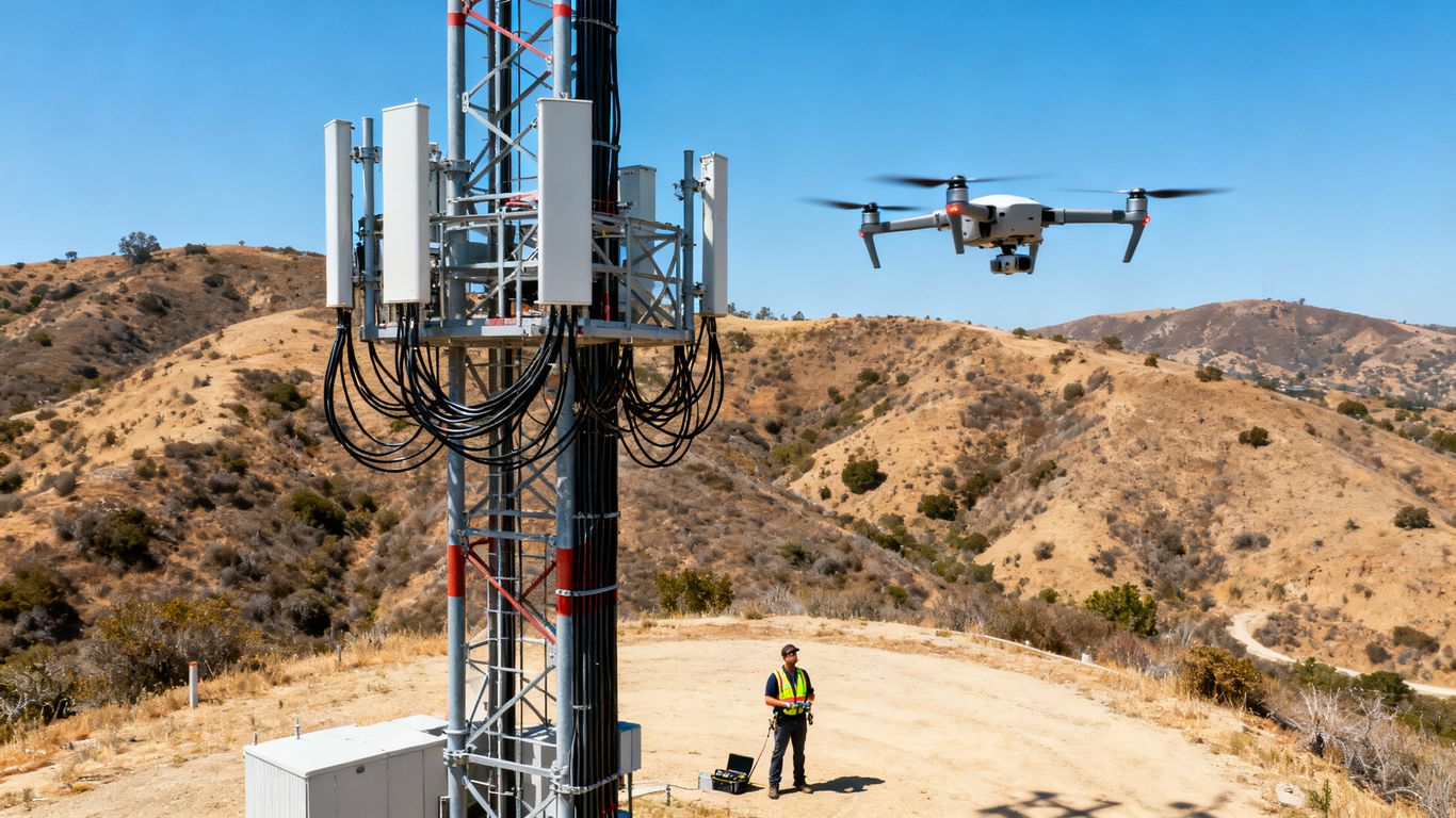
Cell tower drone inspection California: A practical guide to safer, faster site assessments
Key Takeaways
A cell tower drone inspection california project can give owners a safer, more repeatable view of difficult-to-reach infrastructure. The useful result is not simply a flight; it is organized evidence that helps qualified professionals decide what needs attention next.
- Drones can document tower steel, antennas, mounts, cables, equipment, and surrounding site conditions from the ground.
- Commercial operations must follow FAA requirements and account for airspace, people, property, privacy, and local site rules.
- A good inspection starts with a defined scope, documented site conditions, careful flight planning, and suitable weather.
- High-resolution imagery can reveal visible corrosion, missing hardware, cable damage, obstructions, and other maintenance concerns.
- Drone imagery supports inspection work but does not replace engineering judgment, hands-on examination, or repairs.
What cell tower drone inspection involves in California
A cell tower drone inspection uses an unmanned aircraft to collect close, consistent visual information while the pilot and inspection team remain on the ground. In California, the work often takes place around active facilities, roads, homes, commercial properties, or environmentally sensitive land, so planning matters as much as the aircraft. The objective is to produce evidence that can be reviewed, shared, and compared over time. For owners and operators, that may mean a clearer maintenance plan without putting a climber on the structure for every initial assessment.
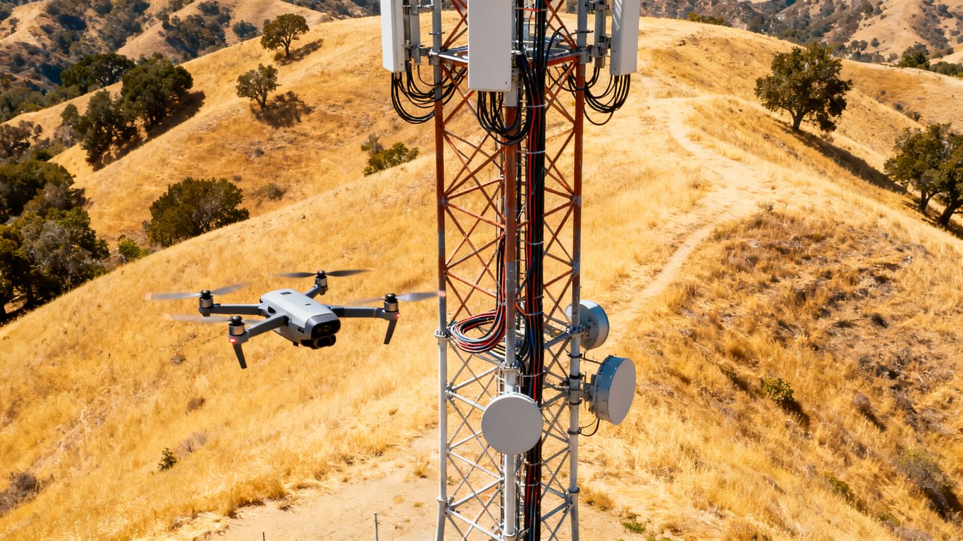
The exact scope depends on the tower type, the client’s inspection standard, and whether the flight is intended as a visual screening exercise or part of a broader engineering program. A capable provider should define those boundaries before arriving onsite rather than treating every tower as the same assignment.
The structures and components drones can assess
A drone can photograph lattice towers, monopoles, rooftops, platforms, antenna mounts, transmission lines, coaxial cable runs, access ladders, and visible hardware. It can also document cabinets, generators, meters, fencing, guy wires, and the ground immediately around the compound when those items fall within the agreed scope. Different viewpoints matter: a level view may show a loose connection, while a higher or reverse-angle view can reveal a concealed bracket or obstruction.
The resulting images are most useful when they identify where each observation belongs on the structure. A photo without location, direction, or context may be visually impressive but difficult to act on. Providers should therefore explain how images will be organized and how the inspection team will distinguish tower components from unrelated background conditions.
Common inspection goals for tower owners and operators
Inspection goals commonly include documenting current condition, supporting maintenance planning, checking work after a repair, and creating a visual record for future comparison. An owner may want to understand whether corrosion is isolated or widespread, while an operator may be focused on antennas, mounts, cable routing, or access concerns. The same flight can support several questions, but only if those questions are agreed upon before data collection.
A practical scope usually states the assets to be captured, the level of detail expected, the required deliverables, and any areas that cannot be safely approached. That clarity prevents a common disappointment: receiving many images that do not answer the decision-maker’s actual question.
When drone inspections are preferable to climbing
Drones are often preferable for an initial visual review when the tower is tall, difficult to access, surrounded by hazards, or spread across many sites. Ground-based capture can reduce exposure to fall hazards and may allow a team to screen conditions before deciding whether a climber, electrician, or engineer needs to work at height. It can also make recurring documentation easier when the same viewpoints and boundaries are used each time.
The choice is not simply drone versus climber. In many programs, the drone performs the broad visual pass and hands-on specialists address selected findings. That sequence can focus costly access work on locations where it is genuinely needed, while preserving a dated visual record of the broader asset.
Limits of visual drone inspections
A drone inspection is limited by line of sight, lighting, wind, weather, aircraft access, camera resolution, and the geometry of the structure. Paint may hide early corrosion, a connection may look intact from one angle, and an image cannot by itself establish the load-bearing capacity of a member. Thermal or other specialized data can add context, but it still requires appropriate interpretation.
The report should separate visible observations from conclusions that require testing or professional analysis. Clear limitations protect decisions by showing what was seen, what was inaccessible, and what follow-up remains necessary.
California regulations and airspace requirements
A commercial drone flight in California sits within a federal aviation framework and a local operating environment. The operator must consider the aircraft, pilot, airspace, people on the ground, property access, and the specific tower site. A compliant plan is more than checking a map on the morning of the flight; it connects the rules to the actual location and task. Requirements can also change when the flight is near an airport, a road, a school, a public event, or sensitive habitat.
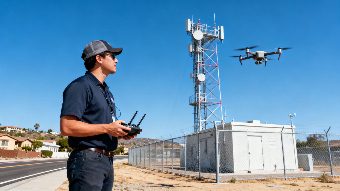
Owners should ask the provider to explain the approvals, restrictions, and contingencies that apply to the proposed work. A written record of that review makes coordination easier when multiple parties share responsibility for the property or equipment.
FAA rules for commercial drone operations
Most commercial drone inspection work is conducted under FAA rules for small unmanned aircraft, commonly including Part 107 operations. The operator must follow applicable limits for airspace, visibility, people, moving vehicles, altitude, and operating conditions, unless an applicable authorization or waiver changes the requirement. Aircraft registration and Remote ID obligations may also apply depending on the aircraft and operation.
The project plan should identify who is responsible for airspace review and how the team will respond if conditions change. A provider should never imply that a client’s permission to access land automatically authorizes the flight itself; property access and aviation authority are separate questions.
Remote pilot certification and operational compliance
The remote pilot in command is responsible for conducting the operation in accordance with applicable rules and for making the final go/no-go decision. Certification is only one part of readiness. The operator also needs current procedures, aircraft checks, battery planning, communications, emergency actions, and a clear understanding of the site boundaries.
Insurance and documentation deserve the same attention. A useful reference for project teams is this commercial drone inspection guide, which places aerial data collection in the wider context of safety, planning, and decision support. The specific coverage and documentation required for a tower assignment should still be confirmed directly with the provider and site owner.
Airspace restrictions near airports and populated areas
Cell towers are often located where aviation and ground risks overlap. Nearby airports, heliports, controlled airspace, dense neighborhoods, roads, and active work areas can affect the flight plan. The pilot may need an authorization, a visual observer, a controlled operating area, or a different time and direction of approach.
People who are not part of the operation should not be treated as incidental background. The plan should address where workers, residents, drivers, and visitors may be, how they will be kept clear, and what happens if someone enters the control zone. Those details are especially important when the camera must move close to a tower in a populated setting.
California privacy, trespass, and environmental considerations
A tower inspection can capture neighboring homes, private yards, businesses, roads, and people. The operator should limit collection to what the assignment requires, avoid unnecessary surveillance, and establish who may receive and retain the imagery. Written permission to enter a property is also distinct from permission to collect images beyond the work area.
Local ordinances, landowner requirements, park rules, school policies, and environmental restrictions may add practical limits. A provider should review the site with the owner before flight, document permissions, and avoid assuming that a familiar tower location has no special conditions.
How a cell tower drone inspection is conducted
A disciplined inspection is built in stages: define the question, understand the site, plan a safe flight, capture enough detail, and turn the files into usable findings. The pilot and the inspection reviewer may be different people, so the handoff between flight work and analysis needs to be explicit. Good records make it easier to explain why a flight was performed a certain way and whether a missing view was a deliberate safety decision.
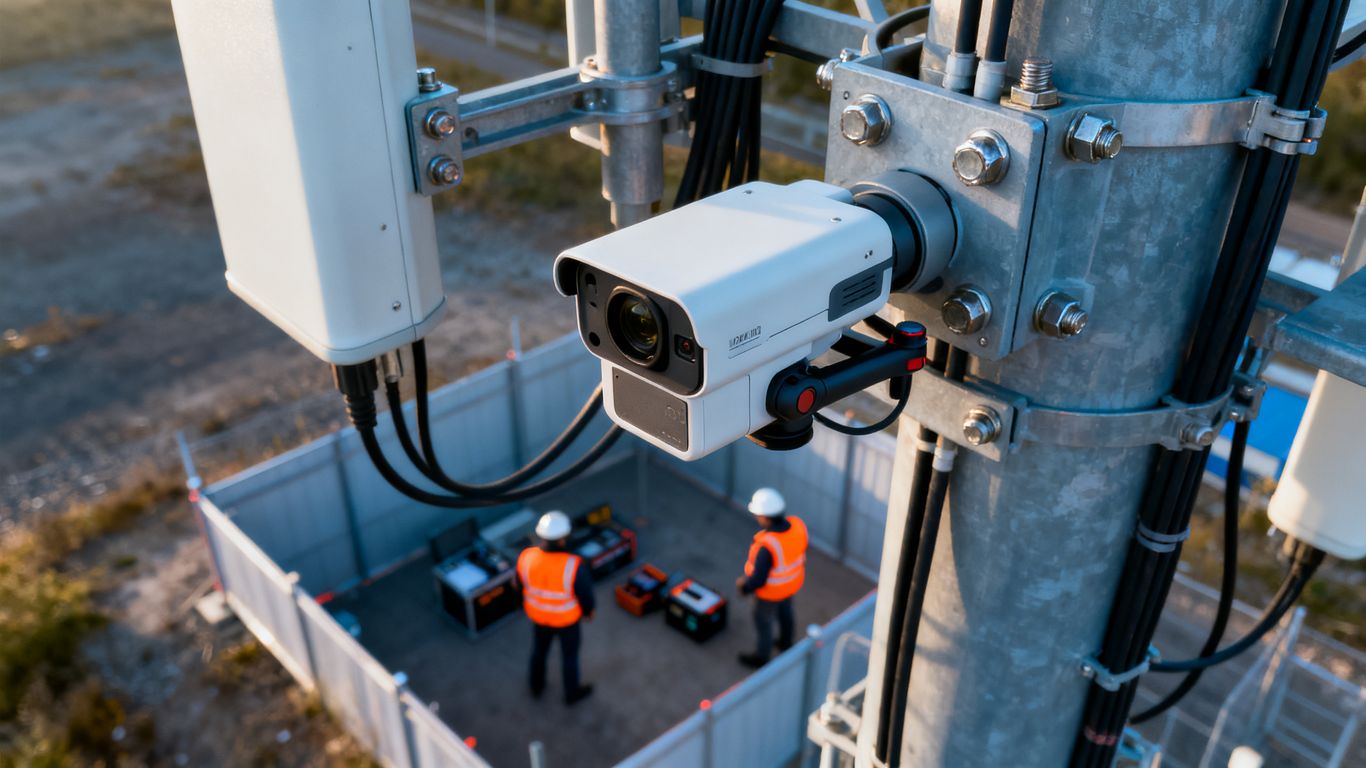
The process should be repeatable without becoming rigid. Towers differ in height, equipment density, surrounding terrain, and operational constraints, so the plan must leave room for a controlled response to actual conditions.
Pre-inspection planning and site documentation
Before the flight, the team should confirm the tower location, structure type, access route, client contacts, equipment status, inspection objectives, and expected deliverables. Existing drawings, prior reports, photographs, and known maintenance issues can help the pilot understand what needs special attention. The site visit should also identify launch and recovery areas, hazards, fences, overhead lines, and places where people may gather.
A concise preflight record can include:
- The asset boundary and components included in the inspection.
- Known hazards, access permissions, and nearby people or traffic.
- Required viewpoints, image detail, file naming, and report format.
- Weather limits, communications procedures, and contingency actions.
That list is not a substitute for judgment, but it gives the crew a shared starting point. It also helps the client see whether the proposed work matches the intended inspection question.
Flight paths, control zones, and weather checks
The flight path should account for the tower’s shape, antennas, guy wires, cables, nearby structures, and the aircraft’s maneuvering limits. The pilot should establish a control zone on the ground and confirm who can enter it. Wind, rain, glare, smoke, low light, and temperature can affect both safety and image quality, so the decision to fly should be based on conditions rather than a fixed appointment alone.
A careful operator may change the route, postpone a portion of the work, or stop entirely if the planned separation cannot be maintained. That flexibility is part of a professional inspection, not a sign that the plan failed.
Capturing high-resolution photos and video
Still photographs are often best for documenting specific defects because they can be reviewed closely and connected to a location on the tower. Video can provide continuity, context, and a useful record of the flight path. The capture plan should include overlapping views, multiple angles where safe, enough distance to understand the component, and closer views when a feature warrants examination.
The term high resolution should not be treated as a guarantee that every defect will be visible. Focus, motion, sunlight, obstructions, compression, and distance all influence the result. A reviewer should flag uncertain imagery and request another view when conditions allow rather than turning ambiguity into a confident finding.
Managing inspections around live equipment and workers
The tower may remain operational during the inspection, and workers may be repairing equipment, driving through the compound, or performing unrelated tasks. The crew should coordinate with the site contact before launch, identify energized equipment and restricted areas, and keep the aircraft and people within the approved operating plan. No one should assume that a drone can safely approach an antenna or cable simply because the camera needs a closer image.
Ground communication matters. A spotter or site representative can help identify changing conditions, but responsibility for the aircraft and flight decision remains with the designated operator. If work conditions shift, the inspection should pause until the new risk is understood.
Reviewing and organizing inspection data
After capture, files should be checked for completeness, focus, exposure, duplication, and location context. The reviewer can sort imagery by tower section or component, connect observations to photographs, and separate routine views from potential findings. A clear report should explain the observation, its location, supporting image, confidence, and suggested next step without pretending to perform an engineering determination it was not commissioned to make.
Consistent naming and storage make repeat inspections much more valuable. A dated archive can show whether a condition is stable, worsening, or already addressed, provided later flights use sufficiently similar viewpoints and documentation standards.
Defects drones can identify on cell towers
Drones are especially useful for visible conditions that can be photographed from a safe distance. They can help reveal patterns across the structure and surrounding compound that are easy to miss during a narrow ground-level review. The inspection team still needs to distinguish a clearly visible defect from a possible concern that requires closer examination or testing.
The following table illustrates how a visual observation might be organized for review. It is a starting framework, not a repair specification.
| Area reviewed | Visible condition to document | Typical follow-up question |
|---|---|---|
| Structural steel | Rust, coating loss, bending, or damaged members | Does an engineer need to assess capacity or repair scope? |
| Connections | Loose, missing, or displaced hardware | Is torque verification or hands-on access required? |
| Antennas and mounts | Shifted equipment, cracked components, or damaged brackets | Has performance or alignment been affected? |
| Cables and lines | Sagging, abrasion, poor routing, or exposed sections | Does the cable need protection, replacement, or testing? |
| Compound and surroundings | Vegetation, debris, standing water, or access problems | Could the condition affect safety, access, or operations? |
Organizing findings this way keeps the report tied to decisions. It also helps the owner send the right issue to the right professional instead of treating every photograph as an equal priority.
Corrosion, rust, and damaged structural members
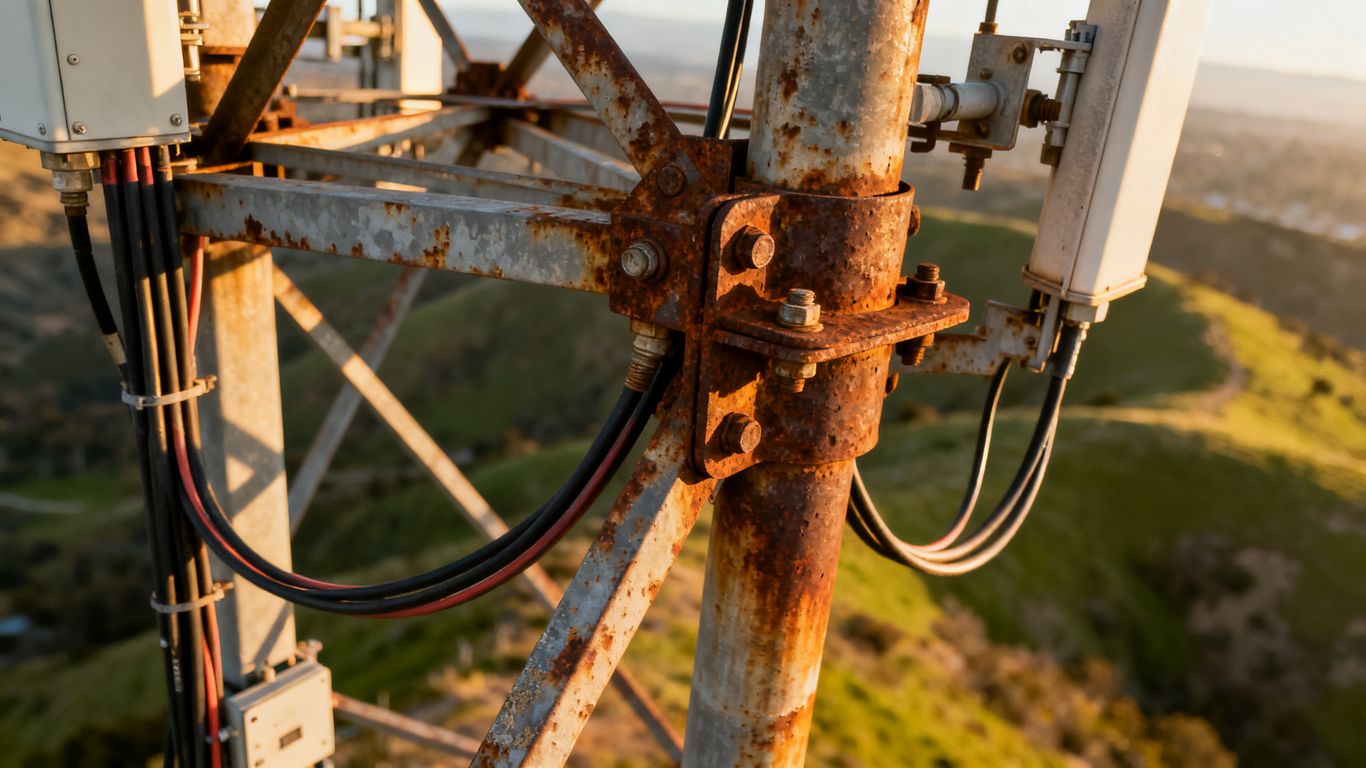
Close imagery may reveal coating failure, surface rust, corrosion around joints, bent members, cracked weld areas, or other visible changes in structural steel. Lighting and angle can affect how severe a condition appears, so the report should retain the original context and avoid overstating what a photograph proves.
Where corrosion appears extensive, hidden, or structurally significant, the drone record can help an engineer or qualified inspector target the follow-up. It is valuable evidence, but it is not a substitute for the examination or calculations needed to determine structural adequacy.
Loose bolts, missing hardware, and connection issues
High-resolution views can document bolts, clips, brackets, plates, and other connection components when they are visible and accessible to the camera. A missing washer or displaced piece may be obvious in one view and concealed in another, which is why planned angles and a reviewer familiar with tower assemblies matter.
A visual indication should lead to a controlled next step. The appropriate response could involve a closer inspection, torque verification, maintenance record review, or engineering assessment rather than an immediate conclusion about failure.
Antenna, cable, mount, and coaxial line damage
Drones can show antenna housings, mounts, cable runs, connectors, and coaxial lines from perspectives that are difficult to obtain from the ground. Visible concerns may include displacement, abrasion, unsupported sag, damaged brackets, weathered surfaces, or routing that appears inconsistent with the expected arrangement.
The imagery may also help compare equipment placement with earlier records. However, visual capture cannot confirm signal performance, internal electrical condition, or every issue hidden beneath a housing. Those questions belong to the relevant technical specialists.
Lightning protection and grounding concerns
A visual inspection can document the apparent condition and continuity of accessible lightning protection components, down conductors, bonding points, and grounding-related hardware. It may show a broken strap, loose-looking connection, corrosion, or a conductor that is out of position.
Visual evidence alone cannot verify electrical continuity or grounding performance. Any suspected issue should be referred to a qualified professional using the photographs as location and condition context, not as a final electrical test.
Vegetation, obstruction, and site-condition problems
The aircraft’s elevated view can reveal vegetation encroachment, debris, damaged fencing, blocked access, standing water, erosion, or equipment that is difficult to see from the compound entrance. These conditions may affect maintenance access, fire risk, drainage, or the ability to safely approach the tower.
The surrounding view should remain within the agreed scope and respect neighboring property. When an observation falls outside that scope, it should be described carefully and shared only when it is relevant to the client’s safety or access decision.
Safety, accuracy, and data-quality considerations
The appeal of drone inspection is not just speed. A well-run flight can reduce the number of people exposed to climbing, traffic, electrical, and difficult-access hazards while producing a record that can be reviewed by several stakeholders. Those benefits depend on disciplined operations and honest reporting. More images do not automatically mean better information.
A provider should explain the relationship between aircraft capability, camera choice, operating distance, weather, and expected detail. The client should also know which findings are visual observations and which require a hands-on or specialist assessment.
Reducing fall, electrical, and climbing hazards
Keeping the initial visual review on the ground can reduce the need for an immediate climb and may help the team identify priority locations before scheduling access work. The flight itself still has hazards, including aircraft contact, distraction, property damage, and changing site conditions. A written risk assessment, exclusion zone, communications plan, and emergency procedure remain necessary.
The method should be selected because it improves the overall risk profile, not because it removes every hazard. A responsible provider will say when a drone is not the right tool for the requested observation.
Maintaining safe separation from energized equipment
Cell sites may contain antennas, transmission equipment, generators, electrical cabinets, and other systems that require controlled access. The pilot needs site-specific information about energized areas and must maintain separation appropriate to the aircraft, operation, equipment, and applicable rules. Electromagnetic interference and signal loss should also be considered during planning.
The aircraft should never be flown closer merely to obtain a more dramatic image. If the required detail cannot be captured safely, the report should state that limitation and identify what kind of follow-up would be needed.
Choosing cameras, sensors, and flight capabilities
Camera selection should follow the inspection question. A stabilized high-resolution visual camera may suit structural and hardware documentation, while other sensors can be considered when the scope calls for information beyond ordinary photographs. Aeroskape describes its Thermal Drone Inspections as using infrared thermal imagery to identify heat anomalies in structures and equipment; that capability should be commissioned only when thermal information is relevant to the asset and interpreted appropriately.
Flight time, obstacle awareness, stabilization, low-light performance, and the ability to maintain a reliable connection also affect the result. The provider should explain what the selected equipment can capture and where its limitations begin, rather than presenting a sensor as a universal answer.
Using repeatable imagery for trend analysis
Repeatable imagery is most useful when the inspection team records the tower section, camera direction, approximate distance, date, weather, and relevant operating conditions. Later flights can then be compared with more confidence. Even modest differences in angle or light can make a surface appear to change, so consistency should be treated as part of data quality.
A well-organized archive supports maintenance conversations without replacing a formal inspection standard. It can show where a condition deserves attention and help document whether a visible issue appears unchanged after work.
Recognizing defects that require hands-on follow-up
A drone report should make escalation easy. Possible structural damage, uncertain connections, electrical concerns, inaccessible surfaces, and conditions hidden behind equipment may all require a closer review. The report should identify the limitation, preserve the supporting imagery, and name the type of qualified follow-up that may be appropriate without claiming to provide that professional service.
This boundary is particularly important for engineering and regulated work. Drone imagery informs decisions; it does not turn a visual capture provider into a professional land surveyor, structural engineer, electrician, or tower climber.
Choosing a California drone inspection provider
Selecting a provider is partly a technology decision, but it is also a decision about planning, documentation, communication, and accountability. Ask how the team will define the inspection scope, manage the site, review imagery, protect files, and communicate uncertain findings. A low flight price may not be low cost if the deliverable leaves the owner unable to identify or prioritize a condition.
The strongest proposals are specific about what will be captured and what will not. They also make room for site conditions that cannot be predicted from a map or a brief phone call.
Verifying licenses, insurance, and tower experience
Confirm the remote pilot’s certification, aircraft registration status where applicable, operating procedures, insurance, and experience around communication infrastructure. Ask whether the proposed crew has worked around active sites, restricted access, nearby roads, and complex equipment. Insurance details should match the aircraft, payload, location, and risks of the assignment rather than relying on a generic statement of coverage.
References and sample reports can help, but they should be evaluated for relevance. A provider experienced with open fields may not have the same planning habits needed for a crowded rooftop or a tower beside a busy road.
Comparing inspection scope, turnaround time, and pricing
Compare proposals on deliverables rather than flight duration alone. One provider may offer organized still images, another may include video, and another may propose a broader data package. Make sure the quote states whether travel, site coordination, processing, review, revisions, and urgent delivery are included.
A useful comparison asks:
- Which tower sections and surrounding assets will be captured?
- What image detail, viewpoints, and file formats will be delivered?
- Who reviews the imagery and how are findings prioritized?
- What happens if weather, airspace, or site activity prevents part of the flight?
These questions expose differences that a simple per-tower price can hide. They also give the owner a clearer basis for comparing schedules and expected usefulness.
Evaluating reporting formats and actionable findings
A report should help a maintenance manager, engineer, or owner understand what was observed and where. Look for labeled images, tower references, dates, limitations, condition descriptions, and a clear distinction between observation and recommendation. If the provider offers mapping, modeling, or additional visual products, ask how those outputs will support the decision at hand.
Aerial data is more useful when it is organized around the project rather than delivered as a large folder of unexamined files. Aeroskape’s positioning centers on organized, visual, decision-ready data, and its Commercial Drone Inspection service describes high-resolution imagery, terrain visualization, and 3D aerial modeling for construction decision-making. Those documented capabilities should not be assumed to answer every tower-specific question, so the proposed scope still needs to be confirmed.
Confirming data security and ownership
Before the flight, agree on who owns the captured files, who may access them, how long they will be retained, and how they will be transferred. Tower imagery can reveal security-sensitive equipment and neighboring property, so access controls and practical handling procedures matter. The contract should also address whether the provider may use images for marketing or training.
Ask for a sample delivery method and confirm that the client can retrieve the original files and final report. Clear ownership and retention terms prevent confusion when a new contractor, insurer, engineer, or maintenance team needs to review the record later.
Knowing when to combine drones with rope access or engineering inspections
Drone imagery is often most valuable as one stage in a broader inspection program. A flight can screen the asset, document conditions, and help target rope access, climbing, nondestructive testing, electrical testing, or engineering review. The provider should be comfortable identifying those boundaries rather than forcing every question into an aerial workflow.
The right combination depends on the defect, the client’s standard, the tower’s operational status, and the consequence of missing a hidden condition. A clear handoff between the drone team and follow-up professionals turns visual data into a practical maintenance decision.
Conclusion
A cell tower drone inspection california program can make visual condition assessment safer, more consistent, and easier to revisit when it is planned around a real maintenance question. Choose a provider that combines compliant flight operations with organized reporting, clear limitations, and practical next steps; when you are ready to discuss an aerial inspection project, request a consultation with Aeroskape.
Frequently Asked Questions
What can a drone see on a cell tower?
A drone can capture visible conditions on structural steel, antennas, mounts, cables, hardware, access systems, and nearby site areas, depending on the scope, lighting, distance, and aircraft access.
Are drone inspections safer than climbing a cell tower?
They can reduce the need for an initial climb and keep the visual inspection team on the ground, but drone operations still require risk controls, site coordination, airspace compliance, and safe separation from equipment and people.
Do commercial cell tower drone inspections require FAA compliance?
Yes. Commercial operations must follow applicable FAA requirements, including rules related to the remote pilot, aircraft, airspace, people, visibility, and operating conditions.
Can a drone inspection replace a tower climber?
Not in every situation. A drone can provide visual evidence and help target follow-up, while climbers or other specialists may still be needed for hands-on examination, testing, repairs, or inaccessible conditions.
What defects can drone imagery reveal?
Visible corrosion, damaged members, missing or displaced hardware, antenna and mount issues, cable damage, vegetation, debris, access problems, and some lightning protection concerns may be documented from the air.
How should inspection imagery be delivered?
The delivery should include organized files or a report with dates, locations, component references, condition descriptions, supporting images, and stated limitations so that the findings can support maintenance or engineering review.
How often should a cell tower be inspected by drone?
The appropriate interval depends on the tower’s condition, environment, ownership requirements, maintenance program, weather exposure, and applicable inspection standards. A qualified professional should help establish the schedule.