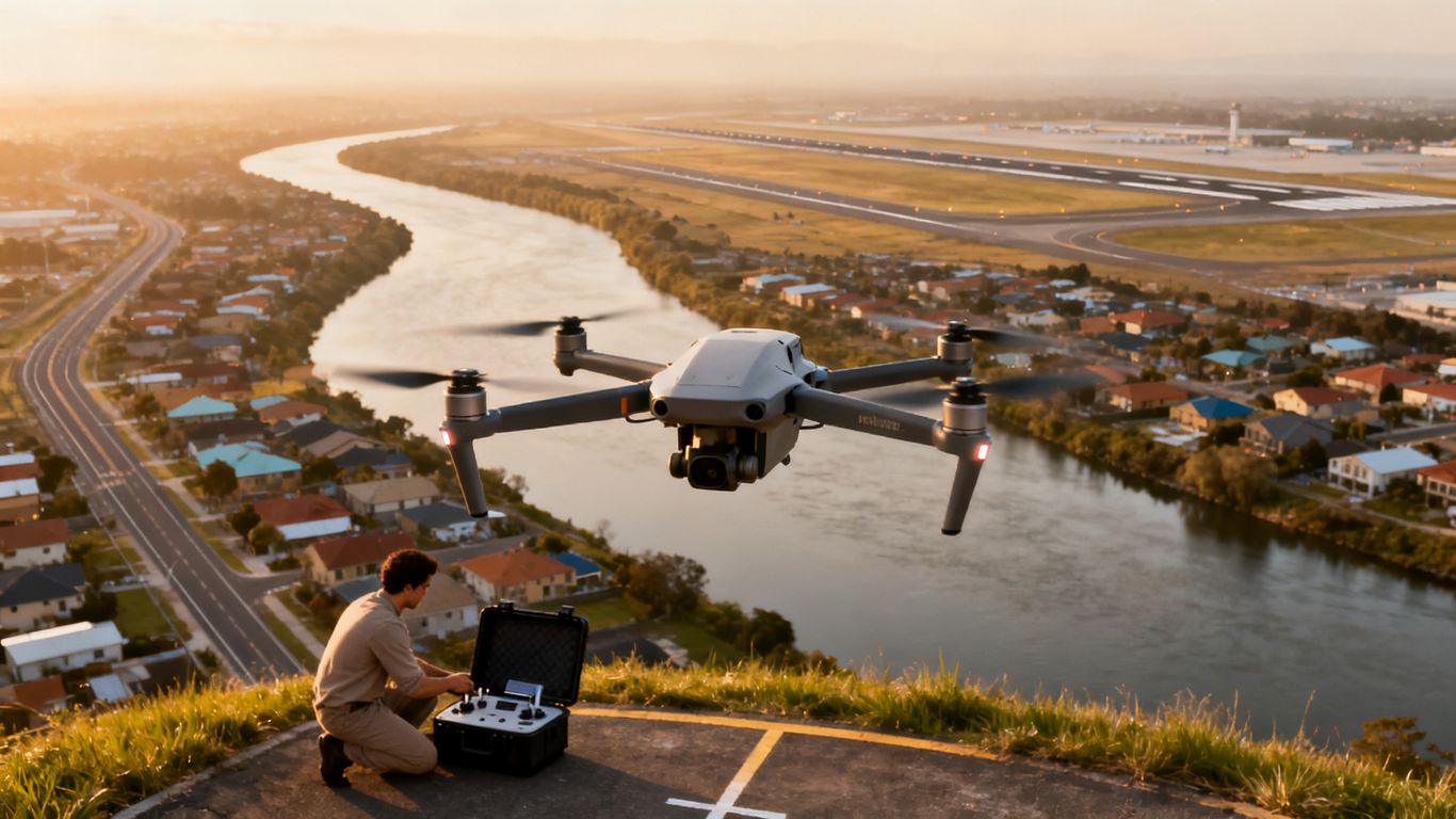
Drone Permit Requirements in Sacramento County: 2026 Guide
Key Takeaways
Sacramento County drone flights are governed by overlapping federal, state, county, city, and site-specific rules. A safe plan starts with the FAA, then checks the launch location, people on the ground, and any required permission.
- Register the drone and follow Remote ID rules when required.
- Recreational flyers need TRUST completion; commercial work generally falls under Part 107.
- Check LAANC and temporary flight restrictions before flying near airports or other controlled airspace.
- Confirm county, city, park, event, and property-owner restrictions separately.
- Keep approvals, insurance documents, flight details, and safety decisions in a project file.
Start with the rules that apply to every drone flight
Every flight in Sacramento County begins with federal aviation requirements, regardless of whether the pilot is flying for fun, work, or a public agency. The FAA rules cover registration, pilot qualifications, aircraft operation, and airspace. California and local rules then add privacy, safety, land-use, and access requirements. Treat the federal rules as the baseline rather than the complete permission to launch.
FAA registration and Remote ID requirements
Most drones that must be registered with the FAA must also comply with Remote ID requirements, subject to applicable exceptions. Registration is tied to how the aircraft is operated, so a recreational flight and a business flight may not follow exactly the same registration path. Before departure, confirm the drone’s registration status, ensure the registration marking is handled as required, and check that the aircraft’s Remote ID method is functioning.
Keep the registration information accessible during the operation. If a drone is modified, replaced, or moved between operating categories, review the FAA requirements again instead of assuming an old setup still applies.
Recreational flyer rules and the TRUST certificate
A person flying purely for recreation generally must follow the FAA’s recreational model aircraft rules and complete The Recreational UAS Safety Test, commonly called TRUST. The test is not a substitute for airspace approval, and it does not remove the need to follow local park or property rules. A recreational pilot still needs to maintain safe control, respect people and property, and avoid interfering with emergency operations.
The FAA’s California drone laws guide is a useful starting point for reviewing how recreational requirements fit alongside state-specific restrictions. Use current FAA material and local authorities for the final decision because rules and operating conditions can change.
Part 107 certification for commercial operations
Commercial, business, and other non-recreational operations generally require the pilot to operate under the FAA’s Part 107 rules, including the appropriate Remote Pilot Certificate, unless another legal authority applies. The certificate addresses the pilot’s knowledge of aviation subjects, but it does not automatically authorize a flight in controlled airspace or on restricted property.
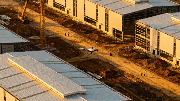
A company can hire a qualified pilot, but the flight plan still needs to account for the aircraft, airspace, people, location, and purpose of the work. For construction documentation, 1st Choice Aerials describes services that include progress monitoring, site evaluations, pre-construction planning, and aerial imagery; the operator still must meet all FAA and local requirements for the specific assignment.
Drone weight, labeling, and operating limitations
Weight affects registration and some operating requirements, but it is only one part of the compliance picture. Pilots also need to consider visual line of sight, altitude limits, operations near people or moving vehicles, daylight and visibility conditions, and any waiver or authorization that may be needed. The aircraft should be identified and maintained in a way that supports safe, accountable operation.
A light drone is not automatically free to fly anywhere. The launch location still matters: a compliant aircraft can remain prohibited from a park, event venue, private property, or controlled-airspace area without additional permission.
Determine whether your flight needs FAA airspace authorization
Sacramento’s airport network makes airspace planning a central part of the drone permit requirements sacramento county. A flight can be legal from the pilot’s certification standpoint and still require authorization because of its location. Check the airspace before selecting a takeoff point, not after arriving with the equipment unpacked.
Controlled airspace around Sacramento-area airports
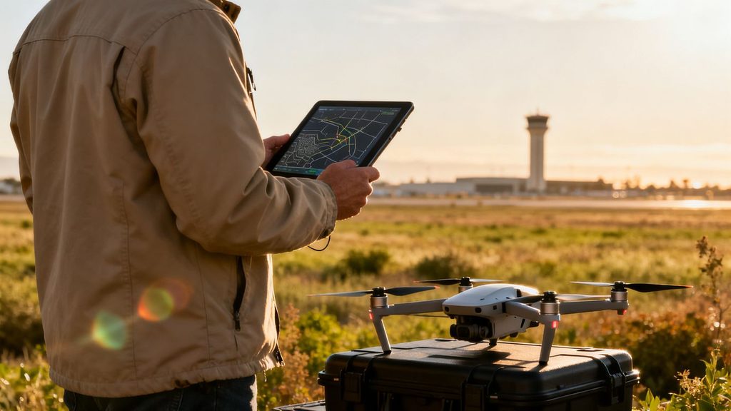
Airspace around Sacramento International Airport and other airports may be controlled, layered, or subject to operating limitations. The map alone is not enough: airport proximity, altitude, facility boundaries, and the requested time of flight can affect the result. Review an authoritative FAA-approved airspace tool and identify whether the planned operation falls within a LAANC-enabled area.
Airports also have practical safety concerns that may not appear as a simple yes-or-no answer. Avoid approach and departure paths, remain alert to manned aircraft, and do not treat an authorization as permission to disregard other operating rules.
Using LAANC for near-real-time approval
LAANC can provide near-real-time authorization for eligible operations in controlled airspace through participating FAA-approved providers. The pilot enters the location, altitude, and timing requested, then follows the limits returned by the system. Approval is specific to the submitted operation; it does not cover a larger area, a higher altitude, or a different time than the authorization allows.
Save the authorization before flight and compare it with the actual plan. If the proposed launch site or altitude changes, submit a new request or confirm that the existing approval still applies.
Operating near Sacramento International Airport and other airports
Flights near Sacramento International Airport, Sacramento Executive Airport, Mather Airport, McClellan Airport, and smaller landing facilities deserve careful review. Airport names and boundaries can be confused, particularly when a project spans several parcels. Confirm which airport’s airspace affects the proposed location and whether the operation needs LAANC approval, further coordination, or a different launch point.
The Sacramento drone laws overview provides a useful local starting point for identifying airport-related questions, but pilots should verify current airspace information through the FAA and the relevant airport or authority. Never rely on an old screenshot or a verbal assumption from a previous project.
Altitude limits, temporary flight restrictions, and special-use airspace
FAA altitude limits apply even when a flight is outside controlled airspace. Temporary Flight Restrictions can appear for wildfires, major events, VIP movements, or other emergencies, and they can change quickly. Special-use airspace, stadium restrictions, military activity, and emergency response operations may create additional limits.
Check the current notices immediately before takeoff and again if the flight is delayed. A plan that was acceptable in the morning may need to be postponed by afternoon because a TFR or emergency operation has begun.
Understand Sacramento County and local drone restrictions
Federal authorization does not grant access to every public place. Sacramento County, the City of Sacramento, individual cities, park agencies, schools, venues, and property owners may set separate rules about launching, landing, filming, or entering the site. The key question is not only whether the aircraft may occupy the airspace, but also whether the pilot has permission to use the ground location.
County park rules and launch-site limitations
County regional parks may restrict or prohibit drone launching and operation, particularly where wildlife, pedestrians, shared trails, or noise create safety concerns. The reported Sacramento County policy has included a ban on drones in regional parks, with special-event permit applications considered case by case. Confirm the current rule directly with the county or park office before planning a flight from public land.
A nearby private parcel may offer a lawful launch alternative, but that does not erase airspace, privacy, or public-safety duties. Get written permission for the actual takeoff and landing area, and do not assume that a public parking lot or trailhead is an approved launch site.
City of Sacramento regulations versus county regulations
The City of Sacramento and Sacramento County are separate governments, and their rules may not match. A project near the city boundary can cross jurisdictions within a short distance, while a county park may have its own policy on top of countywide rules. Identify the exact parcel, governing agency, and land manager before finalizing the plan.
For construction or property documentation, 1st Choice Aerials discusses aerial surveys, consistent imagery, and visual project reporting. Those uses still require a location-by-location review of airspace and access rules; a useful deliverable does not itself create permission to fly.
Restrictions at schools, public facilities, and special events
Schools, government buildings, sports venues, hospitals, correctional facilities, and event sites can impose restrictions beyond ordinary city or county rules. Security staff may control access, and an event organizer may require insurance, a flight plan, proof of pilot qualification, or a designated launch area. Some venues may prohibit drones altogether.
Ask the responsible facility or event contact in writing. If the operation involves children, patients, crowds, or sensitive facilities, plan for greater separation and stronger privacy safeguards rather than relying on a casual verbal approval.
Checking local rules before taking off
A reliable local check identifies the landowner, the agency with authority over the site, the event or facility contact, and any permit process. Search results and old social-media posts can help locate the right office, but they should not be treated as current permission. Keep the confirmation with the flight records so the pilot can show what was checked and when.
Follow California privacy and public-safety requirements
California law adds concerns that are not solved by FAA compliance. A pilot may have permission to fly and still create legal exposure by recording private activity, harassing a person, interfering with emergency responders, or entering restricted property. Good planning limits unnecessary collection and makes the purpose of the footage clear.
Trespass, harassment, and reasonable expectations of privacy
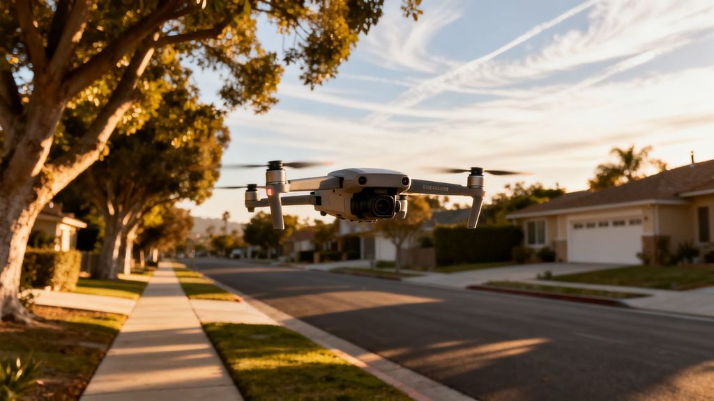
Do not use a drone to peer into places where people reasonably expect privacy, such as enclosed yards, windows, or private areas shielded from ordinary observation. California privacy and trespass laws can apply to the way a drone is used, the location of the aircraft, and the resulting recording. Civil claims may also arise even when a flight appears technically acceptable under FAA rules.
Keep the camera pointed toward the stated project purpose, avoid lingering over private spaces, and do not collect more personal footage than necessary. When in doubt, change the flight path or obtain informed permission rather than trying to justify intrusive footage later.
Restrictions involving emergency response operations
Drones must never interfere with firefighting, medical response, law enforcement, or other emergency activity. California law addresses interference with first responders, and a drone that enters an emergency scene can force aircraft or crews to change operations. A pilot should land immediately when directed by public-safety personnel and should stay well away from smoke, rescue scenes, and active response corridors.
Emergency restrictions can appear with little warning. Monitor local alerts and airspace notices, and cancel the flight if the situation changes. No commercial deadline or recreational image is worth adding risk to an active response.
State rules affecting public agencies and critical infrastructure
Public agencies may operate under Part 107 or another applicable federal authorization, but their governmental role does not eliminate privacy and safety duties. Critical infrastructure, state buildings, utility sites, transportation facilities, and security-sensitive locations may have access controls or additional restrictions. Confirm both the aviation authority and the facility’s own approval process.
A request from a client or public employee is not, by itself, proof that every required authorization is in place. Ask who owns the site, who controls access, and which office has approved the operation.
Safe practices for filming people and private property
Use a narrow flight path, define the subjects and areas that need to be recorded, and avoid capturing unrelated homes or identifiable people whenever practical. Notify people who will be intentionally filmed, provide a contact for questions, and set a retention period for footage. Blur or remove unnecessary personal information before delivery when the project allows it.
A short privacy review before takeoff can prevent a long dispute afterward. It should cover the camera direction, expected subjects, nearby residences, public activity, and what happens to footage that falls outside the assignment.
Prepare permits and documentation for commercial drone work
Commercial work often involves more paperwork than the FAA minimum. A client, property owner, general contractor, venue, insurer, or public agency may each ask for different documents. Preparing them early helps separate legal authorization from ordinary project administration and reduces last-minute cancellations.
Information clients and property owners may request
Clients may request a pilot’s Remote Pilot Certificate, drone registration information, airspace authorization, insurance certificate, safety plan, and a description of the intended flight. Property owners may also ask for the launch location, dates, times, camera purpose, and how people or vehicles will be kept clear.
Put the agreed scope in writing. A simple project brief should identify the property, deliverables, flight window, responsible contact, and any limits on filming neighboring property or the public.
Certificates of insurance and liability coverage
Some commercial clients and public agencies require a certificate of insurance before allowing a flight. Coverage terms vary, so confirm whether the policy addresses aviation operations, additional insured status, the property, the event, and the requested dates. Insurance does not replace FAA authorization or permission to use the land.
Give the insurer accurate information about the operation. A mismatch between the proposed work and the policy can create problems after an incident, even if the pilot followed a careful flight plan.
Property-owner permission and location releases
Written property permission should identify who grants access and what the permission covers. Include launch and landing areas, dates, crew access, filming rights, and whether the client may use the resulting images or video. If several parcels are involved, obtain permission for each relevant location rather than treating one signature as universal.
A release can clarify ownership and usage, but it cannot authorize entry into controlled airspace or override a county park prohibition. Keep those approvals as separate parts of the project file.
Film, event, and public-land approvals
A film permit, event approval, or public-land permit may be required even when the aircraft has FAA authorization. Applications can ask for a site map, safety perimeter, certificate of insurance, pilot credentials, emergency contacts, and a detailed schedule. Submit early enough to allow revisions or coordination with venue staff.
For large sites, consistent aerial documentation can help a project team communicate conditions and progress. 1st Choice Aerials describes weekly progression mapping and high-resolution imagery for a large development; any comparable assignment still depends on the applicable permits, approvals, and operating conditions.
Use a practical preflight process in Sacramento County
A repeatable preflight process turns scattered rules into a decision that can be explained and documented. Start with the exact coordinates, then work outward to airspace, land access, people, weather, and emergency conditions. If one critical answer is missing, postpone the operation rather than improvising at the site.
How to verify airspace and temporary restrictions
Enter the precise launch point and planned altitude into a current FAA-approved airspace resource and check whether LAANC authorization is required. Review active TFRs, NOTAMs, airport conditions, and local emergency information shortly before departure. Recheck if the flight moves, rises above the approved altitude, or is delayed.
Record the date and time of each check. A screenshot or saved authorization is helpful, but it should accompany—not replace—the pilot’s understanding of the limits.
What to carry on the day of the flight
Bring the documents and equipment needed to demonstrate a controlled operation. A practical kit commonly includes:
- Remote Pilot Certificate or proof of the applicable recreational qualification.
- Drone registration details and Remote ID information.
- LAANC approval or other FAA authorization, when required.
- Property, venue, park, or event permission and the insurance certificate.
- Emergency contacts, a landing plan, batteries, and basic maintenance supplies.
Review the documents before leaving for the site so a missing approval is discovered while there is still time to fix the problem. Keep digital copies available, but carry a reliable offline copy when cell coverage may be limited.
Weather, crowds, roads, and nearby obstacles
Weather affects visibility, battery performance, aircraft control, and the safety of people below. Check wind, rain, heat, smoke, and visibility, then account for trees, wires, towers, cranes, roads, rail lines, and nearby airports. A location that appears open from a map can be difficult to operate from once pedestrians, vehicles, and changing shadows are considered.
Set a clear takeoff and landing area, establish who watches the surroundings, and pause if an uninvolved person enters the safety zone. Never use a busy public area as though it were a controlled studio.
How to document approvals and maintain flight records
After the operation, retain the flight date, location, pilot, aircraft, authorization numbers, weather, incidents, maintenance notes, and client or property approvals. Note any deviation from the original plan and how it was handled. These records support internal review and make repeat work easier without assuming conditions are unchanged.
A short postflight note is often enough: what was checked, what happened, what footage was collected, and what should change next time. That discipline is especially valuable when a project returns to the same property months later.
Conclusion
Drone permit requirements Sacramento County are best handled as a layered review: meet FAA requirements, secure airspace authorization when needed, confirm local access rules, protect privacy, and document every approval. A careful plan makes the flight safer and gives clients, property owners, and public agencies a clear record of why the operation was allowed to proceed.
Frequently Asked Questions
Do all drone flights in Sacramento County need a permit?
No. The required approval depends on the purpose of the flight, the aircraft, the airspace, the launch location, and the property or event involved. FAA compliance may be required even when no local land-use permit applies, and local permission may be required even when FAA authorization is not.
Do recreational drone pilots need a certificate?
Recreational flyers generally need to complete TRUST and follow the FAA’s recreational model aircraft rules. TRUST does not replace drone registration, airspace authorization, or permission to launch from a particular property or park.
Is Part 107 required for commercial drone work?
Commercial and other non-recreational operations generally operate under Part 107 and require an appropriately certificated remote pilot unless another legal authority applies. The pilot must still address airspace, people, property, privacy, and local restrictions.
Can I fly a drone in a Sacramento County regional park?
County regional parks may prohibit drone operations, and reported county policy has included a broad ban with special-event requests considered case by case. Confirm the current rule with the county or park office before arriving with a drone.
Do I need LAANC approval near Sacramento airports?
If the planned operation is in controlled airspace covered by LAANC, the pilot may need near-real-time authorization before flying. Check the exact coordinates, altitude, and timing through a current FAA-approved provider.
Can I record a neighbor’s property from above?
A drone’s ability to fly in an area does not automatically make recording private activity lawful. Avoid intrusive filming, respect reasonable expectations of privacy, and obtain permission when the assignment intentionally captures private property or identifiable people.
What records should a commercial drone operator keep?
Keep pilot and aircraft information, registration details, airspace approvals, property or venue permissions, insurance documents, weather notes, flight dates, incidents, and any changes to the plan. Organized records make compliance easier to demonstrate and repeat operations easier to plan.