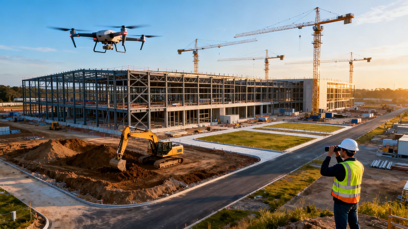
How to use drone data for construction quality control inspections
Key Takeaways
Drone data becomes useful for quality control when it is tied to clear acceptance criteria, repeatable collection methods, and accountable review. The aircraft is only one part of a process that must connect visual evidence with project decisions.
- Define inspection goals and measurable indicators before scheduling flights.
- Plan safe, repeatable missions that suit the site and required detail.
- Process imagery into organized maps, models, and inspection records.
- Compare observed conditions with approved designs, tolerances, and milestones.
- Combine aerial evidence with field judgment and documented corrective action.
Define quality control goals before collecting drone data
A successful inspection starts with a question, not a flight. Decide what the team needs to verify, which project records govern acceptance, and who will act on the findings. This turns drone data for construction quality control inspections from a collection of attractive images into evidence that supports a defined decision.

Identify inspection requirements by project phase
Quality requirements change as work progresses. Early earthwork reviews may focus on site limits, grading, drainage paths, and material quantities, while later inspections may examine façade installation, roofing, structural elements, or closeout conditions. Write the inspection question for each phase and identify the locations, assemblies, and milestones that must be visible.
A useful plan also states what aerial imagery cannot verify. Hidden conditions, fasteners, embedded components, and many interior details still require appropriate ground-based inspection or specialized testing. The aerial mission should supplement those methods rather than quietly replace them.
Choose measurable quality control indicators
Choose indicators that can be observed, measured, or compared over time. Examples include elevation differences, visible surface damage, incomplete areas, installation coverage, stockpile volumes, and the location of open quality issues. Each indicator needs a clear unit, reference date, and acceptance rule.
Keep the list short enough for a team to use consistently. If every flight produces dozens of loosely defined observations, reviewers may spend more time sorting information than resolving problems. Specific acceptance criteria make the resulting record easier to interpret and defend.
Map drone data to plans, specifications, and tolerances
A map or model has value only when its observations can be related to approved project information. Before capture, identify the relevant plan sheets, BIM views, specifications, submittals, inspection checkpoints, and tolerance tables. Establish common coordinates, elevations, stationing, or grid references so an issue can be found again in the field.
This is also where teams should distinguish an engineering measurement from a visual indication. If the project requires a formal survey or legal deliverable, involve the appropriately licensed professional. Drone imagery can provide useful project information without being presented as professional land surveying.
Establish roles for pilots, inspectors, and project managers
Assign responsibility for mission planning, site coordination, data review, issue verification, and final disposition. The pilot needs a safe operating plan and a defined area of interest. The inspector needs enough context to judge whether an observation matters. The project manager needs a clear route from finding to owner, due date, correction, and closure.
A written responsibility matrix prevents a common failure: everyone assumes someone else will review the imagery. It also gives the team a practical basis for using construction schedule verification methods when quality observations need to be compared with planned milestones.
Plan safe and accurate construction drone flights
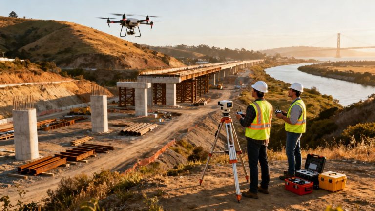
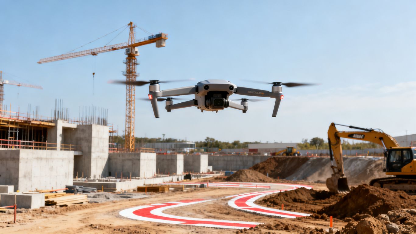
Flight planning affects both safety and data quality. A mission should account for obstacles, workers, equipment, access restrictions, lighting, image overlap, battery limits, and the detail required for the inspection. The best plan is usually repeatable enough to support comparison, while remaining flexible when conditions change.
Select the right drone, camera, and sensors
Match the aircraft and sensor to the inspection question. A visual review may need high-resolution still images from consistent angles, while terrain and earthwork work may benefit from mapping-oriented capture. Video can help document a continuous condition or provide context, but it should not be treated as a substitute for every measurement or detail.
Consider access, flight time, wind exposure, required ground detail, and safe standoff distances. Equipment selection should follow the deliverable, not the other way around. A preflight check should cover batteries, storage, firmware, camera settings, calibration, and backup plans.
Create flight paths for buildings, infrastructure, and earthworks
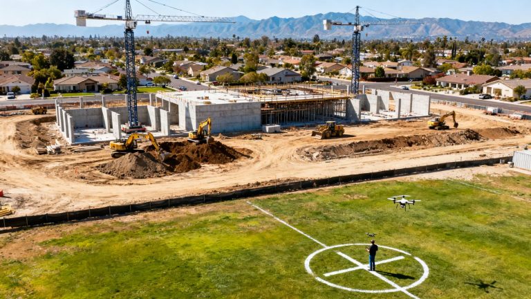
Different assets need different patterns. A building inspection may require parallel façade passes and roof coverage. A linear asset may call for consistent stationing and viewpoints along its alignment. Earthwork capture should cover the full boundary, breaklines, stockpiles, and areas where elevation changes matter.
Repeatability is especially valuable. Preserve useful details such as altitude, camera angle, speed, overlap, and key viewpoints, then record any necessary deviations. For practical background on planning and processing, a quality assurance guide can help teams think through site assessment, permissions, equipment preparation, and risk controls.
Use ground control points and checkpoints
Ground control points and independent checkpoints help relate imagery to known locations and test the resulting model. Place them where they are visible, stable, and distributed across the work area rather than clustered in one convenient corner. Record their identifiers and locations in the project file.
Checkpoints should be treated as a validation step, not decoration. Compare their known positions or elevations with the processed output and document the result. Where the project calls for formal survey-grade or legal deliverables, coordinate with a licensed Professional Land Surveyor rather than implying that aerial capture alone satisfies that requirement.
Account for weather, site conditions, and airspace restrictions
Wind, rain, dust, glare, low light, standing water, and changing shadows can reduce the usefulness of otherwise complete imagery. Construction sites add cranes, temporary structures, moving vehicles, overhead lines, and workers who may not expect an aircraft nearby. Review the site shortly before launch and pause when conditions no longer support a controlled operation.
Confirm applicable airspace, permissions, property access, privacy expectations, and site rules before the scheduled date. A safe rescheduling decision is better than forcing a mission that creates risk or produces inconsistent data.
Capture and process drone data for inspections
Capture should follow the inspection plan closely enough that another reviewer can understand what was covered and when. Processing then turns individual files into usable project information, but processing is not a quality guarantee by itself. Every output needs a basic review for completeness, clarity, alignment, and fitness for the decision at hand.
Collect high-resolution images and aerial video
Use image settings that preserve the detail needed for the intended review. Maintain suitable overlap for mapping missions, avoid unnecessary motion, and capture supplementary oblique views where flat imagery would hide a façade, edge, or vertical condition. Aerial video can provide context, but still images often make annotation and side-by-side comparison easier.
Record the date, time, site area, weather, flight path, sensor, and any unusual conditions. If a critical area is obscured, poorly lit, or missed, mark it for reflight rather than allowing the gap to disappear inside a large folder of files.
Generate orthomosaics, 3D models, and point clouds
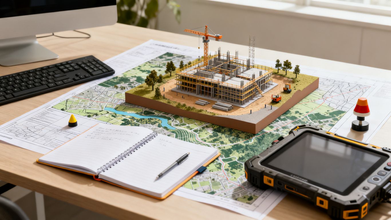
Select outputs based on the inspection task. An orthomosaic can support location-based review, a 3D model can help visualize surfaces and structures, and a point cloud can support spatial analysis when the capture and processing are appropriate. The output should retain the coordinate and project references needed for comparison.
Review processing settings and coverage before distributing results. A visually appealing model may still contain holes, blurred areas, warped edges, or poorly aligned sections. Those limitations should be recorded clearly so downstream users do not mistake a polished presentation for verified accuracy.
Organize files with consistent naming and site references
A naming convention should answer basic questions without opening every file: which project, area, date, flight, sensor, and processing version does it belong to? Keep raw data separate from processed outputs, and preserve the relationship between imagery, control points, flight logs, models, maps, and review notes.
A practical structure might use project code, area, capture date, and deliverable type. Link observations to grid references, elevations, stationing, or asset IDs where possible. Consistency saves time later, especially when an issue must be traced back to its original evidence.
Verify data quality before using it for decisions
Perform a short quality gate before an inspector relies on the output. Confirm that the area of interest is covered, key details are readable, timestamps and references are present, and the model or map behaves as expected at known checkpoints. Note limitations in plain language.
The reviewer should also ask whether the data answers the original inspection question. If it does not, the right response may be a targeted reflight, a ground visit, or a different sensor—not a confident conclusion from incomplete evidence.
Apply drone data to construction quality control
Once the data has passed review, connect it to the project’s normal quality process. Aerial evidence can help teams see broad patterns, revisit difficult areas, and compare conditions across dates. It becomes most useful when each observation is tied to a location, requirement, responsible party, and next action.
Compare completed work with designs and BIM models
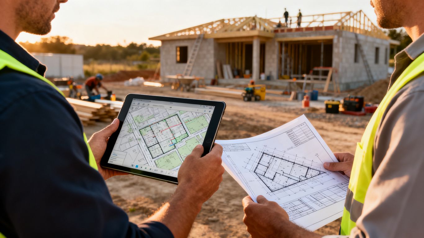
Overlaying captured conditions with approved plans or BIM views can reveal location-based differences that are difficult to notice during a quick walk. Use common coordinates and confirm that the design version is current. Record whether an apparent difference is a true deviation, a modeling issue, a capture limitation, or simply work that is not yet complete.
A comparison should prompt investigation rather than automatically label work defective. The project team still needs to examine specifications, approved changes, field conditions, and the relevant acceptance authority before assigning corrective action.
Inspect grading, elevation, and drainage conditions
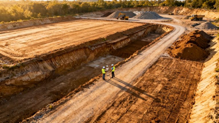
Mapped surfaces can help reviewers examine slopes, low points, transitions, stockpiles, and drainage paths across areas that are cumbersome to cover on foot. Compare the captured surface with the approved design or prior condition using the project’s stated references and tolerances.
For earthwork quantity checks, preserve the boundary, surface date, processing method, and validation notes. A stockpile volume workflow may be useful when material inventory is part of the quality or progress question, but quantities should be interpreted within the project’s measurement requirements.
Detect defects, damage, and incomplete work
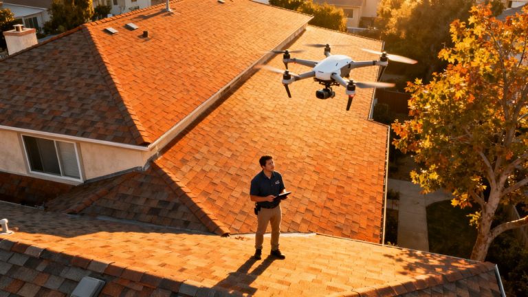
High-resolution imagery can reveal visible cracking, damaged finishes, missing components, exposed areas, inconsistent installation, or work that appears unfinished. Use repeatable viewpoints so a reviewer can distinguish a new condition from a change in perspective. Mark the precise location and include enough surrounding context for the field team to find it.
Do not infer concealed defects from surface imagery alone. Aerial findings are leads for inspection and documentation; they may need ground verification, testing, or review by the responsible technical professional.
Track materials, quantities, and installation progress
Repeated capture can show whether work has advanced through defined areas and whether visible materials are present, staged, or installed. Tie observations to activity codes, areas, and milestone dates rather than relying on a general statement that the site “looks ahead.”
For teams managing several work fronts, a simple comparison table can clarify what the data supports and what still needs confirmation:
| Quality control question | Useful aerial output | Follow-up needed |
|---|---|---|
| Is the work area complete? | Repeatable images or orthomosaic | Confirm hidden or inaccessible work |
| Does the surface match design? | Georeferenced model or elevation comparison | Validate tolerances and checkpoints |
| Are materials accounted for? | Site imagery and volume estimate | Reconcile with field and delivery records |
| Has a visible issue changed? | Time-stamped repeat imagery | Verify correction on site |
The table is a starting point for disciplined review, not a replacement for the project’s approved inspection forms. Its value comes from making the next verification step explicit.
Improve inspection accuracy and documentation
Quality control records should make it easy to understand what was observed, where it occurred, when it was captured, and how the team responded. Aerial data can strengthen that record, but only if the team preserves context and avoids overstating precision. Clear limitations are part of reliable documentation.
Measure deviations against approved tolerances
Use the tolerance stated in the governing plan, specification, or approved submittal. Do not create a new acceptance threshold simply because a map makes a difference visible. Record the reference surface or model version, measurement method, date, and any known uncertainty.
Where a deviation is close to the limit, treat it as a prompt for additional verification. Resolution, control quality, processing choices, viewpoint, and site conditions can all affect interpretation. A qualified reviewer should determine whether the observation supports acceptance, correction, or further investigation.
Combine drone findings with ground-based inspections
Aerial review works best as one layer in a broader inspection program. Pair it with field photographs, measurements, material records, test results, trade partner input, and direct observation. This combination helps separate a visible symptom from its cause and prevents the team from treating a convenient view as a complete inspection.
For safety-related observations, aerial imagery can improve visibility and help prioritize areas for attention, while on-site judgment remains essential. The same principle applies to structural, waterproofing, mechanical, and concealed work reviews.
Create annotated reports and visual evidence
A useful report usually includes a concise finding, location reference, date, supporting image or model view, applicable requirement, responsible party, and requested action. Use arrows, boundaries, dimensions, and captions sparingly so the original condition remains understandable. Preserve the unedited source file alongside the annotation.
A consistent report format helps project managers compare findings across inspections. Aeroskape’s Commercial Drone Inspection service is relevant when a project needs high-resolution imagery, terrain visualization, or 3D aerial modeling for inspection and decision support.
Maintain an auditable record of quality issues and corrections
Store the original evidence, processed deliverable, review notes, issue number, response, correction evidence, and closure date together. Keep version history when a model, plan, or annotation changes. Access controls and retention periods should follow the project agreement and applicable requirements.
A record is strongest when another person can retrace the finding without relying on the memory of the original reviewer. That means consistent IDs, dates, locations, and links between observations and corrective action.
Build a repeatable drone inspection workflow
A repeatable workflow reduces the temptation to treat every flight as a one-off task. It defines what happens before capture, during processing, during review, and after an issue is found. The workflow should be practical for the project team, not so elaborate that people bypass it under schedule pressure.
Integrate drone platforms with construction management software
Decide where approved imagery, maps, models, annotations, and issue records will live. Use stable project and location identifiers so aerial findings can be connected to schedules, drawings, RFIs, inspections, and corrective action records. Integration may be as simple as a controlled file structure or as developed as a connection with existing project management software.
The goal is continuity. A reviewer should be able to move from a project issue to its supporting aerial evidence without searching across disconnected personal drives and message threads. Aeroskape’s Aerial Data Collection offering fits projects where organized visual reporting and site visibility support project management decisions.
Set review schedules and escalation procedures
Set capture and review intervals around the work, risk, and decision cycle. A recurring flight may suit earthwork or progress checks, while a milestone-based mission may be better for a façade or installation package. Define who reviews normal findings and how urgent safety, quality, or schedule concerns are escalated.
A simple escalation path might include same-day notification for immediate hazards, a short review window for apparent nonconformance, and routine inclusion in the next coordination meeting for lower-risk observations. The response should match the consequence, not merely the size of the image set.
Train teams to interpret aerial inspection data
Training should cover more than flight safety. Reviewers need to understand image limitations, model artifacts, coordinate references, annotation practices, and when aerial evidence requires field confirmation. Pilots and inspectors should also know how the project defines acceptance, privacy, retention, and issue closure.
Short calibration exercises can help. Give the team a sample dataset, ask each person to identify findings and uncertainties, then compare interpretations against the approved requirements. This builds shared judgment before a live dispute or deadline puts pressure on the process.
Protect data, meet regulatory requirements, and scale the program
Protect project imagery and location information with appropriate permissions, storage controls, transfer practices, and retention rules. Confirm operating requirements for the jurisdiction and site, including airspace, authorization, privacy, insurance, and owner permissions. Keep records of planning and compliance checks.
Start with one repeatable use case, measure whether it improves review or documentation, and expand only when the team can support the added volume. For projects that need to request a consultation, describe the asset, inspection question, location, schedule, desired deliverables, and any known site constraints.
Conclusion
Drone data can strengthen construction quality control when it is planned around real inspection questions, checked for accuracy, and connected to approved requirements and corrective action. Used with field judgment and clear records, it gives project teams a consistent visual basis for reviewing progress, surfaces, installations, and difficult-to-access areas without overstating what aerial evidence can prove.
Frequently Asked Questions
What is drone data for construction quality control inspections?
It is aerial imagery, video, maps, models, and related project information collected to help verify visible conditions against plans, specifications, milestones, and approved tolerances.
Can drone imagery replace a traditional construction inspection?
Usually not. It can improve coverage and documentation, but concealed work, material testing, formal measurements, and professional judgments may require ground-based inspection or other qualified methods.
What construction quality issues can drones help identify?
They can help reveal visible damage, incomplete work, surface changes, grading differences, drainage concerns, installation inconsistencies, and conditions in difficult-to-access areas.
How accurate are drone construction measurements?
Accuracy depends on the aircraft, sensor, flight plan, control, processing, site conditions, and validation method. Measurements should be checked against project requirements and qualified review before acceptance decisions.
How often should a construction site be inspected with a drone?
The schedule should follow project risk, work phases, milestones, and the speed at which conditions change. Some areas suit recurring flights, while others need capture at specific installation or closeout points.
What should be included in a drone inspection report?
Include the date, area, capture conditions, relevant image or model view, location reference, observed condition, applicable requirement, limitations, responsible party, requested action, and closure evidence when the issue is corrected.
What safety and compliance issues apply to construction drone flights?
Teams should address airspace and operating requirements, site permissions, worker and public safety, obstacles, weather, privacy, insurance, data handling, and coordination with active construction operations.